Parking
Start at Boulton Bridge Day Use Area; its small parking lot and toilet are next to the trail start. A Kananaskis Conservation Pass is required for vehicles parked in Kananaskis Country.
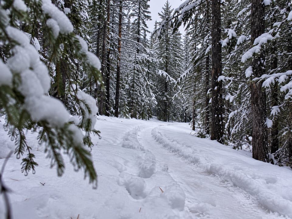
Peter Lougheed Provincial Park, AB
A winter loop linking mountain views, a lakeside path and camp loops.
Overview
Map & elevation
Plan your hike

The highest, rockiest slopes around here are a summer buffet for grizzly bears.
Peter Lougheed Tour Guide
Parkwolf is a GPS audio tour guide for Peter Lougheed Provincial Park. As you drive, it chimes in with what’s ahead: hidden gems, upcoming stops, history, geology, and wildlife, right through your car’s speakers.
See the Peter Lougheed audio tourRecorded for this trailhead
Boulton Creek: Trading Post and Creekside Break“Boulton Creek Trading Post is coming up, a useful stop for ice cream, baked goods, or a few forgotten camping supplies. It's inside the campground, but visitors can use the shop too.”
Plays as you drive up to this trailhead in the Parkwolf Peter Lougheed Tour Guide.
More stories near here in the app
“Fantastic app with many points of information… It’s great to just turn on while you’re driving and it gives you an audio tour of the national Park. We love it!!!!”


Trail guide
Torpor Loop is a winter-only 6.1 km (3.8 mi) circuit from Boulton Bridge Day Use, linking a forest climb and open powerline corridor with Elk Pass, a lakeside path and the Lower Lake campground loops. It is an easy outing with a few short steep pitches rather than a summit climb. The park lists 6.1 km; two trip accounts measure 6.3 km and 7.0 km, and the connected map route measures about 7.1 km depending on the campground and access-road lines used. Allow about two hours and leave room for the longer end.
Go clockwise from Boulton Bridge. The first stretch climbs through dense evergreens, with two brief steeper pitches onto a wooded ridge. The trail then opens onto a long, straight powerline corridor before dropping toward Elk Pass Day Use. This is the route's broadest view: Mount Fox and The Turret stand out across the open strip. The powerline is visible too, but the uncluttered mountain view is the reason to pause here.
At Elk Pass, follow the loop around the day-use area and back into the trees. A narrow forest path follows a creek before crossing Kananaskis Lakes Trail near Upper Lake Drive. From there, the route joins the High Rockies Trail on the Lakeside bike path. Expect a long gradual climb and then a descent to the loop's dependable lake viewpoint and picnic table. Trees screen the water along much of the path, so save your lake photos for that opening.
The route flattens through the Lower Lake campground's C and B loops, crosses a bridge over Boulton Creek, then climbs toward Lower Lake Day Use and Kananaskis Lakes Road. The final stretch passes the Boulton Creek Trading Post area and the historic Boulton Creek Cabin before returning to the bridge. Keep an eye out for the red snowshoe markers near the Whiskey Jack ski-trail junction; it is possible to drift onto a shortcut or the wrong trail if you miss the turn.
This is a winter route, used for snowshoeing and winter biking; the park's trail listing also includes hiking and skiing. Bring the winter map because directional markers are limited at some junctions. Dogs are allowed on leash no longer than 2 m. The Boulton Bridge start has a small lot and a toilet. A Kananaskis Conservation Pass is required for vehicles parked in the area.
The loop revives a paved path once used for winter skiing and a powerline access corridor once used to move grooming equipment between trail areas. The name “Torpor” nods to those routes returning from dormancy, and to the winter state bears enter.
Wildlife
 132 sightingsGrizzly BearMost seen around 8 PMSighting map
 17 sightingsCanada LynxMost seen around 8 PMSighting map
 30 sightingsBlack BearMost seen around 6 AMSighting map
 69 sightingsMooseMost seen around 5 PMSighting map
 176 sightingsBighorn SheepMost seen around 6 PMSighting map
 19 sightingsBald EagleMost seen around 8 AMSighting map
Sighting maps show where each species has been reported across Peter Lougheed. Wildlife moves, so no sighting is guaranteed.
Keep exploring
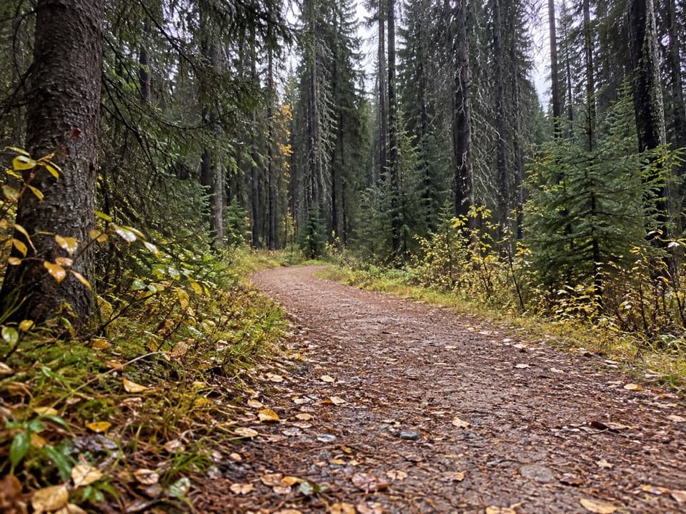 ModerateWhiskey Jack Trail3.9 km · 1.3 hr · 0.2 km awayA steep one-way climb links Boulton with the Lookout and Pocaterra trails.
 ModerateLookout Trail12.1 km · 4.5 hr · 0.2 km awayA forest approach reaches a steep climb and panoramic fire lookout.
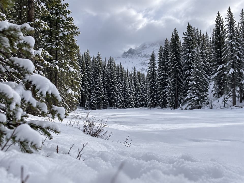 ModerateFrozen Toad Loop Snowshoe Trail8.1 km · 2.3 hr · 0.4 km awaySnowshoe through forest, frozen wetlands, and along Marl Lake.
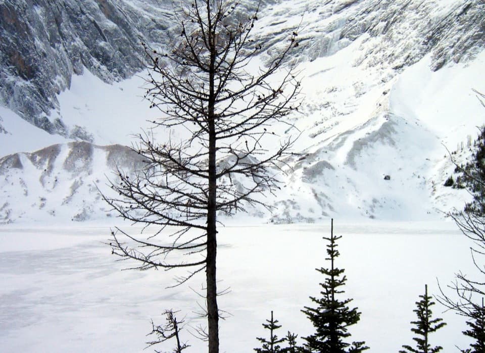 ChallengingFrozen Lake via Elk Pass14 km · 6 hr · 1.7 km awayAn alpine lake beneath Mount Fox, reached beyond the maintained pass trail.
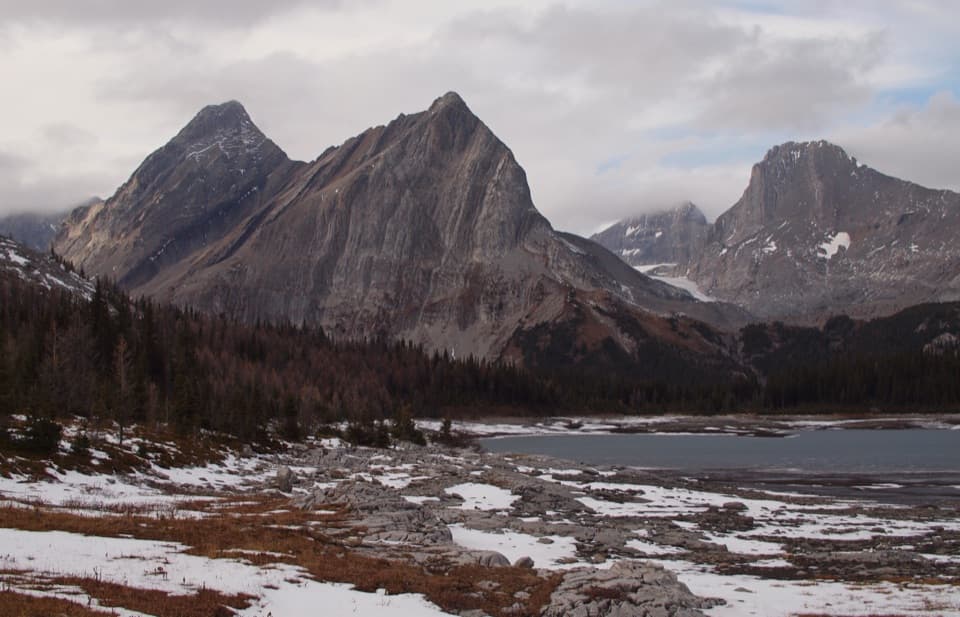 ChallengingGreat Divide Trail: Elk Pass to North Kananaskis Pass22.1 km · 10 hr · 1.8 km awayA long lakeshore approach climbs through Turbine Canyon to a high pass.
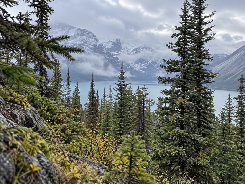 ChallengingBlueberry Hill Trail6.9 km · 3 hr · 1.8 km awayA steep snowshoe climb to views over two mountain lakes.
 ModerateElk Pass Trail11.2 km · 3.5 hr · 1.8 km awayA gradual old road climbs to a meadow at West Elk Pass.
 ModerateElk Pass Snowshoe Trail11.6 km · 3.5 hr · 1.8 km awayA winter snowshoe route from Elk Pass Day Use to the pass.
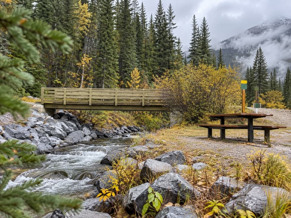 Picnic area · At the trailheadBoulton Bridge Day Use AreaA creekside picnic stop with an almost 5 km trail nearby
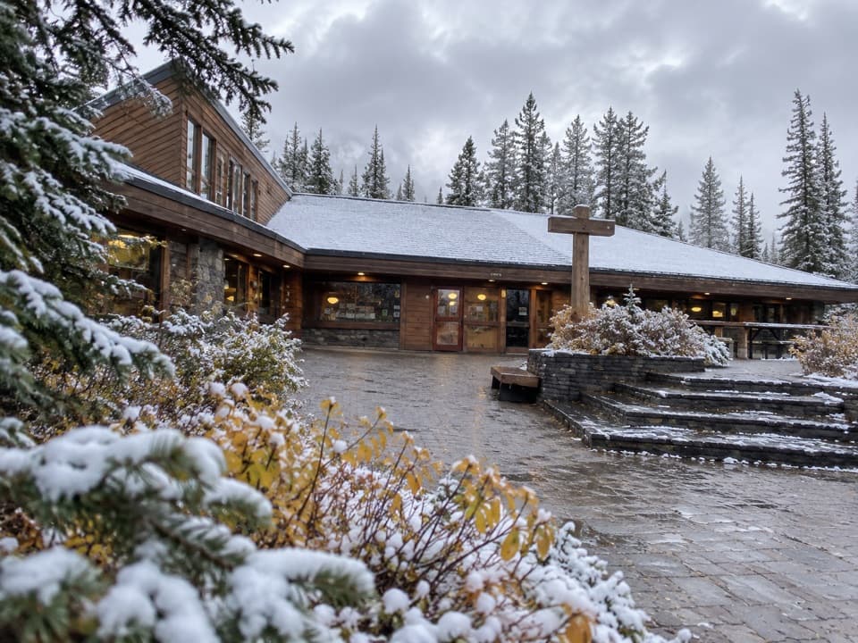 Store · 0.2 km awayBoulton Creek Trading PostGroceries, campground basics, rentals and ice cream in one stop.
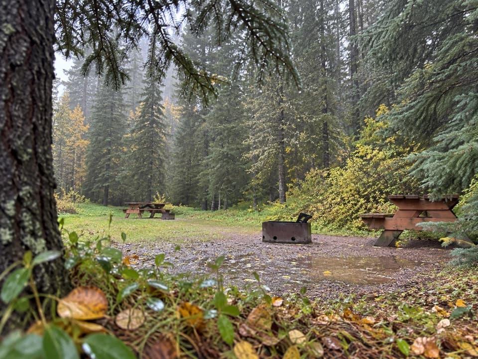 Campground · 0.5 km awayBoulton Creek CampgroundA wooded base camp with walk-in tents and full RV hookups.
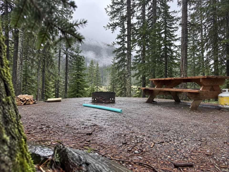 Campground · 0.8 km awayLower Lake CampgroundWooded camping near the lakes; check water and site details.
 Campground · 0.8 km awayLower Lake Group CampgroundA shared shelter and room for up to 15 camping units.
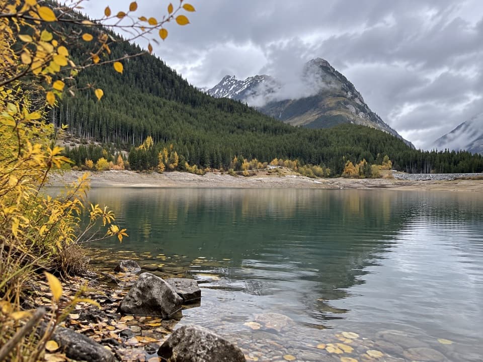 Picnic area · 0.9 km awayLower Lake Day Use AreaA winter picnic with mountain views across Lower Kananaskis Lake.
 Campground · 1.7 km awayInterlakes CampgroundAn unserviced campground with a hand launch on Lower Kananaskis Lake.
 Campground · 1.9 km awayMount Sarrail Walk-in Tenting CampgroundA 44-site, tent-only camp near Kananaskis Lakes.
Parkwolf’s Peter Lougheed ranking

The audio tour guide for the drive, plus offline maps, trails, and wildlife heatmaps for when the signal drops.





