Best time to go
Pit/vault toilets are available at the day-use area. No food service is listed. The posted season is June 15 through November 30, making this a summer-to-fall stop.
Sight · Peter Lougheed Provincial Park
A roadside pause for Highwood Pass scenery and Pocaterra Ridge access.
Overview
Map
Plan your stop

The highest, rockiest slopes around here are a summer buffet for grizzly bears.
Peter Lougheed Tour Guide
Parkwolf is a GPS audio tour guide for Peter Lougheed Provincial Park. As you drive, it chimes in with what’s ahead: hidden gems, upcoming stops, history, geology, and wildlife, right through your car’s speakers.
See the Peter Lougheed audio tourRecorded for this place
Little Highwood: Mount Roberta and Ridge Access“Up ahead is Little Highwood Pass Day Use Area, where you can pause for a view of Mount Roberta across the highway. It's a separate stop from the Highwood Pass summit.”
Plays as you drive up to Little Highwood Pass Day Use Area in the Parkwolf Peter Lougheed Tour Guide.
More stories near here in the app
“Fantastic app with many points of information… It’s great to just turn on while you’re driving and it gives you an audio tour of the national Park. We love it!!!!”


Guide
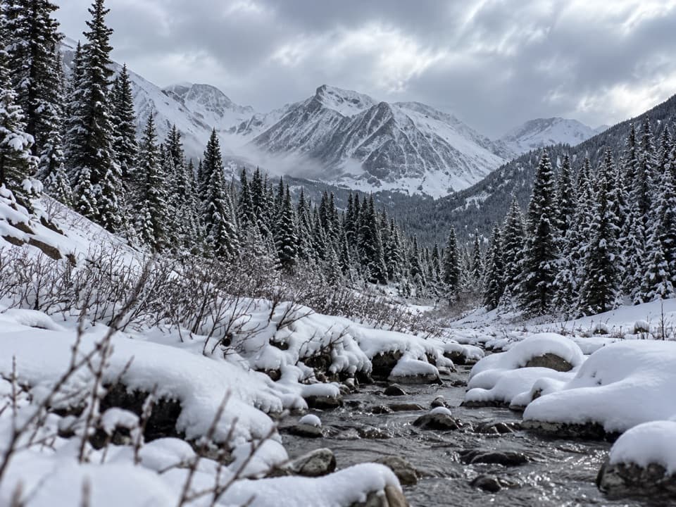
Little Highwood Pass Day Use Area is a roadside stop on Highwood Pass Road, across from Mount Roberta. It is a place to get out for the mountain scenery and to reach Pocaterra Ridge. This is separate from the Highwood Pass summit farther southeast.
For the roadside view, look across the highway toward Mount Roberta. The managing agency describes the scenery stop here; no designated lookout walk is documented.
Wildlife
 132 sightingsGrizzly BearMost seen around 8 PMSighting map
 17 sightingsCanada LynxMost seen around 8 PMSighting map
 30 sightingsBlack BearMost seen around 6 AMSighting map
 69 sightingsMooseMost seen around 5 PMSighting map
 176 sightingsBighorn SheepMost seen around 6 PMSighting map
 19 sightingsBald EagleMost seen around 8 AMSighting map
Sighting maps show where each species has been reported across Peter Lougheed. Wildlife moves, so no sighting is guaranteed.
Keep exploring
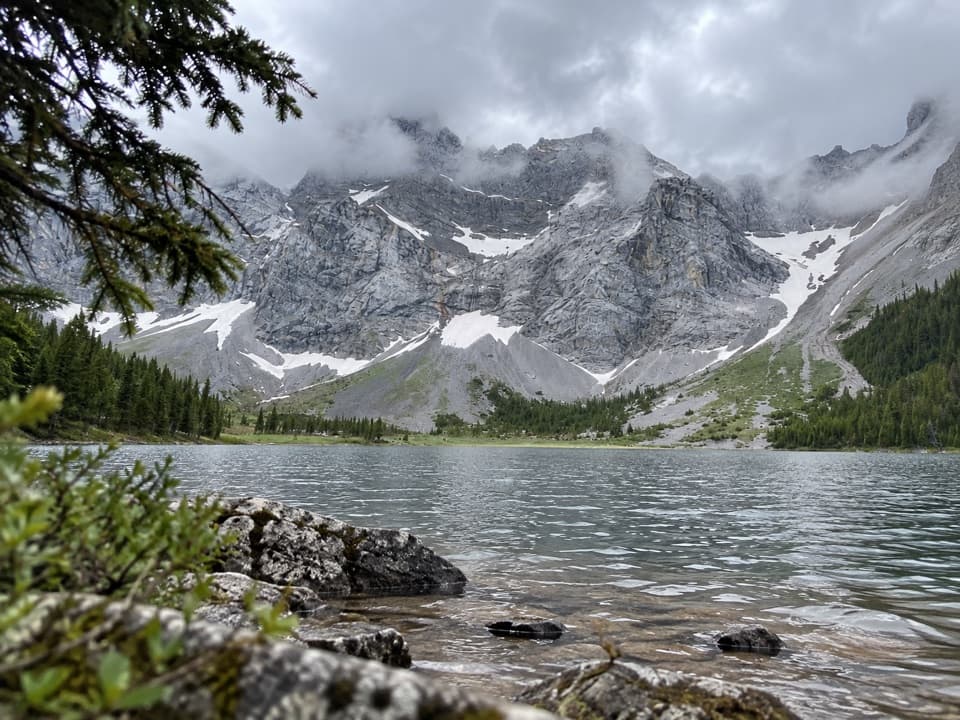 ModerateRae Lake Trail17.2 km · 6 hr · 1.5 km awayA long, unsigned branch to a lake beneath Mount Rae.
 ModerateEdworthy Falls via Elbow Lake Trail9.7 km · 3.5 hr · 1.5 km awayElbow Lake first, then a gentler valley walk to Edworthy Falls.
 EasyElbow Lake Trail2.8 km · 1.5 hr · 1.5 km awayA steep old road climbs to an alpine lake.
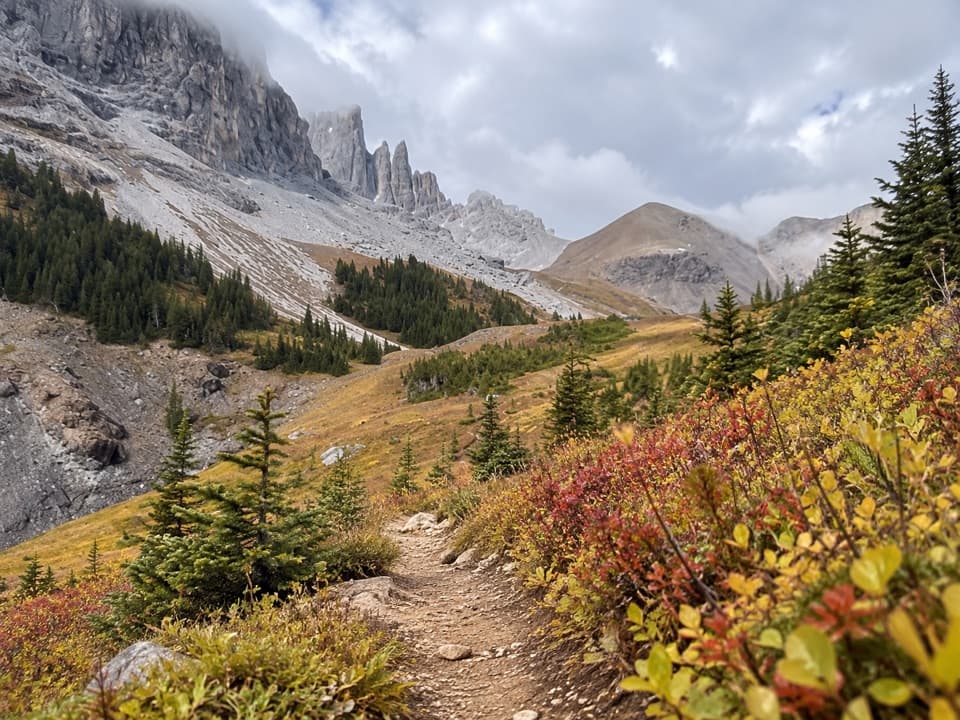 ChallengingPiper Pass Trail20.6 km · 8 hr · 1.5 km awayA long climb from Elbow Lake to an exposed alpine pass.
 ChallengingRae Glacier Trail9.1 km · 4 hr · 1.5 km awayA rugged, unsigned climb to Rae Glacier’s rocky basin.
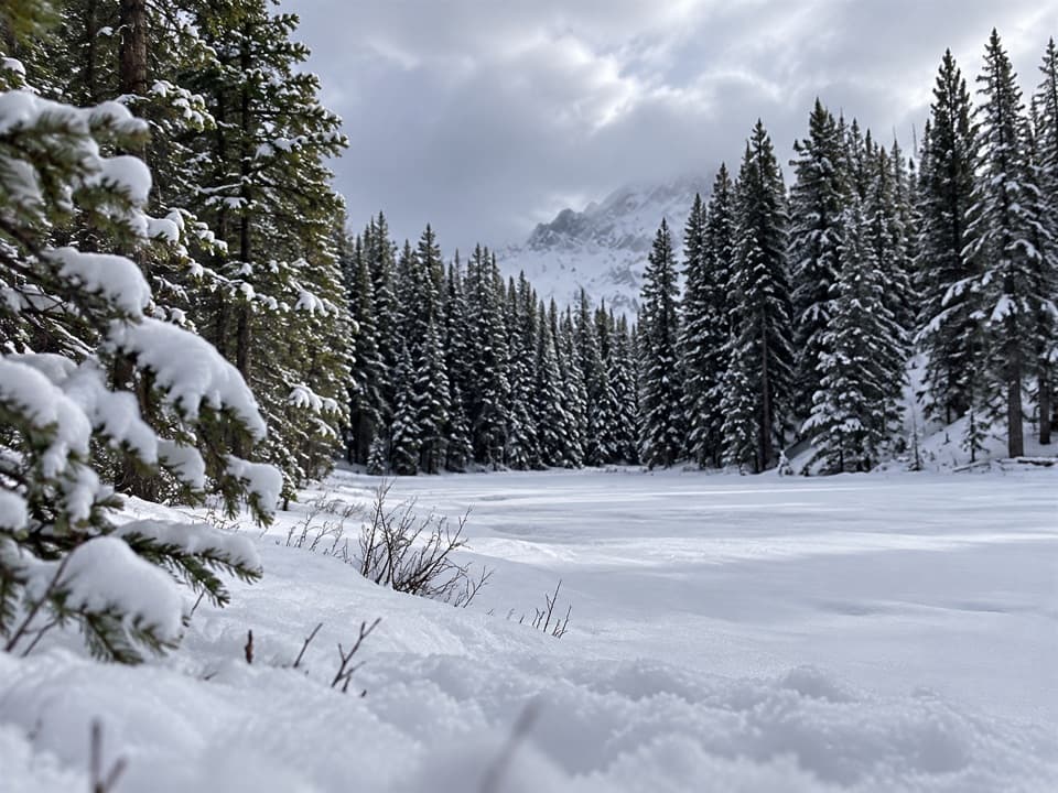 ModerateFrozen Toad Loop Snowshoe Trail8.1 km · 2.3 hr · 4.5 km awaySnowshoe through forest, frozen wetlands, and along Marl Lake.
 ModerateLookout Trail12.1 km · 4.5 hr · 4.8 km awayA forest approach reaches a steep climb and panoramic fire lookout.
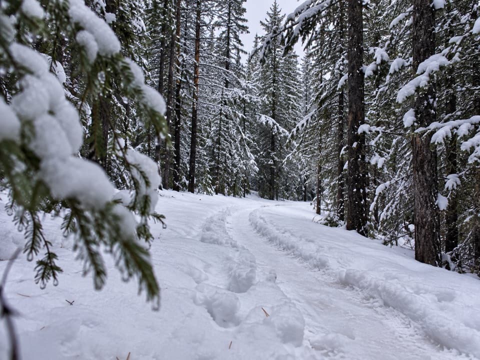 EasyTorpor Loop6.1 km · 2 hr · 4.8 km awayA winter loop linking mountain views, a lakeside path and camp loops.
 Campground · 2.3 km awayElbow Lake Backcountry CampgroundA short uphill carry opens onto a lakeside backcountry camp.Sight · 2.3 km awayElbow LakeA short, steep climb opens onto an emerald alpine lake.
 Sight · 4 km awayRock Glacier Day Use AreaA short stop for a rockslide, alpine views, and pikas.
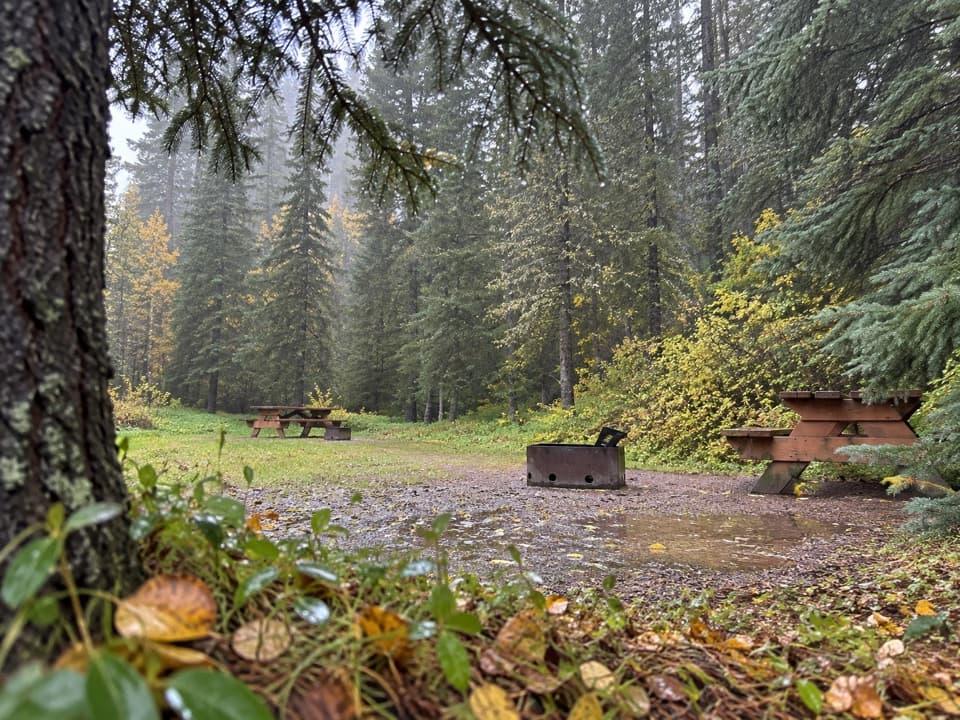 Campground · 4.3 km awayBoulton Creek CampgroundA wooded base camp with walk-in tents and full RV hookups.
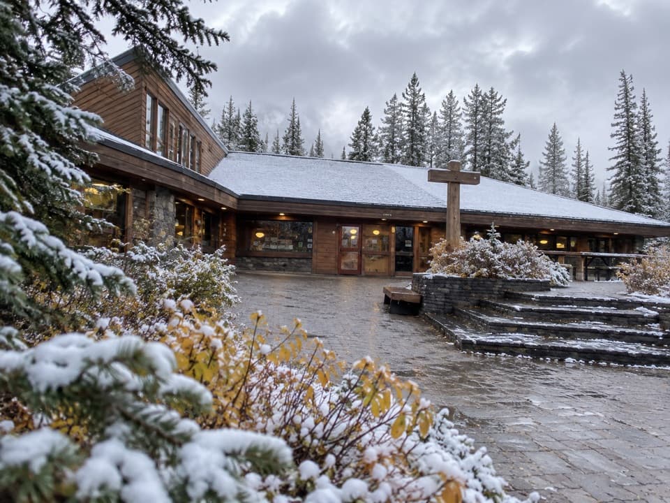 Store · 4.8 km awayBoulton Creek Trading PostGroceries, campground basics, rentals and ice cream in one stop.
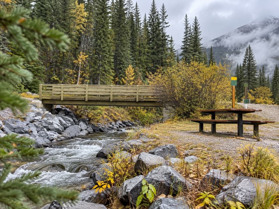 Picnic area · 4.9 km awayBoulton Bridge Day Use AreaA creekside picnic stop with an almost 5 km trail nearby
 Campground · 5.4 km awayLower Lake Group CampgroundA shared shelter and room for up to 15 camping units.
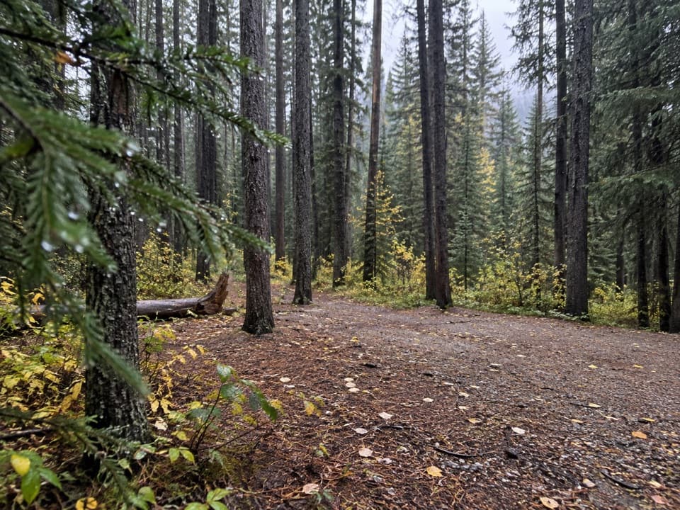 Campground · 5.5 km awayElkwood CampgroundA wooded campground with 126 sites for tents and RVs.
Parkwolf’s Peter Lougheed ranking

The audio tour guide for the drive, plus offline maps, trails, and wildlife heatmaps for when the signal drops.