Parking
Use the Elbow Pass Day-use Area on Highway 40, the same trailhead as Elbow Lake. The lot can fill on busy weekends. A Kananaskis Conservation Pass is required for parked vehicles.
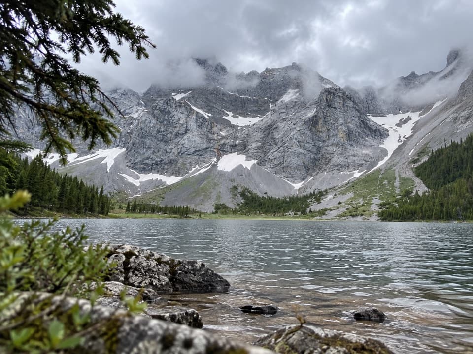
Peter Lougheed Provincial Park, AB
A long, unsigned branch to a lake beneath Mount Rae.
Overview
Rae Lake Trail is a 17.2 km (10.7 mi) out-and-back from Elbow Pass Day-use Area, following the Elbow Lake approach before an unsigned branch reaches Rae Lake below Mount Rae. Plan for 5 to 7 hours and about 432 m of cumulative climbing. It is a long, moderate day; I’d choose it when Rae Lake is the goal and you’re comfortable watching for cairns. Elbow Lake is the much shorter walk from the same trailhead.
 Parkwolf’s verdictIs this the hike for you?
Map & elevation
Plan your hike

The highest, rockiest slopes around here are a summer buffet for grizzly bears.
Peter Lougheed Tour Guide
Parkwolf is a GPS audio tour guide for Peter Lougheed Provincial Park. As you drive, it chimes in with what’s ahead: hidden gems, upcoming stops, history, geology, and wildlife, right through your car’s speakers.
See the Peter Lougheed audio tourRecorded for this trailhead
Elbow Lake: A Short, Steep Lake Hike“You're nearing Elbow Pass Day Use Area, the starting point for a short, steep hike to Elbow Lake.”
Plays as you drive up to this trailhead in the Parkwolf Peter Lougheed Tour Guide.
More stories near here in the app
“Fantastic app with many points of information… It’s great to just turn on while you’re driving and it gives you an audio tour of the national Park. We love it!!!!”


Trail guide
Follow the trail along Elbow Lake’s west shore, cross a small creeklet on a log, then stay left onto a road that climbs into a meadow. Mountain bikes use this section too. About 4.3 km from the start, a view opens over Piper Creek Canyon. Stones mark a short optional side trip to Edworthy Falls.
Roughly a kilometre beyond the canyon view, you’ll reach cairns for Piper Pass. The Rae Lake cairn is about 50 paces farther on the right as you head northeast. That turn is unsigned; once you’re on the boot-beaten branch, the path is described as clear. Missing the cairn is the main route-finding risk.
Rae Lake sits below the north end of Mount Rae, east of Tombstone Pass. Larches grow near the lake and turn color in fall. The route starts at the Elbow Lake trailhead and continues into adjoining Elbow-Sheep Wildland Provincial Park, so expect a less formal route than a signed day-use walk.
Use the Elbow Pass Day-use Area on Highway 40, the same access as Elbow Lake. The parking lot can fill on busy weekends. A Kananaskis Conservation Pass is required for vehicles parked here, and pets must stay leashed to no more than 2 m. Highway 40 closes seasonally; check current road access before setting out.
Wildlife
 132 sightingsGrizzly BearMost seen around 8 PMSighting map
 17 sightingsCanada LynxMost seen around 8 PMSighting map
 30 sightingsBlack BearMost seen around 6 AMSighting map
 69 sightingsMooseMost seen around 5 PMSighting map
 176 sightingsBighorn SheepMost seen around 6 PMSighting map
 19 sightingsBald EagleMost seen around 8 AMSighting map
Sighting maps show where each species has been reported across Peter Lougheed. Wildlife moves, so no sighting is guaranteed.
Keep exploring
 ModerateEdworthy Falls via Elbow Lake Trail9.7 km · 3.5 hr · At the trailheadElbow Lake first, then a gentler valley walk to Edworthy Falls.
 EasyElbow Lake Trail2.8 km · 1.5 hr · 0.1 km awayA steep old road climbs to an alpine lake.
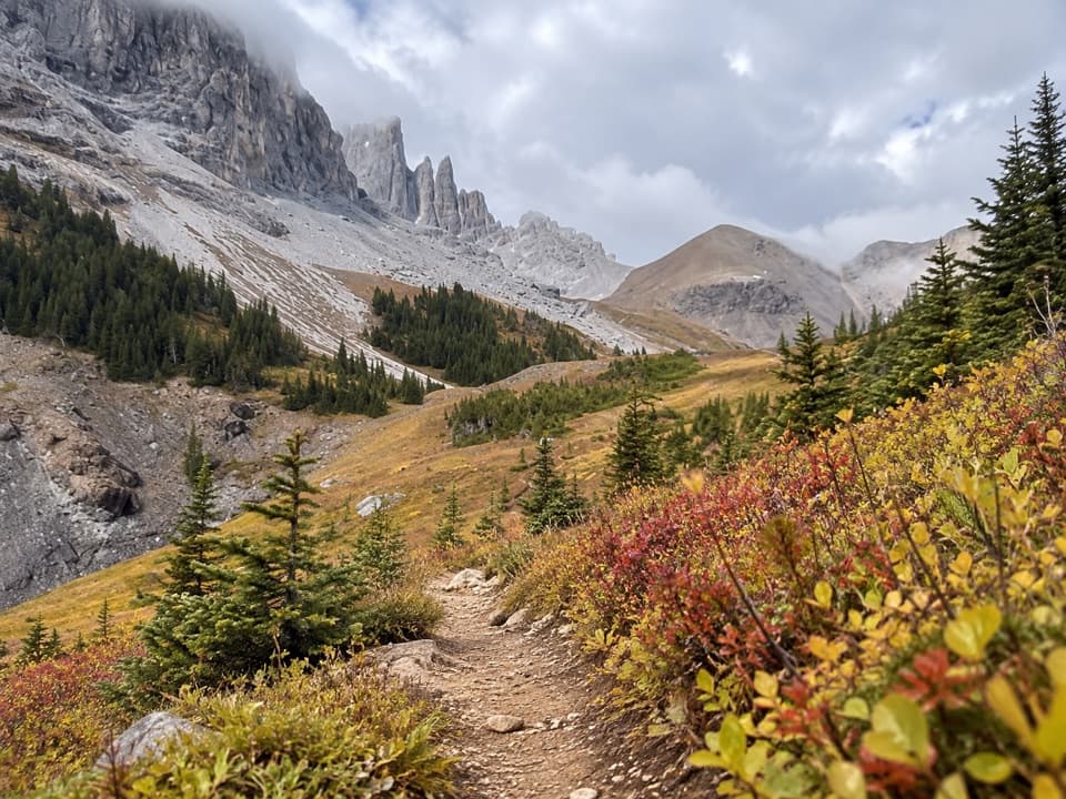 ChallengingPiper Pass Trail20.6 km · 8 hr · 0.1 km awayA long climb from Elbow Lake to an exposed alpine pass.
 ChallengingRae Glacier Trail9.1 km · 4 hr · 0.1 km awayA rugged, unsigned climb to Rae Glacier’s rocky basin.
 ChallengingHighwood Ridge Trail12.5 km · 4.5 hr · 5.1 km awayA steep scramble across two peaks above Highwood Pass.
 EasyHighwood Meadows Trail1.2 km · 30 min · 5.1 km awayA barrier-free boardwalk through a fragile alpine meadow at 2,200 m.
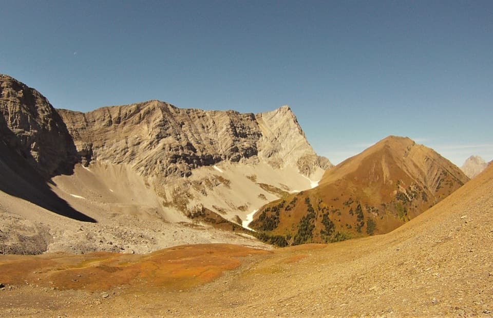 ModerateGrizzly Col Trail9 km · 4 hr · 5.1 km awayA rugged climb through Pocaterra Cirque to the saddle below Grizzly Ridge
 ModerateLittle Highwood Pass Trail9 km · 4 hr · 5.2 km awayA tarn breaks up the climb to a pass above the cirques.
 Campground · 1 km awayElbow Lake Backcountry CampgroundA short uphill carry opens onto a lakeside backcountry camp.Sight · 1.2 km awayElbow LakeA short, steep climb opens onto an emerald alpine lake.
 Sight · 1.5 km awayLittle Highwood Pass Day Use AreaA roadside pause for Highwood Pass scenery and Pocaterra Ridge access.
 Sight · 2.7 km awayRock Glacier Day Use AreaA short stop for a rockslide, alpine views, and pikas.Sight · 5.2 km awayHighwood Pass Day UseAlpine meadow and jagged peaks, reached on a 1.2 km boardwalk.
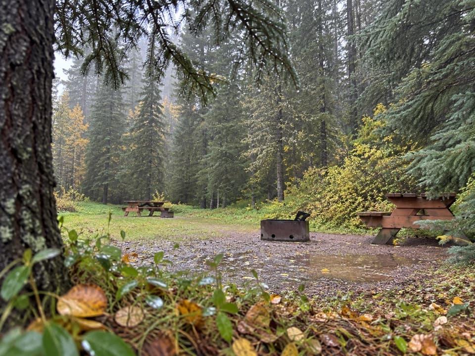 Campground · 5.4 km awayBoulton Creek CampgroundA wooded base camp with walk-in tents and full RV hookups.
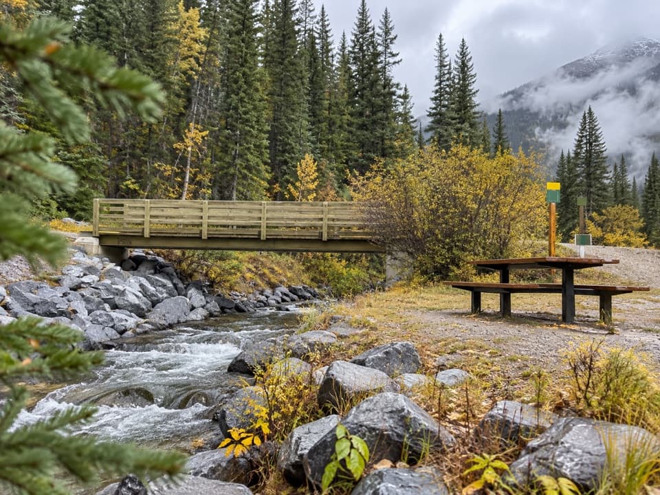 Picnic area · 6 km awayBoulton Bridge Day Use AreaA creekside picnic stop with an almost 5 km trail nearby
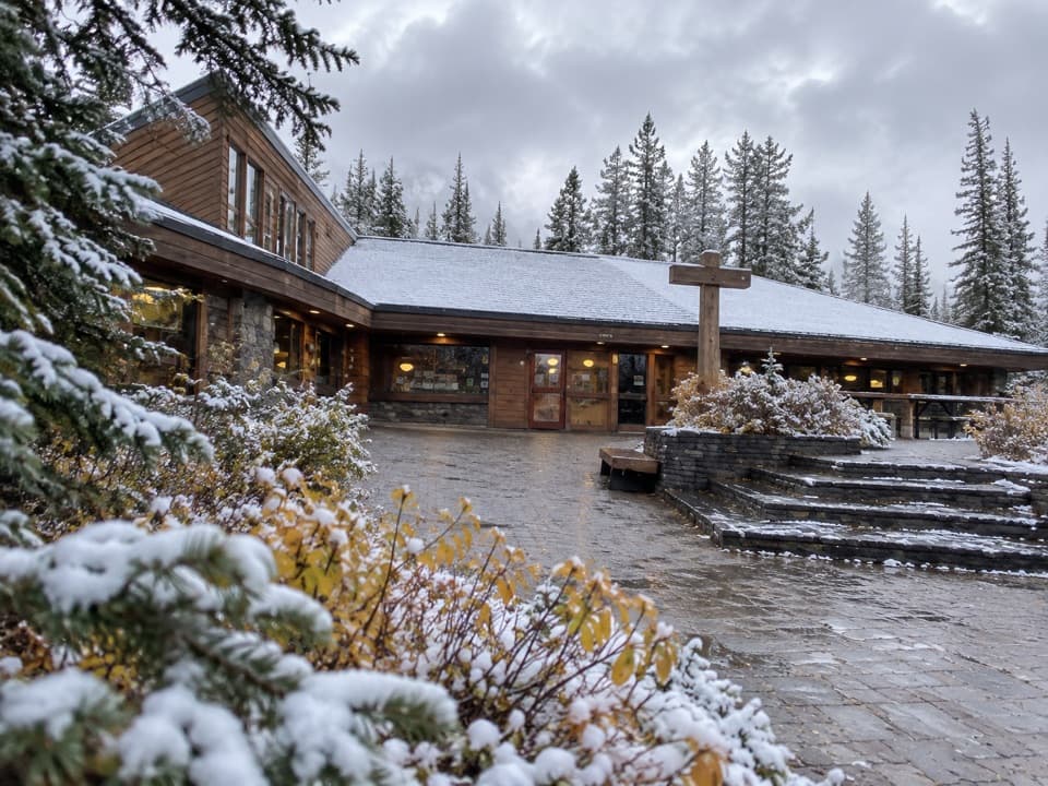 Store · 6 km awayBoulton Creek Trading PostGroceries, campground basics, rentals and ice cream in one stop.
Parkwolf’s Peter Lougheed ranking
The audio tour guide for the drive, plus offline maps, trails, and wildlife heatmaps for when the signal drops.





