Piper Pass Trail in Peter Lougheed Provincial Park

Peter Lougheed Provincial Park, AB

Piper Pass Trail

A long climb from Elbow Lake to an exposed alpine pass.

Length
20.6km
Time
8hr
Elev. change
556m
Difficulty
Challenging
  • Dogs allowed
  • High point 2,522 m
  • #22 of 66 in Peter Lougheed

Hear the audio tour

Elbow Lake: A Short, Steep Lake Hike

Overview

About Piper Pass Trail

Why go

  • Elbow Lake, creek valleys and alpine meadow make a varied full-day walk
  • The pass opens to a broad view down West Fork Little Elbow Valley

Heads up

  • An unbridged river ford and several rough creek crossings
  • Informal cairned route, faint meadow tread and loose final slope
Piper Pass is a demanding 12.8-mile (20.5-kilometre) out-and-back from Elbow Pass Day Use Area. The route climbs past Elbow Lake and follows the Big Elbow approach before a cairned branch heads up Piper Creek to an alpine pass. The map shows the corridor once; 12.8 miles is the full return trip. Plan on about eight hours and roughly 650 metres (2,130 feet) of cumulative climbing. This is a full-day outing for hikers comfortable with long distances, rough backcountry tread and finding their way without a maintained trail.
Parkwolf’s verdictIs this the hike for you?

Map & elevation

The route

Loading the Peter Lougheed map
Full map
Elevation1,966–2,522 m
TrailheadElbow Pass Day Use Area50.63512, -115.02286
Keep this map with you offline in the Parkwolf app

Plan your hike

Before you go

Parking

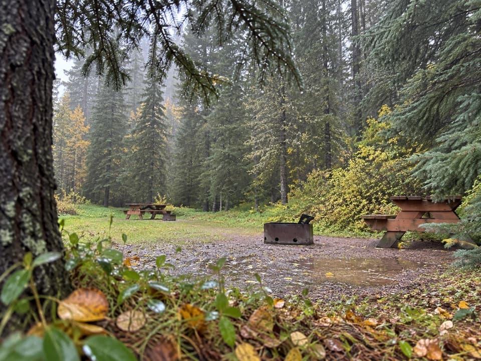
Start at Elbow Pass Day Use Area off Highway 40. Use its signed day-use lot; separate signed lots serve equestrian use and backpacking. A Kananaskis Conservation Pass is required for parking. The day-use area is seasonal, June 15 through November 30.

Safety

The informal, cairned branch has no confirmed official trail designation or formal access status. It includes an unbridged Elbow River ford, smaller creek crossings, faint meadow tread, a steep loose scree slope and an exposed pass. Confirm access and crossing conditions before departure.

4 active Peter Lougheed alerts

  • ClosureTrail closures and Three Isle detourThree trail sections remain closed; stay out of closed areas and follow the signed Three Isle detour to reach the open backcountry campgrounds.Official details
  • CautionBear activity near Elpoca and ValleyviewFrequent bear activity has been noted along Valleyview Road from Elpoca Day Use Area south to Highway 40, near Little Highwood Pass and Valleyview Day Use Areas; use bear precautions.Official details
See all 4 alerts
A park ranger sits on a dash-mounted phone, talking, as Parkwolf’s Tour Guide plays “Army Cutworm Moths: A Grizzly Bear Buffet” on Grand Loop Road below Dunraven Pass in Yellowstone
Parkwolf Tour GuideThe highest, rockiest slopes around here are a summer buffet for grizzly bears.

Peter Lougheed Tour Guide

Your drive to Piper Pass Trail, narrated.

Parkwolf is a GPS audio tour guide for Peter Lougheed Provincial Park. As you drive, it chimes in with what’s ahead: hidden gems, upcoming stops, history, geology, and wildlife, right through your car’s speakers.

See the Peter Lougheed audio tour

Recorded for this trailhead

Elbow Lake: A Short, Steep Lake Hike
0:00 / 0:24
“You're nearing Elbow Pass Day Use Area, the starting point for a short, steep hike to Elbow Lake.”

Plays as you drive up to this trailhead in the Parkwolf Peter Lougheed Tour Guide.

More stories near here in the app

  • Little Highwood: Mount Roberta and Ridge Access
  • Rock Glacier: A Short Walk and Pikas
  • Follow a Fold in the Rock
  • Highwood Pass and the Meadow Walk
  • 41 audio storiesacross Peter Lougheed’s roads, triggered by GPS as you drive
  • Wildlife heatmapsfor Grizzly Bear, Canada Lynx, Black Bear, and 13 more
  • Works offlinemaps, 66 trails, 41 places, and audio download before you lose signal
  • CarPlay readysimple controls built for the drive
★★★★★
“Fantastic app with many points of information… It’s great to just turn on while you’re driving and it gives you an audio tour of the national Park. We love it!!!!”
JMJamesApp Store review
Download Parkwolf on the App StoreGet Parkwolf on Google Play

4.7 from 8,600+ ratings

Trail guide

Hiking Piper Pass Trail

Before you startThe day-use area is seasonal, listed for June 15 through November 30; that window does not mean…

The day-use area is seasonal, listed for June 15 through November 30; that window does not mean the high pass is snow-free. A Kananaskis Conservation Pass is required for parking. Use the signed day-use lot, not the separate equestrian or backpacking lots. The site is listed without amenities. An outhouse has been mentioned, but its availability is unconfirmed, so plan as if there is no toilet. There is no food or potable water on the route; carry enough water and treat any natural source. Dogs are allowed, but the leash must be no longer than 2 metres.

Finding the Piper branchThe route begins with a steep, broad old road or path, gaining about 120 metres on the climb to…

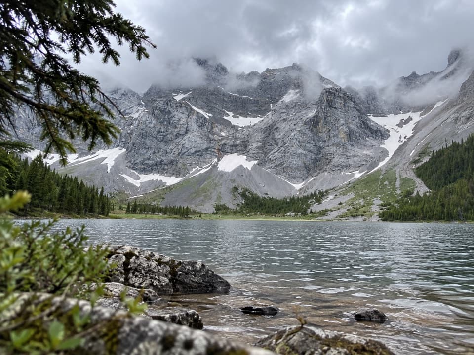
The route begins with a steep, broad old road or path, gaining about 120 metres on the climb to Elbow Lake. Follow the west shore, cross the lake outlet on a small bridge, then continue on the broad Big Elbow trail. At the cairned junctions, other paths lead toward Edworthy Falls and Rae Lake as well as Piper Pass. Accounts disagree about exactly how far the Piper turn lies beyond the falls spur, and the paths braid around this area. Use a route track and identify each cairn; mileage alone is an unreliable way to find the turn.

Crossings and creek countryThe Piper branch drops through trees to an unbridged Elbow River ford.

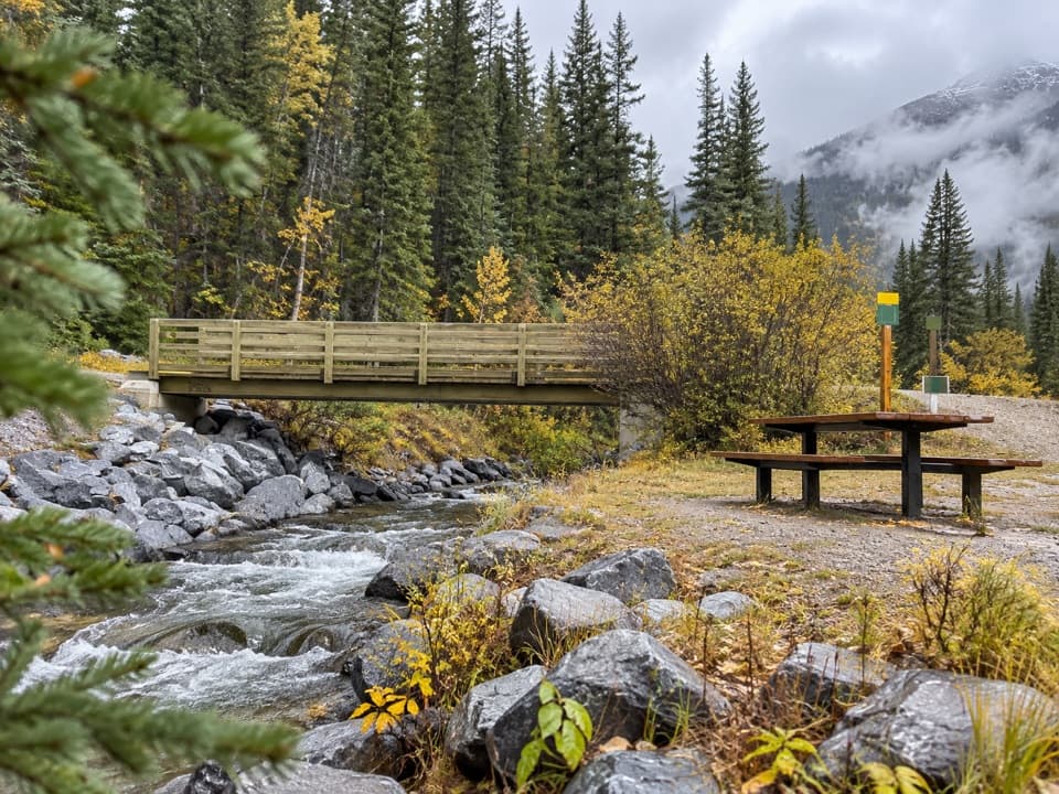
The Piper branch drops through trees to an unbridged Elbow River ford. Its depth and width change with conditions, and it may not be safe to cross; do not count on stepping stones or on a log being usable. About 600 metres later, a rough log crosses Piper Creek, followed by several smaller stream crossings. Reports differ on the number, so expect wet feet and take time to choose each crossing. Beyond the creek, the route spends a long stretch in forest. You can hear water in the canyon, but the waterfalls are mostly hidden by trees.

The meadow and passThe forest eventually opens into a broad alpine meadow.

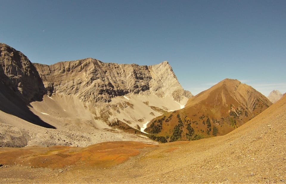
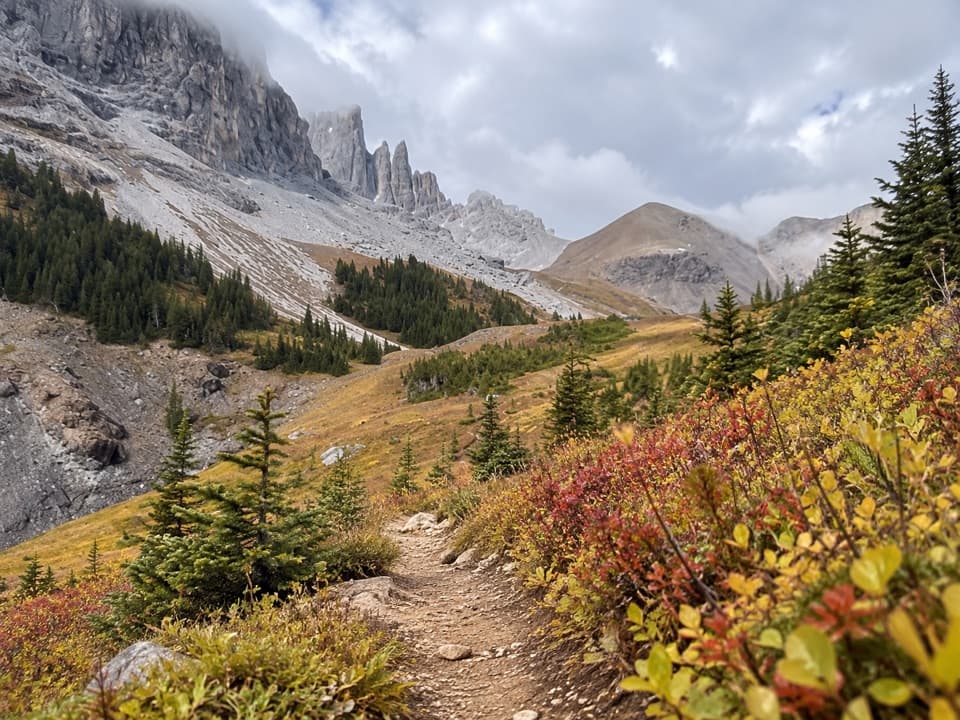
The forest eventually opens into a broad alpine meadow. The tread becomes faint and can vanish in snow, so keep watching for cairns rather than assuming the path will remain obvious. A large boulder is a useful decision point before the final steep climb over loose scree and possible snow. The pass itself is exposed and often windy; remember that the return is the same long route back. From the notch, the view opens down the West Fork Little Elbow Valley toward peaks including Elpoca Mountain and Mount Rae. For a photo, keep the trail in the foreground with the pale walls behind it.

Flowers and the Elbow RiverThe forest and meadow have recorded glacier lilies, shooting stars, paintbrush and pussytoes,…

The forest and meadow have recorded glacier lilies, shooting stars, paintbrush and pussytoes, but bloom timing and abundance vary from year to year. Richardson ground squirrels have been seen in the meadow, though wildlife is never guaranteed. At the start of the walk, the Elbow Lake outlet becomes the Elbow River; its water continues downstream toward the Bow River at Calgary.

Is this the hike for you?The mapped corridor measures 20.5 km round trip, close to other GPS route figures of 20.4–20.

The mapped corridor measures 20.5 km round trip, close to other GPS route figures of 20.4–20.6 km. Some recorded outings cover 22–24 km, likely because of track differences or detours, so allow extra time for junctions and crossings. The Elbow Pass trailhead and first approach are in Peter Lougheed Provincial Park, but the route crosses into Elbow-Sheep Wildland Provincial Park. The Piper branch is informal and cairned, not an Alberta Parks designated or maintained trail; its formal access status was not established. Confirm access before setting out.

Wildlife

Wildlife in Peter Lougheed

All Peter Lougheed wildlife maps

Sighting maps show where each species has been reported across Peter Lougheed. Wildlife moves, so no sighting is guaranteed.

Keep exploring

Near Piper Pass Trail

See it all on the map

Trails that start nearby

Places near the trailhead

Parkwolf’s Peter Lougheed ranking

Top-rated trails in Peter Lougheed

All 66 trails
  1. 1Rawson Lake TrailModerate · 7.8 km
  2. 2Ptarmigan Cirque Interpretive TrailModerate · 4.5 km
  3. 3Burstall Pass TrailChallenging · 14.8 km
  4. 4Chester Lake TrailModerate · 9.2 km
  5. 5Upper Kananaskis Lake LoopModerate · 15.7 km
  6. 6Sarrail Ridge via Rawson LakeChallenging · 11.7 km

Take Parkwolf to Peter Lougheed.

The audio tour guide for the drive, plus offline maps, trails, and wildlife heatmaps for when the signal drops.

4.7 from 8,600+ ratings

Download Parkwolf on the App StoreGet Parkwolf on Google Play