Blacksmith Ridge Trail via Smith-Dorrien Creek in Peter Lougheed Provincial Park

Peter Lougheed Provincial Park, AB

Blacksmith Ridge Trail via Smith-Dorrien Creek

A steep climb with a hidden fork and an open ridge.

Length
6.8km
Time
4hr
Elev. change
580m
Difficulty
Challenging
  • High point 2,324 m

Hear the audio tour

The Woodpecker That Peels Bark

Overview

About Blacksmith Ridge Trail via Smith-Dorrien Creek

Why go

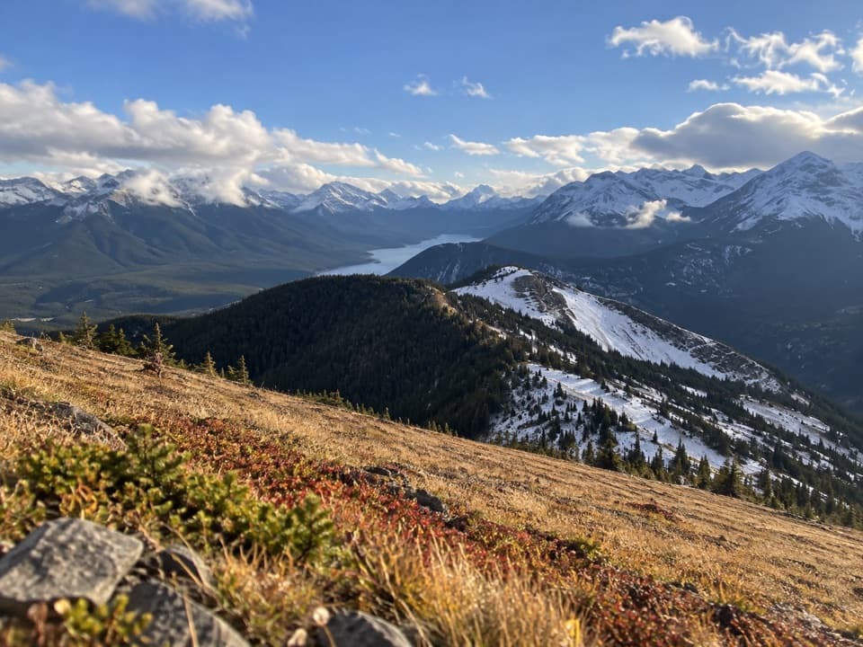
  • The open ridge gives views toward the Opal Range and Highwood area.
  • A compact, demanding outing for hikers comfortable navigating off signed trails.

Heads up

  • The lower fork is hard to spot, and the route is unmaintained.
  • Current legal parking at the recorded access could not be confirmed.

Map & elevation

The route

Loading the Peter Lougheed map
Full map
Elevation1,744–2,324 m
TrailheadSmith-Dorrien Creek roadside access50.71704, -115.20932
Keep this map with you offline in the Parkwolf app

Plan your hike

Before you go

Parking

Use the Smith-Dorrien Creek roadside access along the Smith-Dorrien/Spray Lakes Trail, the start for this southeast route. The exact present-day lot or legal parking spot is not confirmed. The separate Black Prince Day Use Area is elsewhere and is not this trailhead.

Safety

This is an unmaintained route. A faint fork in dense forest is easy to miss, and the approach climbs steeply with sidehill sections before reaching an exposed ridge. Turn around at the documented rise before the steep rocks unless you are prepared for scrambling. Current legal parking is not confirmed.

4 active Peter Lougheed alerts

  • ClosureTrail closures and Three Isle detourThree trail sections remain closed; stay out of closed areas and follow the signed Three Isle detour to reach the open backcountry campgrounds.Official details
  • CautionBear activity near Elpoca and ValleyviewFrequent bear activity has been noted along Valleyview Road from Elpoca Day Use Area south to Highway 40, near Little Highwood Pass and Valleyview Day Use Areas; use bear precautions.Official details
See all 4 alerts
A park ranger sits on a dash-mounted phone, talking, as Parkwolf’s Tour Guide plays “Army Cutworm Moths: A Grizzly Bear Buffet” on Grand Loop Road below Dunraven Pass in Yellowstone
Parkwolf Tour GuideThe highest, rockiest slopes around here are a summer buffet for grizzly bears.

Peter Lougheed Tour Guide

Your drive to Blacksmith Ridge Trail via Smith-Dorrien Creek, narrated.

Parkwolf is a GPS audio tour guide for Peter Lougheed Provincial Park. As you drive, it chimes in with what’s ahead: hidden gems, upcoming stops, history, geology, and wildlife, right through your car’s speakers.

See the Peter Lougheed audio tour

Recorded for this area

The Woodpecker That Peels Bark
0:00 / 0:27
“On a forest walk, check dead and dying conifers for patches of missing bark. An American three-toed woodpecker may have been feeding there.”

Plays on the road 0.1 km from the trailhead in the Parkwolf Peter Lougheed Tour Guide.

More stories near here in the app

  • Black Prince Day Use: A Picnic Break
  • The Pine That Waits for Fire
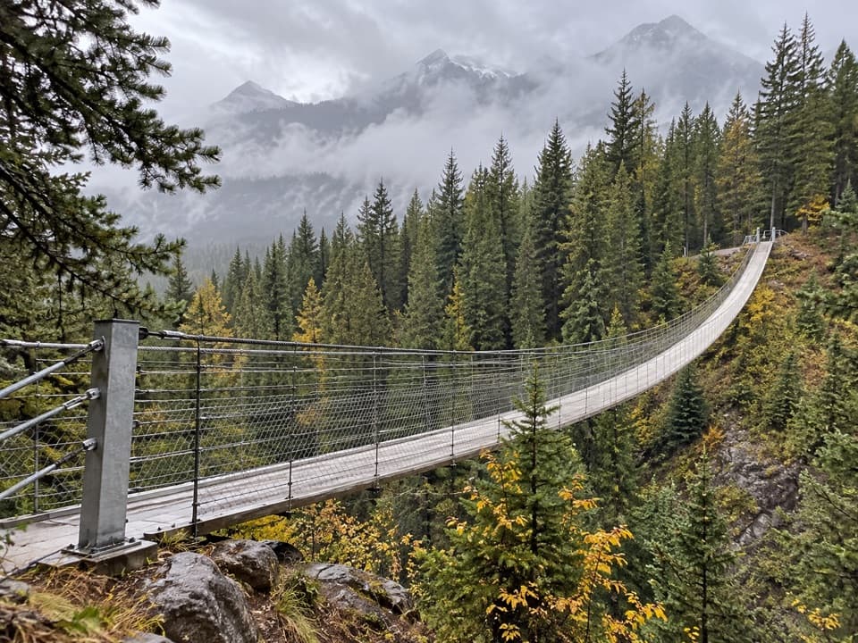
  • Blackshale Bridge: The Forest Crossing
  • Sawmill: Picnic Views and Ski Roots
  • 41 audio storiesacross Peter Lougheed’s roads, triggered by GPS as you drive
  • Wildlife heatmapsfor Grizzly Bear, Canada Lynx, Black Bear, and 13 more
  • Works offlinemaps, 66 trails, 41 places, and audio download before you lose signal
  • CarPlay readysimple controls built for the drive
★★★★★
“Fantastic app with many points of information… It’s great to just turn on while you’re driving and it gives you an audio tour of the national Park. We love it!!!!”
JMJamesApp Store review
Download Parkwolf on the App StoreGet Parkwolf on Google Play

4.7 from 8,600+ ratings

Trail guide

Hiking Blacksmith Ridge Trail via Smith-Dorrien Creek

Before you goBlacksmith Ridge Trail via Smith-Dorrien Creek is a 4.

Blacksmith Ridge Trail via Smith-Dorrien Creek is a 4.2-mile out-and-back, climbing from a roadside access beside Smith-Dorrien Creek to an open ridge. Allow about four hours and roughly 2,100 feet of ascent. It is an informal, unmaintained route for hikers comfortable with steep climbs and navigation off signed trails.

The route begins near the Smith-Dorrien/Spray Lakes Trail. Current legal parking and access signage were not confirmed, so verify the exact roadside access before setting out. Do not use the separate Black Prince Day Use Area as the trailhead. Water and toilets at the start have not been confirmed.

Finding the ridgeThe lower approach enters dense forest and follows a drainage north to a faint fork.

The lower approach enters dense forest and follows a drainage north to a faint fork. The fork is hard to see, and taking the wrong branch can put you well off course. From there, the route climbs the ridge between the drainages, with steep, sometimes sidehill travel. Carry an offline track and be ready to turn around if the terrain stops matching it.

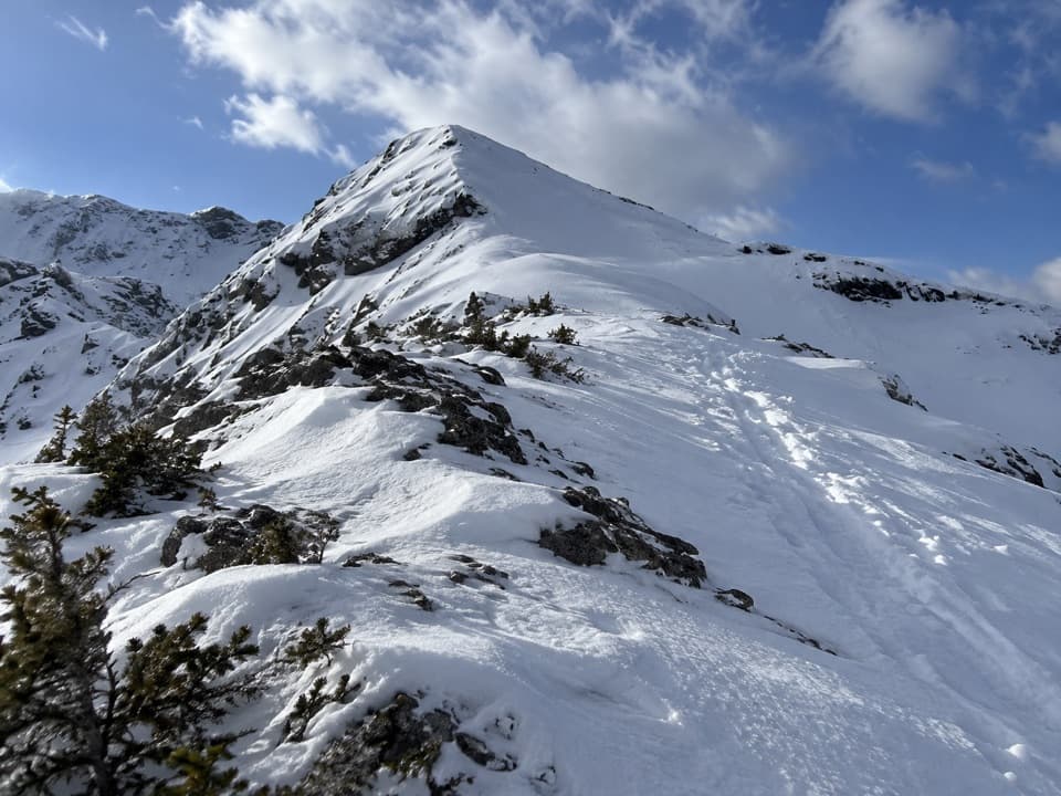
On the open slopeThe forest begins to thin into open slopes, then the route climbs the exposed southeast ridge.

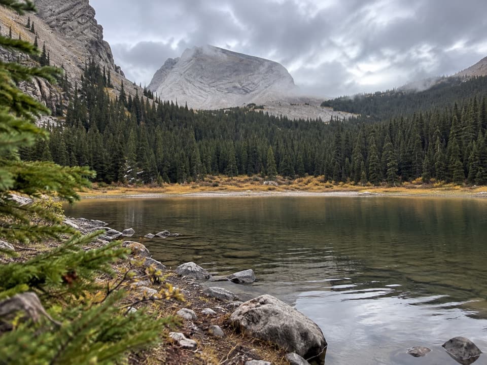
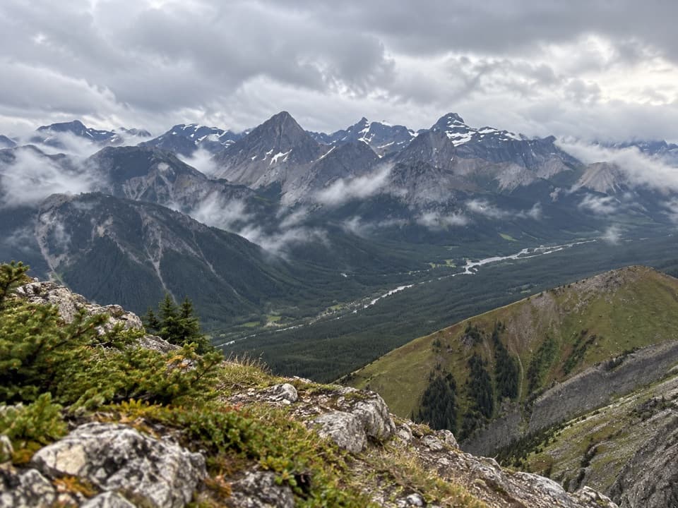
The forest begins to thin into open slopes, then the route climbs the exposed southeast ridge. Wind can make this part feel much tougher than the forest approach. The ridge is lower than Mount Kent to the east and the taller Mount Smith-Dorrien and Mount Black Prince ridge to the west, so the outlook is framed rather than a broad summit panorama. The nearby outlier and views toward the Opal Range and Highwood area are the payoff.

Where to stopThis version turns around on a small rise before steep rock; it is not a summit hike.

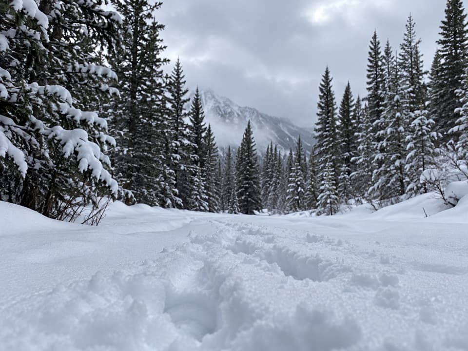
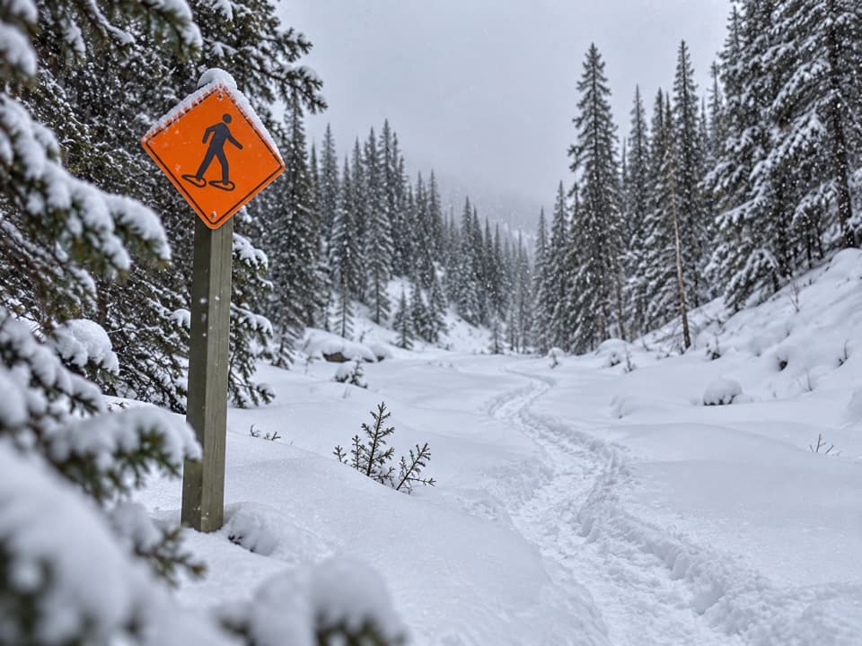
This version turns around on a small rise before steep rock; it is not a summit hike. The rocky continuation beyond that point is a separate, harder commitment. Snowshoes have been used here, but it is not a maintained winter route.

Wildlife

Wildlife in Peter Lougheed

All Peter Lougheed wildlife maps

Sighting maps show where each species has been reported across Peter Lougheed. Wildlife moves, so no sighting is guaranteed.

Keep exploring

Near Blacksmith Ridge Trail via Smith-Dorrien Creek

See it all on the map

Trails that start nearby

Places near the trailhead

Parkwolf’s Peter Lougheed ranking

Top-rated trails in Peter Lougheed

All 66 trails
  1. 1Rawson Lake TrailModerate · 7.8 km
  2. 2Ptarmigan Cirque Interpretive TrailModerate · 4.5 km
  3. 3Burstall Pass TrailChallenging · 14.8 km
  4. 4Chester Lake TrailModerate · 9.2 km
  5. 5Upper Kananaskis Lake LoopModerate · 15.7 km
  6. 6Sarrail Ridge via Rawson LakeChallenging · 11.7 km

Take Parkwolf to Peter Lougheed.

The audio tour guide for the drive, plus offline maps, trails, and wildlife heatmaps for when the signal drops.

4.7 from 8,600+ ratings

Download Parkwolf on the App StoreGet Parkwolf on Google Play