Parking
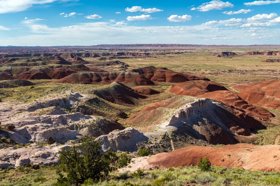
Use the Jasper Forest overlook parking lot and start at its south end. The separate Jasper Forest walk along the old road starts at the north end of the same lot.
Petrified Forest National Park, AZ
Wash route-finding leads to petrified wood and a mesa view.
Overview
In the 1890s and early 1900s, this was the first petrified-wood area that many tourists reached after arriving by train at Adamana and traveling in by wagon. The colorful logs were their introduction to the deposits. The wood is fossilized, and the park dates the fossils and geology along this route to about 217 million years ago. Sandstone buried the trees; erosion is still exposing them in the washes and across the mesa.
 Parkwolf’s verdictWhy it's called First Forest
Map & elevation
Plan your hike

The highest, rockiest slopes around here are a summer buffet for grizzly bears.
Petrified Forest Tour Guide
Parkwolf is a GPS audio tour guide for Petrified Forest National Park. As you drive, it chimes in with what’s ahead: hidden gems, upcoming stops, history, geology, and wildlife, right through your car’s speakers.
See the Petrified Forest audio tourRecorded for this trailhead
Jasper Forest from Above“Jasper Forest Overlook is coming up, with a broad view across a basin scattered with petrified wood. This is a good quick stop for the scale of the fossil field; the accessible viewpoint stays above the logs.”
Plays as you drive up to this trailhead in the Parkwolf Petrified Forest Tour Guide.
More stories near here in the app
“Fantastic app with many points of information… It’s great to just turn on while you’re driving and it gives you an audio tour of the national Park. We love it!!!!”


Trail guide
First Forest Point is a backcountry out-and-back to a mesa west of Jasper Forest. The park gives it as 4.2 miles round trip, an approximate figure. From the south end of the overlook parking lot, the route drops below the bluff, follows washes past scattered petrified wood, and climbs a gentle slope to the mesa. Allow about three hours. The climb is not especially steep; finding the route is the real commitment. If you want a marked path, take the separate 2.5-mile Jasper Forest walk along the old road instead.
This is a suggested route, not a built trail. Pick up the route sheet at a visitor center before setting out; the park warns that route-finding skills are needed. Follow the mapped line from the lot's south end, down into the basin, across washes and a dirt service road, then stay south of the small formation as you climb onto the mesa. The route turns slightly north near the top. Reverse the same corridor, and remember where you first dropped into the wash. The route sheet's distances are approximate, and wandering to find the right wash can add mileage.
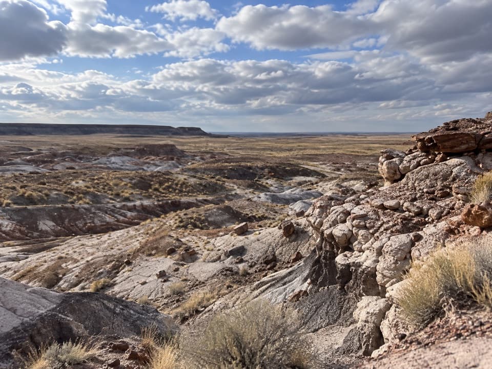
The mesa is the payoff: a wide look across the badlands and the plain beyond. The park's route map points out petrified logs eroding from the east side near the mesa's north end. Take a few minutes there and look closely at the broken wood among the pale sandstone. For a photo, use a log on the east side of the mesa as foreground with the badlands beyond. A few petroglyphs may be out here too, but they are easy to miss and never guaranteed. Leave fossils and rock art where they are; don't climb the fragile badland walls to get a closer look.
There is little shelter on this open route and no on-route water stop was found, so carry what you need from the car. The park warns that footing can be difficult when wet and says not to hike here during lightning. Its pet rules cover paved roads and trails and designated wilderness, but this suggested off-trail route is not clearly classified on the pet page; check with the park before bringing a dog.
Wildlife
 185 sightingsPronghornMost seen around 6 AMSighting map
 172 sightingsMule DeerMost seen around 6 AMSighting map
 100 sightingsCoyoteMost seen around 6 PMSighting map
 33 sightingsWapitiMost seen around 7 PMSighting map
 35 sightingsGunnison's Prairie DogMost seen around 8 AMSighting map
 56 sightingsPorcupineMost seen around 7 PMSighting map
Sighting maps show where each species has been reported across Petrified Forest. Wildlife moves, so no sighting is guaranteed.
Keep exploring
 ModerateJasper Forest Hike2.5 mi · 1.5 hr · 0.1 mi awayA disappearing road threads a dense field of ancient petrified logs.
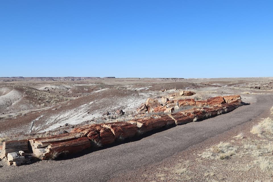 EasyCrystal Forest Trail0.9 mi · 30 min · 1.9 mi awayA short loop among colorful logs scattered across purple badlands.
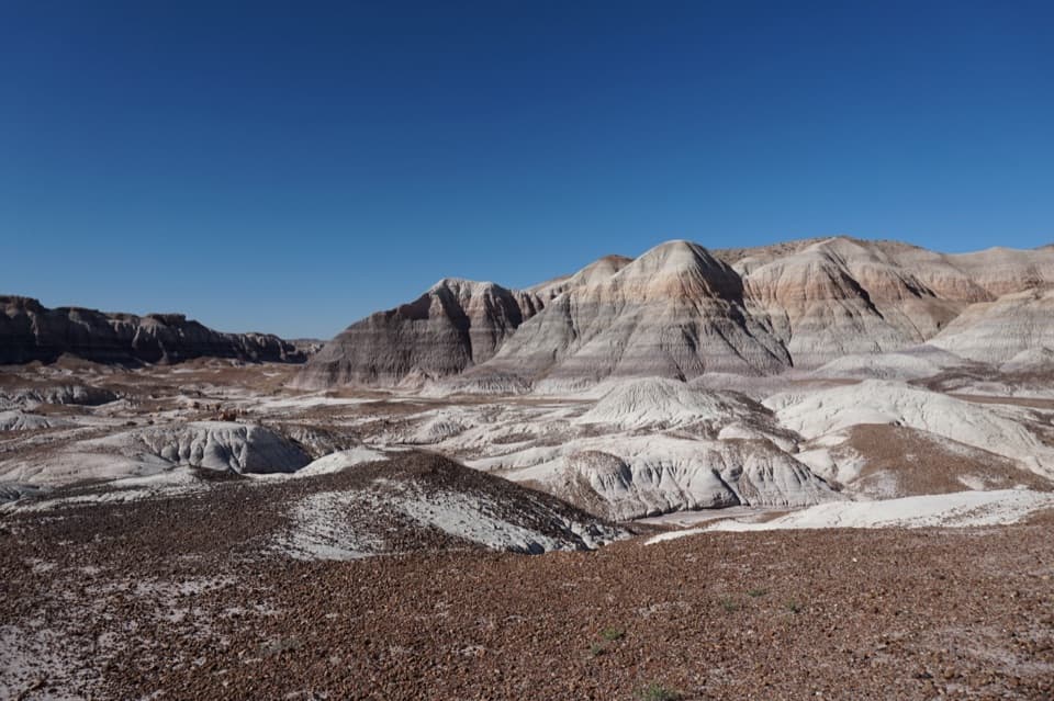 ChallengingBlue Forest Trail1.2 mi · 1.5 hr · 4.2 mi awayA rough old trail through blue badlands and exposed petrified wood.
 EasyBlue Mesa Trail1 mi · 45 min · 4.6 mi awayColor-banded badlands and petrified wood on a short, steep loop.
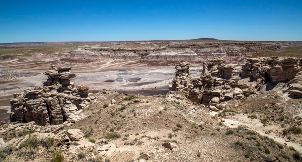 ModerateBillings Gap Overlook Loop3.5 mi · 2.5 hr · 4.7 mi awayCircle Blue Mesa's rim for a close look at Billings Gap.
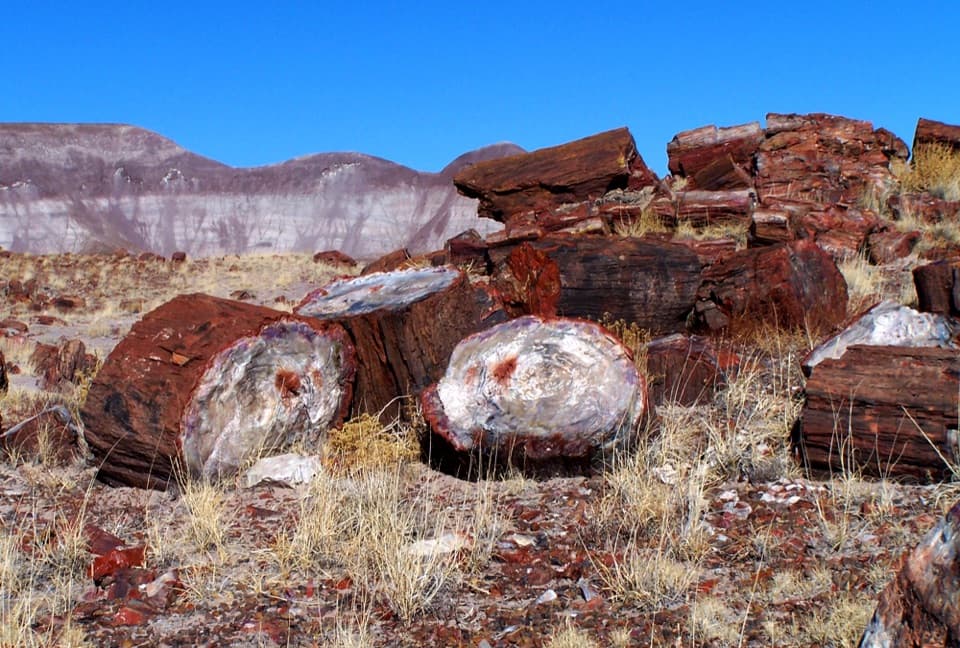 EasyLong Logs Trail1.6 mi · 1.5 hr · 5.9 mi awayBright petrified logs beneath gray and purple badlands.
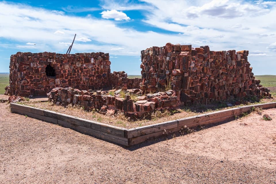 EasyAgate House Trail2 mi · 1 hr · 6 mi awayA short paved start leads to a pueblo built from petrified wood.
 EasyLong Logs and Agate House Trails2.6 mi · 1.5 hr · 6 mi awayPetrified logs and an ancient pueblo on a 2.6-mile round trip.
 Sight · 0.1 mi awayJasper Forest OverlookA quick panorama over Jasper Forest’s basin of petrified wood.
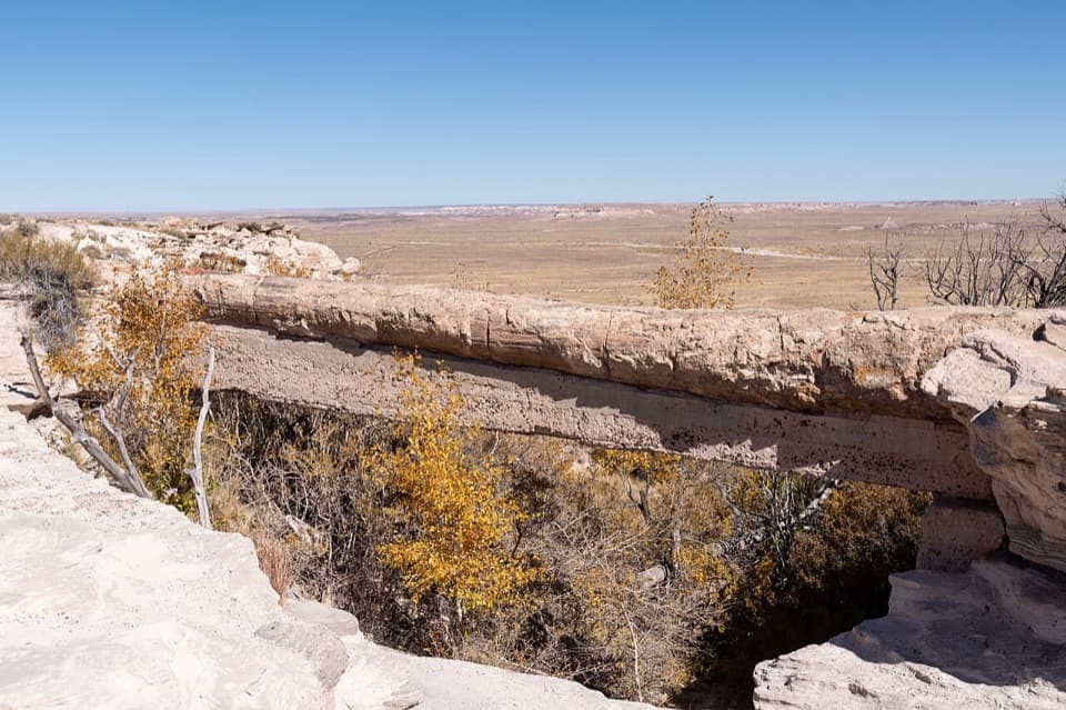 Sight · 0.9 mi awayAgate BridgeA petrified log spans a gully on a 1917 concrete beam.
 Sight · 1.9 mi awayCrystal ForestQuartz flashes in the petrified logs along this short paved loop.
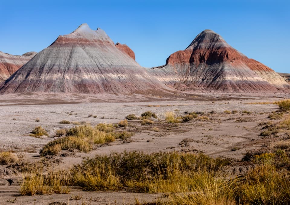 Scenic pullout · 4.2 mi awayThe Tepees South PulloutA roadside look at roughly 220-million-year-old striped hills.
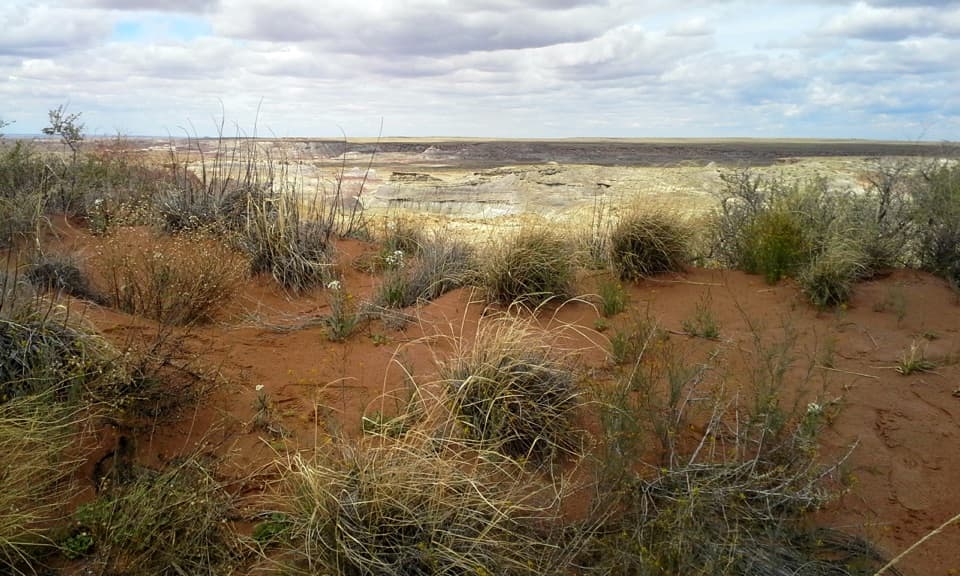 Sight · 4.2 mi awayHamilili DuneRed sand breaks up the pale, layered badlands.
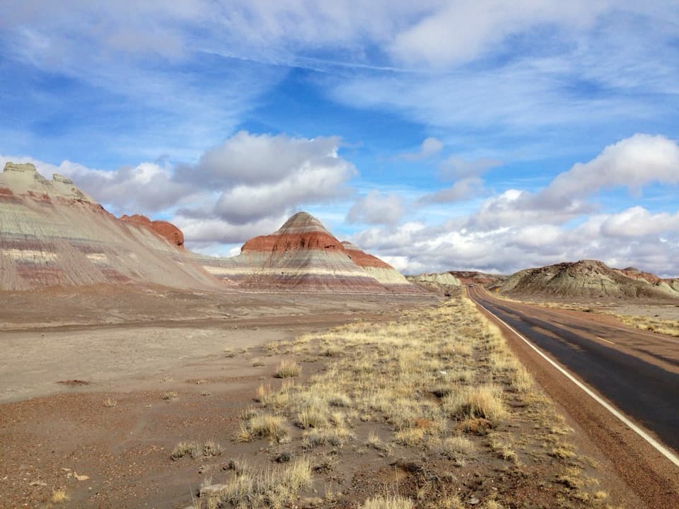 Scenic pullout · 4.3 mi awayThe Tepees North PulloutA quick roadside look at the Painted Desert's striped cones.
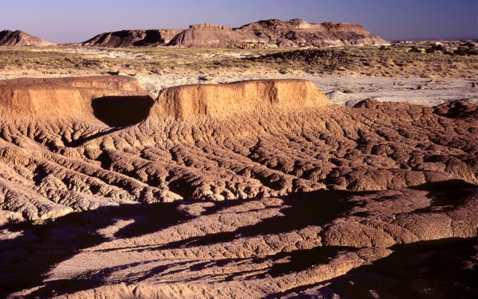 Scenic pullout · 4.6 mi awayHamilili PointA quick pullout for layered badlands and the Flattops skyline.
 Sight · 4.6 mi awayBlue Mesa OverlookRim-top views of striped badlands, with an optional one-mile walk.
Parkwolf’s Petrified Forest ranking
The audio tour guide for the drive, plus offline maps, trails, and wildlife heatmaps for when the signal drops.