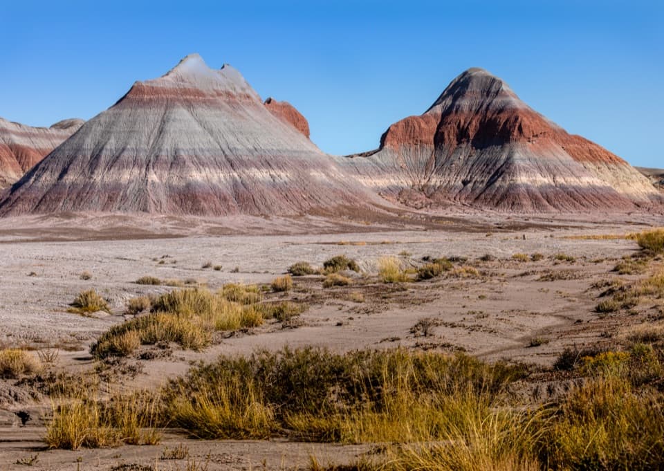
The Tepees South Pullout in Petrified Forest National Park

Scenic pullout · Petrified Forest National Park

The Tepees South Pullout

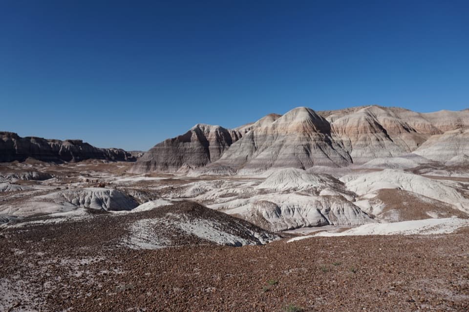
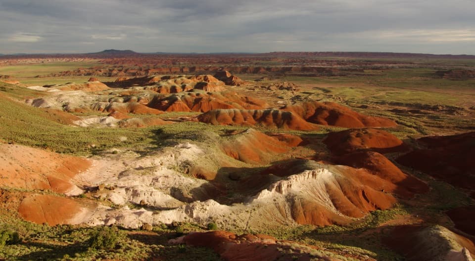
A roadside look at roughly 220-million-year-old striped hills.

Photo: Wikimedia Commons
Type
Scenic pullout
Nearest trail
Right here
Audio stories
7 nearby
  • Pullout
  • Parking
  • Scenic viewpoint
  • Trailhead

Hear the audio tour

The Tepees Roadside Views

Overview

About The Tepees South Pullout

Why stop

  • Close roadside view of the Tepees’ banded Triassic hills.

Map

Where it is

Loading the Petrified Forest map
Full map
Scenic pulloutThe Tepees South Pullout34.94321, -109.77765
Keep this map with you offline in the Parkwolf app

Plan your stop

Before you go

2 active Petrified Forest alerts

  • ClosurePainted Desert Visitor Center closed for constructionThe Painted Desert Visitor Center is closed for construction; visitor-center operations are at the Painted Desert Inn, two miles past the north entrance station.Official details
  • ClosureAgate House closed to visitorsAgate House is closed to the public because of physical safety concerns; stay at least 15 feet from the structure. - The closure remains in effect until terminated in writing by the park.Official details

Petrified Forest alerts
A park ranger sits on a dash-mounted phone, talking, as Parkwolf’s Tour Guide plays “Army Cutworm Moths: A Grizzly Bear Buffet” on Grand Loop Road below Dunraven Pass in Yellowstone
Parkwolf Tour GuideThe highest, rockiest slopes around here are a summer buffet for grizzly bears.

Petrified Forest Tour Guide

Your drive to The Tepees South Pullout, narrated.

Parkwolf is a GPS audio tour guide for Petrified Forest National Park. As you drive, it chimes in with what’s ahead: hidden gems, upcoming stops, history, geology, and wildlife, right through your car’s speakers.

See the Petrified Forest audio tour

Recorded for this place

The Tepees Roadside Views
0:00 / 0:29
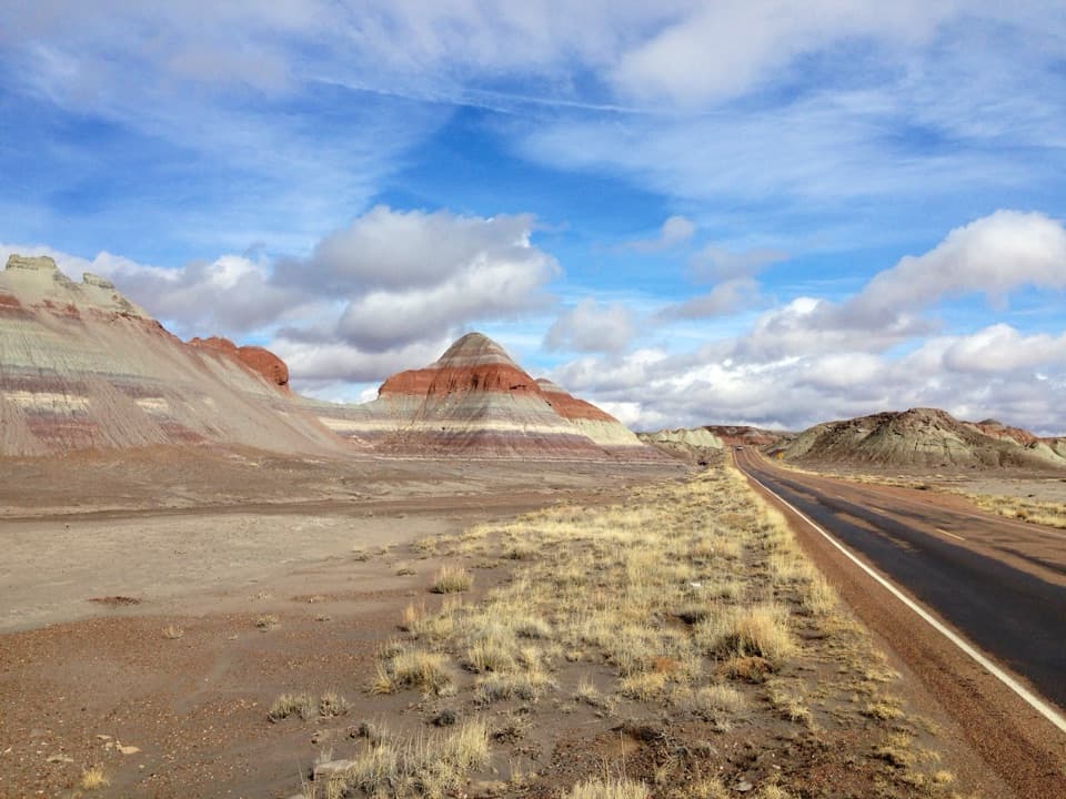
“The Tepees are coming up, a cluster of cone-shaped hills striped in gray-blue, purple, green, and rust. Their shape gave them their name.”

Plays as you drive up to The Tepees South Pullout in the Parkwolf Petrified Forest Tour Guide.

More stories near here in the app

  • Puerco Pueblo’s Sun Marker
  • Ravens at Play
  • Blue Mesa's Banded Hills
  • The Logs’ Clean Breaks
  • 35 audio storiesacross Petrified Forest’s roads, triggered by GPS as you drive
  • Wildlife heatmapsfor Pronghorn, Mule Deer, Coyote, and 13 more
  • Works offlinemaps, 16 trails, 33 places, and audio download before you lose signal
  • CarPlay readysimple controls built for the drive
★★★★★
“Fantastic app with many points of information… It’s great to just turn on while you’re driving and it gives you an audio tour of the national Park. We love it!!!!”
JMJamesApp Store review
Download Parkwolf on the App StoreGet Parkwolf on Google Play

4.7 from 8,600+ ratings

Guide

More about The Tepees South Pullout

A quick look at the TepeesThe Tepees South Pullout is the southern of two roadside stops beside Petrified Forest’s…

The Tepees South Pullout is the southern of two roadside stops beside Petrified Forest’s banded, cone-shaped hills. It’s a compact viewpoint, and the lot also starts Historic Blue Forest Trail. I’d stop if you want a close look at the park’s layered Triassic rock; this is a geology pause, not a destination that needs a long visit.

Get the view from the lotThe Tepees are 14 miles from the north entrance.

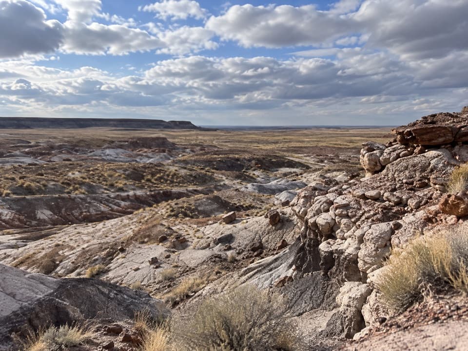
The Tepees are 14 miles from the north entrance. The southern lot has auto and bus/RV parking and interpretive exhibits. For a photo, leave some gravel and desert scrub in the foreground to set the striped cones against the basin.

Why the hills change colorThe Blue Mesa Member is best exposed around the Tepees.

The Blue Mesa Member is best exposed around the Tepees. Its mudstone dates to about 220–225 million years ago, with gray, blue, purple and green layers and minor sandstone. Those colors record ancient soil and groundwater conditions: blue-green tones formed where soils stayed low in oxygen under a high water table; red tones formed when iron oxidized as groundwater levels shifted.

Older rocks in the same areaThe Tepees area also exposes the older Mesa Redondo Member, laid down about 225–227 million…

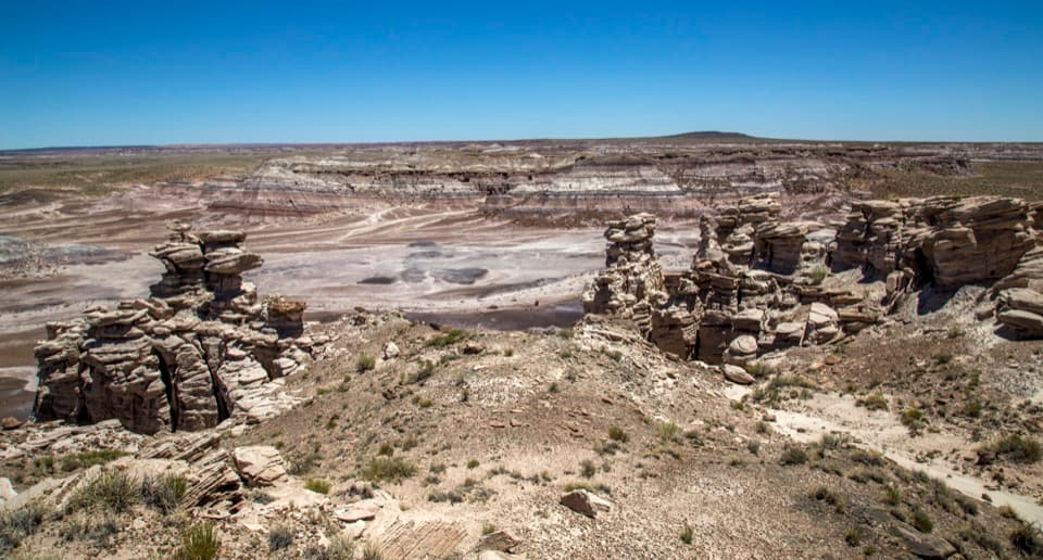
The Tepees area also exposes the older Mesa Redondo Member, laid down about 225–227 million years ago. Its dark-red siltstone and sandy conglomerate record floodplain deposits beside channels of Shinarump sandstone. The red beds make a useful contrast with the younger Blue Mesa colors.

Where the name comes fromThe cones reminded people of tepees, though tipis aren’t part of this region’s tradition.

The cones reminded people of tepees, though tipis aren’t part of this region’s tradition. Some Navajo people have compared one hill with a male hogan.

Wildlife

Wildlife in Petrified Forest

All Petrified Forest wildlife maps

Sighting maps show where each species has been reported across Petrified Forest. Wildlife moves, so no sighting is guaranteed.

Parkwolf’s Petrified Forest ranking

Top sights in Petrified Forest

All 33 places
  1. 1Blue Mesa OverlookSight
  2. 2Giant LogsSight
  3. 3Crystal ForestSight
  4. 4Painted Desert InnSight
  5. 5Rainbow Forest MuseumSight
  6. 6Kachina PointSight

Take Parkwolf to Petrified Forest.

The audio tour guide for the drive, plus offline maps, trails, and wildlife heatmaps for when the signal drops.

4.7 from 8,600+ ratings

Download Parkwolf on the App StoreGet Parkwolf on Google Play