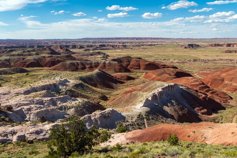
Parking
Park at Jasper Forest Overlook. The unmarked start is near the far end of the lot, where a faint path drops into a drainage. Ask for the park’s Off the Beaten Path route guide at a visitor center before setting out.

#10 of 16 trails in Petrified Forest
Petrified Forest National Park, AZ
A disappearing road threads a dense field of ancient petrified logs.
Overview
Map & elevation
Plan your hike

The highest, rockiest slopes around here are a summer buffet for grizzly bears.
Petrified Forest Tour Guide
Parkwolf is a GPS audio tour guide for Petrified Forest National Park. As you drive, it chimes in with what’s ahead: hidden gems, upcoming stops, history, geology, and wildlife, right through your car’s speakers.
See the Petrified Forest audio tourRecorded for this trailhead
Jasper Forest from Above“Jasper Forest Overlook is coming up, with a broad view across a basin scattered with petrified wood. This is a good quick stop for the scale of the fossil field; the accessible viewpoint stays above the logs.”
Plays as you drive up to this trailhead in the Parkwolf Petrified Forest Tour Guide.
More stories near here in the app
“Fantastic app with many points of information… It’s great to just turn on while you’re driving and it gives you an audio tour of the national Park. We love it!!!!”


Trail guide
Jasper Forest Hike is a 2.5-mile out-and-back from Jasper Forest Overlook into a dense field of petrified wood, following a fading 1930s roadbed to a small basin near the former Eagle’s Nest Rock. Allow about 1.5–2 hours. The distance is modest, but the road is unmarked and has eroded away in places; this is for hikers comfortable finding their way across open badlands, not a signed stroll. If you want a shorter developed walk among petrified wood, the 0.75-mile Crystal Forest loop is an easier alternative.
Park at the overlook. The unmarked start is near the far end of the lot, where a faint path drops into a small drainage. Farther down, look for the old roadbed as it descends the rim. It curves past a bluff, crosses dry washes and follows the drainages toward a basin tucked against the rim. Occasional asphalt fragments and small sandstone culvert abutments are clues that you are still on the old line. The roadbed circles a low Chinle hill at the far end; return by the same route. Bring the park’s route guide and do not improvise a new line when the tread fades.
Below the bluff, petrified logs lie among colorful chips of fossil wood. Some sit on little pedestals: the log shelters the soil beneath it while the surrounding ground erodes away. A log on one of these pedestals makes a distinctive close-up against the banded badlands. Leave every piece where it lies; even the small fragments are protected park resources.
The area was called First Forest by early visitors arriving by wagon from Adamana’s train station; it was the first petrified-wood deposit they encountered. A road was later built through Jasper Forest for car trips to Eagle’s Nest Rock, once a solitary hoodoo in the colorful badlands. Its upper part fell in 1941. The hike now follows that eroding road toward the remaining hill, not an intact hoodoo.
Ask for the off-the-beaten-path route guide at a visitor center, and carry water in warm weather. Dogs are allowed on a leash no longer than six feet. Wet bentonite clay becomes slick and sticky, and rain can make the washes harder to cross, so choose a dry day if you are unsure about footing or navigation.
Wildlife
 185 sightingsPronghornMost seen around 6 AMSighting map
 172 sightingsMule DeerMost seen around 6 AMSighting map
 100 sightingsCoyoteMost seen around 6 PMSighting map
 33 sightingsWapitiMost seen around 7 PMSighting map
 35 sightingsGunnison's Prairie DogMost seen around 8 AMSighting map
 56 sightingsPorcupineMost seen around 7 PMSighting map
Sighting maps show where each species has been reported across Petrified Forest. Wildlife moves, so no sighting is guaranteed.
Keep exploring
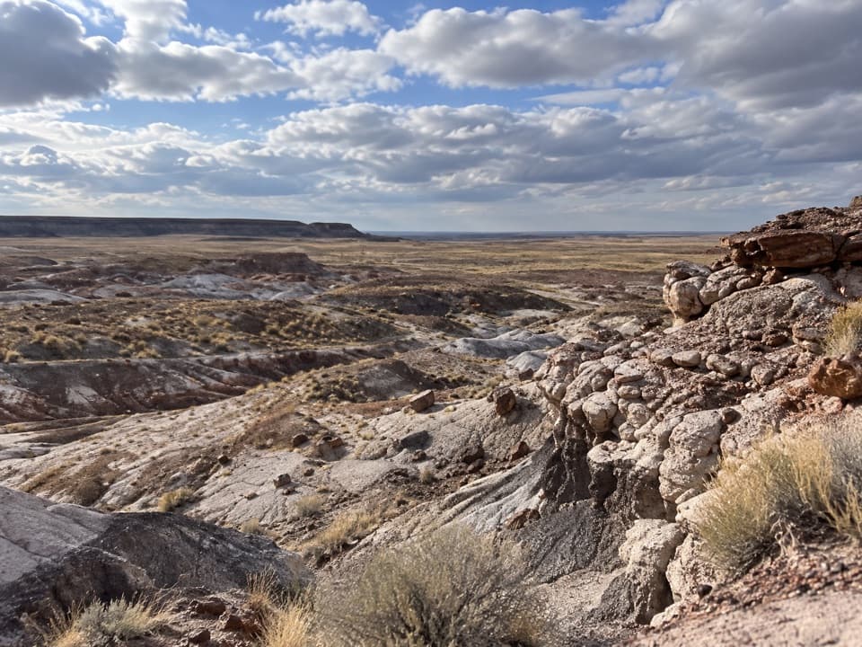 ModerateFirst Forest Point4.2 mi · 3 hr · 0.1 mi awayWash route-finding leads to petrified wood and a mesa view.
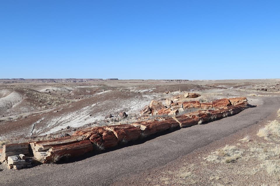 EasyCrystal Forest Trail0.9 mi · 30 min · 1.9 mi awayA short loop among colorful logs scattered across purple badlands.
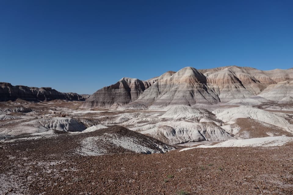 ChallengingBlue Forest Trail1.2 mi · 1.5 hr · 4.1 mi awayA rough old trail through blue badlands and exposed petrified wood.
 EasyBlue Mesa Trail1 mi · 45 min · 4.6 mi awayColor-banded badlands and petrified wood on a short, steep loop.
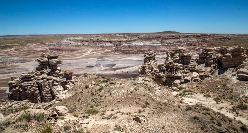 ModerateBillings Gap Overlook Loop3.5 mi · 2.5 hr · 4.7 mi awayCircle Blue Mesa's rim for a close look at Billings Gap.
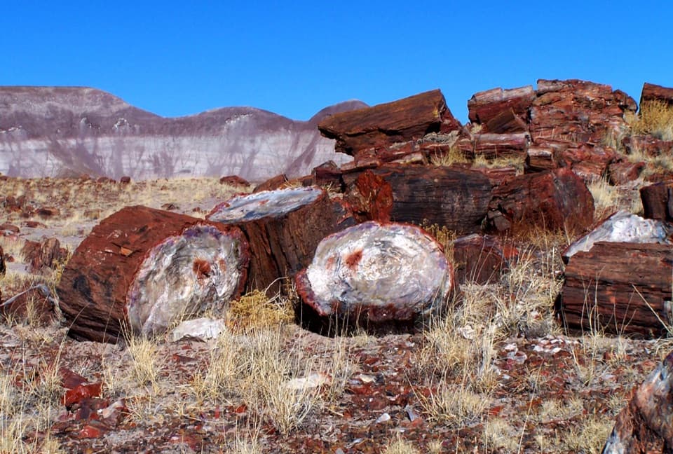 EasyLong Logs Trail1.6 mi · 1.5 hr · 6 mi awayBright petrified logs beneath gray and purple badlands.
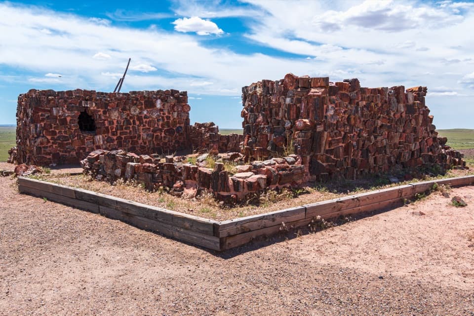 EasyAgate House Trail2 mi · 1 hr · 6 mi awayA short paved start leads to a pueblo built from petrified wood.
 EasyLong Logs and Agate House Trails2.6 mi · 1.5 hr · 6 mi awayPetrified logs and an ancient pueblo on a 2.6-mile round trip.
 Sight · At the trailheadJasper Forest OverlookA quick panorama over Jasper Forest’s basin of petrified wood.
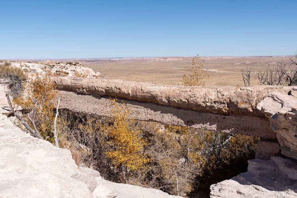 Sight · 0.8 mi awayAgate BridgeA petrified log spans a gully on a 1917 concrete beam.
 Sight · 1.9 mi awayCrystal ForestQuartz flashes in the petrified logs along this short paved loop.
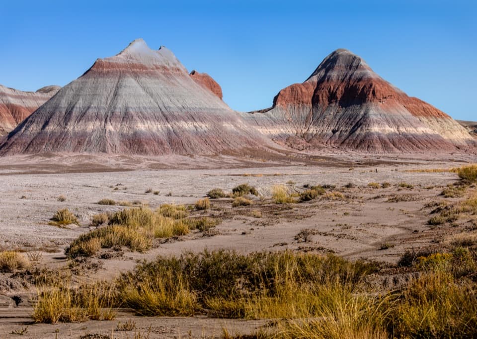 Scenic pullout · 4.1 mi awayThe Tepees South PulloutA roadside look at roughly 220-million-year-old striped hills.
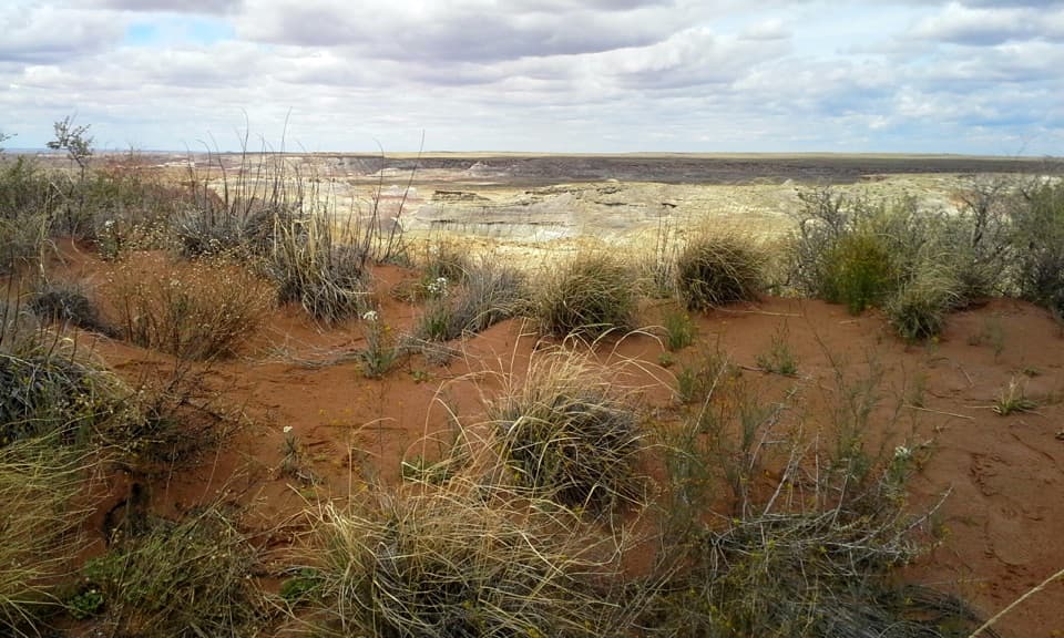 Sight · 4.3 mi awayHamilili DuneRed sand breaks up the pale, layered badlands.
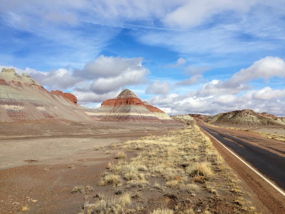 Scenic pullout · 4.3 mi awayThe Tepees North PulloutA quick roadside look at the Painted Desert's striped cones.
 Sight · 4.6 mi awayBlue Mesa OverlookRim-top views of striped badlands, with an optional one-mile walk.
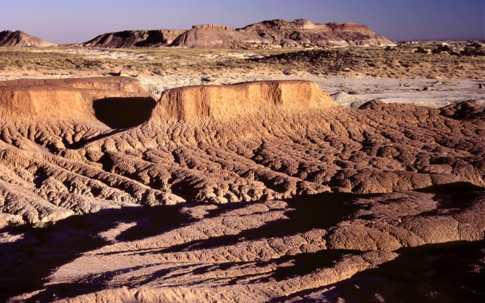 Scenic pullout · 4.6 mi awayHamilili PointA quick pullout for layered badlands and the Flattops skyline.
Parkwolf’s Petrified Forest ranking

The audio tour guide for the drive, plus offline maps, trails, and wildlife heatmaps for when the signal drops.