Moses Spring Trail to Bear Gulch Reservoir in Pinnacles National Park

Pinnacles National Park, CA

Moses Spring Trail to Bear Gulch Reservoir

A short rocky climb to a ferny grotto and stone dam.

Length
1mi
Time
1.3hr
Elev. change
209ft
Difficulty
Moderate
  • No dogs
  • High point 1,621 ft

Hear the audio tour

Bear Gulch Cave and Reservoir

Overview

About Moses Spring Trail to Bear Gulch Reservoir

Why go

  • A quick, varied climb reaches a spring grotto and a stone-dam reservoir.

Heads up

  • Uneven rocks and steps make the short climb slow-going.
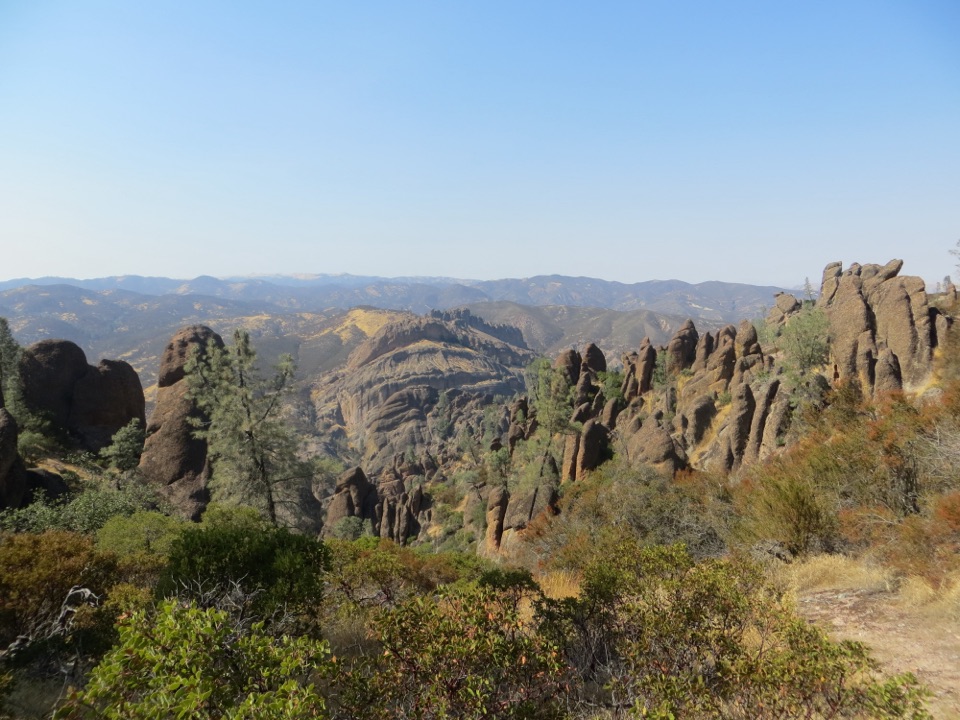
Moses Spring Trail to Bear Gulch Reservoir is about a 1-mile round-trip out-and-back from the signed Moses Springs trailhead. It climbs through a boulder-lined creek bed and a ferny spring grotto before ending at the reservoir’s stone dam. It’s a good pick for a quick, close-up Bear Gulch walk when you don’t want the longer Rim and High Peaks loop. Allow about 1 to 1½ hours for the climb and time at the water.
Parkwolf’s verdictIs this the hike for you?

Map & elevation

The route

Loading the Pinnacles map
Full map
Elevation1,412–1,621 ft
TrailheadMoses Springs Trailhead36.47755, -121.18537
Keep this map with you offline in the Parkwolf app

Plan your hike

Before you go

Parking

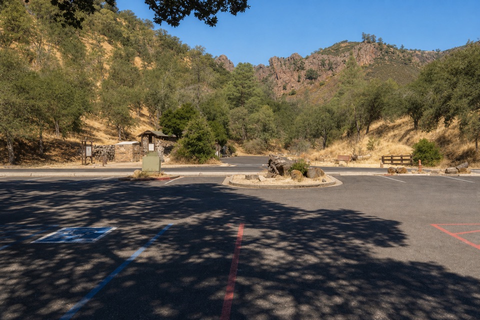
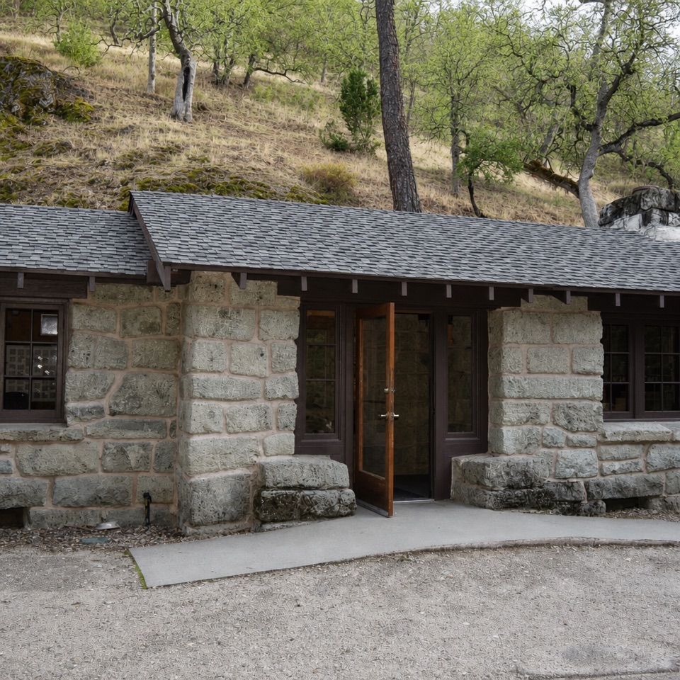
Park at Bear Gulch Day Use Area. From the Nature Center parking area, cross the wooden footbridge and shaded picnic area to the Moses Springs trailhead; the listed mileage starts there. The lot can fill early on busy weekends and holidays. Water and restrooms are available at the day-use area.


Safety

The route climbs over uneven rocks and steps through a boulder passage; expect careful footing. There is no water refill on the trail.

2 active Pinnacles alerts

  • CautionVery high fire danger restrictionsVery high fire danger is active at Pinnacles; follow these restrictions to reduce wildfire risk. - Do not use wood-burning fires or charcoal grills.Official details
  • CautionHot conditions and heat alertHot conditions and a heat alert are active at Pinnacles; limit strenuous hiking to early morning and late evening and prepare for extreme heat.Official details
Pinnacles alerts
A park ranger sits on a dash-mounted phone, talking, as Parkwolf’s Tour Guide plays “Army Cutworm Moths: A Grizzly Bear Buffet” on Grand Loop Road below Dunraven Pass in Yellowstone
Parkwolf Tour GuideThe highest, rockiest slopes around here are a summer buffet for grizzly bears.

Pinnacles Tour Guide

Your drive to Moses Spring Trail to Bear Gulch Reservoir, narrated.

Parkwolf is a GPS audio tour guide for Pinnacles National Park. As you drive, it chimes in with what’s ahead: hidden gems, upcoming stops, history, geology, and wildlife, right through your car’s speakers.

Recorded for this trailhead

Bear Gulch Cave and Reservoir
0:00 / 0:32
“You're coming up on the Bear Gulch walking area, the starting point for the cave and reservoir. The moderate Moses Spring and Rim Trail loop is about two point two miles; allow an hour and a half to two hours.”

Plays as you drive up to this trailhead in the Parkwolf Pinnacles Tour Guide.

More stories near here in the app

  • Bear Gulch to High Peaks
  • North Chalone Peak via Bear Gulch
  • Old Pinnacles and Machete Ridge
  • Peaks View Picnic Stop
  • 12 audio storiesacross Pinnacles’s roads, triggered by GPS as you drive
  • Wildlife heatmapsfor California Condor, Mule Deer, Chipmunk, and 13 more
  • Works offlinemaps, 25 trails, 23 places, and audio download before you lose signal
  • CarPlay readysimple controls built for the drive
★★★★★
“Fantastic app with many points of information… It’s great to just turn on while you’re driving and it gives you an audio tour of the national Park. We love it!!!!”
JMJamesApp Store review
Download Parkwolf on the App StoreGet Parkwolf on Google Play

4.7 from 8,600+ ratings

Trail guide

Hiking Moses Spring Trail to Bear Gulch Reservoir

Follow the Moses Spring routeStart uphill on Moses Spring Trail and stay left at the High Peaks junction.

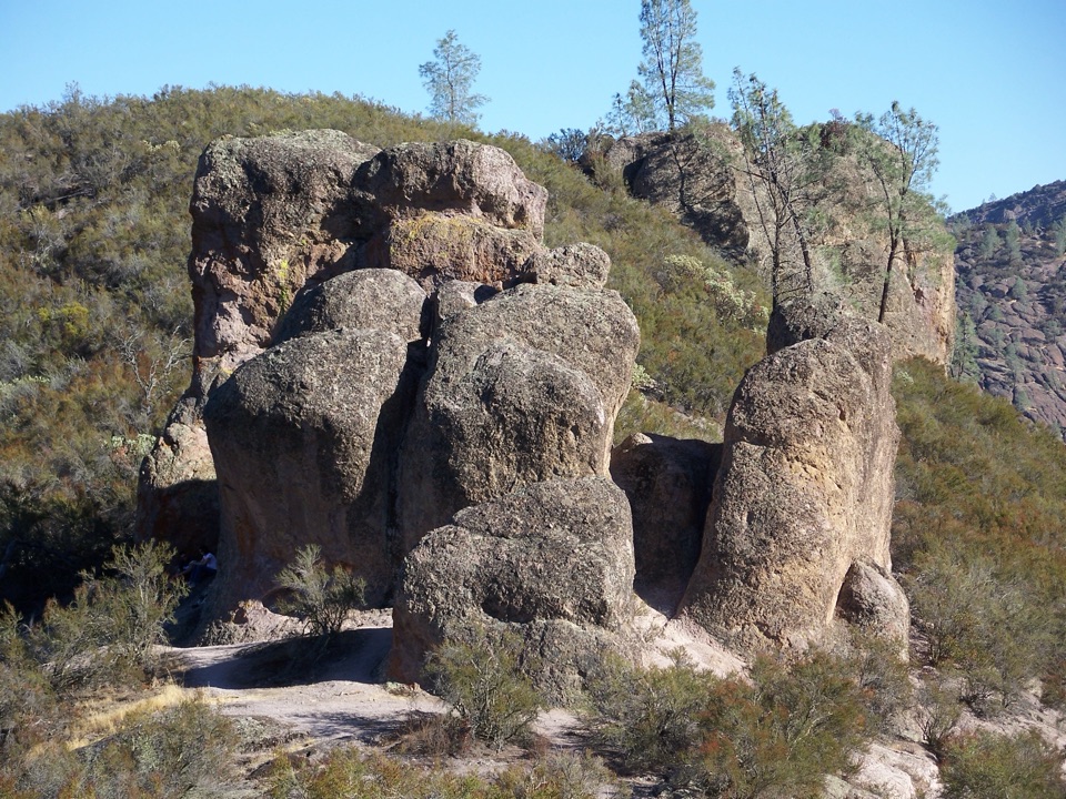
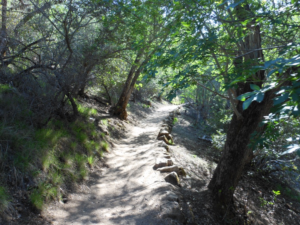
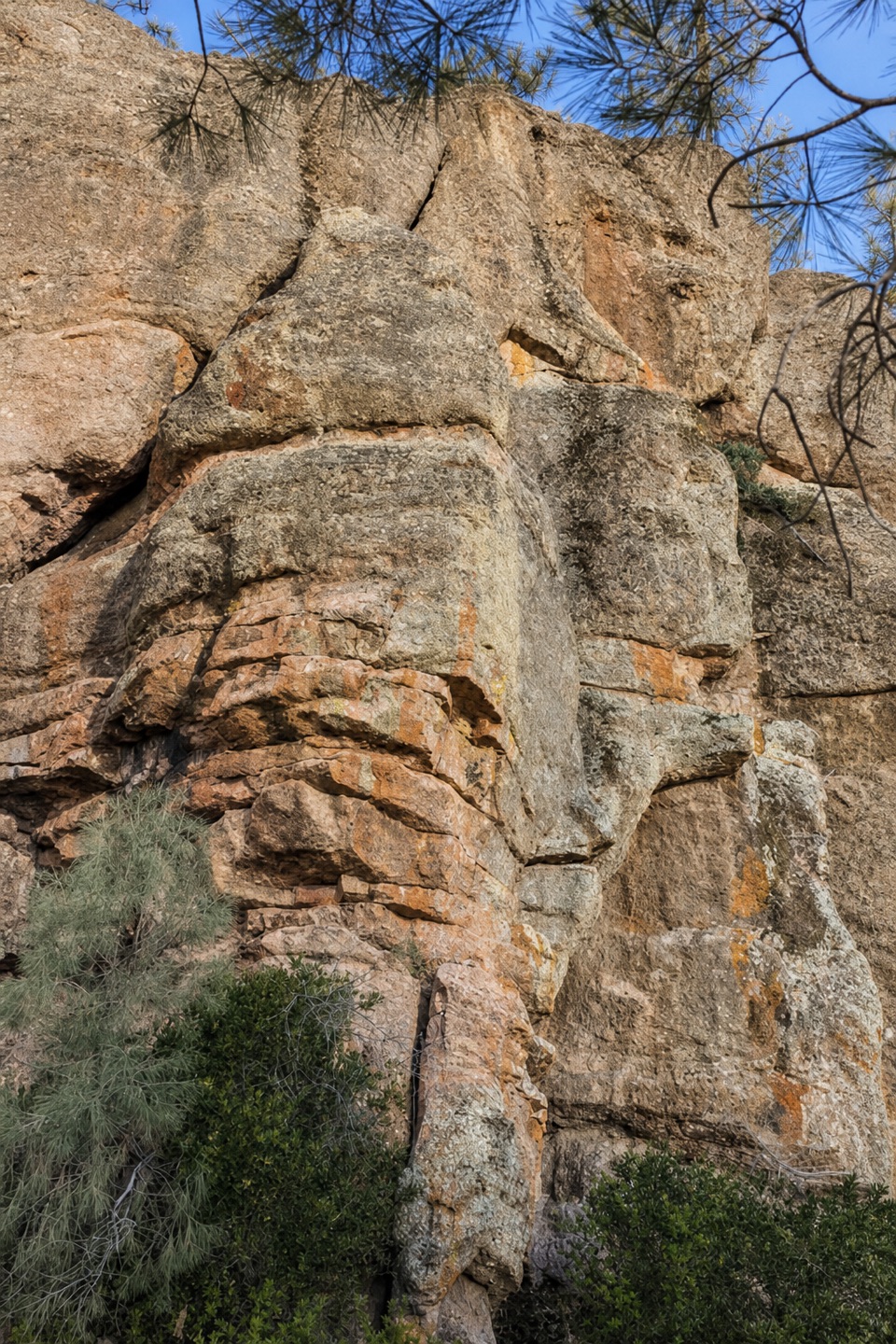
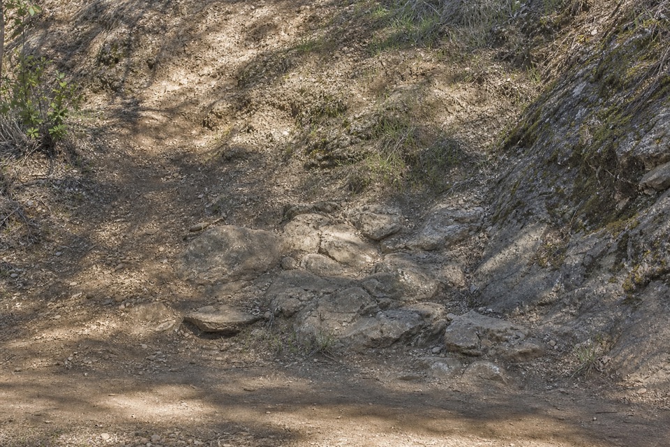
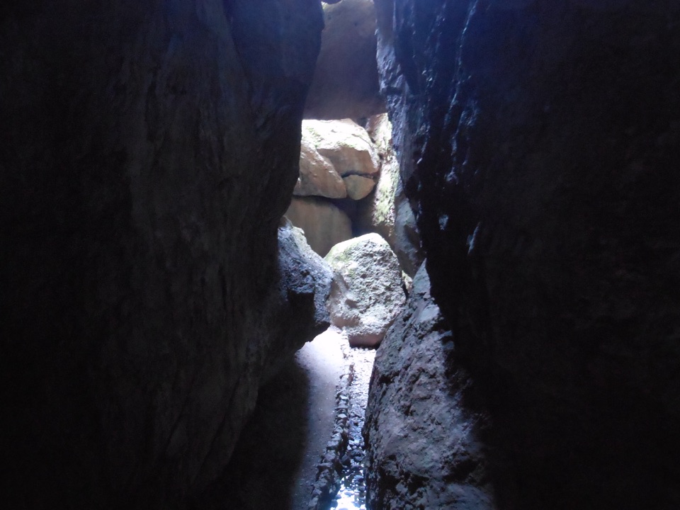
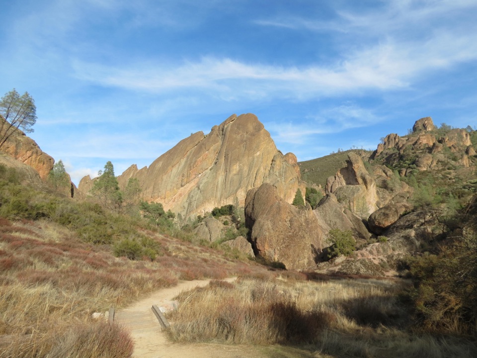
Start uphill on Moses Spring Trail and stay left at the High Peaks junction. At the caves junction, take the right branch toward Moses Spring; the left branch enters Bear Gulch Cave and is a separate option. The rocky tread squeezes past large boulders and includes uneven steps, so this short route asks more of your footing than the mileage suggests. The cave passage can close seasonally or after high water or rockfall; check its current status only if you plan that separate route.

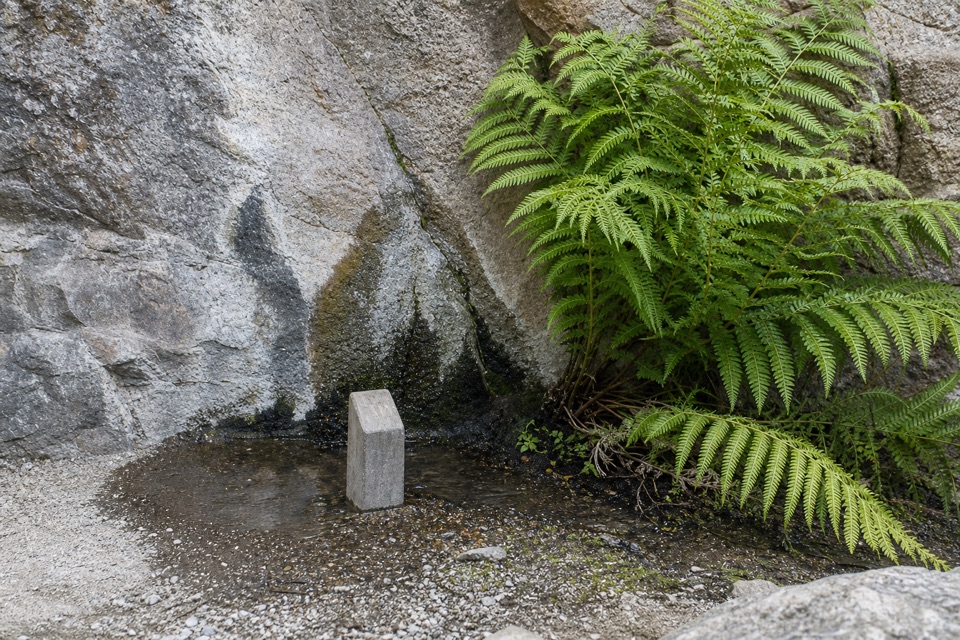
Stop at the springMoses Spring is a shaded grotto where weathering and erosion have carved a niche among the…

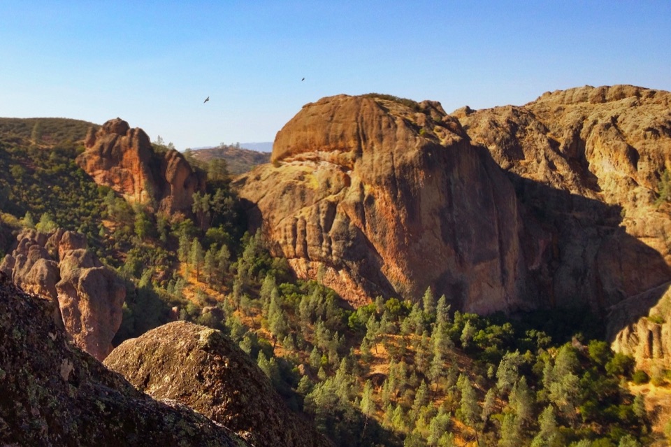
Moses Spring is a shaded grotto where weathering and erosion have carved a niche among the rocks. Water supports ferns and other green plants here. Stay on the trail through the narrow passage and give the small patch of greenery room.

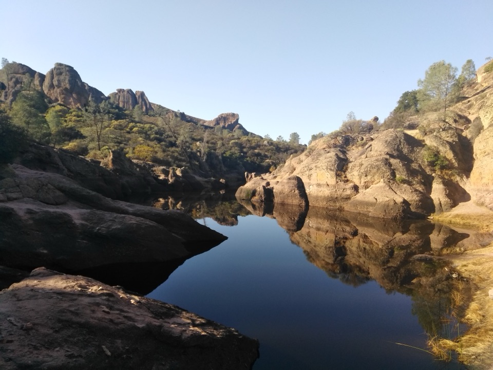
At Bear Gulch ReservoirThe stone dam was completed in 1935 by the Civilian Conservation Corps.

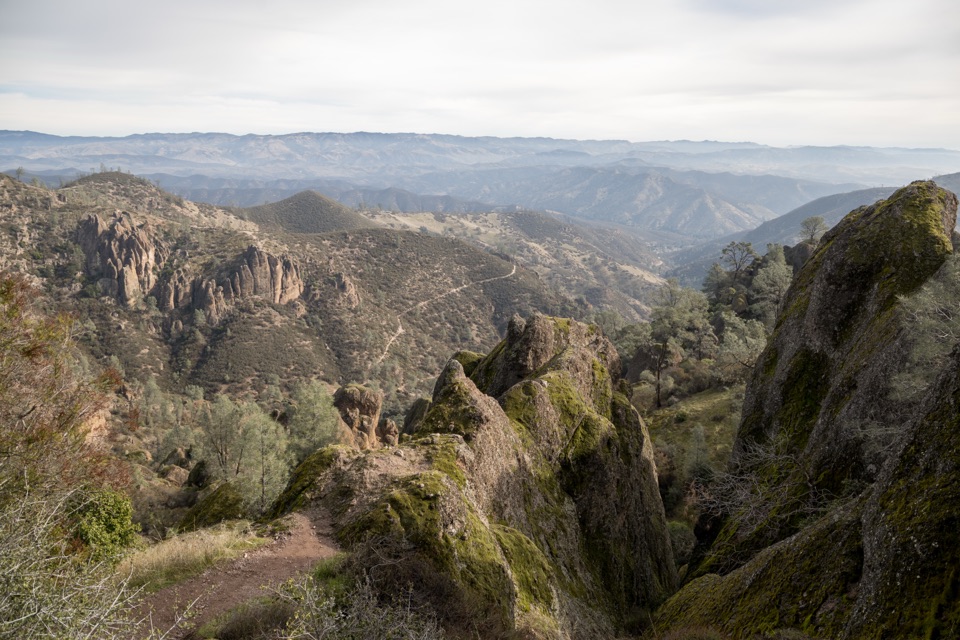
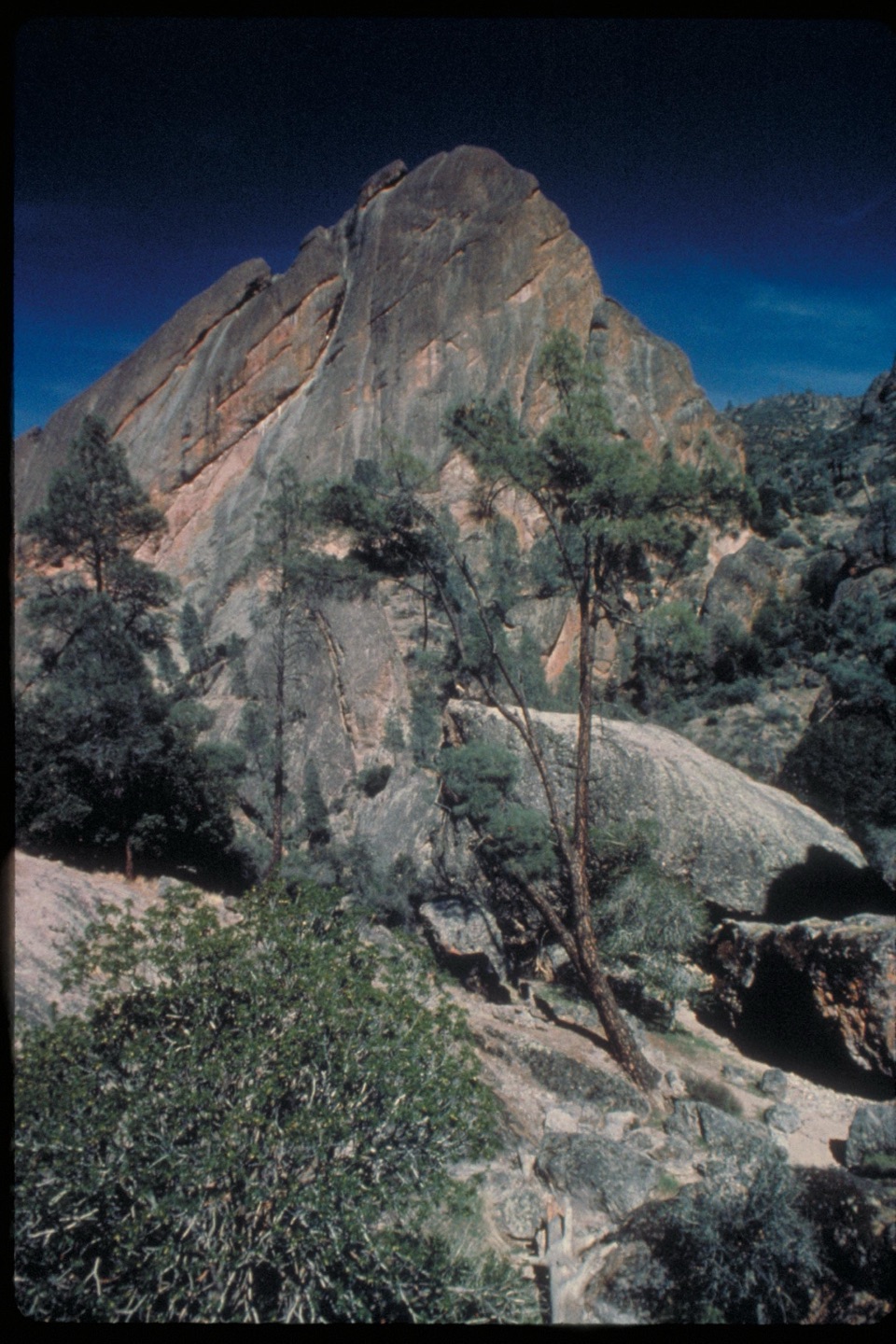
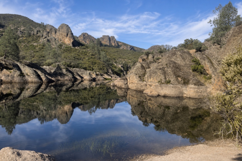
The stone dam was completed in 1935 by the Civilian Conservation Corps. The reservoir is important habitat for California red-legged frogs, so watch from a distance and don’t approach or make them jump. This is the route’s signature view: step back enough to include some of the rocky ridgeline above the water in a photo.

Start and extend your walkUse Bear Gulch Day Use Area parking.

Use Bear Gulch Day Use Area parking. From the Nature Center parking area, cross the wooden footbridge and the flat, shaded picnic area to the Moses Springs trailhead; the 1-mile distance above starts at that trailhead, so allow extra walking time from the lot. Restrooms and drinking water are at the day-use area, with no refill on the trail. Pets aren’t allowed on park trails; service animals are permitted. If you want a longer hike, the separate 2.2-mile Moses Spring–Rim Trail Loop continues past the reservoir and returns by Rim and High Peaks trails.

Wildlife

Wildlife in Pinnacles

All Pinnacles wildlife maps

Sighting maps show where each species has been reported across Pinnacles. Wildlife moves, so no sighting is guaranteed.

Keep exploring

Near Moses Spring Trail to Bear Gulch Reservoir

See it all on the map

Trails that start nearby

Places near the trailhead

Parkwolf’s Pinnacles ranking

Top-rated trails in Pinnacles

All 25 trails
  1. 1Condor Gulch to High Peaks LoopChallenging · 5.3 mi
  2. 2Moses Spring to Rim Trail LoopModerate · 2.2 mi
  3. 3Juniper Canyon Trail LoopChallenging · 4.3 mi
  4. 4Balconies Cliffs-Cave LoopModerate · 2.4 mi
  5. 5High Peaks to Balconies Cave LoopChallenging · 8.4 mi
  6. 6High Peaks to Bear Gulch LoopChallenging · 6.7 mi

Take Parkwolf to Pinnacles.

The audio tour guide for the drive, plus offline maps, trails, and wildlife heatmaps for when the signal drops.

4.7 from 8,600+ ratings

Download Parkwolf on the App StoreGet Parkwolf on Google Play