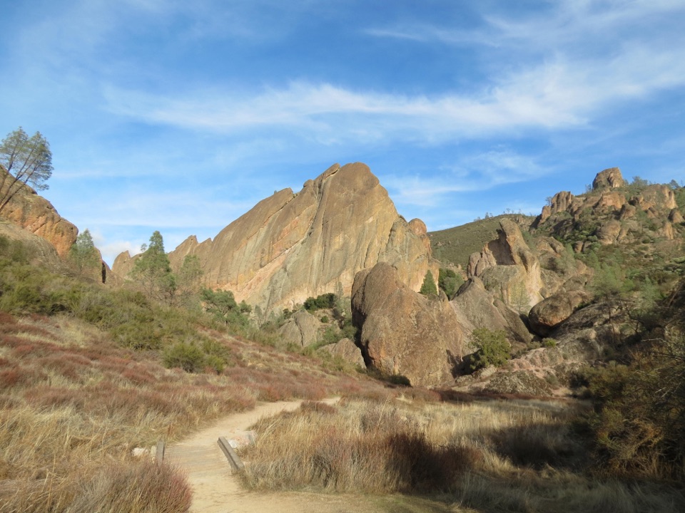
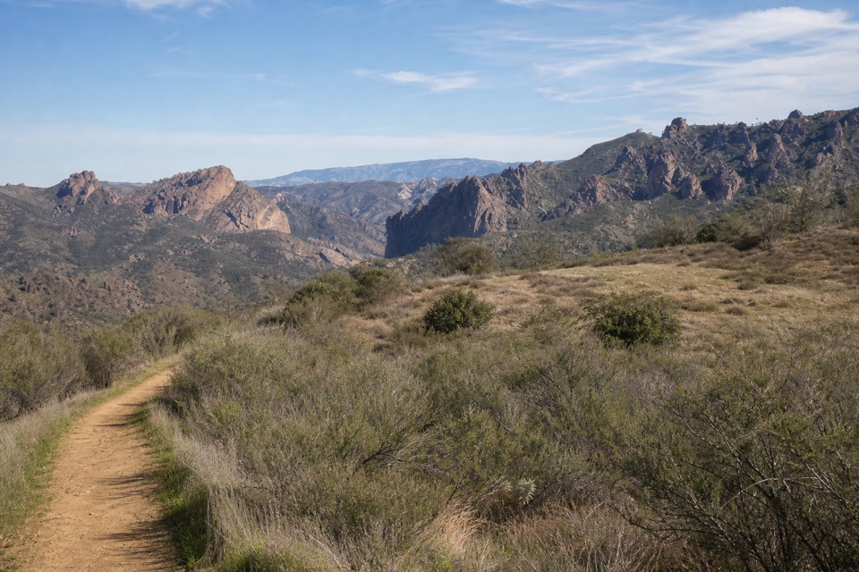
High Peaks to Bear Gulch Loop in Pinnacles National Park

#6 of 25 trails in Pinnacles

Pinnacles National Park, CA

High Peaks to Bear Gulch Loop

A steep ridge climb, tight rock passages, and a shaded return.

Photo: Wikimedia Commons
Length
6.7mi
Time
4.5hr
Elev. change
1,467ft
Difficulty
Challenging
  • Loop
  • No dogs
  • High point 2,477 ft

Hear the audio tour

Bear Gulch to High Peaks

Overview

About High Peaks to Bear Gulch Loop

Why go

  • Carved steps and rails put you among the High Peaks spires
  • A shaded oak and sycamore return balances the exposed ridge

Heads up

  • Long, sun-exposed climb with no water on the route
  • Steep ledges and tight passages can be uncomfortable if you dislike heights

Map & elevation

The route

Loading the Pinnacles map
Full map
Elevation1,010–2,477 ft
TrailheadMoses Spring Trailhead36.47854, -121.18401
Keep this map with you offline in the Parkwolf app

Plan your hike

Before you go

Parking

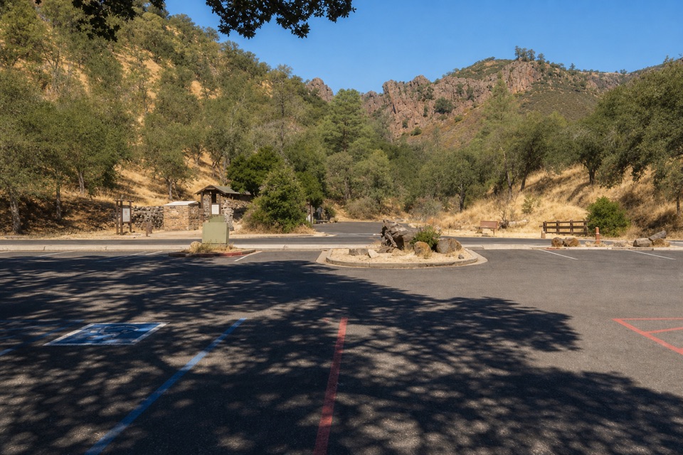
From the East Entrance, follow East Entrance Road about 4 miles to the Bear Gulch area. Moses Spring Parking Area is nearest the trailhead and has 10 spaces; Bear Gulch Day Use Area has 64 spaces and can fill early. No separate parking fee; park admission applies.

Safety

The ridge is mostly exposed, and summer temperatures can be at least 10 degrees hotter than at the parking area. There is no drinking water along the route. The Steep and Narrow section has close drop-offs despite its rails. Pets are prohibited except service animals.

2 active Pinnacles alerts

  • CautionVery high fire danger restrictionsVery high fire danger is active at Pinnacles; follow these restrictions to reduce wildfire risk. - Do not use wood-burning fires or charcoal grills.Official details
  • CautionHot conditions and heat alertHot conditions and a heat alert are active at Pinnacles; limit strenuous hiking to early morning and late evening and prepare for extreme heat.Official details
Pinnacles alerts
A park ranger sits on a dash-mounted phone, talking, as Parkwolf’s Tour Guide plays “Army Cutworm Moths: A Grizzly Bear Buffet” on Grand Loop Road below Dunraven Pass in Yellowstone
Parkwolf Tour GuideThe highest, rockiest slopes around here are a summer buffet for grizzly bears.

Pinnacles Tour Guide

Your drive to High Peaks to Bear Gulch Loop, narrated.

Parkwolf is a GPS audio tour guide for Pinnacles National Park. As you drive, it chimes in with what’s ahead: hidden gems, upcoming stops, history, geology, and wildlife, right through your car’s speakers.

Recorded for this trailhead

Bear Gulch to High Peaks
0:00 / 0:24
“Up ahead is Bear Gulch Day Use Area, with access to the Condor Gulch and High Peaks loop. Allow three to five hours for this strenuous five point three mile hike among the spires.”

Plays as you drive up to this trailhead in the Parkwolf Pinnacles Tour Guide.

More stories near here in the app

  • Bear Gulch Cave and Reservoir
  • North Chalone Peak via Bear Gulch
  • Old Pinnacles and Machete Ridge
  • Peaks View Picnic Stop
  • 12 audio storiesacross Pinnacles’s roads, triggered by GPS as you drive
  • Wildlife heatmapsfor California Condor, Mule Deer, Chipmunk, and 13 more
  • Works offlinemaps, 25 trails, 23 places, and audio download before you lose signal
  • CarPlay readysimple controls built for the drive
★★★★★
“Fantastic app with many points of information… It’s great to just turn on while you’re driving and it gives you an audio tour of the national Park. We love it!!!!”
JMJamesApp Store review
Download Parkwolf on the App StoreGet Parkwolf on Google Play

4.7 from 8,600+ ratings

Trail guide

Hiking High Peaks to Bear Gulch Loop

The full loopHigh Peaks to Bear Gulch Loop is a 6.

High Peaks to Bear Gulch Loop is a 6.7-mile circuit from the Moses Spring trailhead, over the High Peaks ridge, down Blue Oak, and back through Bench and Sycamore. Plan four to five hours. The park rates it strenuous, and that fits: you get a long, exposed climb, a steep rocky ridge, and a mostly open descent before the shaded return. If that is more than you want, the separate 5.3-mile Condor Gulch to High Peaks loop is shorter; it uses Condor Gulch in place of Blue Oak and is still a serious hike.

The 6.7-mile line here follows the cave-free High Peaks, Blue Oak, Bench, and Sycamore itinerary. Bear Gulch Cave is a separate detour. The route description does not say whether its mileage includes the cave, and longer accounts put the cave version around 7.4 miles, so treat the cave as extra walking.

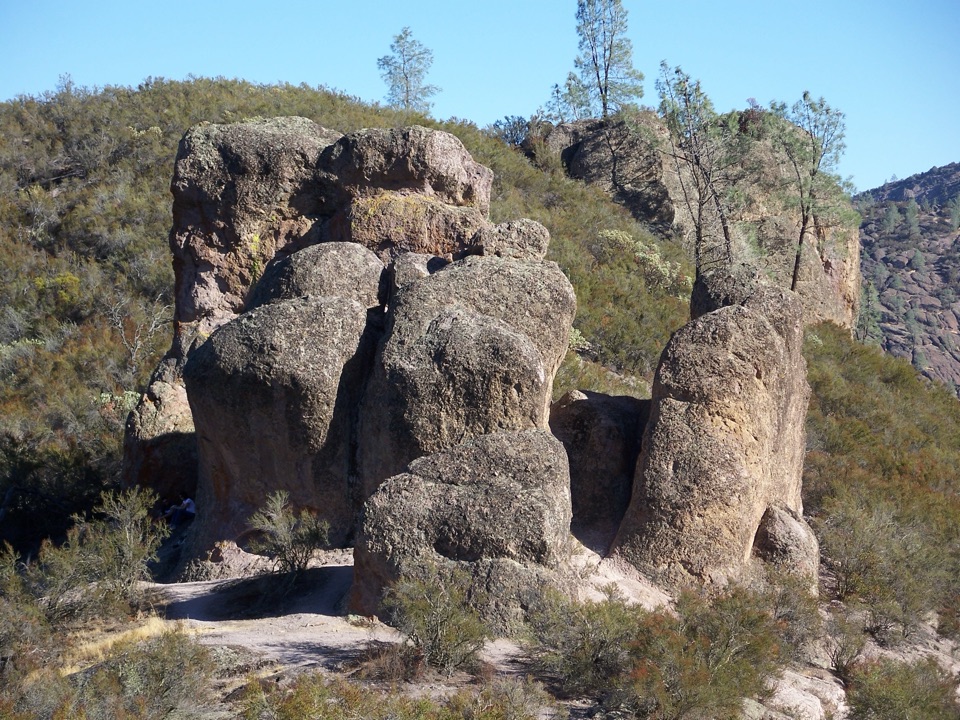
The High Peaks climbMost of the work comes before Blue Oak.

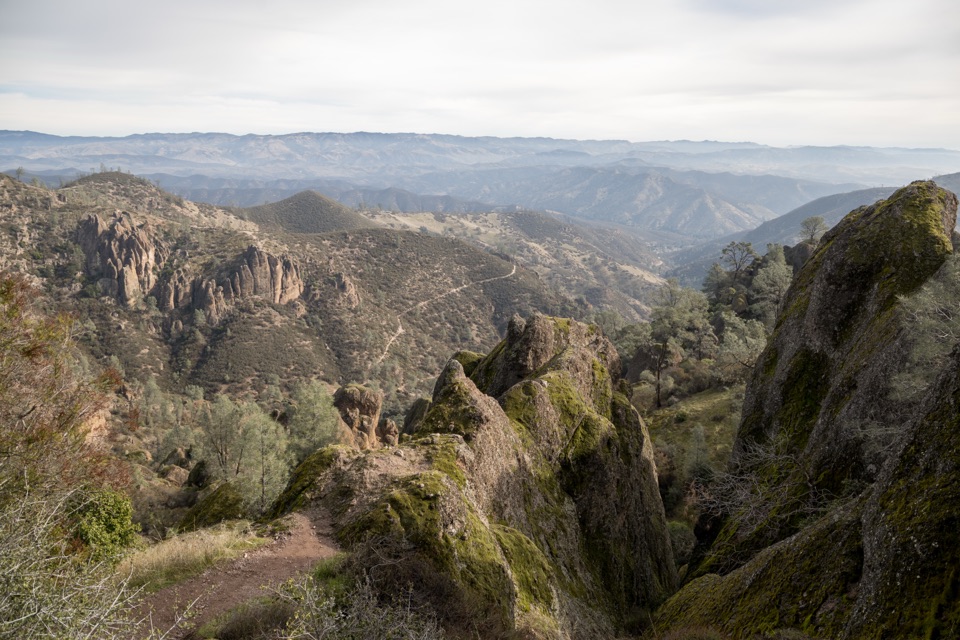
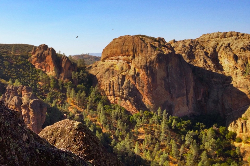
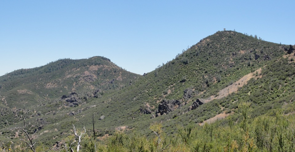
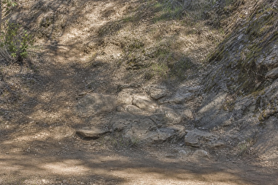
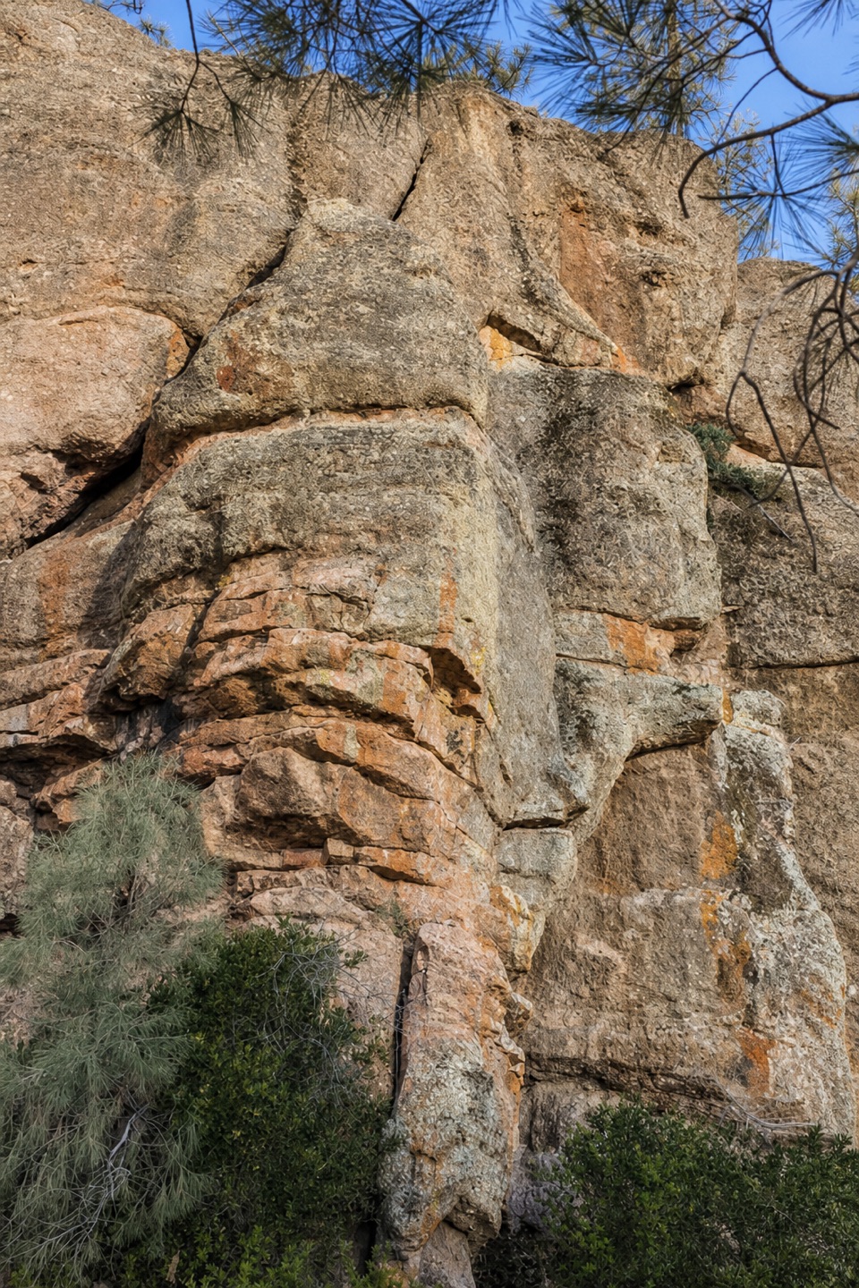
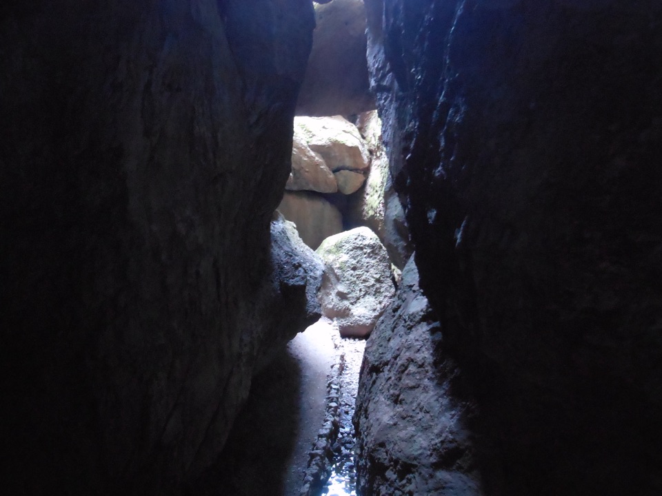
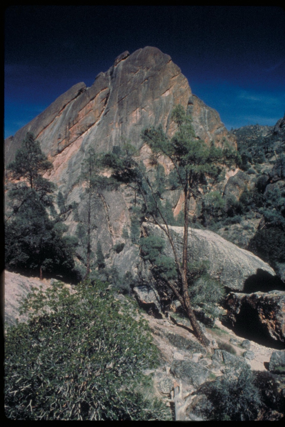
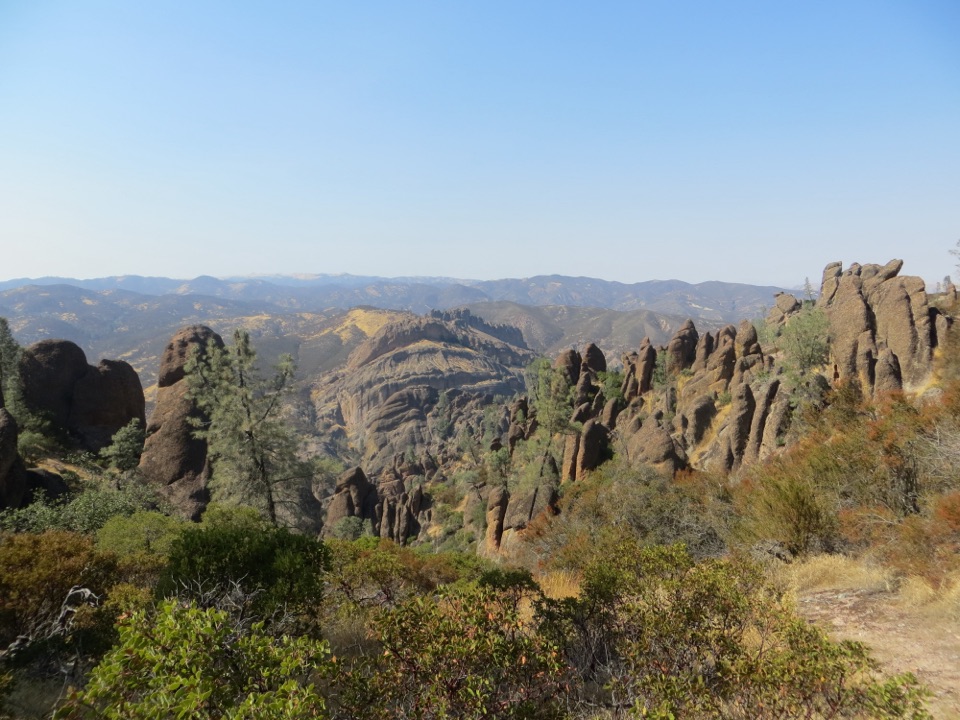
Most of the work comes before Blue Oak. The route climbs roughly 1,425 feet toward the spires, then threads the Steep and Narrow section on rock-cut steps. Some ledges are close to steep drops; rails help through the tightest passages, but this is not the stretch to rush or choose if heights make you uneasy. The views open across the pinnacles and surrounding ridges, and the trail itself is part of the view when the steps wind between the rock walls.

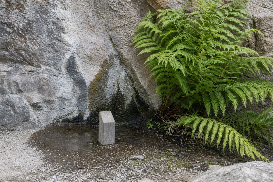
There is no drinking water along the trails. The High Peaks are mostly exposed, and summer temperatures on the ridge can run at least 10 degrees hotter than the parking area. Start in cooler hours and fill up before leaving the developed access area.

Blue Oak and the open ridgeBlue Oak leaves the High Peaks for rolling, grassy slopes.

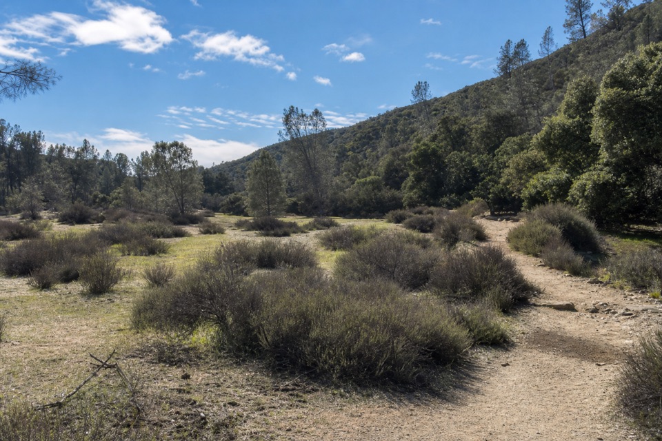
Blue Oak leaves the High Peaks for rolling, grassy slopes. It is a long, sun-baked descent with less shade and less drama underfoot than the narrow ridge, but it keeps the route moving through a different side of Pinnacles. In spring, grasses and wildflowers fill the open meadows. Bitterroot and two-leaved onion grow in the rocky areas; the park's peak bloom period is usually March through May, though rain and temperature shift the timing each year.

Bench and Sycamore back to Bear GulchBench and Sycamore trade the open ridge for a more sheltered return beneath valley oaks,…

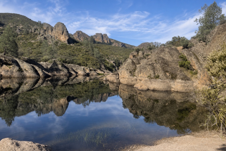
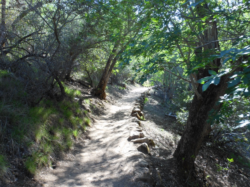
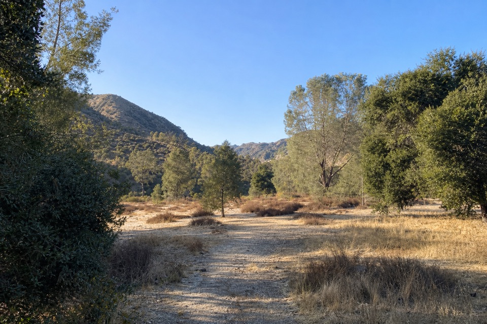
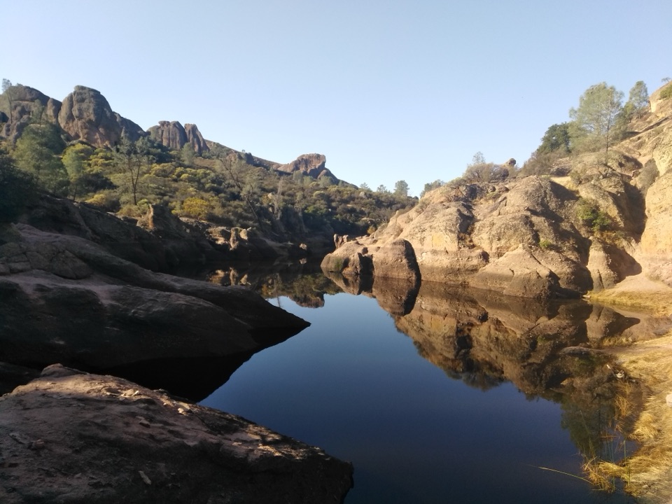
Bench and Sycamore trade the open ridge for a more sheltered return beneath valley oaks, sycamores, and buckeyes. After hours in the sun, this wooded stretch is a welcome change of pace. The loop closes by Bear Gulch; water in the creek is not dependable, so do not count on it as a refill.

How Pinnacles got hereThese rocks began as a volcanic field about 23 million years ago near present-day Lancaster,…

These rocks began as a volcanic field about 23 million years ago near present-day Lancaster, roughly 195 miles southeast of the park. Movement along the San Andreas Fault carried the formation north on the Pacific Plate. Water and wind have since weathered the fractured rock into the towers and narrow passages you walk among today.

Access and the optional caveMoses Spring Parking Area is the nearest lot to the trailhead, but it has only 10 spaces.

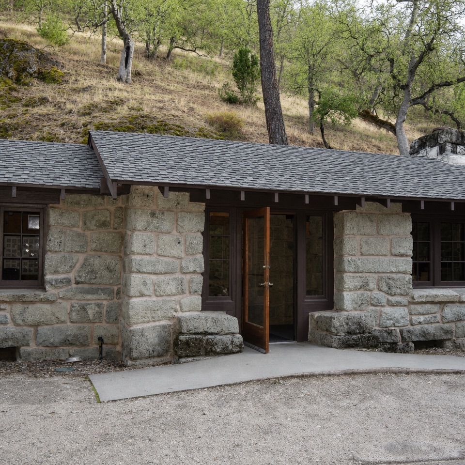
Moses Spring Parking Area is the nearest lot to the trailhead, but it has only 10 spaces. Bear Gulch Day Use Area has 64 spaces, restrooms, drinking water, and the Nature Center; its lot can fill early. There is no separate hiking or parking fee, but park admission applies. No reservation is required. Pets are not allowed on park trails; service animals are permitted.

Bear Gulch Cave is seasonal and may close during winter flooding or for bat protection. Check the park's current cave status before adding it; the stored route and 6.7-mile distance do not include the cave detour.

Wildlife

Wildlife in Pinnacles

All Pinnacles wildlife maps

Sighting maps show where each species has been reported across Pinnacles. Wildlife moves, so no sighting is guaranteed.

Keep exploring

Near High Peaks to Bear Gulch Loop

See it all on the map

Trails that start nearby

Places near the trailhead

Parkwolf’s Pinnacles ranking

Top-rated trails in Pinnacles

All 25 trails
  1. 1Condor Gulch to High Peaks LoopChallenging · 5.3 mi
  2. 2Moses Spring to Rim Trail LoopModerate · 2.2 mi
  3. 3Juniper Canyon Trail LoopChallenging · 4.3 mi
  4. 4Balconies Cliffs-Cave LoopModerate · 2.4 mi
  5. 5High Peaks to Balconies Cave LoopChallenging · 8.4 mi
  6. 7Prewett Point TrailEasy · 1 mi

Take Parkwolf to Pinnacles.

The audio tour guide for the drive, plus offline maps, trails, and wildlife heatmaps for when the signal drops.

4.7 from 8,600+ ratings

Download Parkwolf on the App StoreGet Parkwolf on Google Play