Prewett Point Overlook in Pinnacles National Park

#4 of 14 sights in Pinnacles

Sight · Pinnacles National Park

Prewett Point Overlook

A gentle walk to a broad overlook over volcanic spires

Type
Sight
Nearest trail
0.1 mi
Audio stories
3 nearby
  • Scenic viewpoint
  • Trailhead
  • Parking

Hear the audio tour

Prewett Point from the Contact Station

Overview

About Prewett Point Overlook

Why stop

  • A gentle, accessible approach opens onto Pinnacles formations and the Hain Wilderness.

Heads up

  • The exposed trail has little shade during the hottest part of the day.

Map

Where it is

Loading the Pinnacles map
Full map
SightPrewett Point Overlook36.48150, -121.22270
Keep this map with you offline in the Parkwolf app

Plan your stop

Before you go

2 active Pinnacles alerts

  • CautionVery high fire danger restrictionsVery high fire danger is active at Pinnacles; follow these restrictions to reduce wildfire risk. - Do not use wood-burning fires or charcoal grills.Official details
  • CautionHot conditions and heat alertHot conditions and a heat alert are active at Pinnacles; limit strenuous hiking to early morning and late evening and prepare for extreme heat.Official details

Pinnacles alerts
A park ranger sits on a dash-mounted phone, talking, as Parkwolf’s Tour Guide plays “Army Cutworm Moths: A Grizzly Bear Buffet” on Grand Loop Road below Dunraven Pass in Yellowstone
Parkwolf Tour GuideThe highest, rockiest slopes around here are a summer buffet for grizzly bears.

Pinnacles Tour Guide

Your drive to Prewett Point Overlook, narrated.

Parkwolf is a GPS audio tour guide for Pinnacles National Park. As you drive, it chimes in with what’s ahead: hidden gems, upcoming stops, history, geology, and wildlife, right through your car’s speakers.

Recorded for this place

Prewett Point from the Contact Station
0:00 / 0:25
“You're approaching the West Visitor Contact Station, where the walk to Prewett Point begins. This is my pick for a broad look at the High Peaks and Balconies Cliffs without a strenuous climb.”

Plays as you drive up to Prewett Point Overlook in the Parkwolf Pinnacles Tour Guide.

More stories near here in the app

  • The Woodpeckers’ Acorn Pantry
  • Chaparral and Balconies Cave
  • Bear Gulch Cave and Reservoir
  • Bear Gulch to High Peaks
  • 12 audio storiesacross Pinnacles’s roads, triggered by GPS as you drive
  • Wildlife heatmapsfor California Condor, Mule Deer, Chipmunk, and 13 more
  • Works offlinemaps, 25 trails, 23 places, and audio download before you lose signal
  • CarPlay readysimple controls built for the drive
★★★★★
“Fantastic app with many points of information… It’s great to just turn on while you’re driving and it gives you an audio tour of the national Park. We love it!!!!”
JMJamesApp Store review
Download Parkwolf on the App StoreGet Parkwolf on Google Play

4.7 from 8,600+ ratings

Guide

More about Prewett Point Overlook

A short walk to the biggest overlookPrewett Point Overlook is the largest viewpoint on a short, gentle loop from the West Visitor…

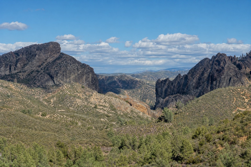
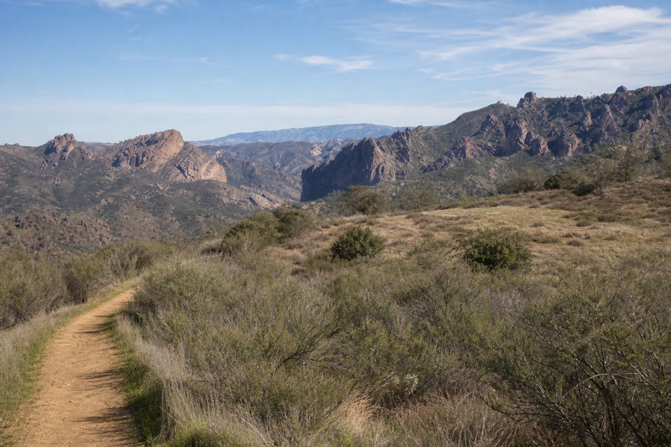
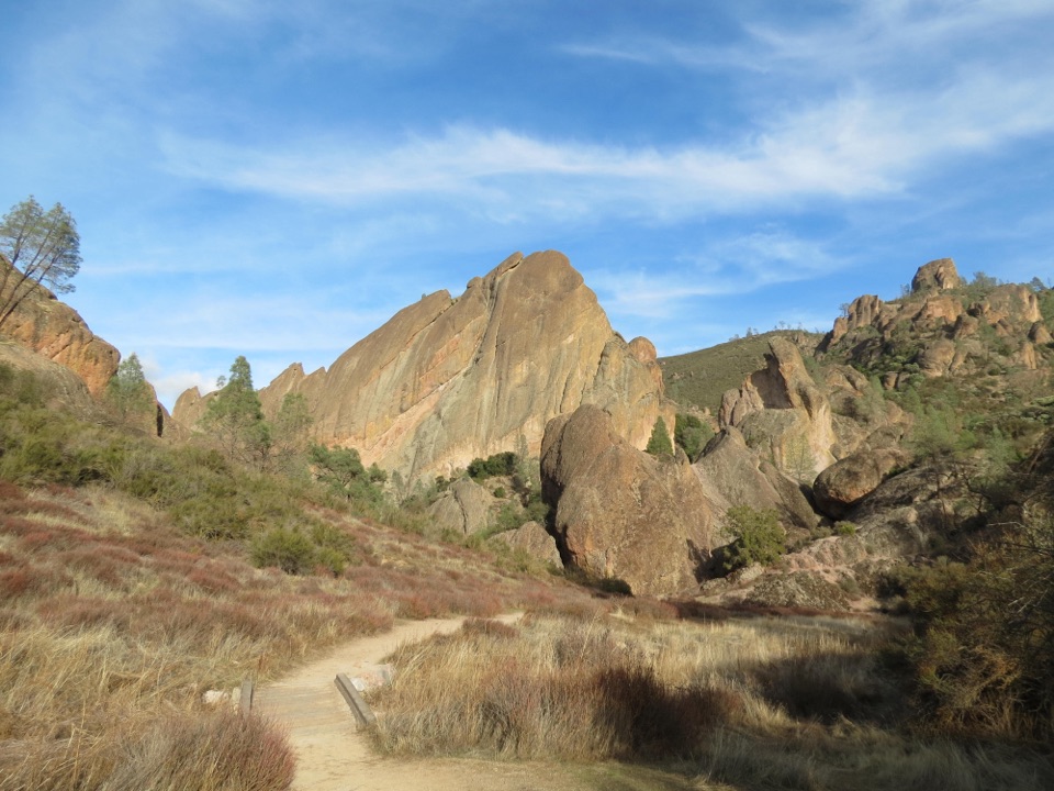
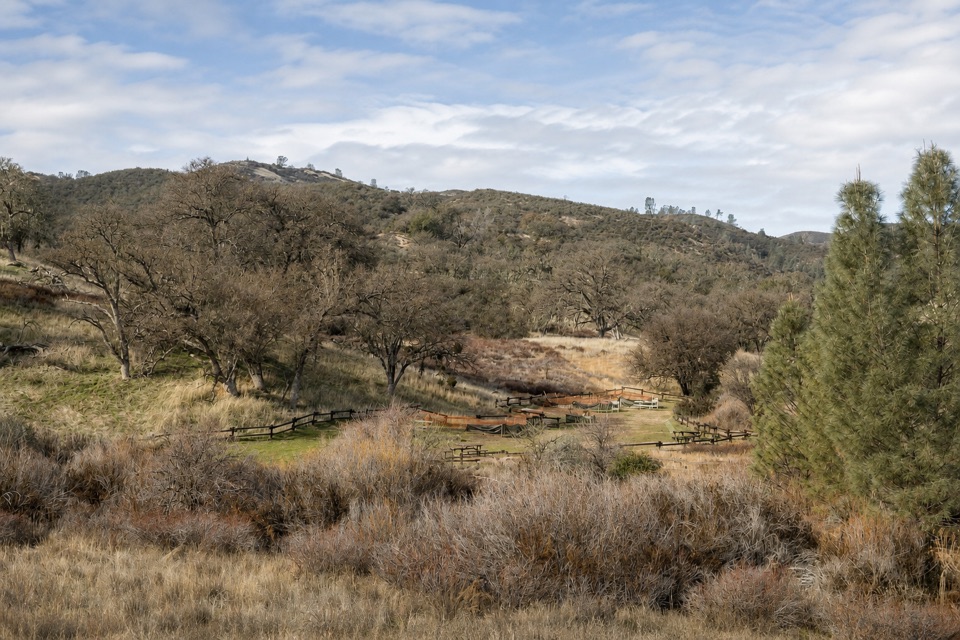
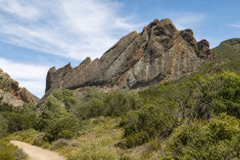
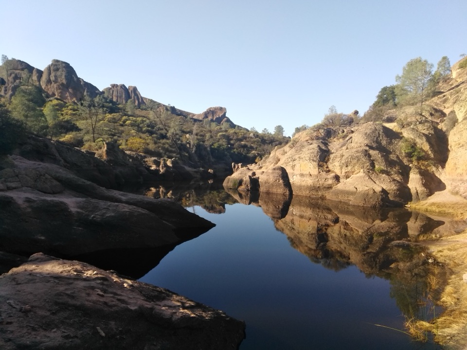
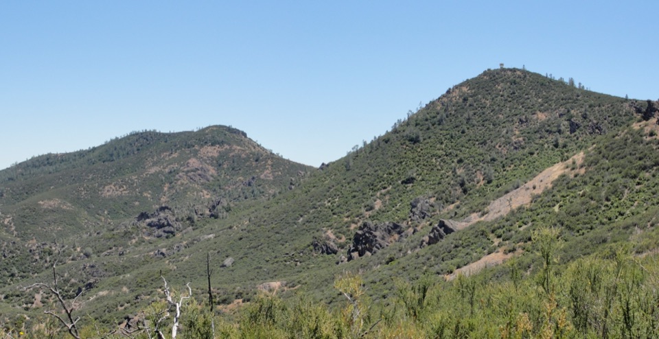
Prewett Point Overlook is the largest viewpoint on a short, gentle loop from the West Visitor Contact Station. It looks across Pinnacles’ jagged volcanic formations toward the Hain Wilderness. The overlook is about 0.4 mile from the contact station, so you can reach the view without finishing the full loop.

Choose the wider approachThe full loop is 0.9 mile round trip, with about 70 feet of climbing; allow 30 to 60 minutes.

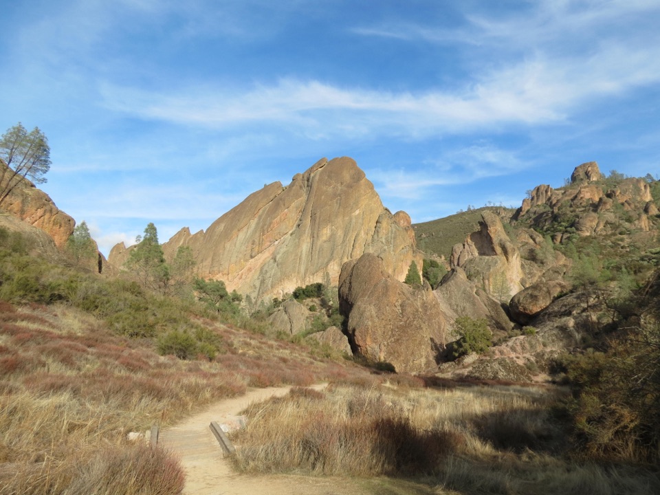
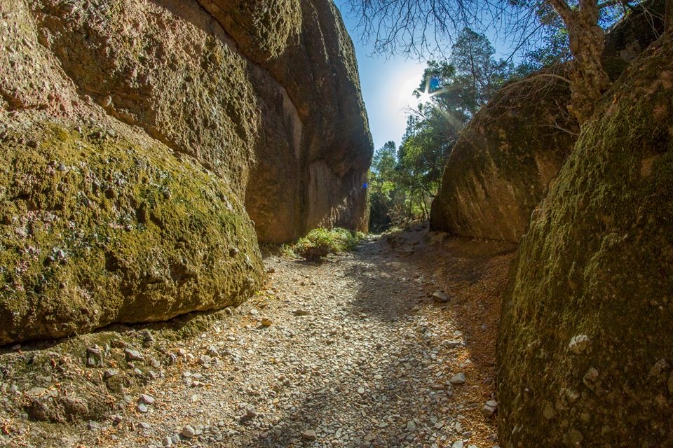
The full loop is 0.9 mile round trip, with about 70 feet of climbing; allow 30 to 60 minutes. The stabilized dirt path to the overlook is about five feet wide. Beyond it, the loop continues on a narrower stretch. If you want to stay on the wider tread, turn around at the viewpoint and return the way you came. The approach is listed as accessible for wheelchairs and mobility devices.

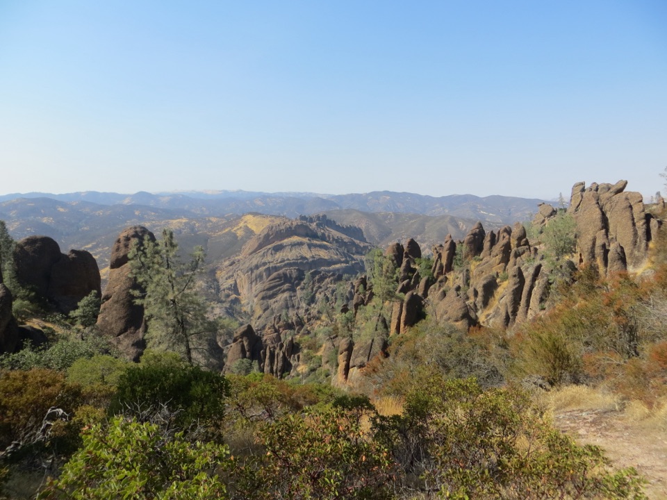
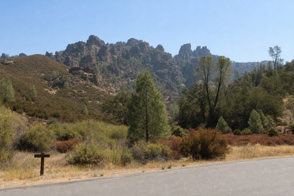
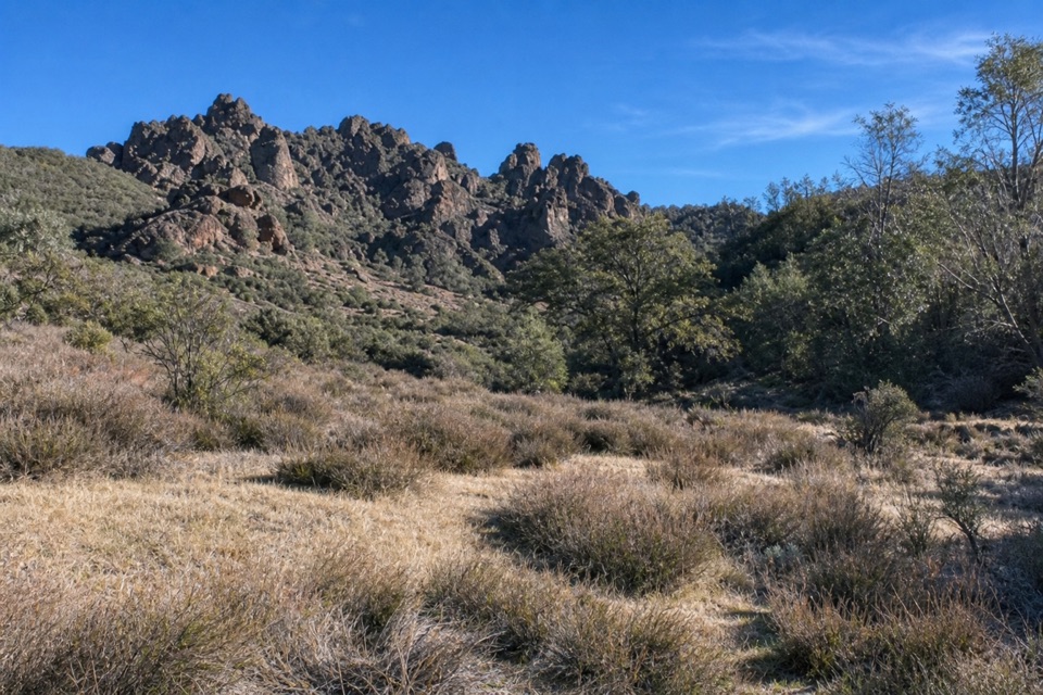
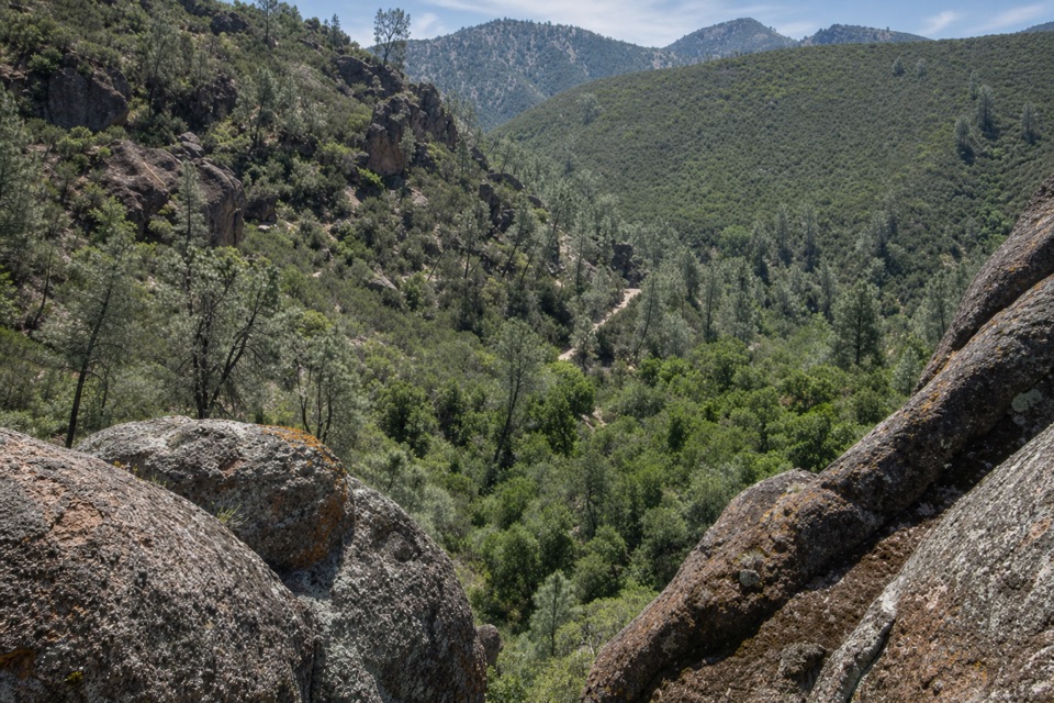
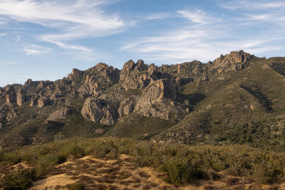
Take in the whole ridgeThe payoff is a long look across Pinnacles’ rock formations and the Hain Wilderness.

The payoff is a long look across Pinnacles’ rock formations and the Hain Wilderness. For a photo, keep the jagged skyline together and include some of the chaparral-covered slope below it; that foreground gives the distant pinnacles a sense of scale.

The rocks traveled a long wayThese formations began as part of a volcanic field about 23 million years ago, near present-day…

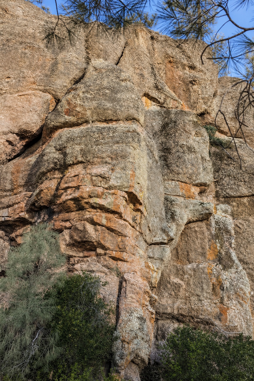
These formations began as part of a volcanic field about 23 million years ago, near present-day Lancaster, roughly 195 miles southeast. Movement along the San Andreas Fault carried the rocks north, and water and wind gradually carved the volcanic material into the broken towers you see from the overlook.

Plan around the sunThere’s little shade, and the exposed trail can bake in late morning and afternoon.

There’s little shade, and the exposed trail can bake in late morning and afternoon. Summer heat is the main reason to time this walk carefully: the park warns against hiking during the hottest part of the day, roughly 10 a.m. to 4 p.m. There’s no water along the trail, so fill up in a developed area before setting out.

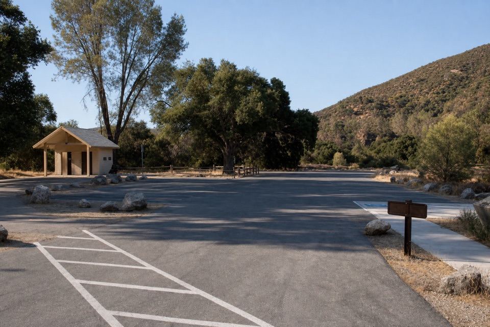
Start on the west sideBegin at the West Visitor Contact Station parking area.

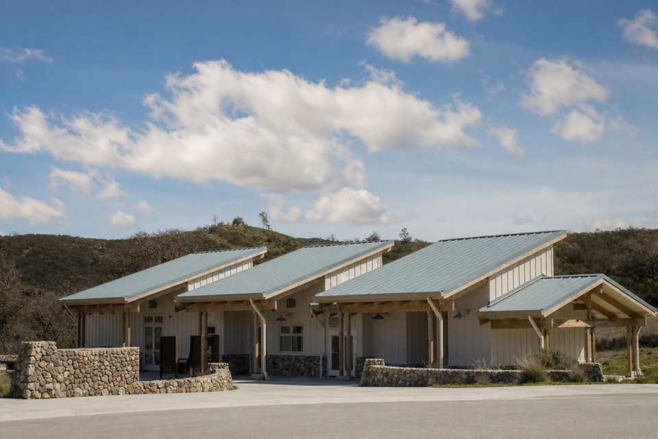
Begin at the West Visitor Contact Station parking area. The station has exhibits, information, a film, and a bookstore. No food stop has been identified at the overlook or along the trail, so plan that separately. From U.S. 101, the west entrance route uses Metz Road and CA 146/Chaparral Road; that road is steep and narrow, and large RVs and trailers should use the other entrance.

Wildlife

Wildlife in Pinnacles

All Pinnacles wildlife maps

Sighting maps show where each species has been reported across Pinnacles. Wildlife moves, so no sighting is guaranteed.

Keep exploring

Near Prewett Point Overlook

See it all on the map

Trails nearby

More stops nearby

Parkwolf’s Pinnacles ranking

Top sights in Pinnacles

All 23 places
  1. 1Bear Gulch ReservoirSight
  2. 2Bear Gulch CaveSight
  3. 3Balconies CaveSight
  4. 5Condor Gulch OverlookSight
  5. 6North Chalone PeakSight
  6. 7Peaks View Parking AreaSight

Take Parkwolf to Pinnacles.

The audio tour guide for the drive, plus offline maps, trails, and wildlife heatmaps for when the signal drops.

4.7 from 8,600+ ratings

Download Parkwolf on the App StoreGet Parkwolf on Google Play