Parking
A very short paved shoulder on the west side of Highway 1, opposite the trailhead on the east. Park completely out of the travel lane and cross the highway carefully.
Point Reyes National Seashore, CA
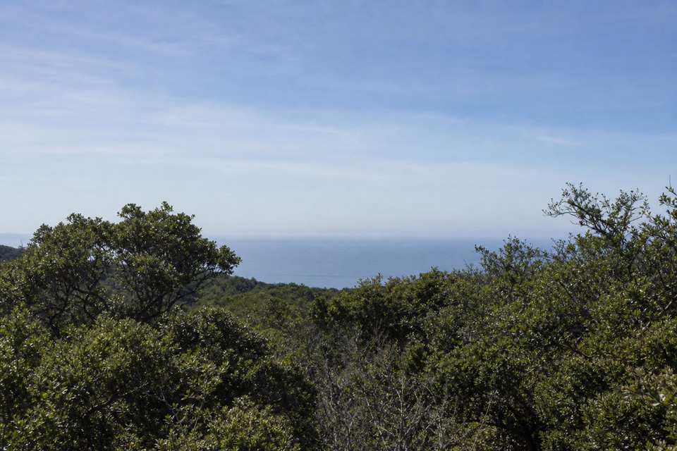
Climb through pasture, redwoods and chaparral to Bolinas Ridge.
Overview
Map & elevation
Plan your hike

The highest, rockiest slopes around here are a summer buffet for grizzly bears.
Point Reyes Tour Guide
Parkwolf is a GPS audio tour guide for Point Reyes National Seashore. As you drive, it chimes in with what’s ahead: hidden gems, upcoming stops, history, geology, and wildlife, right through your car’s speakers.
Recorded for this area
Why the Radio Stations Stood Apart“Long-distance radio had a local problem: a powerful transmitter could drown out a faint incoming signal. So in 1914, Marconi built a sending station at Bolinas and placed the receiver near Marshall on Tomales Bay.”
Plays on the road 0.3 mi from the trailhead in the Parkwolf Point Reyes Tour Guide.
More stories near here in the app
“Fantastic app with many points of information… It’s great to just turn on while you’re driving and it gives you an audio tour of the national Park. We love it!!!!”


Trail guide
McCurdy Trail is a 4-mile out-and-back from Highway 1 to the Bolinas Ridge Trail. The 2-mile climb gains about 1,300 feet on an old ranch and fire road; it’s a strenuous choice for a short day, with a more varied landscape than the mileage suggests. The finish is a junction with Bolinas Ridge, not a summit.
The route rises almost continuously from grassy pasture, through a stand of coast redwoods and drier manzanita, then into fir forest near the ridge. Brush can crowd this old road, and the grade stays steep. Views back toward forested ridges and the ocean open along the climb; turn around to catch them as you go.
Allow about 2 to 3 hours round trip. Parking is a very short paved shoulder on the west side of Highway 1, across from the trailhead on the east; get completely out of the travel lane and cross carefully. No restroom is reported at the trailhead. Dogs are allowed on a leash shorter than six feet; bicycles and horses use the same route.
Wildlife
 2,552 sightingsNorthern Elephant SealMost seen around 11 AMSighting map
 127 sightingsGrey WhaleMost seen around noonSighting map
 109 sightingsHumpback WhaleMost seen around 10 AMSighting map
 29 sightingsSteller Sea LionMost seen around noonSighting map
 203 sightingsCalifornia Sea LionMost seen around noonSighting map
 352 sightingsHarbor SealMost seen around 7 AMSighting map
Sighting maps show where each species has been reported across Point Reyes. Wildlife moves, so no sighting is guaranteed.
Keep exploring
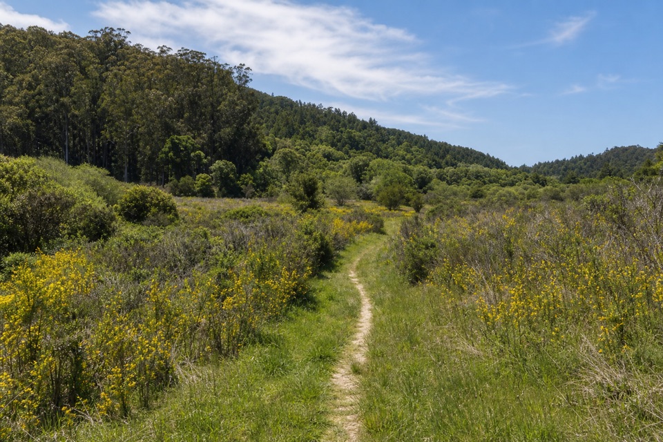 ChallengingPablo Point Trail5.4 mi · 4 hr · At the trailheadA 5.4-mile out-and-back to an unmaintained meadow spur.
 ModerateRidge Trail6.2 mi · 4 hr · 1.8 mi awayA long shaded ridge walk that ends away from its start.
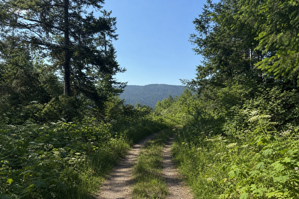 ChallengingRandall Trail3.4 mi · 2.5 hr · 2.1 mi awayClimb through pasture and redwoods to Bolinas Ridge
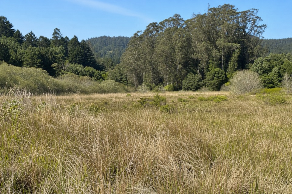 ChallengingRandall–Bolinas Ridge–McCurdy–Olema Valley Loop8.6 mi · 4.5 hr · 2.1 mi awayA strenuous loop links ridge views with a creek-crossing valley return.
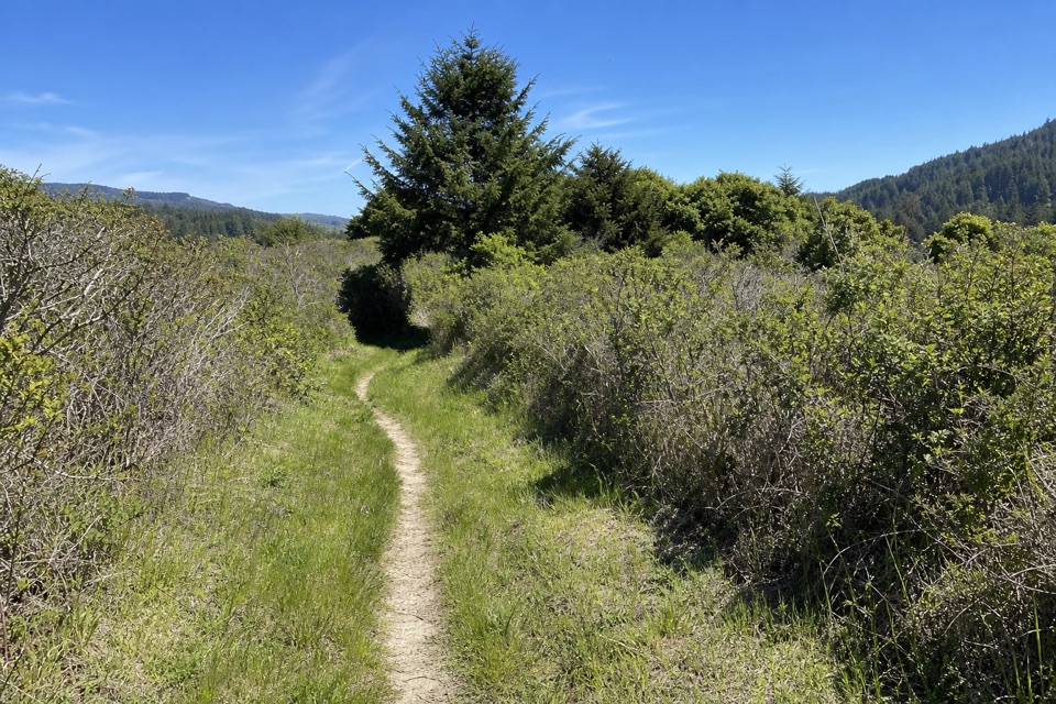 ChallengingOlema Valley–Teixeira–Ridge–Bolema Loop10.1 mi · 5 hr · 2.1 mi awayA strenuous 10.1-mile loop across Olema Valley and Inverness Ridge
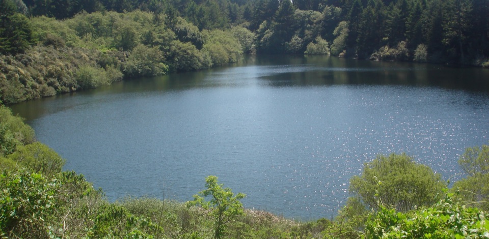 ModerateBass Lake via Coast Trail5.7 mi · 3 hr · 2.3 mi awayBluff-top surf views lead inland to a small lake.
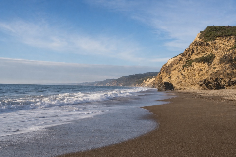 ModerateWildcat Beach via Coast Trail11 mi · 5.5 hr · 2.3 mi awayA long coastal hike to a wild beach and back.
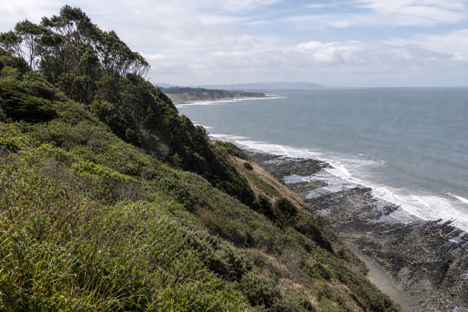 ModerateCoast–Lake Ranch–Ridge Loop11.1 mi · 6 hr · 2.3 mi awayOcean cliffs, a forest pond and a quieter ridge in one day
 Sight · 4.1 mi awayAlamere FallsA 40-foot cascade spilling over coastal cliffs onto a wilderness beach
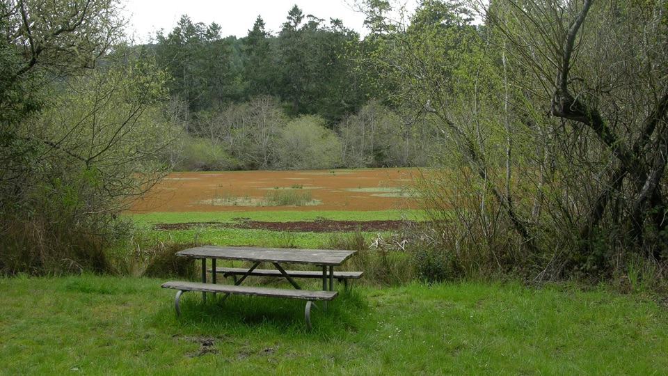 Picnic area · 4.4 mi awayFive Brooks Picnic AreaSix trailside tables, some beside an abandoned mill pond
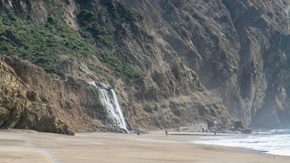 Beach · 4.7 mi awayWildcat BeachRemote 2.9-mile beach with Alamere Falls dropping onto the sand
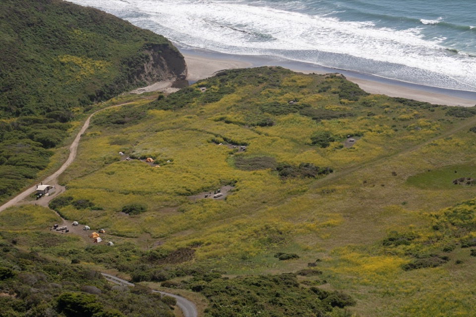 Campground · 4.8 mi awayWildcat CampgroundHike-in bluff meadow above the surf, a mile from Alamere Falls
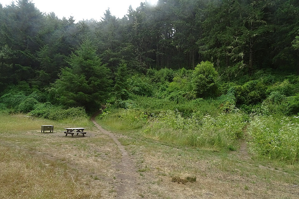 Campground · 5.2 mi awayGlen CampgroundQuiet wooded valley camp, 4.6 miles in, no ocean view
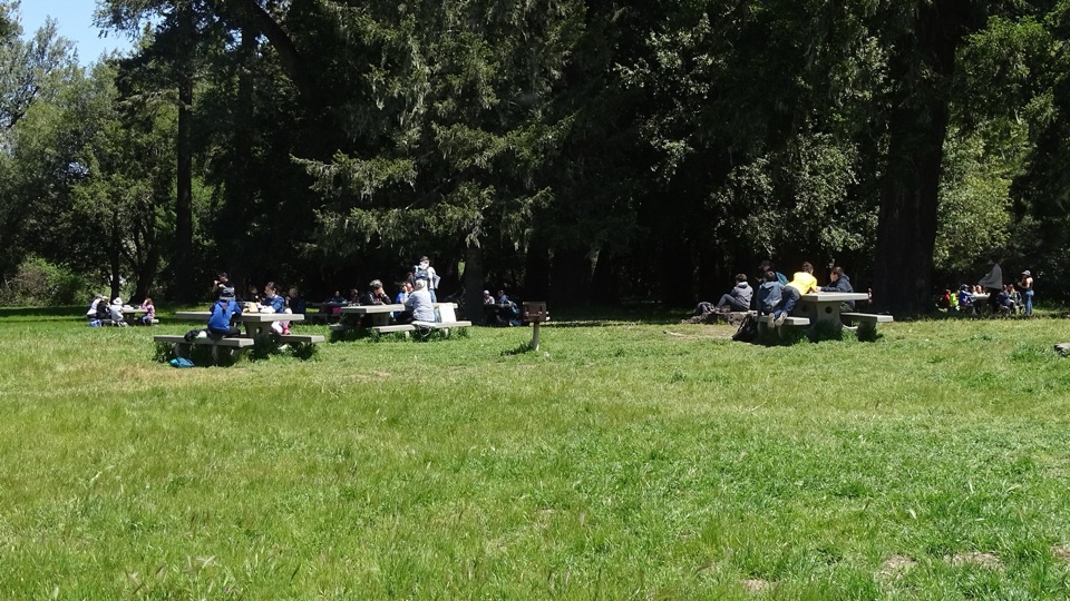 Picnic area · 8.2 mi awayBear Valley Picnic AreaTwenty-five shaded tables, charcoal grills, and room for big groups
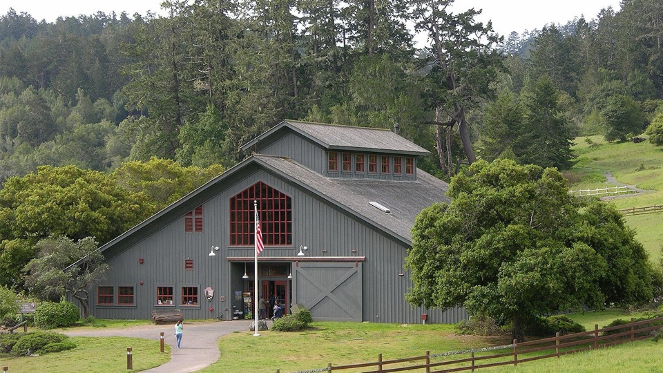 Visitor center · 8.2 mi awayBear Valley Visitor CenterBarn-style orientation hub where a life-size elephant seal greets you
 Sight · 8.2 mi awayMorgan Horse RanchWorking park horses and ranch history on a short hillside walk
Parkwolf’s Point Reyes ranking

The audio tour guide for the drive, plus offline maps, trails, and wildlife heatmaps for when the signal drops.





