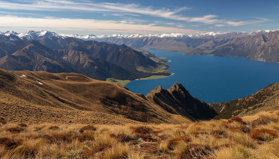
Parking
Park at the Greenstone carpark, about 1 hour from Glenorchy via Kinloch and Greenstone Station Road. The final gravel road has several fords and may be impassable after heavy rain.
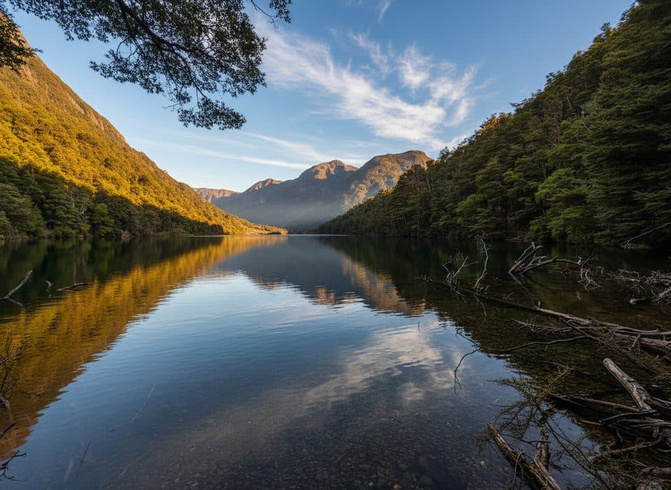
Queenstown-Lakes District, New Zealand, OT
Varied loop to a quiet lake via farms, beech and river gorges
Overview
A classic Otago day loop, the Lake Rere circuit strings together open farm flats, red and mountain beech forest, creeks and waterfalls, a quiet picnic-ready lakeshore, and a dramatic Greenstone River finish. It is a 14.3 km total loop (about 8.9 miles) that typically takes 4–6 hours, with moderate climbs and rougher sections. Expect mud after rain, unbridged streams, and an active slip on the western part of the track. If you like variety and a dash of history, it is a satisfying, under-the-radar outing.
Map & elevation
Plan your hike

The highest, rockiest slopes around here are a summer buffet for grizzly bears.
Queenstown-Lakes District Tour Guide
Parkwolf is a GPS audio tour guide for Queenstown-Lakes District, New Zealand. As you drive, it chimes in with what’s ahead: hidden gems, upcoming stops, history, geology, and wildlife, right through your car’s speakers.
See the Queenstown-Lakes District audio tourRecorded for this trailhead
Greenstone Car Park: A Tale of Two Hikes“You're getting close to the Greenstone Car Park, the main trailhead at the end of the road. This spot is the beginning of two very different hikes.”
Plays as you drive up to this trailhead in the Parkwolf Queenstown-Lakes District Tour Guide.
More stories near here in the app
“Fantastic app with many points of information… It’s great to just turn on while you’re driving and it gives you an audio tour of the national Park. We love it!!!!”


Trail guide
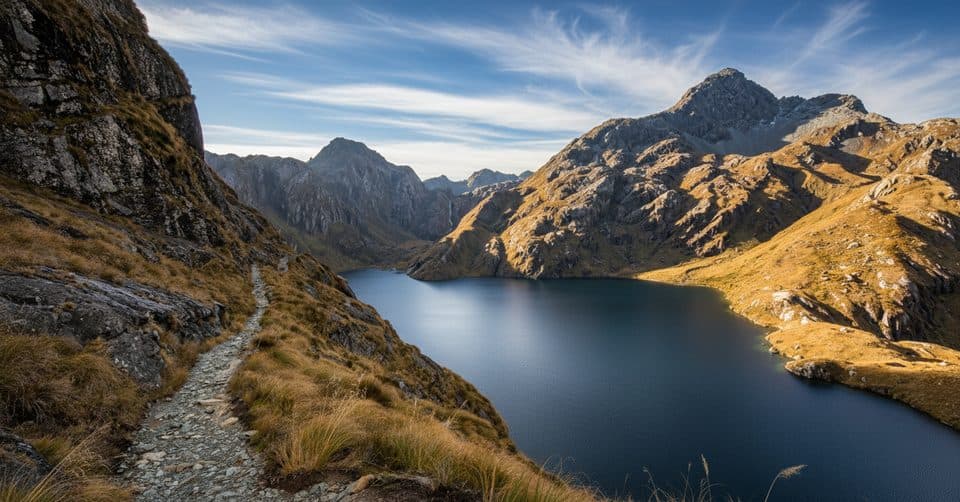
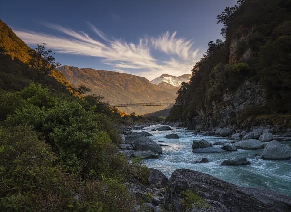
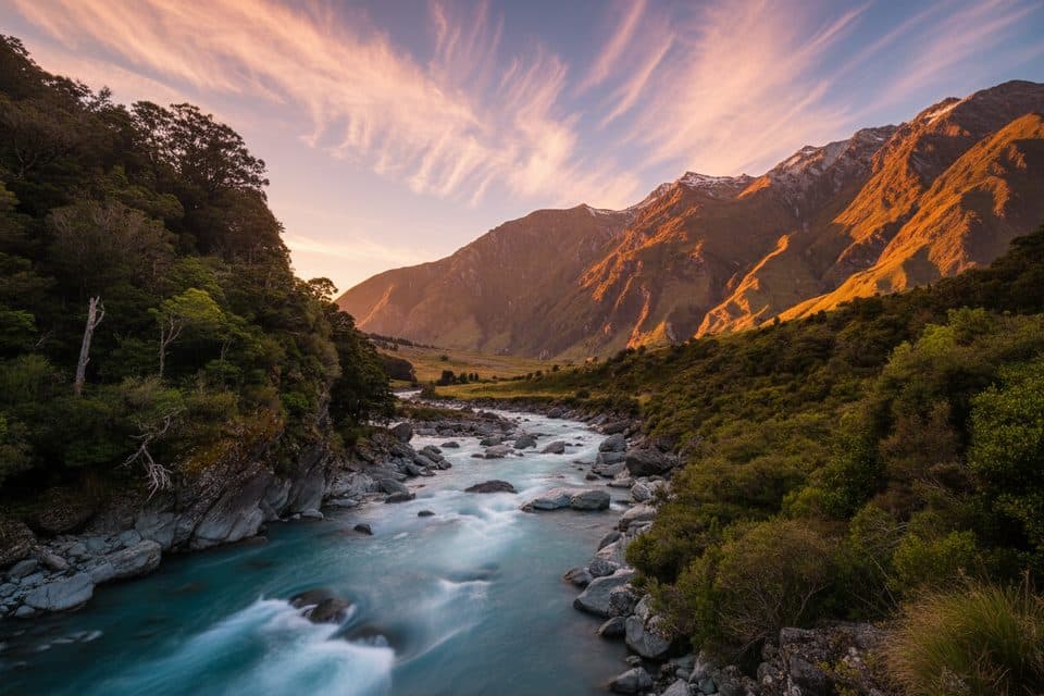
From the Greenstone carpark, cross the bridge and follow the marked route across Greenstone Station paddocks for roughly an hour with easy walking and wide views toward the Richardson Mountains. A short, steep drop reaches Elfin Bay on Lake Wakatipu, the old steamer landing for 19th-century day-trippers (once called Sandfly Bay). From the bay, an initially steep climb through red beech beside a lively stream with waterfalls and boulders reaches Lake Rere. The lake's west end opens to grass—an ideal picnic spot on a warm day, with Tooth Peak visible to the south. Continue west and down through pasture, scrub and forest, cross the rocky stream, and take care at the large active slip near Stock Bridge. Finish by following the Greenstone River, crossing the required bridges to join the Greenstone Track through beech forest ravines and waterfalls, then return to the start of the Lake Rere Walk and carpark.
Moderate overall because of the distance, steep sections, unbridged streams, farmland, and active slip. The track can be muddy and rooty, and streams become hazardous after heavy rain. Stock may be on the paddocks. Sandflies can be persistent at lake and river level—take repellent and consider breaks in shaded forest.
Lake Rere and Elfin Bay were popular late-19th-century picnic destinations, reached by steamboat from Queenstown. Some of today's benched sections echo early tourist routes and shelved ambitions for a road up the Greenstone Valley toward Milford.
You will walk through red and mountain beech with South Island birdlife, including tomtit, fantail, rifleman, brown creeper, and South Island robin. The Queenstown-Lakes landscape is dominated by schist shaped by ice and rivers, with valley floors mantled by younger gravels and tills.
Access is via Glenorchy–Paradise Road, Kinloch Road, then the gravel Greenstone Station Road to the Greenstone carpark, about an hour from Glenorchy. The final stretch includes several fords and may be impassable after rain. Carry layers, sturdy waterproof footwear, poles for stability in streams, and a way to treat water. Respect farm etiquette—stick to markers and leave gates as you find them.
Wildlife
 189 sightingsKeaMost seen around 5 PMSighting map
 18 sightingsKākāMost seen around 6 PMSighting map
 195 sightingsKererūMost seen around 10 AMSighting map
 48 sightingsWekaMost seen around 6 PMSighting map
 239 sightingsTūīMost seen around 8 AMSighting map
 97 sightingsBellbirdMost seen around 6 AMSighting map
Sighting maps show where each species has been reported across Queenstown-Lakes District. Wildlife moves, so no sighting is guaranteed.
Keep exploring
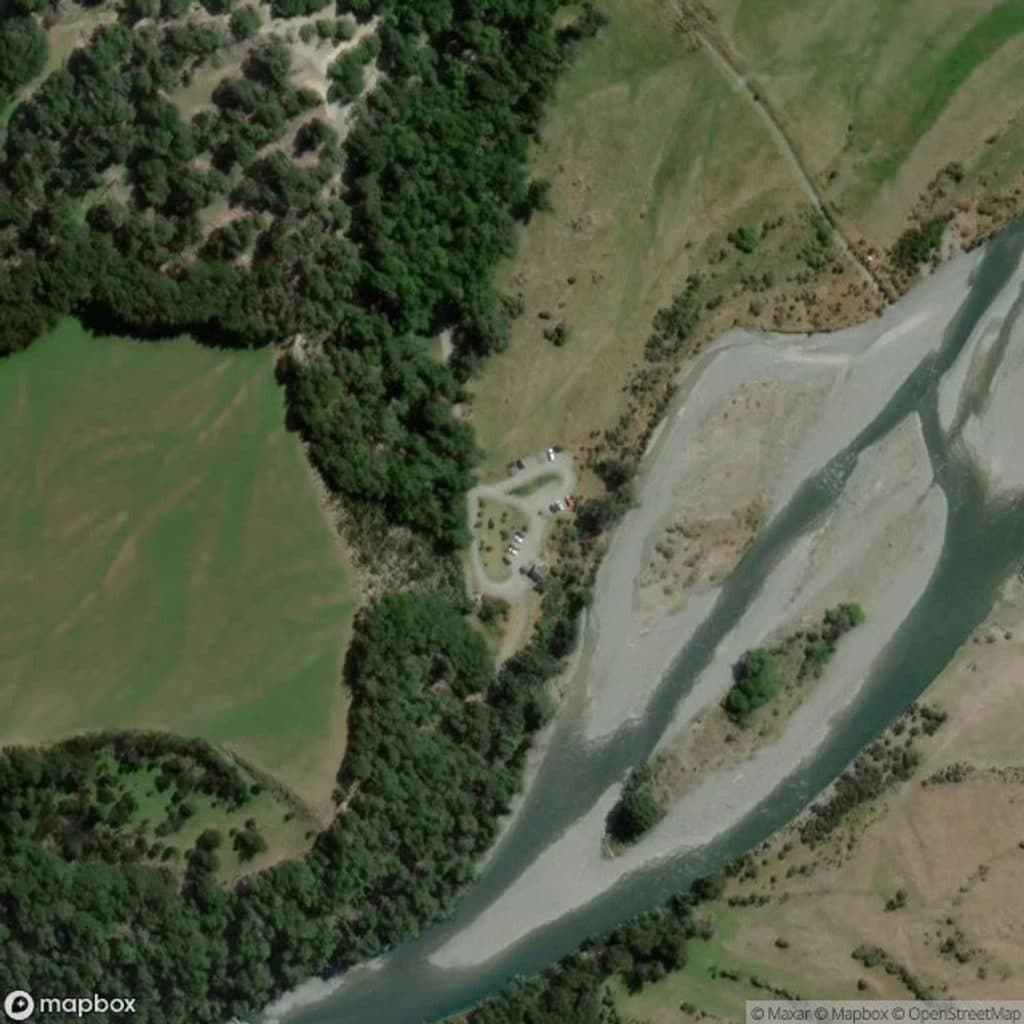 ModerateGreenstone–Caples Circuit61 km · 18.5 hr · At the trailheadQuieter four day loop over McKellar Saddle with hut to hut comfort
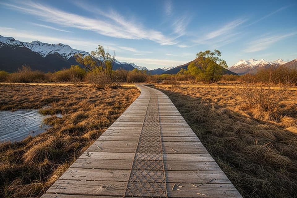 EasyGlenorchy Walkway5.5 km · 1.5 hr · 9.8 km awayFlat wetland loop with boardwalks, birdlife, and mirror-like mountain reflections.
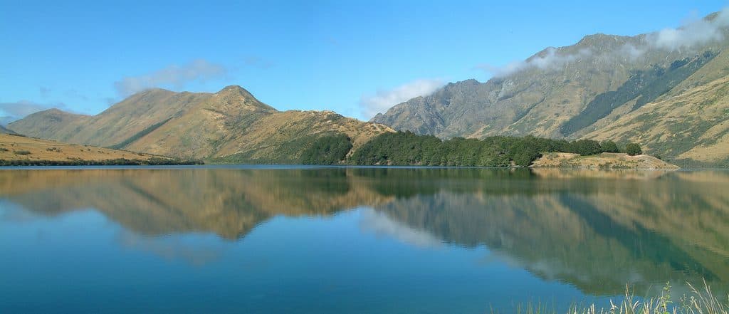 EasyMoke Lake Loop6.3 km · 2.5 hr · 19.4 km awayUndulating loop around an alpine lake near Queenstown
 EasyBob's Cove Track3.9 km · 1 hr · 19.9 km awayEasy 3.9 km out-and-back from the Glenorchy–Queenstown Road to Bob's Cove and Picnic Point
 EasyMount Crichton Loop Track7.2 km · 2.5 hr · 21.1 km awayA well-formed loop through beech forest with a waterfall, gold-mining history, and Lake Dispute views near Queenstown
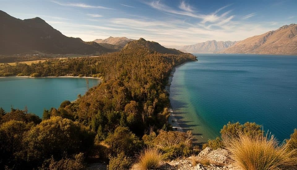 EasyBob’s Cove to Twelve Mile Delta Track6 km · 1.8 hr · 21.5 km awayA 6 km lakeside link from Twelve Mile Delta to Bob’s Cove.
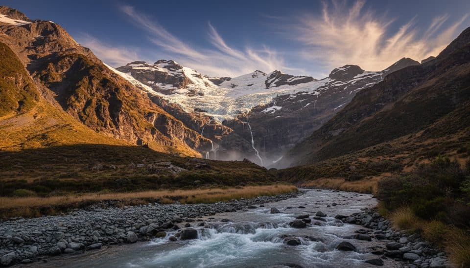 ChallengingEarnslaw Burn Track16.6 km · 10.5 hr · 22.1 km awayA rough, technical tramp to an icefall viewpoint in a glacier-carved valley
 Sight · 9.6 km awayGlenorchy WharfClassic wharf and red shed framed by big mountains
 Sight · 9.6 km awayGlenorchy Red ShedIconic lakeside shed with big-mountain backdrops and simple history displays
 Lodging · 9.8 km awayThe Headwaters Eco LodgeEco-luxe base with standout garden-to-table dining in Glenorchy
 Campground · 9.8 km awayMrs Woolly’s CampgroundCentral Glenorchy campground with powered sites and a great kitchen
 Sight · 10 km awayGlenorchyGateway hamlet to big-mountain hikes and wild fiordland scenery
 Sight · 10.7 km awayGlenorchy LagoonFlat boardwalk with mirror views and easy birdwatching
 Sight · 12.9 km awayBennett’s Bluff LookoutClassic Glenorchy road stop for huge lake-and-peak views
Parkwolf’s Queenstown-Lakes District ranking

The audio tour guide for the drive, plus offline maps, trails, and wildlife heatmaps for when the signal drops.