Thunder Lake

High-alpine lake with big Divide views after a stout hike
Thunder Lake, Rocky Mountain National Park
InsideRocky Mountain National Park

Overview

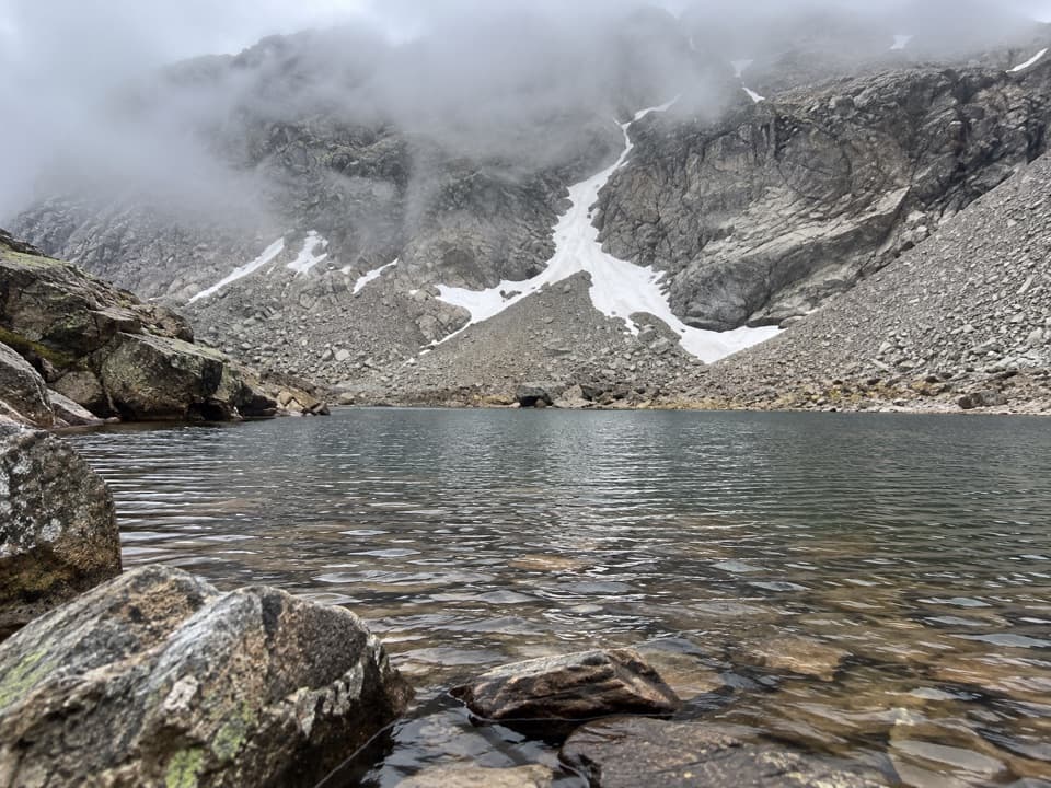
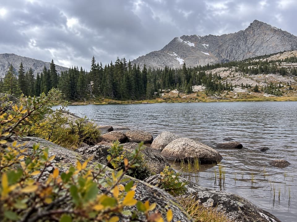
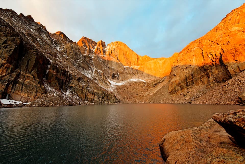
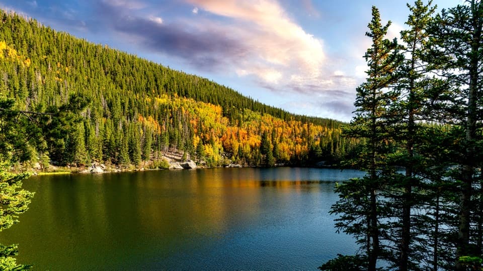
Thunder Lake sits in a glacially carved basin in the Wild Basin corner of the park, a classic high-country destination that feels wild and remote once you crest the final rise. It’s a rewarding alpine lake with wide-open views toward Mount Alice, the Boulder–Grand Pass, and the Divide itself.

Route and Effort

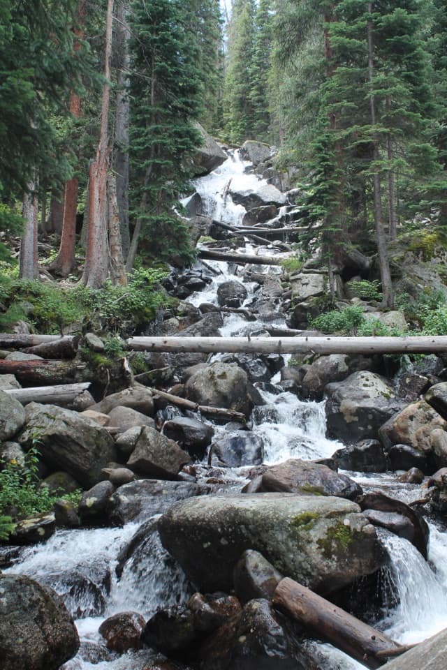
Reaching the lake is a commitment: about 11.7 miles round trip with roughly 2,247 feet of elevation gain from the Wild Basin Trailhead. The trail is well-trodden and scenic, passing cascades and spur paths to falls and designated backcountry sites. Expect a steady climb that can feel stout at altitude; snow often lingers on upper segments into late June, and early-season travel can benefit from traction.

Scenery and Wildlife

This is big-country scenery—peaks like Tanima, Pilot, and Mount Alice frame the basin, and the north side path continues toward Lake of the Many Winds if you’ve got extra gas in the tank. Above treeline you may spot pikas and marmots; lower down, moose are regularly seen near the trailhead area. In summer, wildflowers add color to the upper meadows beyond the lake.

Camping and Regulations

Thunder Lake has designated backcountry campsites right by the water, making it a superb base for exploring the surrounding high country. Fires are not allowed here—bring a stove if you’re cooking. Bear-resistant food storage is required from April 1 through October 31, and dispersed camping isn’t permitted anywhere in the park. Along the approach, there’s a simple privy at the North St. Vrain campsite.

Trail Conditions and Seasonal Factors

Snow can cover higher sections from October into late June, and shaded gullies can stay slick even as summer ramps up. Mid-summer is also prime mosquito season around the lake and camps—pack repellent and long layers. Cell service is unreliable throughout Wild Basin, so download offline maps before you go.

How the Landscape Formed

Thunder Lake’s basin was shaped by ice: glaciers quarried and overdeepened these high valleys, leaving cirques that now hold water. It’s part of a much longer story of slow uplift and relentless erosion that built the Rockies and carved their deep valleys.

Best Time to Visit

  • Late July through September usually offers the firmest, snow-free travel and the least routefinding fuss.
  • Aim for an early start—parking in Wild Basin fills quickly on weekends and peak days, and you’ll appreciate the cooler morning temps for the climb.
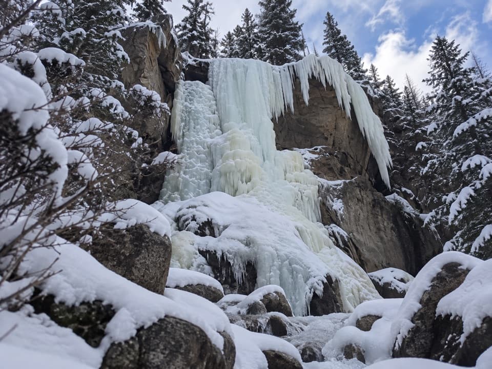
  • Not a great winter objective here; expect significant snow and ice on the upper trail until well into the warm season.

Pros

  • High-alpine basin with big Continental Divide views
  • Backcountry campsites at the lake

Cons

  • Long, strenuous approach (11.7 miles round trip, 2,247 ft gain)
  • Mosquito-heavy in mid-summer; lingering snow into early season

Tips

  • Arrive at the Wild Basin Trailhead early; parking fills fast.
  • Download offline maps—cell service is spotty to nonexistent in Wild Basin.
  • Bring insect repellent for July; mosquitoes are active around the lake.
  • Early season often has snow and ice—pack traction if going before July.
  • If camping, bring a bear canister (Apr 1–Oct 31) and a stove—no fires.
The Parkwolf tour guide sitting on a phone mounted in a car

Parkwolf Tour Guide

Like a tour guide in your car.

Save the places you found around Rocky Mountain, then let Parkwolf guide the drive between them.Download Parkwolf on the App Store