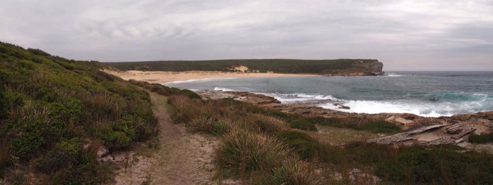
Bundeena to Marley Beaches in Royal National Park

Royal National Park, NSW

Bundeena to Marley Beaches

Two remote beaches after a cliff-top walk through coastal heath.

Photo: Wikimedia Commons
Length
10.6km
Time
3.5hr
Elev. change
66m
Difficulty
Moderate
  • No dogs
  • High point 69 m
  • #11 of 69 in Royal

Hear the audio tour

Bundeena Coast Track to Wedding Cake Rock

Overview

About Bundeena to Marley Beaches

Why go

  • The cliff-top view takes in both beaches before you descend to them.
  • Big Marley’s dunes and lagoon contrast with Little Marley’s rocky cove.

Heads up

  • A rough return includes repeated steep drops and climbs at Water Run.
  • Both beaches are unpatrolled and unsafe for casual swimming.

Map & elevation

The route

Loading the Royal map
Full map
Elevation3–69 m
TrailheadBeachcomber Avenue end / Royal National Park gate, Bundeena-34.09167, 151.15709
Keep this map with you offline in the Parkwolf app

Plan your hike

Before you go

Parking

The nearest start is the Royal National Park gate at the end of Beachcomber Avenue. Local route guidance mentions street parking nearby, but capacity and exact restrictions are not established; check signs and keep driveways clear. Brighton Street or ferry access adds a town connector not included in this distance.


Best time to go

NPWS points to spring for heath wildflowers and June through October for whale watching from the coastal cliffs. Bring drinking water from Bundeena; checked route information lists no water or toilets along this stretch, and there’s no food stop on the track. Bundeena cafés are a separate stop before or after. Dogs aren’t permitted in Royal National Park, apart from certified assistance animals.

Safety

The coastal shelves have exposed drop-offs; stay on the formed track and obey any barriers near Wedding Cake Rock. Water Run has a steep, slippery creek descent and crossing followed by a climb. Big and Little Marley are unpatrolled, with strong currents and steep shore breaks; don’t rely on them as safe swimming beaches. Carry water; no water or toilets are listed along this stretch.

4 active Royal alerts

  • ClosureOvernight closures for deer-control operationsSpecified areas of Royal National Park are closed between sunset and sunrise from Monday to Thursday, excluding school holidays, through 18 December 2026 so NPWS can carry out deer-control operations.Official details
  • ClosureUnauthorised trail between East Heathcote and Waterfall closedThe unauthorised trail between East Heathcote and Waterfall is formally and physically closed; access is not permitted.Official details
See all 4 alerts
A park ranger sits on a dash-mounted phone, talking, as Parkwolf’s Tour Guide plays “Army Cutworm Moths: A Grizzly Bear Buffet” on Grand Loop Road below Dunraven Pass in Yellowstone
Parkwolf Tour GuideThe highest, rockiest slopes around here are a summer buffet for grizzly bears.

Royal Tour Guide

Your drive to Bundeena to Marley Beaches, narrated.

Parkwolf is a GPS audio tour guide for Royal National Park. As you drive, it chimes in with what’s ahead: hidden gems, upcoming stops, history, geology, and wildlife, right through your car’s speakers.

Recorded for this trailhead

Bundeena Coast Track to Wedding Cake Rock
0:00 / 0:23
“You're approaching the Coast Track start in Bundeena, where you can walk to Wedding Cake Rock. Allow about two and a half hours return over rough sandstone, boardwalk and stairs, with cliff views along the way.”

Plays as you drive up to this trailhead in the Parkwolf Royal Tour Guide.

More stories near here in the app

  • Bundeena Waterfront and Horderns Beach
  • Jibbon Beach and Rock Engravings
  • Bonnie Vale Riverbank and Picnic Area
  • The Spinebill at the Flowers
  • 43 audio storiesacross Royal’s roads, triggered by GPS as you drive
  • Wildlife heatmapsfor Humpback Whale, White-bellied Sea-Eagle, Koala, and 13 more
  • Works offlinemaps, 69 trails, 58 places, and audio download before you lose signal
  • CarPlay readysimple controls built for the drive
★★★★★
“Fantastic app with many points of information… It’s great to just turn on while you’re driving and it gives you an audio tour of the national Park. We love it!!!!”
JMJamesApp Store review
Download Parkwolf on the App StoreGet Parkwolf on Google Play

4.7 from 8,600+ ratings

Trail guide

Hiking Bundeena to Marley Beaches

Is this the Marley walk you want?Bundeena to Marley Beaches is a 6.

Bundeena to Marley Beaches is a 6.6-mile out-and-back from the park gate at the end of Beachcomber Avenue to Little Marley Beach, passing Big Marley on the Coast Track. The stored line is the 3.3-mile route corridor one way; you walk it back to Bundeena. Allow three to four hours for the rough, rolling coast walk and time at the beaches. The payoff is the long cliff-top section and two very different stretches of sand. This is the Beachcomber Avenue approach, not the separate, shorter Bundeena Drive to Marley walk.

Start at Beachcomber AvenueThe trail begins at the Royal National Park gate at Beachcomber Avenue’s end.

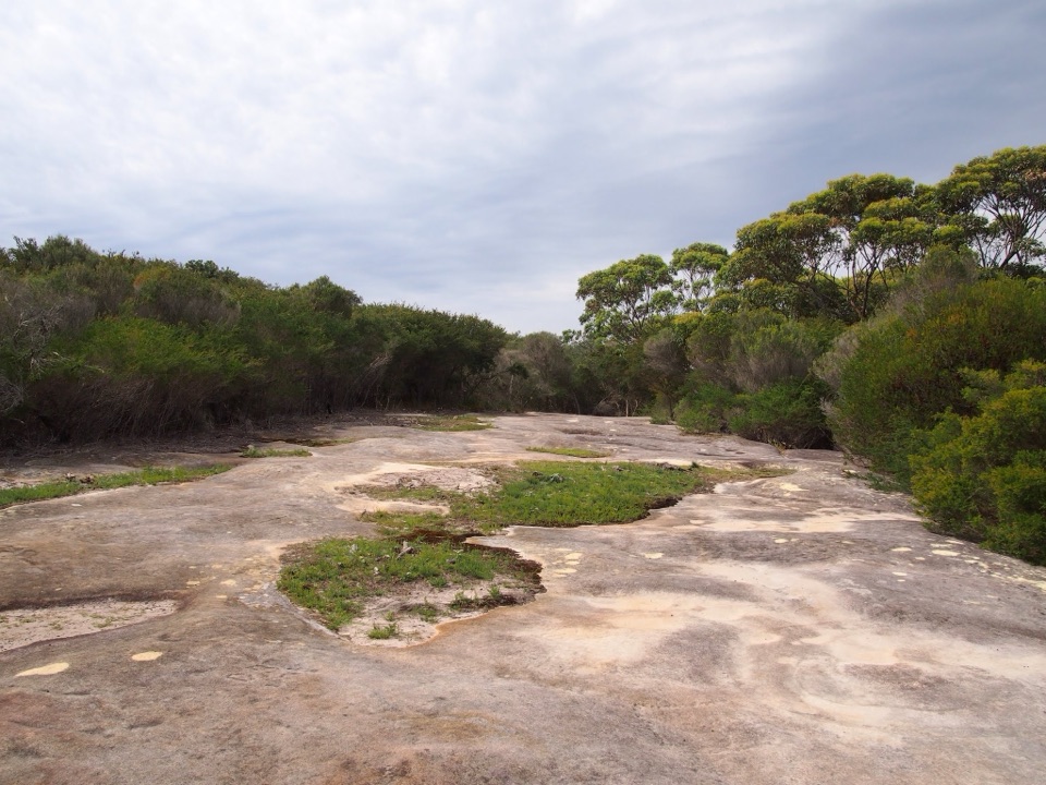
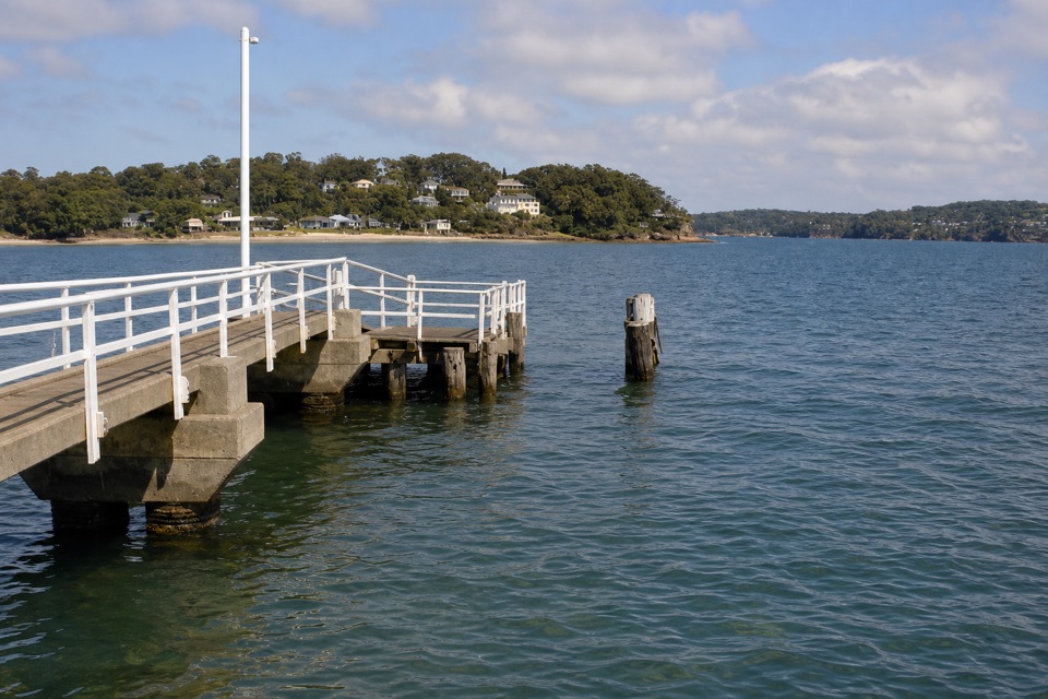
The trail begins at the Royal National Park gate at Beachcomber Avenue’s end. A fire trail crosses coastal heath before you join signed Coast Track toward Marley. An early turnoff heads toward Jibbon Head; leave it for another walk if your goal is the beaches. Starting from Bundeena’s ferry wharf or Brighton Street adds a town connector that is not included in the 6.6 miles.

Water Run and the cliff topsThe Coast Track keeps dipping and climbing rather than staying level.

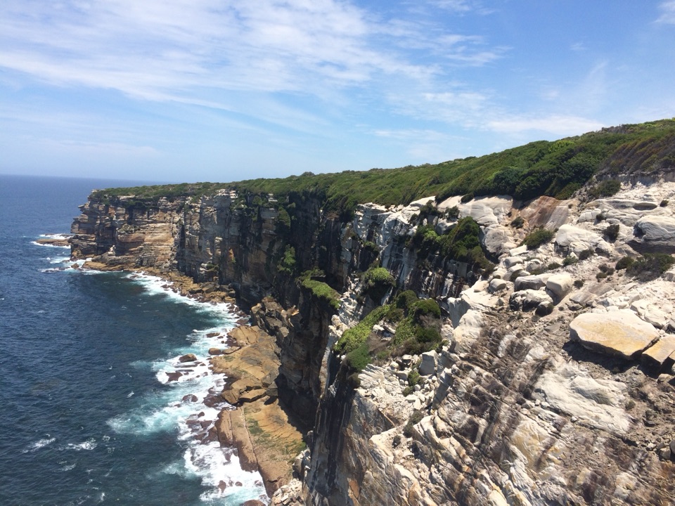
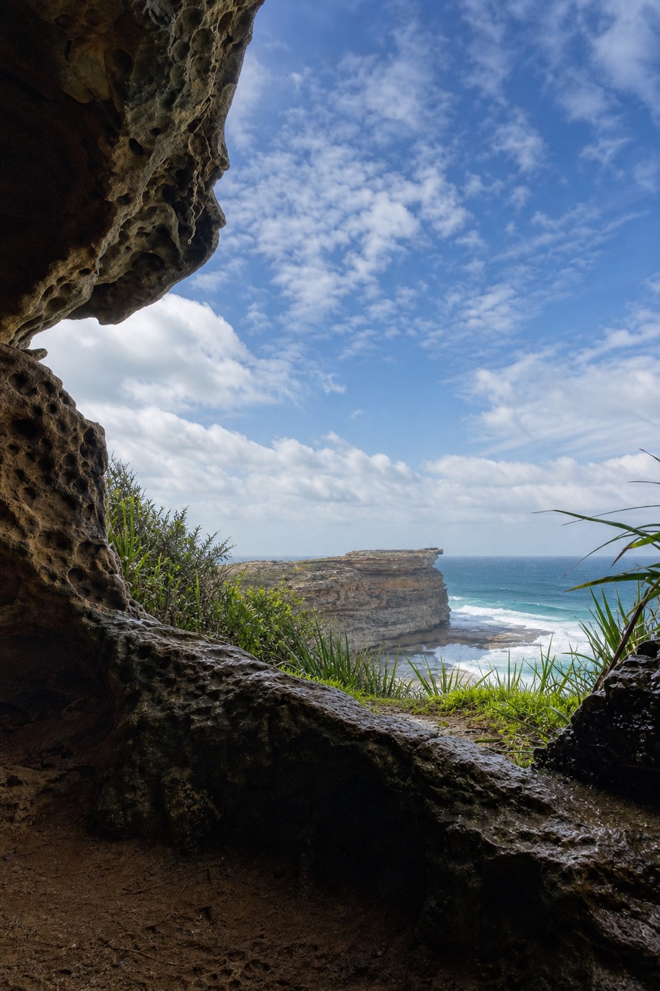
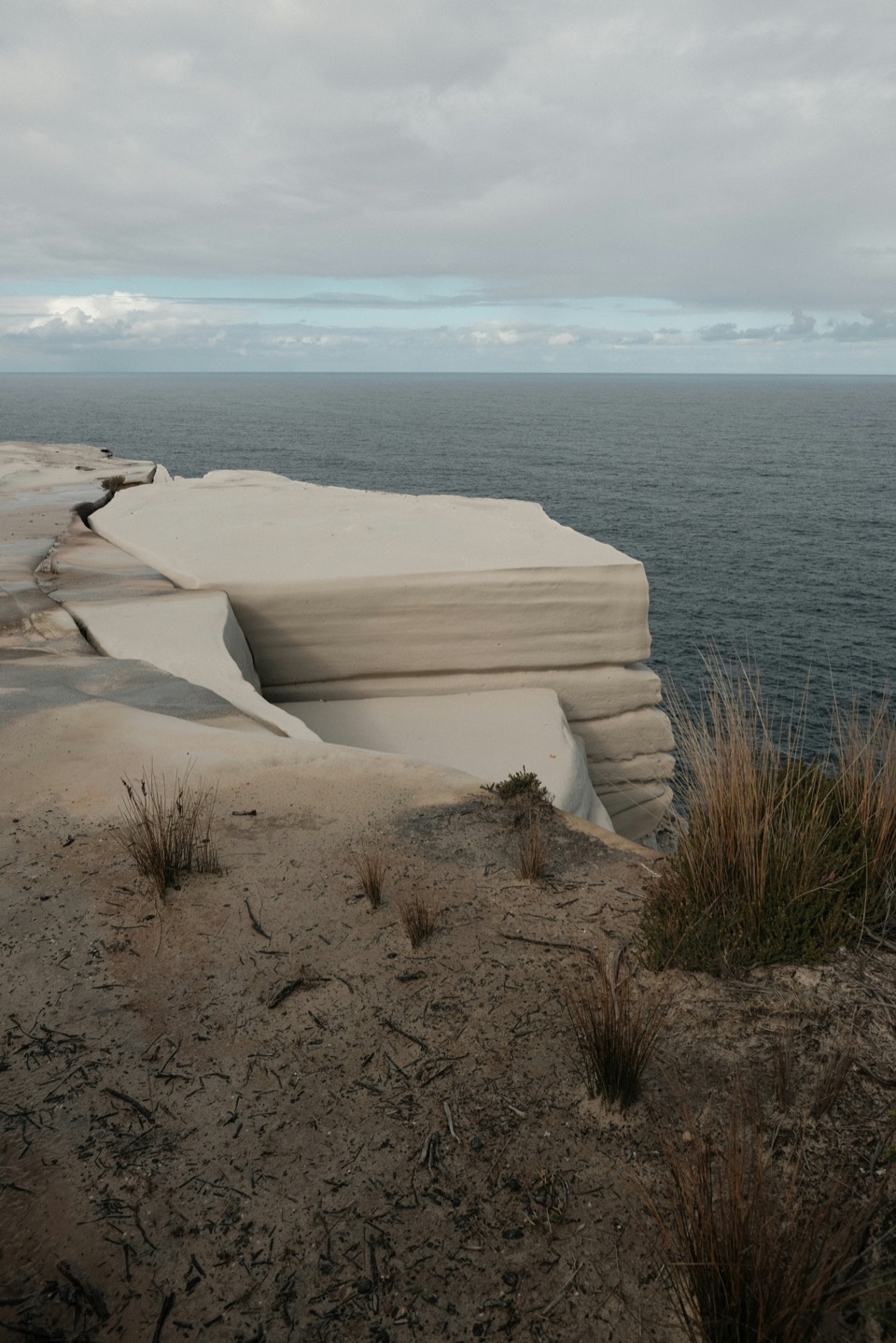
The Coast Track keeps dipping and climbing rather than staying level. At Water Run it drops into a ravine, crosses the creek on stepping stones, then climbs steeply back out. The small falls and rock shelf are on a short side path; the rocks there get slippery, so don’t scramble down for a closer look. Elsewhere, the Balconies open onto layered sandstone shelves above the surf. Wedding Cake Rock, a pale block beside the route, is another landmark; stay on the formed path and obey any barriers.

Big Marley to Little MarleyMarley Head is the best place to pause before descending: both beaches sit below the headland,…

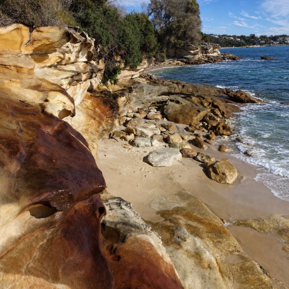
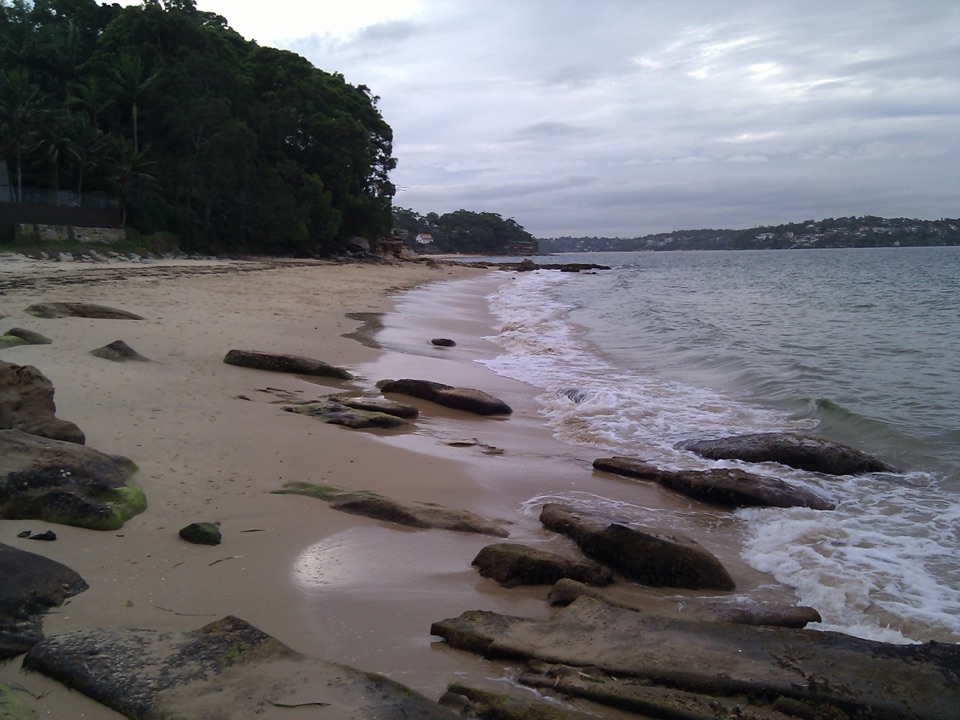
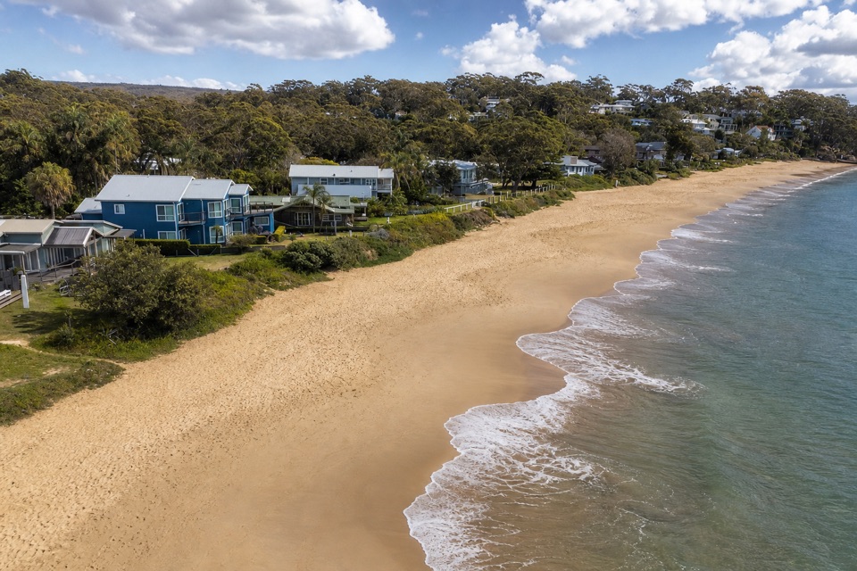
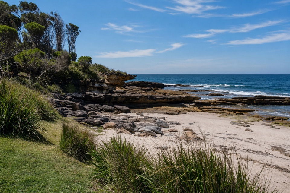
Marley Head is the best place to pause before descending: both beaches sit below the headland, with the ocean beyond. Big Marley is the broad beach, backed by dunes and a lagoon or creek. Continue around the rocky shore for roughly 15 minutes to Little Marley, a smaller crescent cove with rock pools and headlands at either end. The return retraces the same track. Both beaches are remote and unpatrolled, with strong currents and steep shore breaks; don’t plan on a safe swim here.

What the coast is made ofThe track crosses weathered, layered sandstone, then cuts through the Water Run ravine before…

The track crosses weathered, layered sandstone, then cuts through the Water Run ravine before opening onto the low heath above the beaches. At Big Marley, the wide dune field and lagoon make a different landscape from Little Marley’s smaller rocky cove. From Marley Head, frame both bays together with a bit of sandstone or heath in the foreground; stay well back from the edge for the photo.

Wildlife

Wildlife in Royal

All Royal wildlife maps

Sighting maps show where each species has been reported across Royal. Wildlife moves, so no sighting is guaranteed.

Keep exploring

Near Bundeena to Marley Beaches

See it all on the map

Trails that start nearby

Places near the trailhead

Parkwolf’s Royal ranking

Top-rated trails in Royal

All 69 trails
  1. 1The Coast TrackChallenging · 27 km
  2. 2Wattamolla to Eagle Rock and Curracurrong FallsModerate · 8.5 km
  3. 3Jibbon Loop TrackEasy · 5.2 km
  4. 4Palm Jungle Loop TrackChallenging · 8.2 km
  5. 5Curra Moors Loop TrackModerate · 10 km
  6. 6Wedding Cake Rock TrackModerate · 5.6 km

Take Parkwolf to Royal.

The audio tour guide for the drive, plus offline maps, trails, and wildlife heatmaps for when the signal drops.

4.7 from 8,600+ ratings

Download Parkwolf on the App StoreGet Parkwolf on Google Play