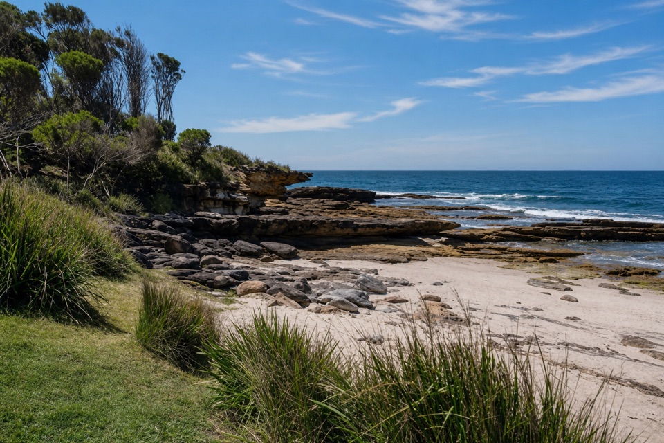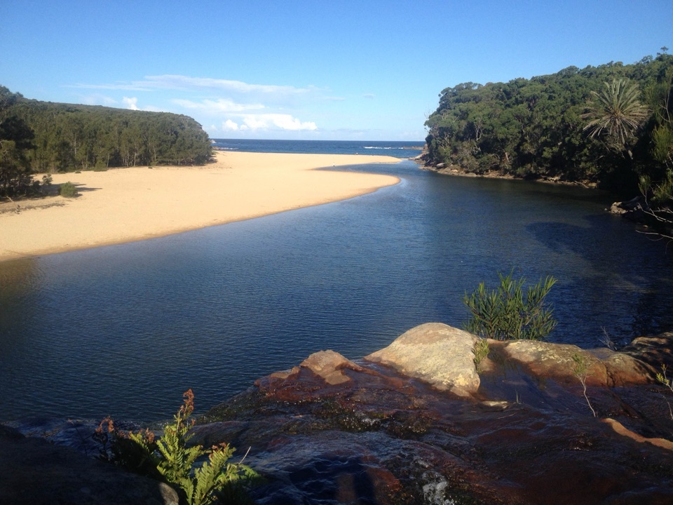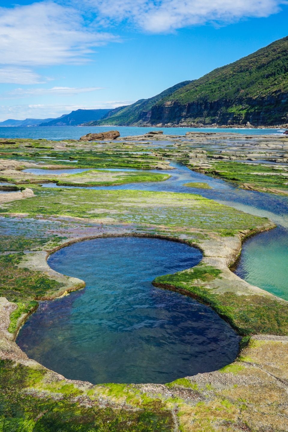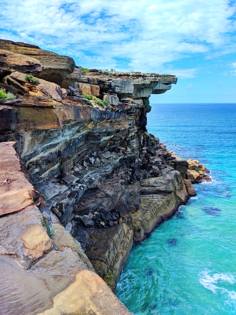
Horderns Beach in Royal National Park

Beach · Royal National Park

Horderns Beach

Bundeena's sandy waterfront, steps from the ferry and village.

Type
Beach
Nearest trail
0.2 km
Audio stories
6 nearby
  • Parking
  • Restrooms

Hear the audio tour

Bundeena Waterfront and Horderns Beach

Overview

About Horderns Beach

Why stop

  • Easy to combine with a swim, paddleboard, picnic or village stop.

Heads up

  • Parking can be limited on busy weekends and holidays.

Map

Where it is

Loading the Royal map
Full map
BeachHorderns Beach-34.08235, 151.14859
Keep this map with you offline in the Parkwolf app

Plan your stop

Before you go

Getting there and staying awhile

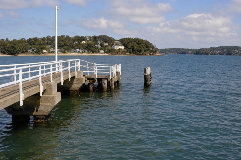
Take the public ferry from Cronulla to arrive by the beach, or use the street entrances from Brighton Street, Horderns Lane or Liverpool Street. Parking is available, but spaces can be tight on busy weekends and holidays. Public toilets are near the ferry ramp at the beach's eastern end. Bundeena shops and cafes are close by, so plan to use the village for food.


4 active Royal alerts

  • ClosureOvernight closures for deer-control operationsSpecified areas of Royal National Park are closed between sunset and sunrise from Monday to Thursday, excluding school holidays, through 18 December 2026 so NPWS can carry out deer-control operations.Official details
  • ClosureUnauthorised trail between East Heathcote and Waterfall closedThe unauthorised trail between East Heathcote and Waterfall is formally and physically closed; access is not permitted.Official details
See all 4 alerts
A park ranger sits on a dash-mounted phone, talking, as Parkwolf’s Tour Guide plays “Army Cutworm Moths: A Grizzly Bear Buffet” on Grand Loop Road below Dunraven Pass in Yellowstone
Parkwolf Tour GuideThe highest, rockiest slopes around here are a summer buffet for grizzly bears.

Royal Tour Guide

Your drive to Horderns Beach, narrated.

Parkwolf is a GPS audio tour guide for Royal National Park. As you drive, it chimes in with what’s ahead: hidden gems, upcoming stops, history, geology, and wildlife, right through your car’s speakers.

Recorded for this place

Bundeena Waterfront and Horderns Beach
0:00 / 0:30
“Bundeena's waterfront is ahead, with Horderns Beach beside the ferry wharf. Houses and coastal trees back the sand, making this a good place for an easy shore walk and a meal in the village.”

Plays as you drive up to Horderns Beach in the Parkwolf Royal Tour Guide.

More stories near here in the app

  • Jibbon Beach and Rock Engravings
  • Bonnie Vale Riverbank and Picnic Area
  • Bundeena Coast Track to Wedding Cake Rock
  • A Humpback’s Tail Signature
  • 43 audio storiesacross Royal’s roads, triggered by GPS as you drive
  • Wildlife heatmapsfor Humpback Whale, White-bellied Sea-Eagle, Koala, and 13 more
  • Works offlinemaps, 69 trails, 58 places, and audio download before you lose signal
  • CarPlay readysimple controls built for the drive
★★★★★
“Fantastic app with many points of information… It’s great to just turn on while you’re driving and it gives you an audio tour of the national Park. We love it!!!!”
JMJamesApp Store review
Download Parkwolf on the App StoreGet Parkwolf on Google Play

4.7 from 8,600+ ratings

Guide

More about Horderns Beach

Bundeena's waterfrontHorderns Beach is a sandy beach on the southern shore of Port Hacking, backed by Bundeena and…

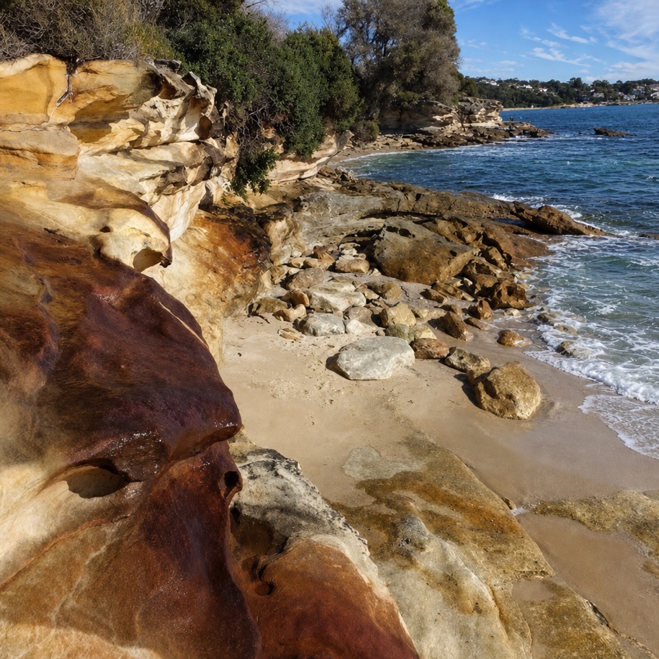
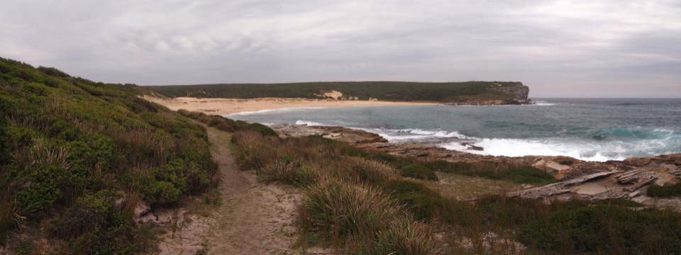
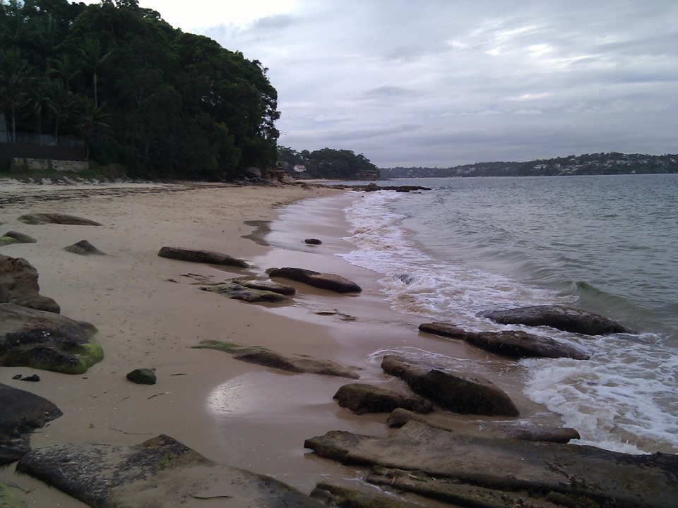
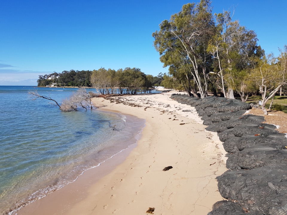
Horderns Beach is a sandy beach on the southern shore of Port Hacking, backed by Bundeena and beside the ferry wharf. It's a handy stop for swimming, paddleboarding, a picnic or an easy shore walk, and simple to pair with a visit to the village.

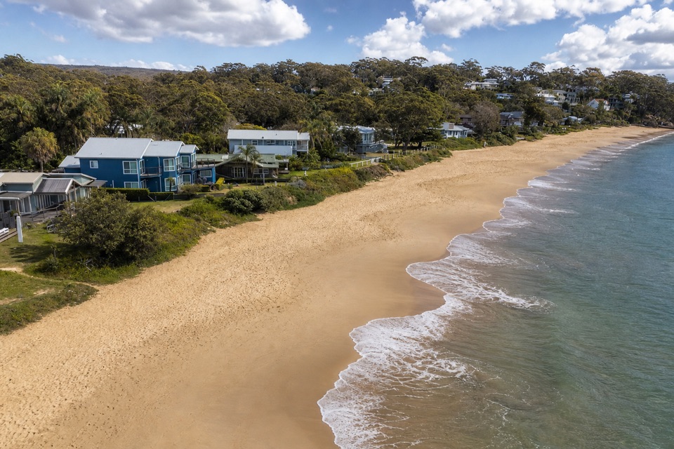
A village-edge beachHomes and coastal trees line the sand, giving Horderns a lived-in waterfront feel.

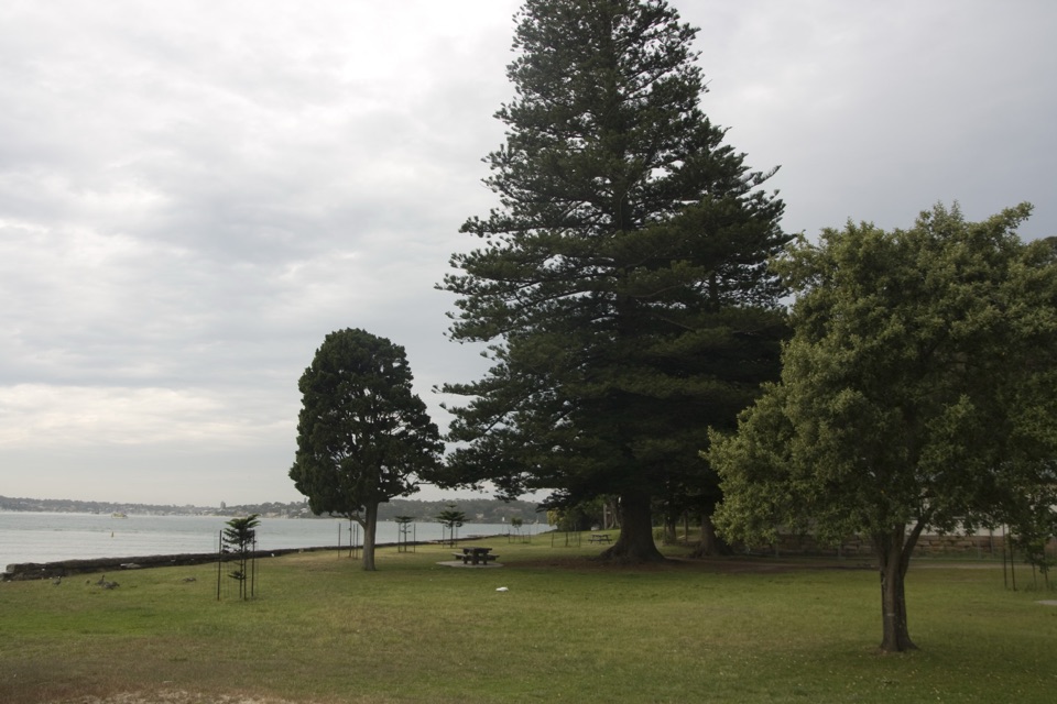
Homes and coastal trees line the sand, giving Horderns a lived-in waterfront feel. Visitors often make it part of a Bundeena swim, picnic or walk rather than a stand-alone remote beach day. The beach is unfenced.

Bringing a dogDog access follows a seasonal council schedule.

Dog access follows a seasonal council schedule. From May through August, dogs may be off leash at any time. From September through April, dogs are prohibited on weekends and public holidays; on weekdays they must be on leash from 8:30 am to 4:30 pm and may be off leash before or after. Check the entrance signs for the designated area.

The name and the viewLocal records link the beach's name to Sydney retailer Samuel Hordern, who owned land in the…

Local records link the beach's name to Sydney retailer Samuel Hordern, who owned land in the area. For a photo, include the curve of the sandy shoreline with Bundeena's houses or trees behind it; that shows the village setting along with the water.

Wildlife

Wildlife in Royal

All Royal wildlife maps

Sighting maps show where each species has been reported across Royal. Wildlife moves, so no sighting is guaranteed.

Keep exploring

Near Horderns Beach

See it all on the map

Trails nearby

More stops nearby

Parkwolf’s Royal ranking

Top sights in Royal

All 58 places
  1. 1Wattamolla Beach and Picnic AreaBeach
  2. 2Wedding Cake RockSight
  3. 3Figure Eight PoolsSight
  4. 4Eagle RockSight
  5. 5Curracurrong FallsSight
  6. 6Jibbon Rock EngravingsSight

Take Parkwolf to Royal.

The audio tour guide for the drive, plus offline maps, trails, and wildlife heatmaps for when the signal drops.

4.7 from 8,600+ ratings

Download Parkwolf on the App StoreGet Parkwolf on Google Play