Bonnie Vale Picnic Area in Royal National Park

Picnic area · Royal National Park

Bonnie Vale Picnic Area

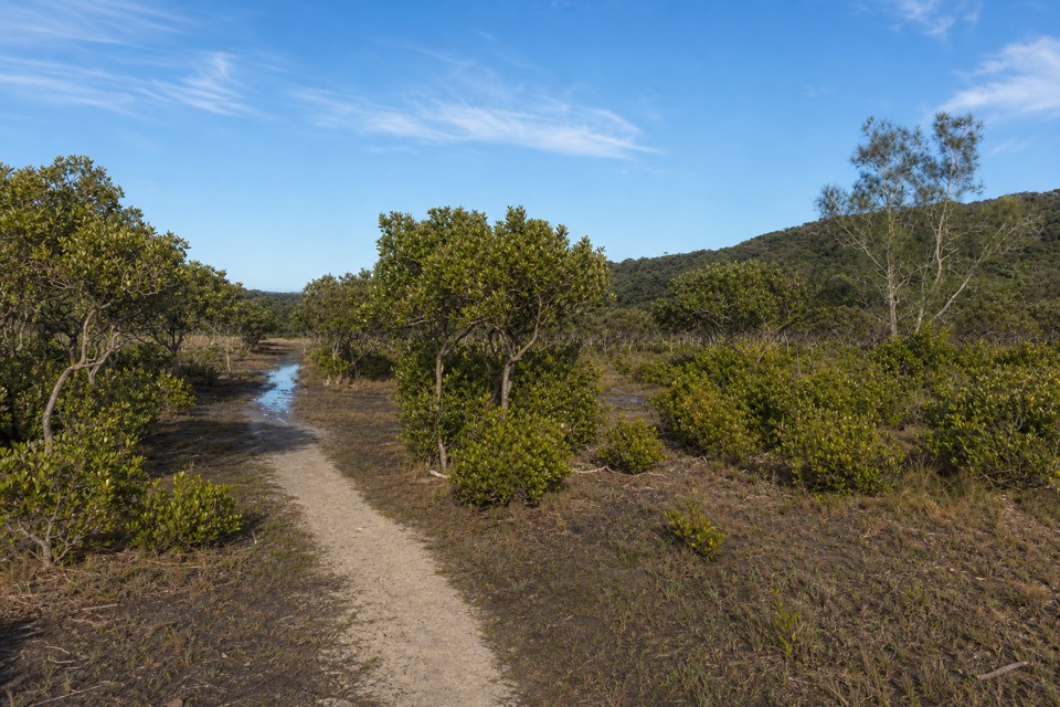
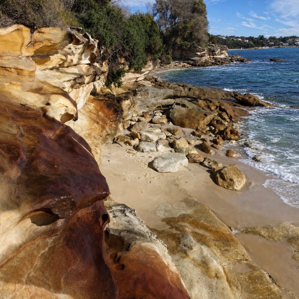
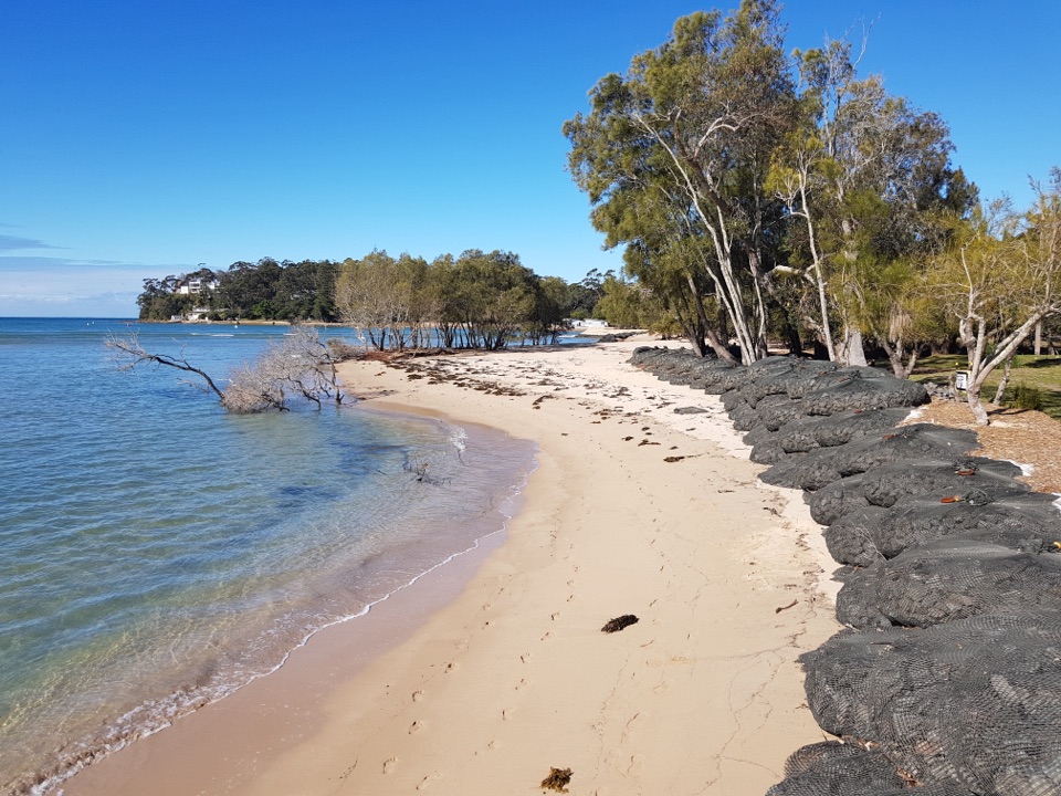
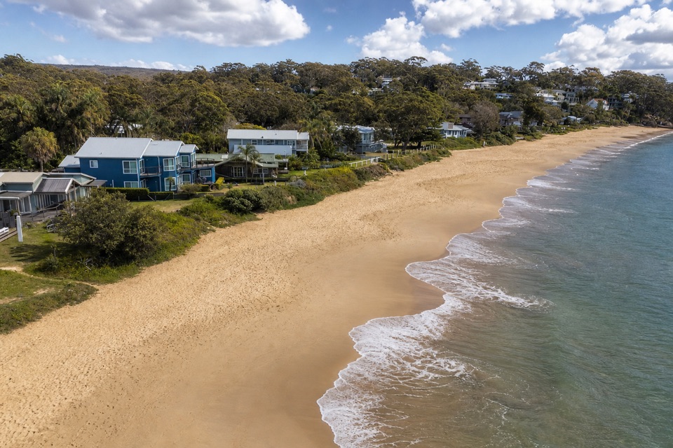
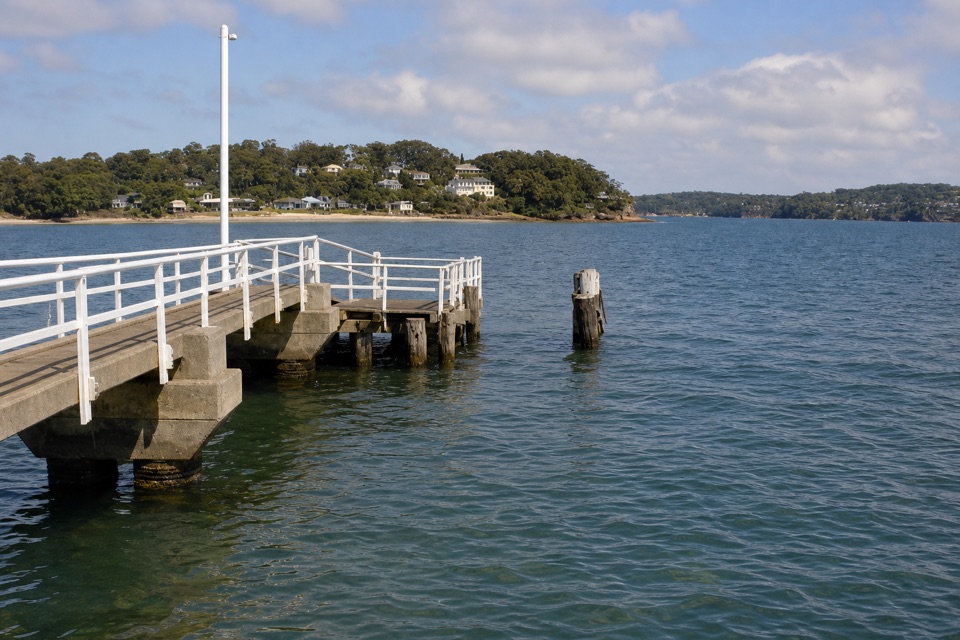
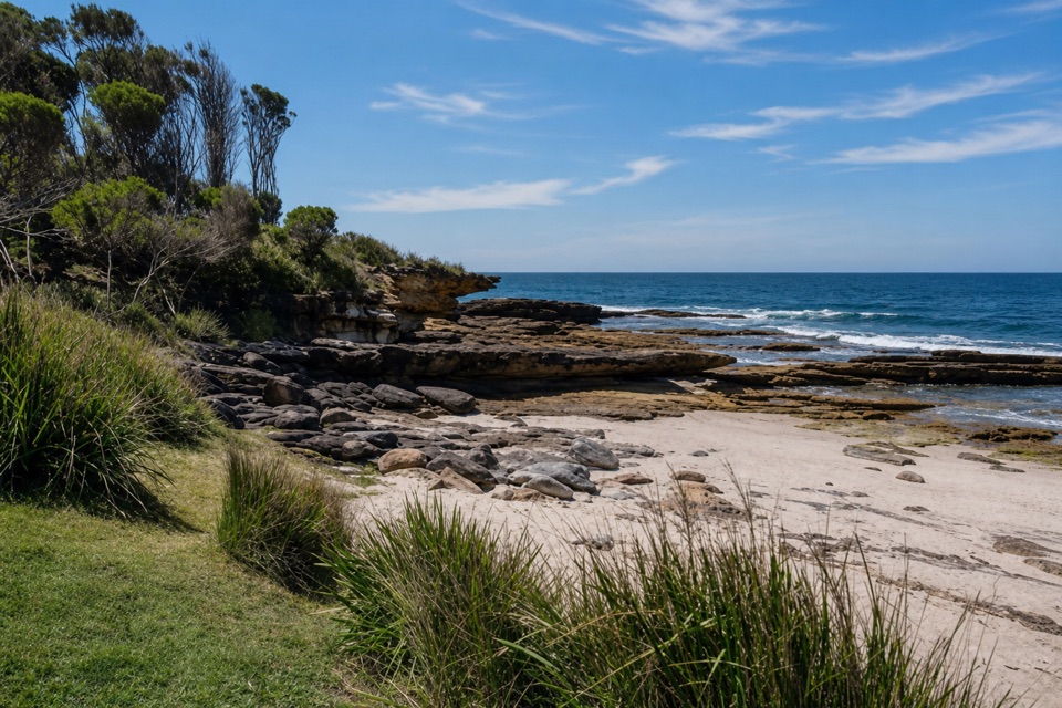
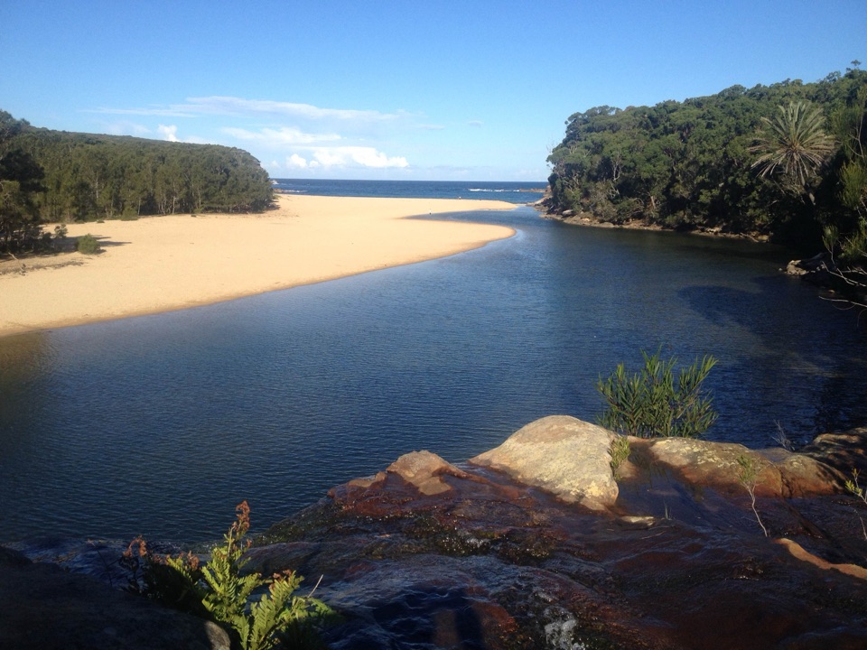
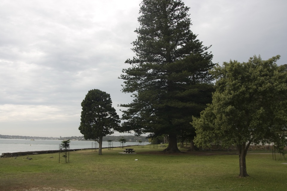
A shady picnic lawn beside sheltered water for swims and paddles.

Photo: Wikimedia Commons
Type
Picnic area
Nearest trail
0.5 km
Audio stories
8 nearby
  • Parking
  • Restrooms
  • Picnic tables

Hear the audio tour

Bonnie Vale Riverbank and Picnic Area

Overview

About Bonnie Vale Picnic Area

Why stop

  • Easy access to shallow, sheltered water.
  • Free gas and electric barbecues.

Heads up

  • Busy days can mean a wait for parking.

Map

Where it is

Loading the Royal map
Full map
Picnic areaBonnie Vale Picnic Area-34.08229, 151.14060
Keep this map with you offline in the Parkwolf app

Plan your stop

Before you go

4 active Royal alerts

  • ClosureOvernight closures for deer-control operationsSpecified areas of Royal National Park are closed between sunset and sunrise from Monday to Thursday, excluding school holidays, through 18 December 2026 so NPWS can carry out deer-control operations.Official details
  • ClosureUnauthorised trail between East Heathcote and Waterfall closedThe unauthorised trail between East Heathcote and Waterfall is formally and physically closed; access is not permitted.Official details

See all 4 alerts
A park ranger sits on a dash-mounted phone, talking, as Parkwolf’s Tour Guide plays “Army Cutworm Moths: A Grizzly Bear Buffet” on Grand Loop Road below Dunraven Pass in Yellowstone
Parkwolf Tour GuideThe highest, rockiest slopes around here are a summer buffet for grizzly bears.

Royal Tour Guide

Your drive to Bonnie Vale Picnic Area, narrated.

Parkwolf is a GPS audio tour guide for Royal National Park. As you drive, it chimes in with what’s ahead: hidden gems, upcoming stops, history, geology, and wildlife, right through your car’s speakers.

Recorded for this place

Bonnie Vale Riverbank and Picnic Area
0:00 / 0:33
“Bonnie Vale is coming up, with a sandy spit and sheltered water for a relaxed swim or paddle. I'd choose the shady picnic lawn if you want a waterside break without a long walk.”

Plays as you drive up to Bonnie Vale Picnic Area in the Parkwolf Royal Tour Guide.

More stories near here in the app

  • A Humpback’s Tail Signature
  • Bundeena Waterfront and Horderns Beach
  • The Spinebill at the Flowers
  • Jibbon Beach and Rock Engravings
  • 43 audio storiesacross Royal’s roads, triggered by GPS as you drive
  • Wildlife heatmapsfor Humpback Whale, White-bellied Sea-Eagle, Koala, and 13 more
  • Works offlinemaps, 69 trails, 58 places, and audio download before you lose signal
  • CarPlay readysimple controls built for the drive
★★★★★
“Fantastic app with many points of information… It’s great to just turn on while you’re driving and it gives you an audio tour of the national Park. We love it!!!!”
JMJamesApp Store review
Download Parkwolf on the App StoreGet Parkwolf on Google Play

4.7 from 8,600+ ratings

Guide

More about Bonnie Vale Picnic Area

A shady spot by the waterBonnie Vale Picnic Area is a day-use picnic lawn beside Cabbage Tree Basin near Bundeena.

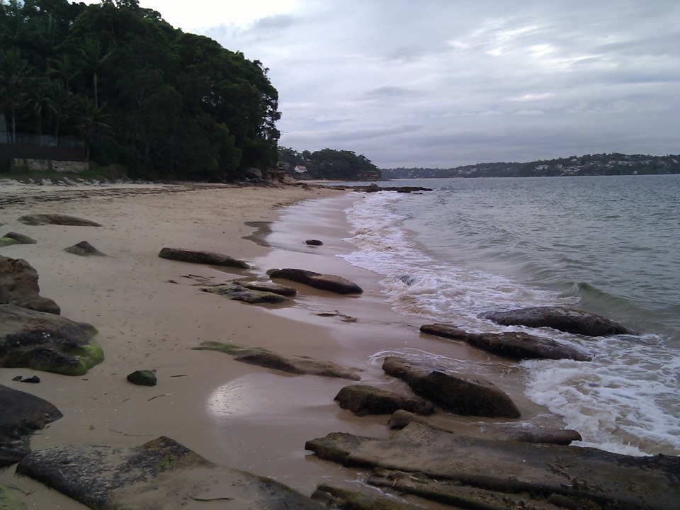
Bonnie Vale Picnic Area is a day-use picnic lawn beside Cabbage Tree Basin near Bundeena. Shallow, sheltered water and easy shore access suit a relaxed swim or paddle, with a broad grassy area under trees for lunch. The basin is also part of Port Hacking, so you can make a short stop of it or settle in for a longer picnic.

Bring lunch and stay awhileThere are shaded picnic tables, free gas and electric barbecues, drinking water and flush…

There are shaded picnic tables, free gas and electric barbecues, drinking water and flush toilets. There is no food outlet at the picnic area; bring a meal or stop at a cafe in Bundeena. Kayaks, canoes and stand-up paddleboards can be hired in town.

Getting to the shoreThe approach roads are sealed and suitable for two-wheel drive.

The approach roads are sealed and suitable for two-wheel drive. Parking demand can exceed the available spaces, so carpool or consider taking the ferry from Cronulla to Bundeena and walking about 15 minutes from the wharf. Swimming is unpatrolled, even though the basin is sheltered.

Wildlife

Wildlife in Royal

All Royal wildlife maps

Sighting maps show where each species has been reported across Royal. Wildlife moves, so no sighting is guaranteed.

Keep exploring

Near Bonnie Vale Picnic Area

See it all on the map

Trails nearby

More stops nearby

Parkwolf’s Royal ranking

Top sights in Royal

All 58 places
  1. 1Wattamolla Beach and Picnic AreaBeach
  2. 2Wedding Cake RockSight
  3. 3Figure Eight PoolsSight
  4. 4Eagle RockSight
  5. 5Curracurrong FallsSight
  6. 6Jibbon Rock EngravingsSight

Take Parkwolf to Royal.

The audio tour guide for the drive, plus offline maps, trails, and wildlife heatmaps for when the signal drops.

4.7 from 8,600+ ratings

Download Parkwolf on the App StoreGet Parkwolf on Google Play