Parking
Use street parking in Bundeena and walk to the end of Beachcomber Avenue for the Coast Track start. There is no car park at or near Wedding Cake Rock; street parking can be limited on weekends, holidays and in summer.
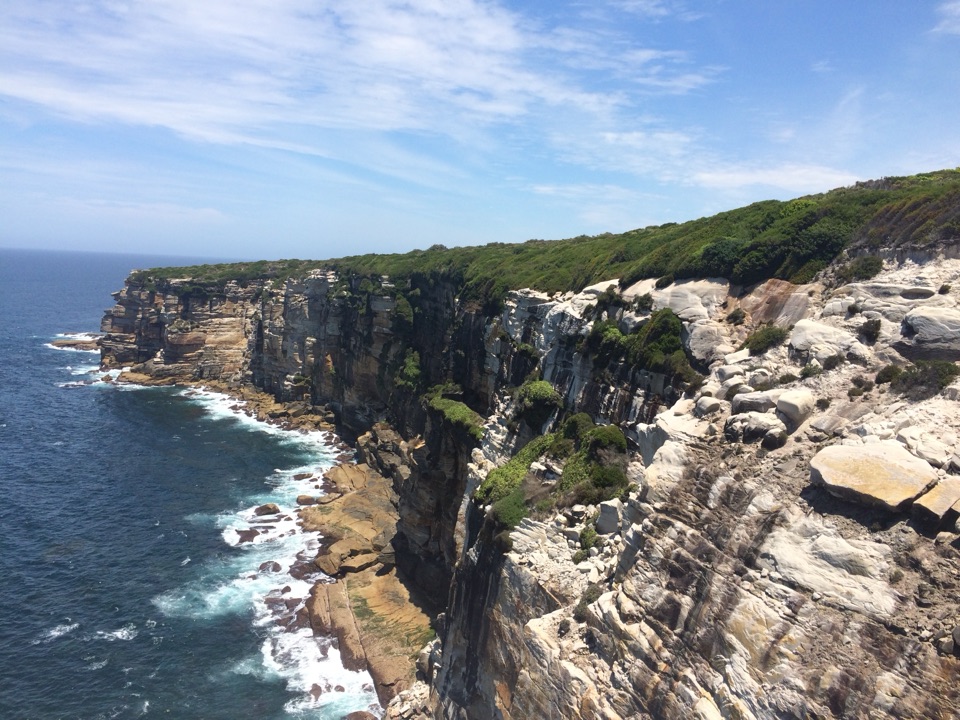
Royal National Park, NSW
Coastal cliffs, a sculpted sandstone shelf, and Marley beach views
Overview
Map & elevation
Plan your hike

The highest, rockiest slopes around here are a summer buffet for grizzly bears.
Royal Tour Guide
Parkwolf is a GPS audio tour guide for Royal National Park. As you drive, it chimes in with what’s ahead: hidden gems, upcoming stops, history, geology, and wildlife, right through your car’s speakers.
Recorded for this trailhead
Bundeena Coast Track to Wedding Cake Rock“You're approaching the Coast Track start in Bundeena, where you can walk to Wedding Cake Rock. Allow about two and a half hours return over rough sandstone, boardwalk and stairs, with cliff views along the way.”
Plays as you drive up to this trailhead in the Parkwolf Royal Tour Guide.
More stories near here in the app
“Fantastic app with many points of information… It’s great to just turn on while you’re driving and it gives you an audio tour of the national Park. We love it!!!!”


Trail guide
This 4.8-mile (7.7 km) circuit starts at the end of Beachcomber Avenue in Bundeena, follows the Coast Track past The Balconies, The Waterrun and Wedding Cake Rock to Marley Head, then returns inland on Big Marley Fire Trail and a connecting footpath. Allow about three hours with stops. It is a moderate walk with several rough, often steep and rocky coastal stretches. A shorter out-and-back from the same start reaches Wedding Cake Rock but leaves out the Marley Head and fire-trail loop.
The route begins on a fire trail before turning onto the coastal track. An elevated boardwalk crosses heath to The Balconies, where layered sandstone shelves open toward the ocean. Farther south, expect a mix of boardwalk, exposed rock and sandstone steps rather than one continuous smooth path.
At The Waterrun, a creek cuts across a broad sandstone shelf before reaching the sea; steps cross the rock. Wedding Cake Rock is pale because iron has leached from its sandstone. The layers are cracked and unstable, so stay behind the safety barrier. From the safe side, the light rock stands out against the darker coast; the route’s cliff scenery is a large part of the payoff even if you cannot approach the formation.
Continue to Marley Head for views over Big and Little Marley beaches. The circuit then turns inland onto Big Marley Fire Trail and follows a mapped footpath and short connectors back to Beachcomber Avenue, rather than retracing the coast. The inland return is part of the full 4.8-mile distance.
Coastal heath flowers in spring, and whales can sometimes be seen from the cliffs during their migration season. Neither wildlife nor flowers are guaranteed on a particular visit.
Street parking is in Bundeena; walk to the end of Beachcomber Avenue for the Coast Track start. There is no car park at or near Wedding Cake Rock. You can also take the train to Cronulla, then the ferry to Bundeena and walk to the start. There are no toilets, drinking water or bins along the Coast Track, so use facilities before setting out. Dogs are prohibited except certified assistance animals. The track closes during total fire bans.
Wildlife
 56 sightingsHumpback WhaleMost seen around 11 AMSighting map
 68 sightingsWhite-bellied Sea-EagleMost seen around 9 AMSighting map
 12 sightingsKoalaMost seen around 6 PMSighting map
 33 sightingsJavan RusaMost seen around 6 PMSighting map
 69 sightingsShort-beaked EchidnaMost seen around 5 PMSighting map
 11 sightingsRed FoxMost seen around 5 PMSighting map
Sighting maps show where each species has been reported across Royal. Wildlife moves, so no sighting is guaranteed.
Keep exploring
 ModerateWedding Cake Rock Track5.6 km · 2.5 hr · At the trailheadCoastal walk to a fragile rock, viewed safely from behind the fence.
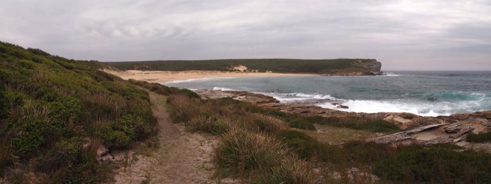 ModerateBundeena to Marley Beaches10.6 km · 3.5 hr · At the trailheadTwo remote beaches after a cliff-top walk through coastal heath.
 ChallengingThe Coast Track27 km · 10 hr · At the trailheadA 27 km coast crossing through beaches, cliffs and rainforest.
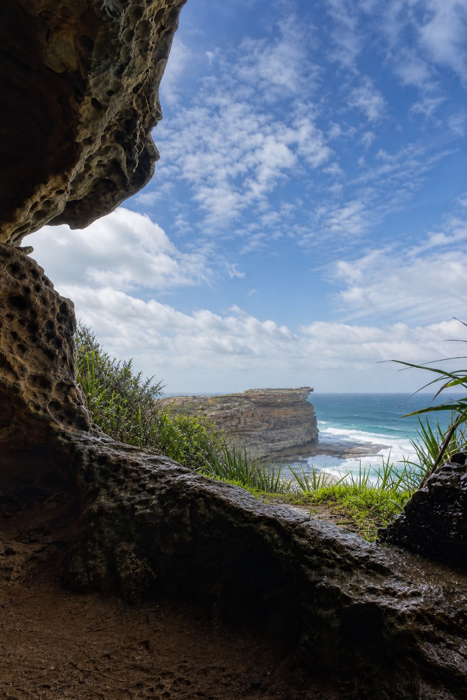 EasyFisherman’s Cave Walk2 km · 1 hr · At the trailheadA cliffside cave house with ocean views and an exposed finish
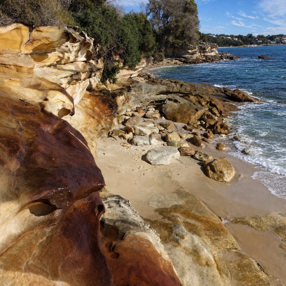 ModerateBundeena to Jibbon Head Circuit7.5 km · 2.5 hr · 1 km awayBeach, headland engravings and a quieter sandy return in one circuit.
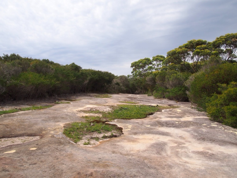 EasyJibbon Head Engravings Walk2.6 km · 1.3 hr · 1.1 km awayA beach walk to a whale carved in Dharawal sandstone.
 EasyJibbon Loop Track5.2 km · 2 hr · 1.2 km awayA sandy beach, Dharawal engravings and a rugged headland in one loop.
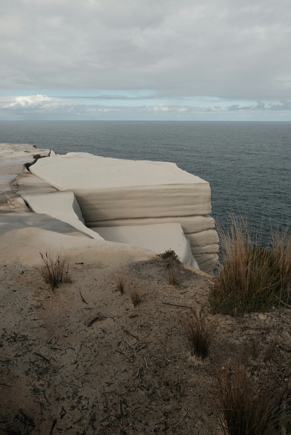 ChallengingGreat South Coast Walk Stage 01: Bundeena to Wollongong63 km · 20 hr · 1.2 km awayThree days from sandstone cliffs to the Wollongong waterfront.
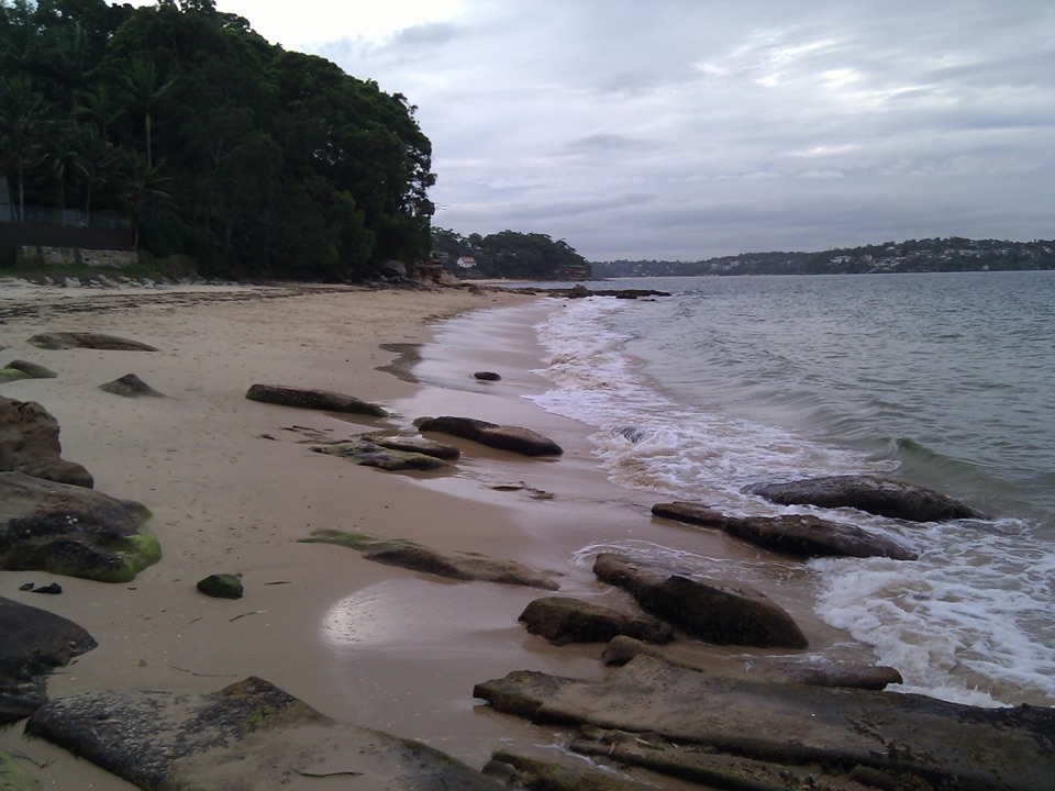 Beach · 1.1 km awayGunyah BeachA Bundeena beach of sand pockets and rocky shelves.
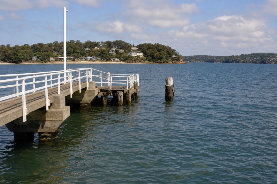 Sight · 1.1 km awayBundeena WharfA ferry landing for Jibbon walks and Dharawal rock engravings.
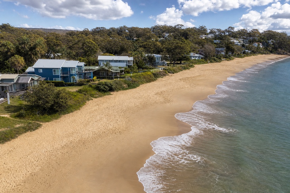 Beach · 1.3 km awayHorderns BeachBundeena's sandy waterfront, steps from the ferry and village.
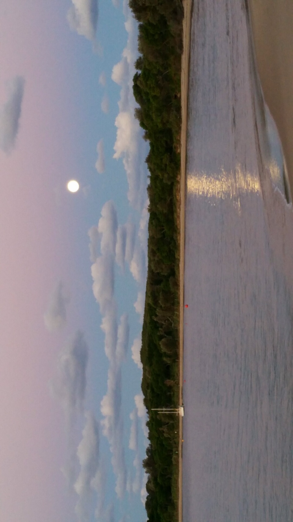 Beach · 1.3 km awayJibbon BeachAn 800-metre crescent, with a Dharawal cultural site beyond.
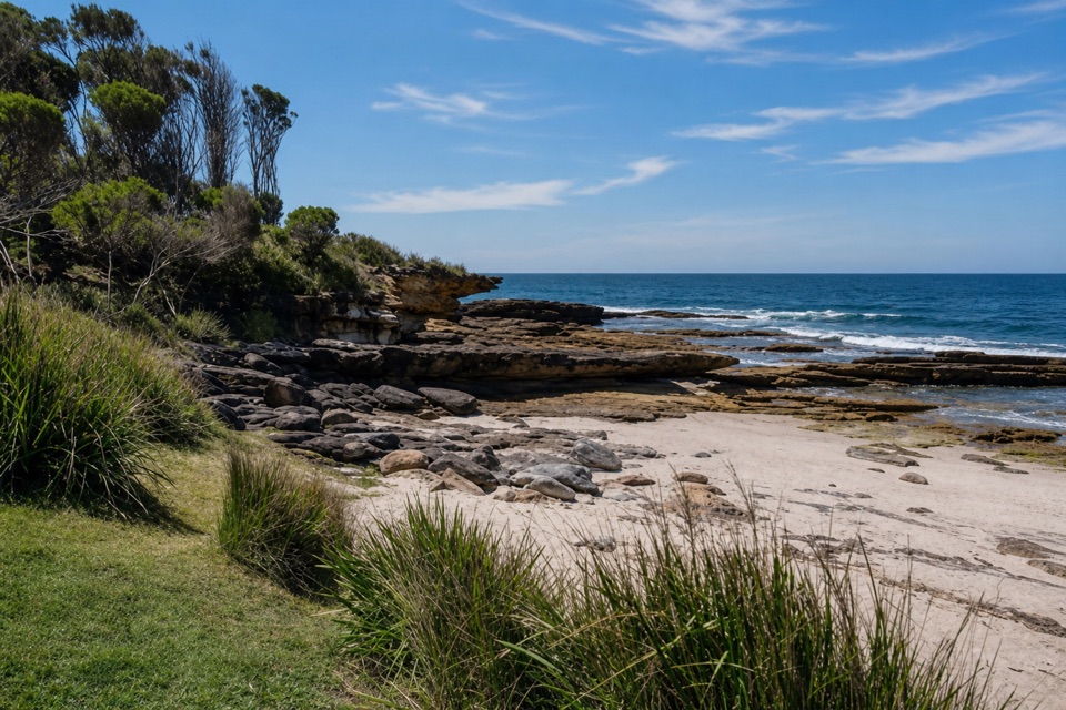 Beach · 1.8 km awayShelley BeachA quiet cove of sand and rock pools off Jibbon Head.
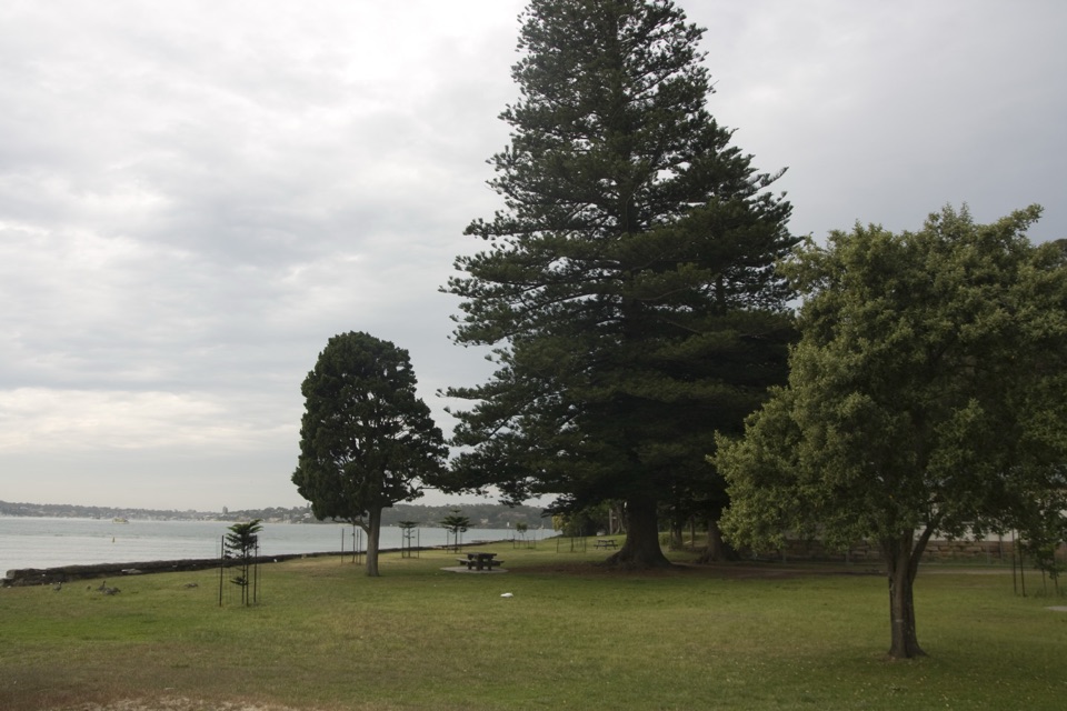 Picnic area · 1.8 km awayBonnie Vale Picnic AreaA shady picnic lawn beside sheltered water for swims and paddles.
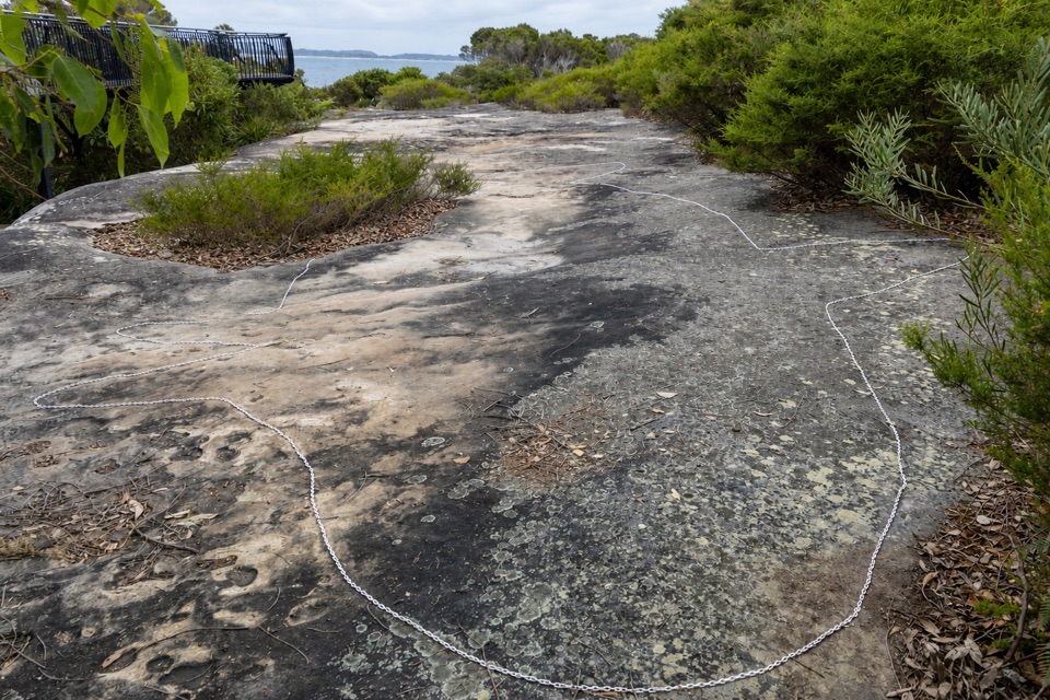 Sight · 1.9 km awayJibbon Rock EngravingsA beach-and-bush walk ends at a protected Dharawal engraving site.Sight · 2 km awayWedding Cake RockA fragile white landmark reached along a rugged coastal walk.
Parkwolf’s Royal ranking

The audio tour guide for the drive, plus offline maps, trails, and wildlife heatmaps for when the signal drops.


