Parking
Start at Heathcote Railway Station and finish at Engadine Railway Station. Use train connections or arrange a vehicle at the far end; station parking details were not verified.
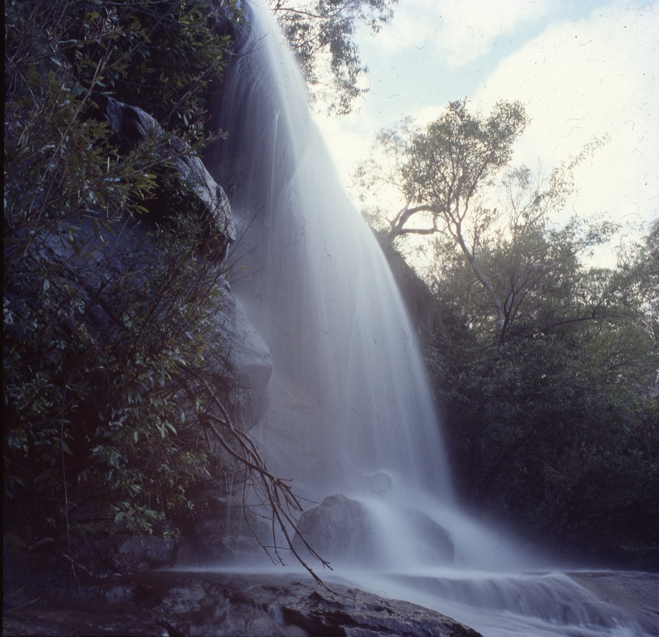
Royal National Park, NSW
Take two stations through pools, falls and sandstone ridges.
Overview
Map & elevation
Plan your hike

The highest, rockiest slopes around here are a summer buffet for grizzly bears.
Royal Tour Guide
Parkwolf is a GPS audio tour guide for Royal National Park. As you drive, it chimes in with what’s ahead: hidden gems, upcoming stops, history, geology, and wildlife, right through your car’s speakers.
More stories near here in the app
“Fantastic app with many points of information… It’s great to just turn on while you’re driving and it gives you an audio tour of the national Park. We love it!!!!”


Trail guide
From Heathcote Railway Station to Engadine Railway Station, this 9.46-mile (15.2 km) one-way walk follows Karloo Track past Karloo Pools to Uloola Falls, then continues through Audley and onto Engadine Track. It is a hard day in the bush, not a quick waterfall stroll: allow about 6½ hours for roughly 1,630 feet (496 m) of climbing over rocky, uneven ground. Arrange trains at both ends or a vehicle handoff; this route does not bring you back to Heathcote.
Leave Heathcote on Wilson Parade, then turn onto the signed Karloo Track. It descends through dry scrub to Karloo Pools. After the pools, the route crosses Kangaroo Creek and climbs over rocky ground toward Uloola. The crossing has meant wet feet for walkers before; its depth changes, so don't count on staying dry.
Uloola Falls is the natural pause before the walk turns north toward Audley. The track climbs onto open sandstone ridges, then crosses heathland, banksia scrub and eucalypt forest. Look for the local whaleback sandstone shape and, in spring, the heathland flowers; gymea lilies send up red blooms in warmer months. The Uloola track can get boggy after rain. Rock warblers make hanging nests beneath sandstone ledges, so look without disturbing them. The falls are the best place to frame a photo with the surrounding rock and bush for scale.
Follow the Audley direction at Uloola and keep going at the Engadine fork. A rocky high point has been described as opening a view toward Sydney and Parramatta; treat it as one reported outlook, not a panorama along the whole route. Robertson's Roundabout has a short side path toward Currawong Flats and the Hacking River; that detour is outside the mapped station-to-station line.
After the Audley section, Engadine Track threads through forest toward town. The last stretch crosses Forest Brook and Gnarra Rill before the paths lead to Engadine Station. The station-to-station arrangement is the useful part here: no car shuffle is needed if you use public transport, but check current service plans before you set out.
The separate Karloo walking track is a 10 km return from Heathcote toward Uloola Falls. It gives you Karloo Pools and the falls, then brings you back to your start instead of continuing to Engadine. Pets are not permitted on this route. Bring enough drinking water for the full walk; a reliable refill point was not confirmed.
Wildlife
 56 sightingsHumpback WhaleMost seen around 11 AMSighting map
 68 sightingsWhite-bellied Sea-EagleMost seen around 9 AMSighting map
 12 sightingsKoalaMost seen around 6 PMSighting map
 33 sightingsJavan RusaMost seen around 6 PMSighting map
 69 sightingsShort-beaked EchidnaMost seen around 5 PMSighting map
 11 sightingsRed FoxMost seen around 5 PMSighting map
Sighting maps show where each species has been reported across Royal. Wildlife moves, so no sighting is guaranteed.
Keep exploring
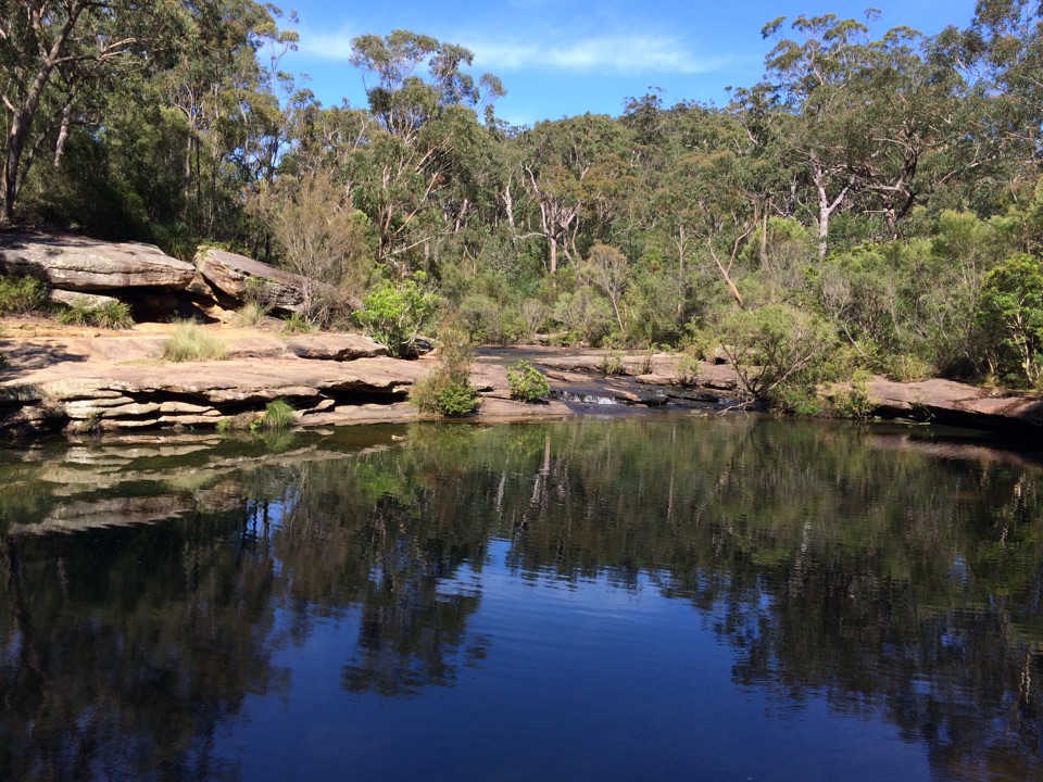 ModerateKarloo Pools Walk5.4 km · 2.5 hr · At the trailheadA rocky creek walk to a deep swimming hole beneath sandstone cliffs.ModerateKarloo walking track10 km · 4 hr · At the trailheadCarry the Karloo Pool walk on to Uloola Falls.
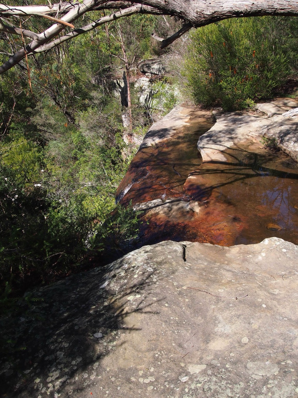 ModerateHeathcote to Waterfall via Uloola Falls11 km · 5 hr · At the trailheadTwo swimming spots reward a one-way walk between rail stations.
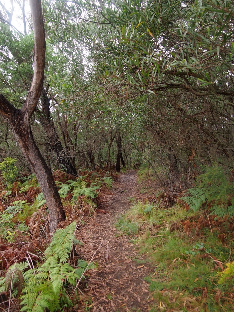 ChallengingHeathcote to Audley10.1 km · 4.5 hr · 0.1 km awayKarloo Pool and Uloola Falls split up this long one-way walk.
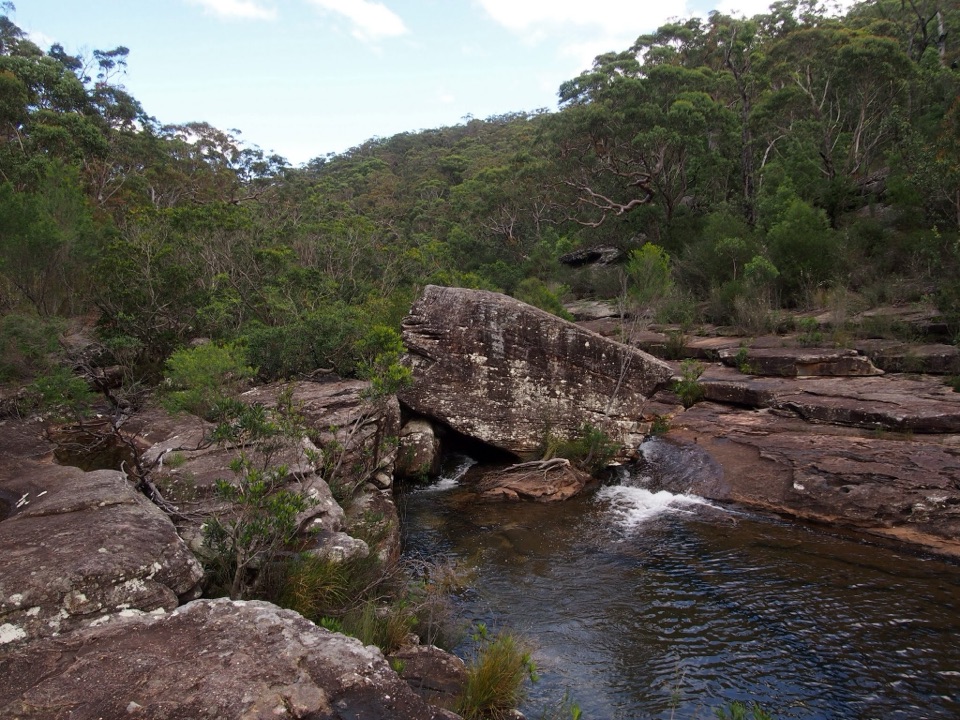 ModerateKangaroo Creek Pool via Parklands Trail and Engadine Track5.8 km · 2.3 hr · 1.1 km awayA rock pool after a 5.8 km out-and-back bushwalk.ModerateBottle Forest Track to Karloo Pool1.6 km · 45 min · 2.3 km awayA narrow bush track drops from a junction to Karloo Pool.
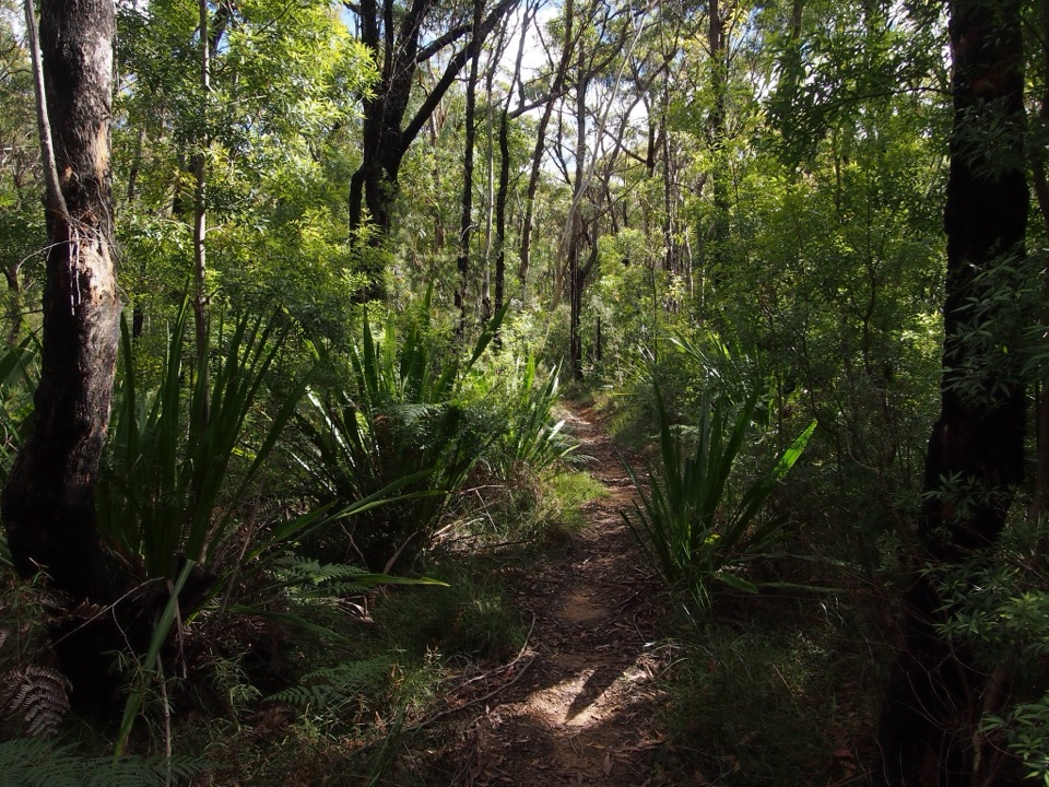 ChallengingEngadine to Audley5.8 km · 2.5 hr · 2.3 km awayA one-way bushwalk over creek gullies to Audley’s river valley.
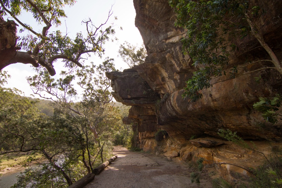 ModerateWillow Tree to Calala Hike10.5 km · 4 hr · 4.5 km awayAn old river road past sandstone, horse troughs and Calala’s beach.Sight · 2 km awayKarloo PoolA clear pool worth the steep walk back uphill.
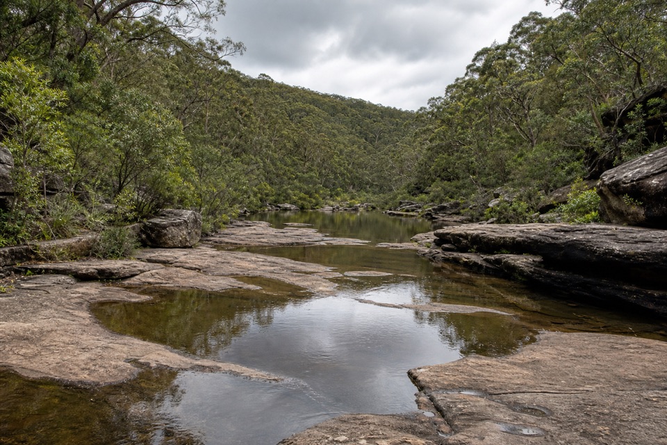 Sight · 2.1 km awayOlympic PoolA broad creek swim worth the steep, rocky walk.
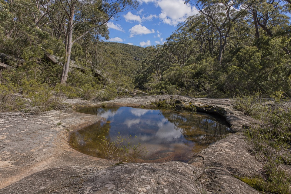 Sight · 3.1 km awayUloola TurretsA sandstone outcrop detour if you’re already walking the Karloo track.
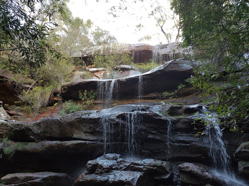 Campground · 3.6 km awayUloola Falls CampgroundAn overnight beside the falls, earned on foot.Sight · 3.6 km awayUloola FallsA walk-in waterfall best seen after rain.
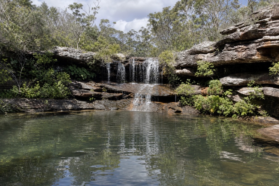 Sight · 3.7 km awayKangaroo PoolA rock-walled creek pool with a small waterfall.
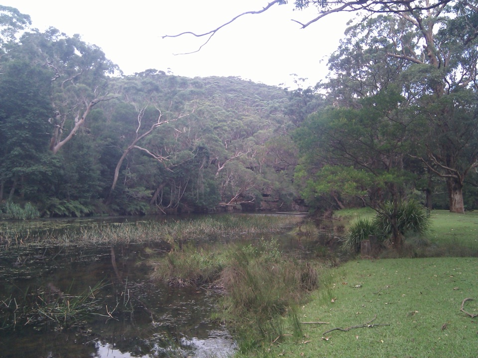 Picnic area · 4.4 km awayWattle Forest Picnic AreaTake lunch to the Hacking River and linger under the trees.
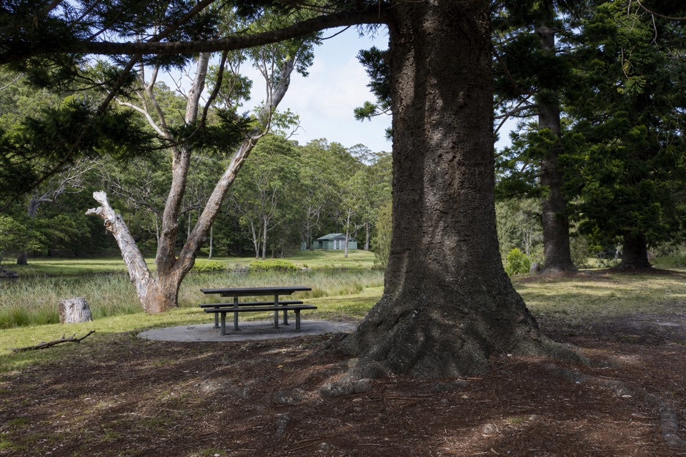 Picnic area · 4.5 km awayCurrawong Flat Picnic AreaA shady river picnic with paddling, fishing and free barbecues.
Parkwolf’s Royal ranking

The audio tour guide for the drive, plus offline maps, trails, and wildlife heatmaps for when the signal drops.





