Parking
Parking is available at Heathcote Train Station. Walk southeast along Wilson Parade; shortly after passing the emergency services centre, follow the sign at the track junction. Station parking capacity is not published.

Royal National Park, NSW
Carry the Karloo Pool walk on to Uloola Falls.
Overview
Map & elevation
Plan your hike

The highest, rockiest slopes around here are a summer buffet for grizzly bears.
Royal Tour Guide
Parkwolf is a GPS audio tour guide for Royal National Park. As you drive, it chimes in with what’s ahead: hidden gems, upcoming stops, history, geology, and wildlife, right through your car’s speakers.
See the Royal audio tourMore stories near here in the app
“Fantastic app with many points of information… It’s great to just turn on while you’re driving and it gives you an audio tour of the national Park. We love it!!!!”


Trail guide
Karloo walking track is a 10 km out-and-back from Heathcote Train Station to Uloola Falls, passing Karloo Pool on the way. The official time is 3–5 hours; plan around four if you want time at both water stops. I’d choose it when you want more than the pool-only outing: a heathland walk with named rock formations and a waterfall at the far end. The 10 km includes the signed approach from the station to the track entrance and back; return along the same line from the falls.
Heathcote Train Station is the starting access and has parking and toilets. Walk southeast along Wilson Parade; shortly after the emergency services centre, follow the sign at the track junction. This approach is part of the distance above, so don’t start your route estimate at the edge of the bush. From the sign, the track is clearly marked. The route uses the same track both ways, so the descent toward the pool becomes an uphill return.
The formed path runs through heathland and drops to Karloo Pool on Kangaroo Creek, a popular swimming and picnic stop. The pool is the obvious pause in the walk: the wider basin is clear, and the rocky creek carries smaller cascades below it. For a photo, keep a sandstone shelf and some of the reflected trees in frame; a tight crop loses the setting. It’s also where the shorter pool visit turns around; if you stop here, you’re not doing the full 10 km to Uloola Falls. On the return, expect to climb back from the creek rather than strolling along a flat shore. The station-to-pool approach is rocky and uneven in places, with many steps and short, steep hills.
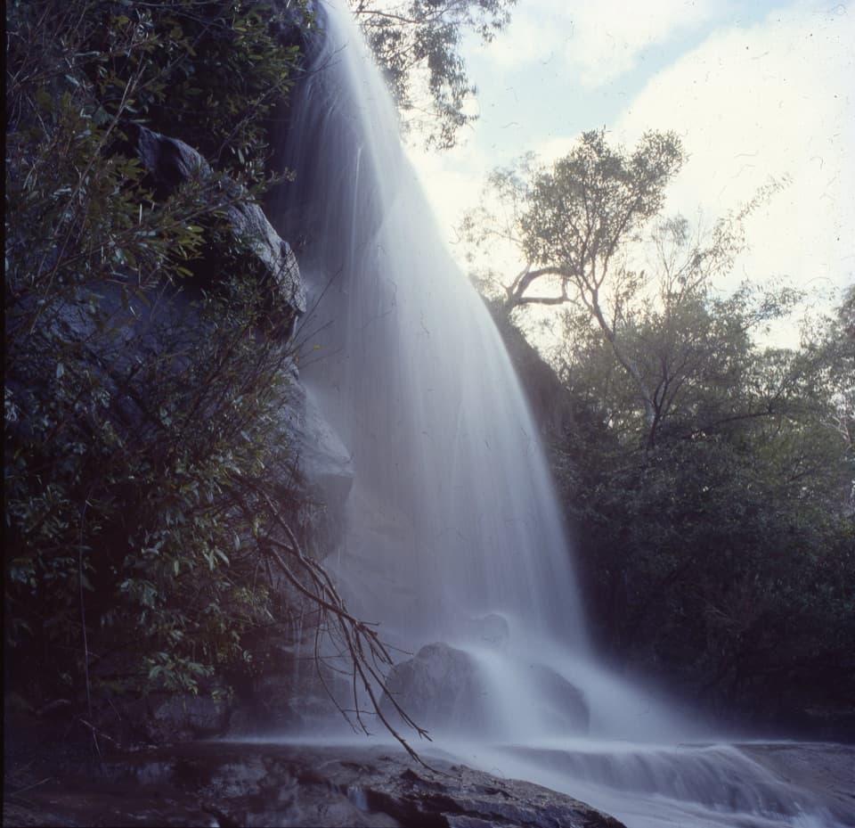
Beyond the pool, the route continues through heathland toward Uloola Falls. Look for the whaleback outcrops, named for their resemblance to whales surfacing for air, and the Uloola Turrets, another group of distinctive rock formations. These give the longer section a couple of specific landmarks to look out for; the walk is not just a way to get from one swimming hole to another. At the far end, a stream drops over a rock ledge beneath trees. Pause for lunch beside the falls before retracing your steps.
This is a Grade 3 bushwalk: a formed, clearly marked path with obstacles, many steps and short steep hills; some bushwalking experience is recommended. Expect the climb back from the pool to take effort. After rain, the track can become boggy, and the clay and rock can feel slippery underfoot. Allow the full three to five hours if you want a swim, photos or a lunch break; a quick out-and-back pace misses what makes the extra miles worthwhile.
Bring drinking water from Heathcote; no refill point is identified along the walk, and mobile reception is limited in the park. There are toilets at the station and by Uloola Falls campground. Overnight campers need to book the campground ahead. Pets and domestic animals are not allowed, except certified assistance animals. The other route choice is to continue from the falls on Uloola walking track to Waterfall Station, but that is a separate point-to-point trip, not the return described here.
Wildlife
 56 sightingsHumpback WhaleMost seen around 11 AMSighting map
 70 sightingsWhite-bellied Sea-EagleMost seen around 9 AMSighting map
 12 sightingsKoalaMost seen around 6 PMSighting map
 34 sightingsJavan RusaMost seen around 6 PMSighting map
 70 sightingsShort-beaked EchidnaMost seen around 5 PMSighting map
 11 sightingsRed FoxMost seen around 5 PMSighting map
Sighting maps show where each species has been reported across Royal. Wildlife moves, so no sighting is guaranteed.
Keep exploring
ModerateKarloo Pools Walk5.4 km · 2.5 hr · At the trailheadA rocky creek walk to a deep swimming hole beneath sandstone cliffs.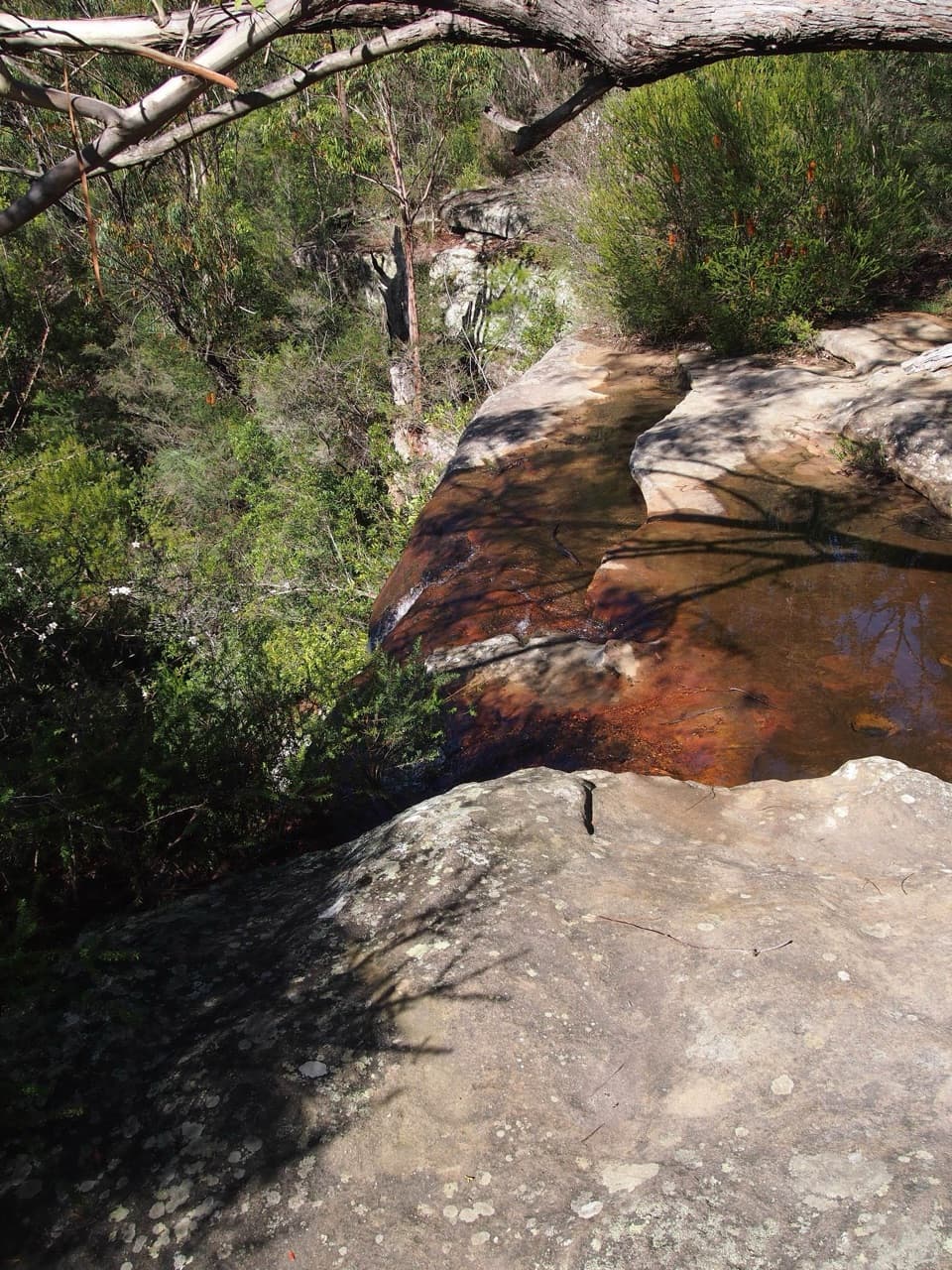 ModerateHeathcote to Waterfall via Uloola Falls11 km · 5 hr · At the trailheadTwo swimming spots reward a one-way walk between rail stations.
 ChallengingHeathcote to Engadine via Audley15.2 km · 6.5 hr · At the trailheadTake two stations through pools, falls and sandstone ridges.
 ChallengingHeathcote to Audley10.1 km · 4.5 hr · 0.1 km awayKarloo Pool and Uloola Falls split up this long one-way walk.
 ModerateKangaroo Creek Pool via Parklands Trail and Engadine Track5.8 km · 2.3 hr · 1.1 km awayA rock pool after a 5.8 km out-and-back bushwalk.ModerateBottle Forest Track to Karloo Pool1.6 km · 45 min · 2.3 km awayA narrow bush track drops from a junction to Karloo Pool.
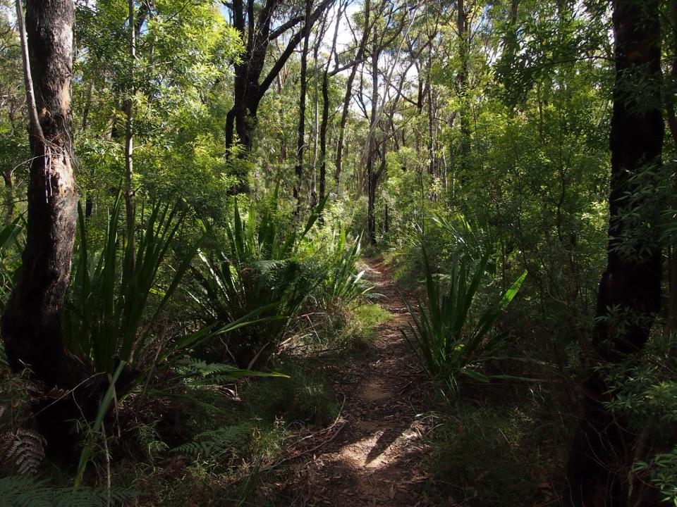 ChallengingEngadine to Audley5.8 km · 2.5 hr · 2.3 km awayA one-way bushwalk over creek gullies to Audley’s river valley.
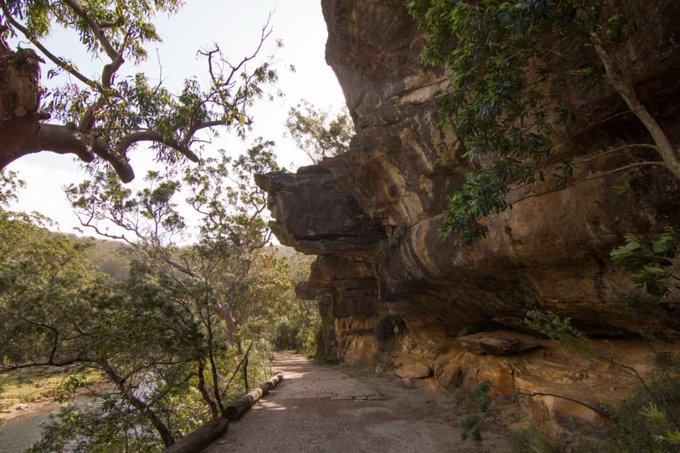 ModerateWillow Tree to Calala Hike10.5 km · 4 hr · 4.4 km awayAn old river road past sandstone, horse troughs and Calala’s beach.Sight · 2 km awayKarloo PoolA clear pool worth the steep walk back uphill.
 Sight · 2.1 km awayOlympic PoolA broad creek swim worth the steep, rocky walk.
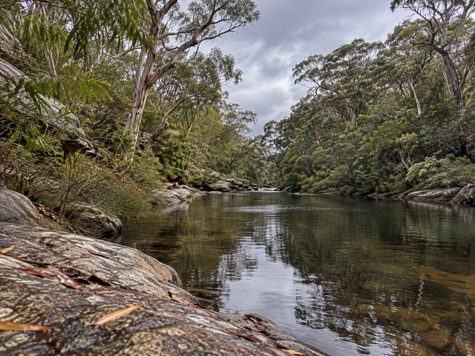 Sight · 3 km awayUloola TurretsA sandstone outcrop detour if you’re already walking the Karloo track.
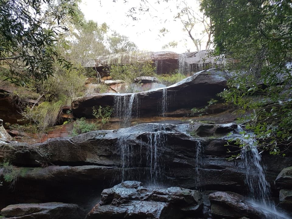 Campground · 3.6 km awayUloola Falls CampgroundAn overnight beside the falls, earned on foot.Sight · 3.6 km awayUloola FallsA walk-in waterfall best seen after rain.
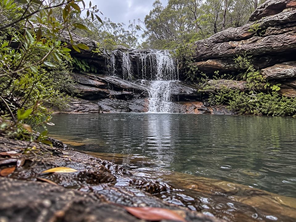 Sight · 3.7 km awayKangaroo PoolA rock-walled creek pool with a small waterfall.
 Picnic area · 4.3 km awayWattle Forest Picnic AreaTake lunch to the Hacking River and linger under the trees.
 Picnic area · 4.5 km awayCurrawong Flat Picnic AreaA shady river picnic with paddling, fishing and free barbecues.
Parkwolf’s Royal ranking

The audio tour guide for the drive, plus offline maps, trails, and wildlife heatmaps for when the signal drops.