Parking
Start at the gate at the foot of platform 2 at Engadine Railway Station and follow the Engadine Track and Audley arrows. Finish at the Royal National Park Visitor Centre in Audley; arrange onward transport before starting.
Royal National Park, NSW
A one-way bushwalk over creek gullies to Audley’s river valley.
Overview
Map & elevation
Plan your hike

The highest, rockiest slopes around here are a summer buffet for grizzly bears.
Royal Tour Guide
Parkwolf is a GPS audio tour guide for Royal National Park. As you drive, it chimes in with what’s ahead: hidden gems, upcoming stops, history, geology, and wildlife, right through your car’s speakers.
More stories near here in the app
“Fantastic app with many points of information… It’s great to just turn on while you’re driving and it gives you an audio tour of the national Park. We love it!!!!”


Trail guide
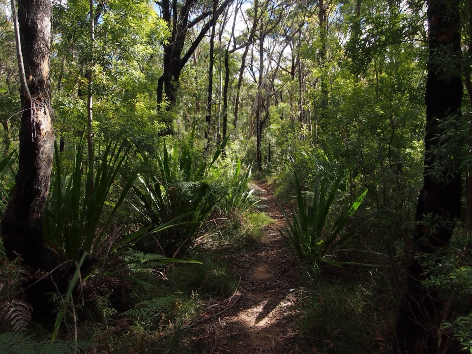
This 5.8 km point-to-point walk starts at Engadine Railway Station and finishes at the Royal National Park Visitor Centre in Audley. Allow about 2 hours 30 minutes. It moves from scrubby ridges into forested creek valleys, climbs a long rocky slope to Robertson’s Roundabout, then drops to the Hacking River. It is a one-way route, not a return to Engadine, so plan how you will leave Audley.
Leave by the gate at the foot of platform 2, follow the management trail with the railway on your left, then turn right at the Engadine Track sign. The early section crosses several branching service tracks, so keep checking for the Audley arrows at junctions. The broad access gives way to narrower bush track through dry scrub and tall eucalypt forest, past creek beds and a small brook.
The trail descends a long, rocky valley track to Kangaroo Creek. The crossing is over rocks; from the creek, a large metal staircase climbs the valley wall. There is another steep, uneven climb around the hillside toward Robertson’s Roundabout. Long rocky slopes and the staircase make the modest distance understate the effort.
Robertson’s Roundabout opens a view over the Hacking River. From there the route turns downhill on rocky steps toward Currawong Flat, crosses the river on a footbridge and follows Lady Carrington Drive to the visitor centre. A bus toward Sutherland is a suggested public-transport return; check the current service before setting out.
Wildlife
 56 sightingsHumpback WhaleMost seen around 11 AMSighting map
 68 sightingsWhite-bellied Sea-EagleMost seen around 9 AMSighting map
 12 sightingsKoalaMost seen around 6 PMSighting map
 33 sightingsJavan RusaMost seen around 6 PMSighting map
 69 sightingsShort-beaked EchidnaMost seen around 5 PMSighting map
 11 sightingsRed FoxMost seen around 5 PMSighting map
Sighting maps show where each species has been reported across Royal. Wildlife moves, so no sighting is guaranteed.
Keep exploring
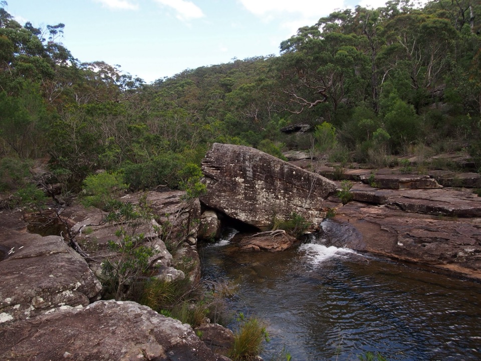 ModerateKangaroo Creek Pool via Parklands Trail and Engadine Track5.8 km · 2.3 hr · 2.1 km awayA rock pool after a 5.8 km out-and-back bushwalk.
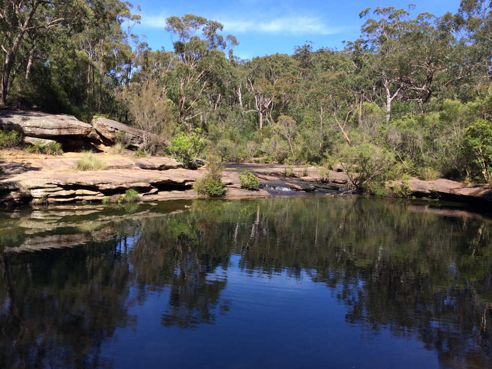 ModerateKarloo Pools Walk5.4 km · 2.5 hr · 2.3 km awayA rocky creek walk to a deep swimming hole beneath sandstone cliffs.ModerateKarloo walking track10 km · 4 hr · 2.3 km awayCarry the Karloo Pool walk on to Uloola Falls.
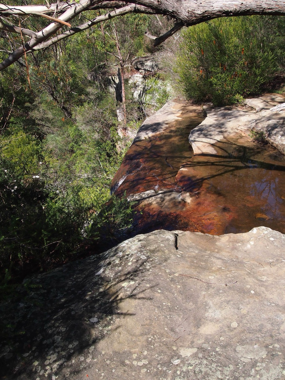 ModerateHeathcote to Waterfall via Uloola Falls11 km · 5 hr · 2.3 km awayTwo swimming spots reward a one-way walk between rail stations.
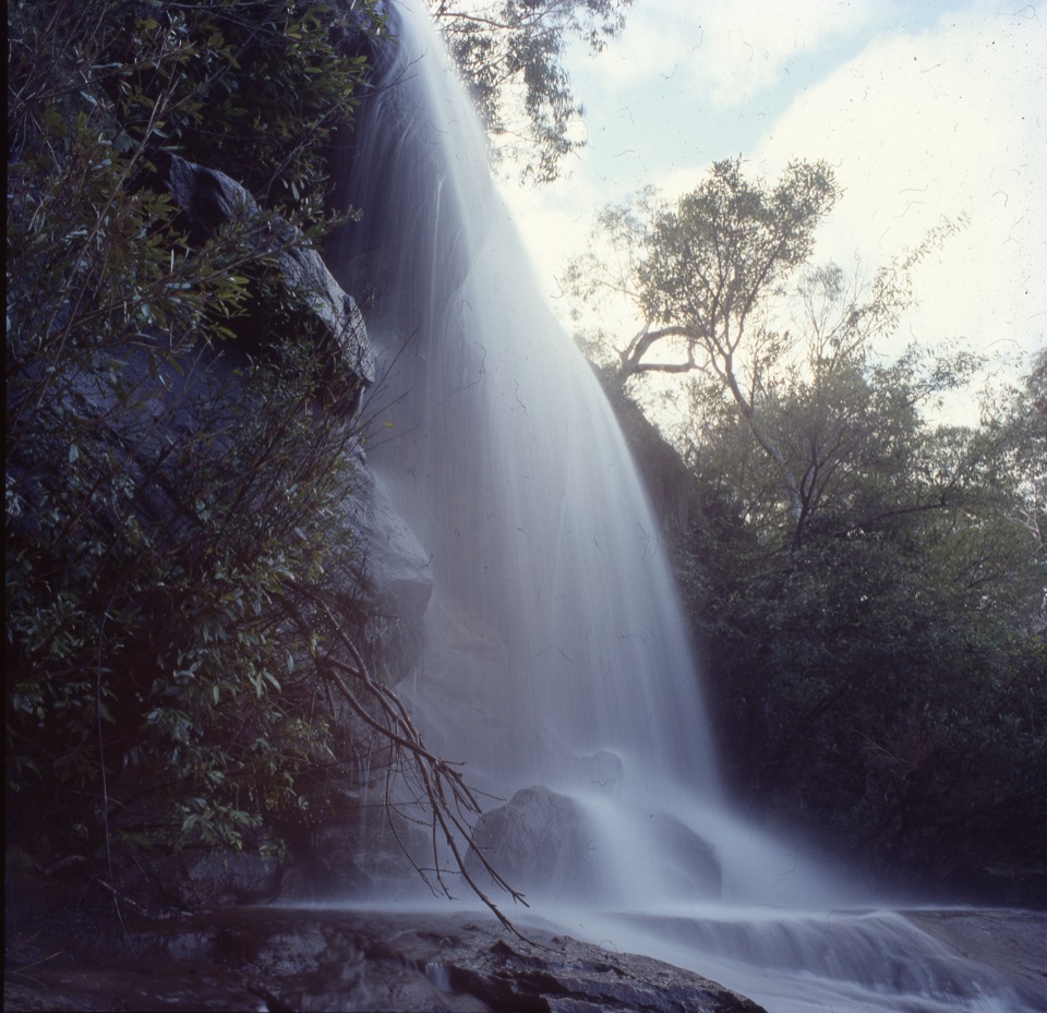 ChallengingHeathcote to Engadine via Audley15.2 km · 6.5 hr · 2.3 km awayTake two stations through pools, falls and sandstone ridges.
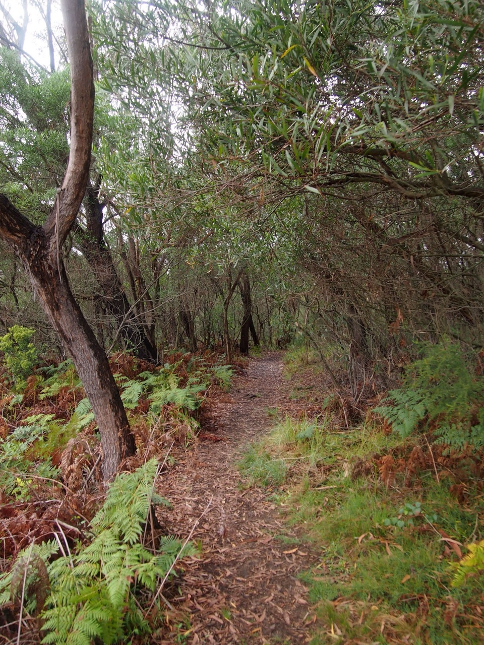 ChallengingHeathcote to Audley10.1 km · 4.5 hr · 2.4 km awayKarloo Pool and Uloola Falls split up this long one-way walk.ModerateBottle Forest Track to Karloo Pool1.6 km · 45 min · 2.9 km awayA narrow bush track drops from a junction to Karloo Pool.
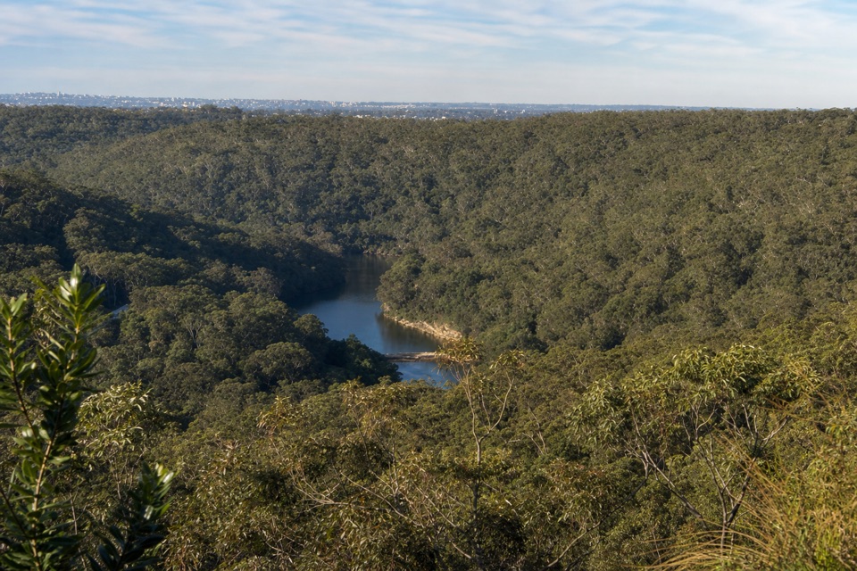 ModerateRobertson's Roundabout Walk2.3 km · 1.3 hr · 3.9 km awayA short, steep loop to a wooded Hacking River lookout.Sight · 3 km awayKarloo PoolA clear pool worth the steep walk back uphill.
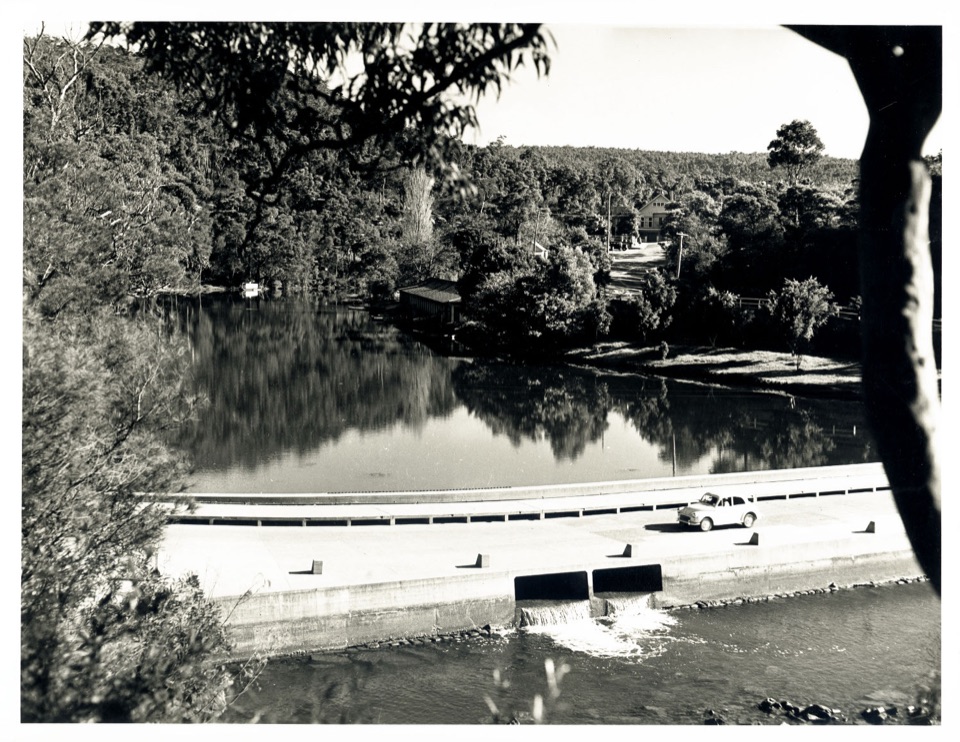 Sight · 3.8 km awayAudley BoatshedHistoric boat hire with a sandstone-lined creek to paddle.
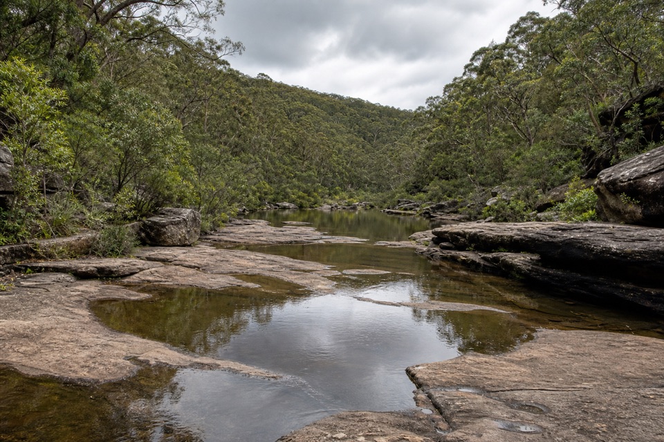 Sight · 3.8 km awayOlympic PoolA broad creek swim worth the steep, rocky walk.
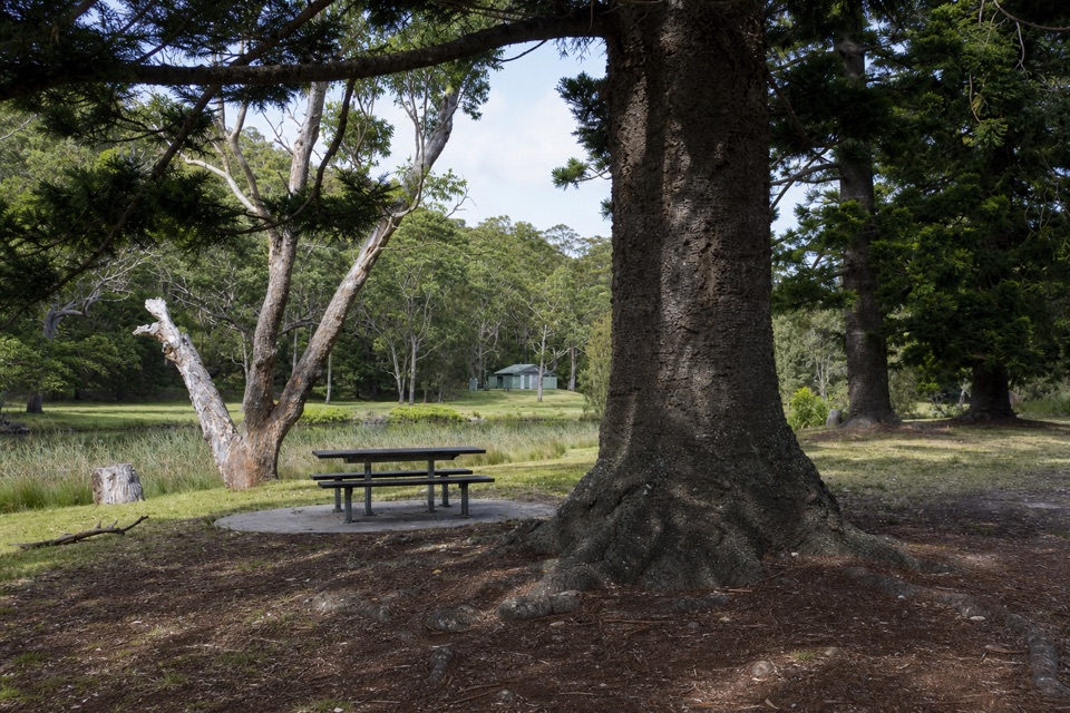 Picnic area · 3.8 km awayCurrawong Flat Picnic AreaA shady river picnic with paddling, fishing and free barbecues.
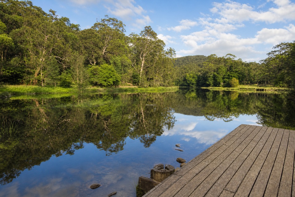 Picnic area · 3.9 km awayIronbark Flat Picnic AreaAn easy riverside lunch with free barbecues and a café nearby.
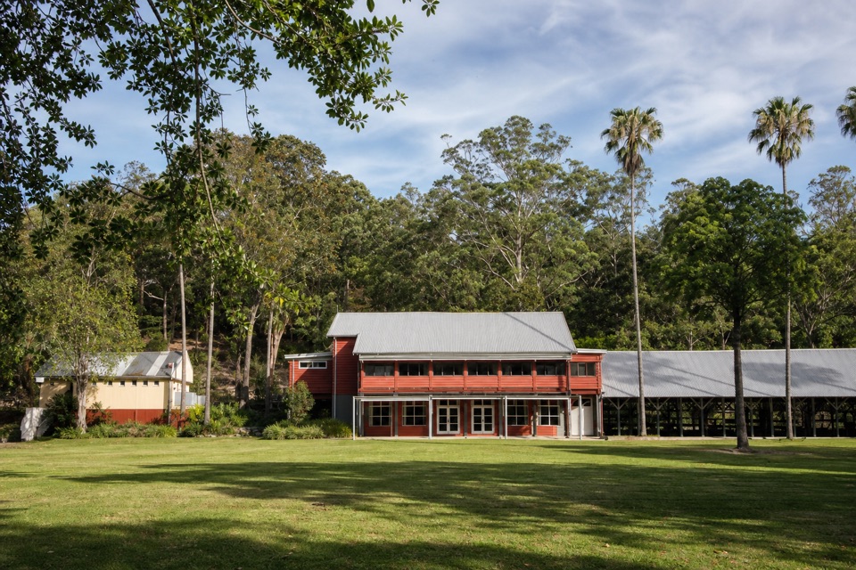 Restaurant · 3.9 km awayAudley Dance Hall CafeCoffee and a river-view veranda in a 1949 dance hall.
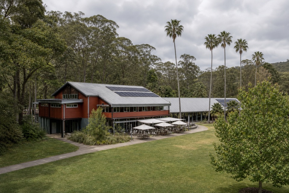 Visitor center · 3.9 km awayRoyal National Park Visitor CentreGet track advice before exploring Audley’s historic riverfront.
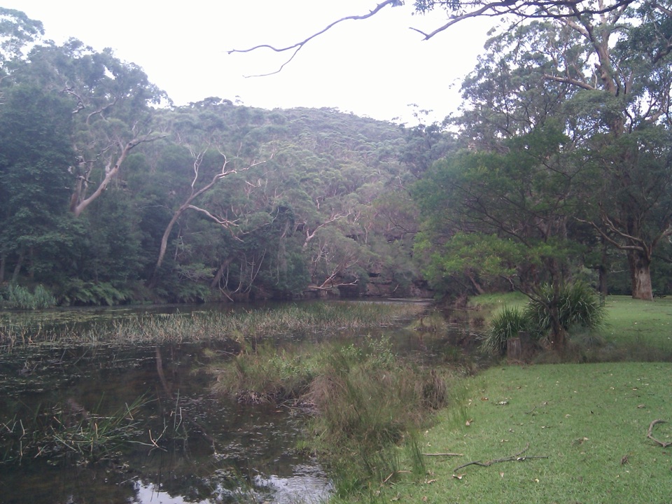 Picnic area · 4.1 km awayWattle Forest Picnic AreaTake lunch to the Hacking River and linger under the trees.
Parkwolf’s Royal ranking

The audio tour guide for the drive, plus offline maps, trails, and wildlife heatmaps for when the signal drops.





