Parking
Reported roadside parking is along Bottle Forest Road. The mapped Parklands/Bottle Forest trail approach adds roughly 1 mile each way to the measured segment; confirm a legal parking spot before leaving your vehicle.
Royal National Park, NSW
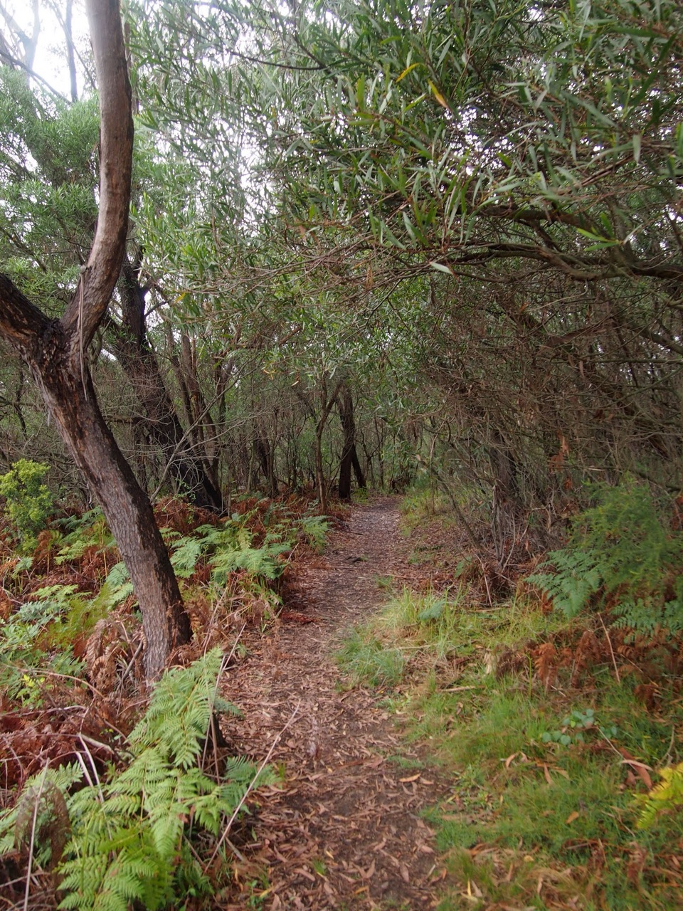
A narrow bush track drops from a junction to Karloo Pool.
Overview
Map & elevation
Plan your hike

The highest, rockiest slopes around here are a summer buffet for grizzly bears.
Royal Tour Guide
Parkwolf is a GPS audio tour guide for Royal National Park. As you drive, it chimes in with what’s ahead: hidden gems, upcoming stops, history, geology, and wildlife, right through your car’s speakers.
Recorded for this area
Willow Tree Walk to Jersey Spring“You're approaching Willow Tree, where you can follow the old Lady Carrington Drive carriageway to Jersey Spring.”
Plays on the road 2.4 km from the trailhead in the Parkwolf Royal Tour Guide.
More stories near here in the app
“Fantastic app with many points of information… It’s great to just turn on while you’re driving and it gives you an audio tour of the national Park. We love it!!!!”


Trail guide
Bottle Forest Track is a roughly 1-mile (1.6 km) point-to-point foot track in Royal National Park. It starts at a junction in the Bottle Forest and Parklands trail network and descends to Karloo Pool. Allow about 40–50 minutes one way; that estimate starts at the junction and leaves out your walk-in from transport. Nearby circuits use parts of the same network but cover different ground, so check which route you mean before relying on loop mileage.
The surface is unpaved singletrack through bushland. The elevation profile drops about 120 m overall, though the path dips and climbs around the hillside. The tread is less obvious at some junctions than a broad fire trail, so keep your route map handy. If you turn around at the pool, count on about 2 miles (3.2 km) total for this measured segment and a harder climb on the return.
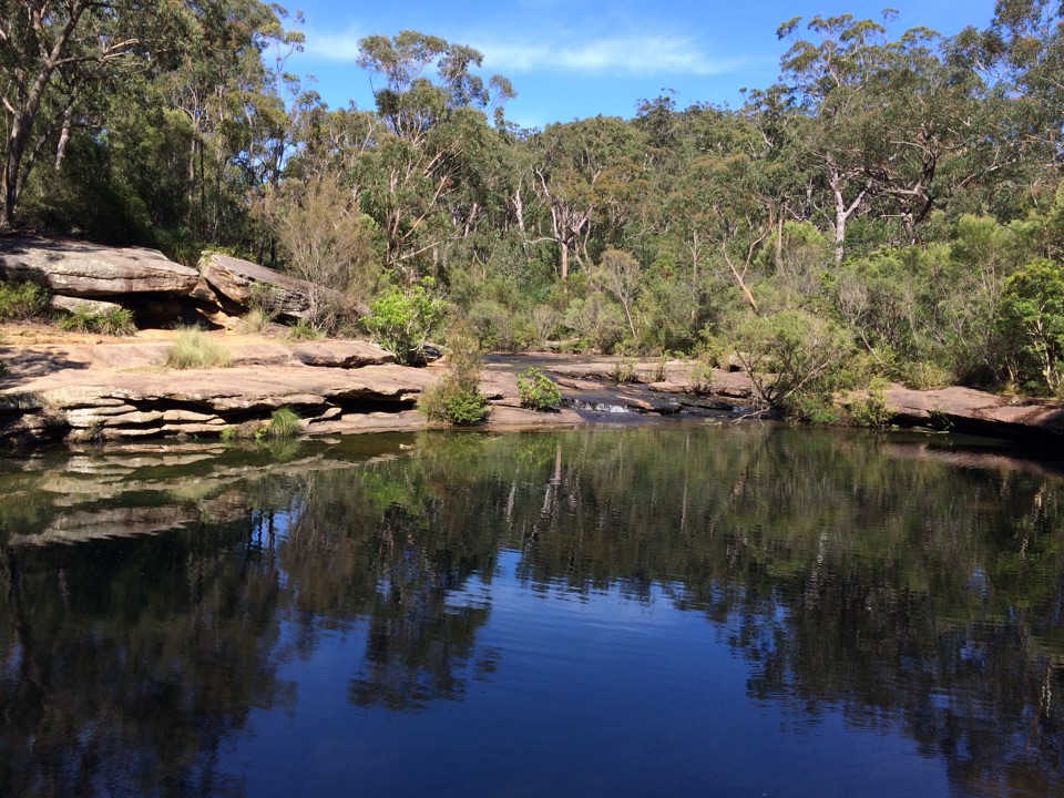
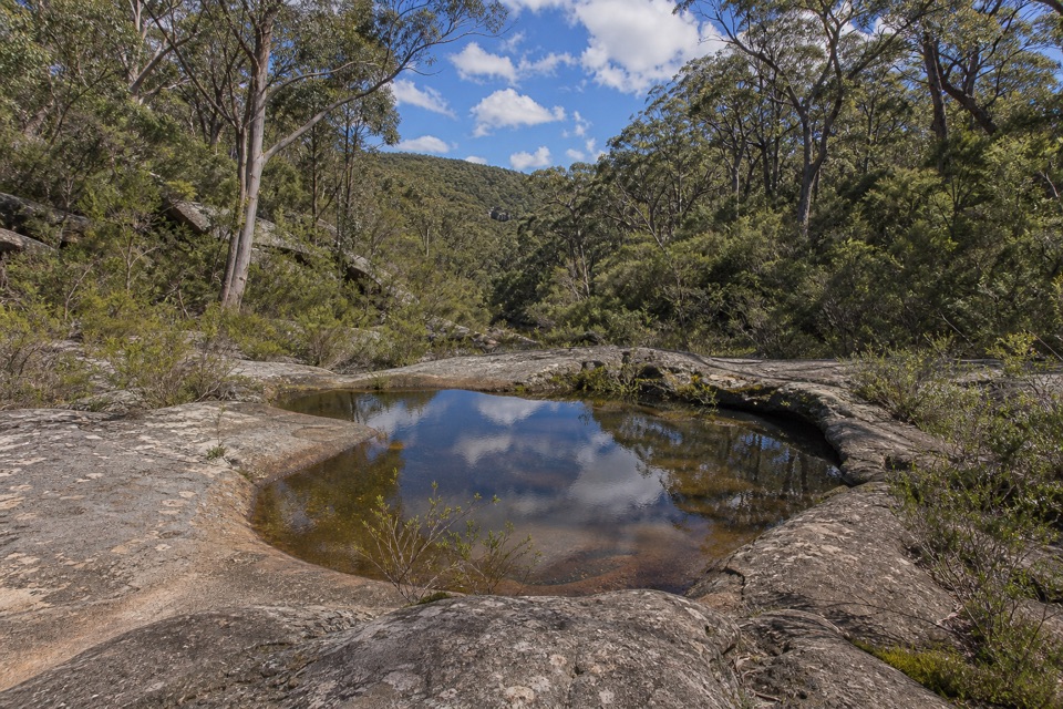
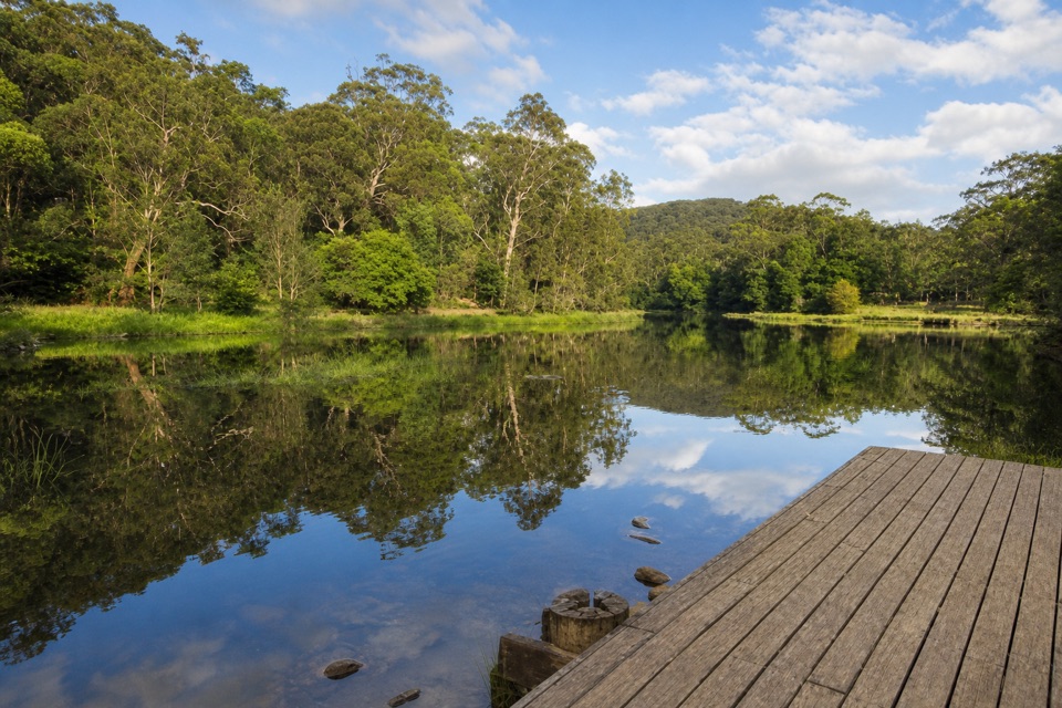
The path reaches the sandstone shelves and still water of Karloo Pool, the payoff at the end of this segment. Take a moment to frame the flat rock edge with the reflections and trees.
This is one section in a larger walking network. The mapped approach from Bottle Forest Road via the connected Parklands and Bottle Forest tracks adds roughly 1 mile each way before you reach the upper junction. Roadside parking is reported along Bottle Forest Road, but confirm a legal spot before leaving your vehicle. Pets are not permitted in Royal National Park.
Wildlife
 56 sightingsHumpback WhaleMost seen around 11 AMSighting map
 68 sightingsWhite-bellied Sea-EagleMost seen around 9 AMSighting map
 12 sightingsKoalaMost seen around 6 PMSighting map
 33 sightingsJavan RusaMost seen around 6 PMSighting map
 69 sightingsShort-beaked EchidnaMost seen around 5 PMSighting map
 11 sightingsRed FoxMost seen around 5 PMSighting map
Sighting maps show where each species has been reported across Royal. Wildlife moves, so no sighting is guaranteed.
Keep exploring
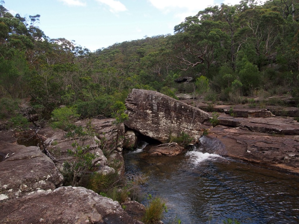 ModerateKangaroo Creek Pool via Parklands Trail and Engadine Track5.8 km · 2.3 hr · 1.3 km awayA rock pool after a 5.8 km out-and-back bushwalk.ModerateKarloo Pools Walk5.4 km · 2.5 hr · 2.3 km awayA rocky creek walk to a deep swimming hole beneath sandstone cliffs.ModerateKarloo walking track10 km · 4 hr · 2.3 km awayCarry the Karloo Pool walk on to Uloola Falls.
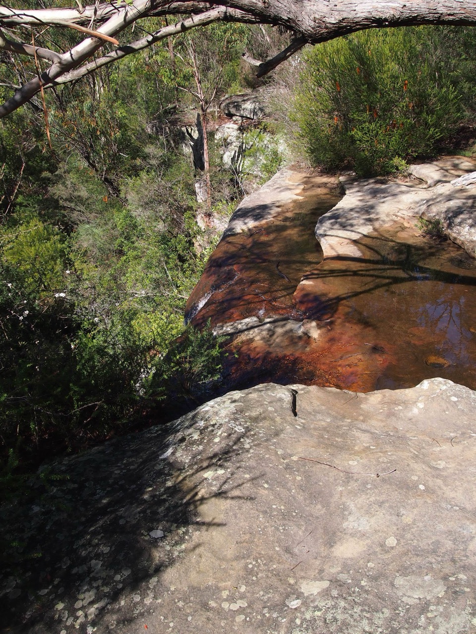 ModerateHeathcote to Waterfall via Uloola Falls11 km · 5 hr · 2.3 km awayTwo swimming spots reward a one-way walk between rail stations.
 ChallengingHeathcote to Audley10.1 km · 4.5 hr · 2.3 km awayKarloo Pool and Uloola Falls split up this long one-way walk.
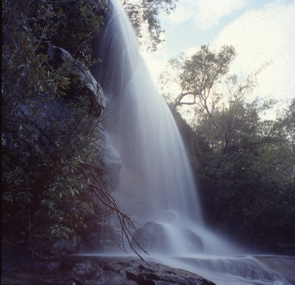 ChallengingHeathcote to Engadine via Audley15.2 km · 6.5 hr · 2.3 km awayTake two stations through pools, falls and sandstone ridges.
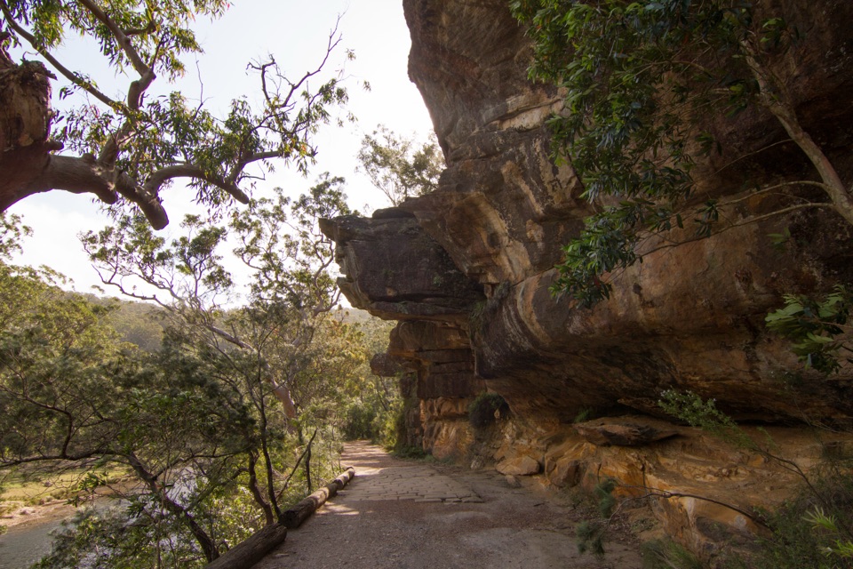 ModerateWillow Tree to Calala Hike10.5 km · 4 hr · 2.3 km awayAn old river road past sandstone, horse troughs and Calala’s beach.
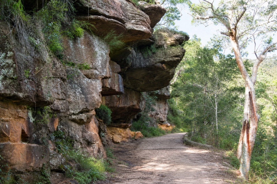 EasyGibraltar Rock Walk0.9 km · 45 min · 2.4 km awayAn easy old road leads to a sandstone overhang above the riverSight · 0.4 km awayKarloo PoolA clear pool worth the steep walk back uphill.
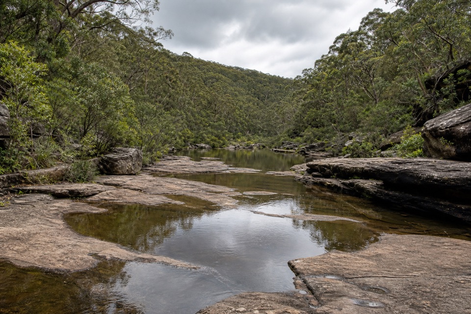 Sight · 1.6 km awayOlympic PoolA broad creek swim worth the steep, rocky walk.
 Sight · 1.6 km awayUloola TurretsA sandstone outcrop detour if you’re already walking the Karloo track.Sight · 2.1 km awayUloola FallsA walk-in waterfall best seen after rain.
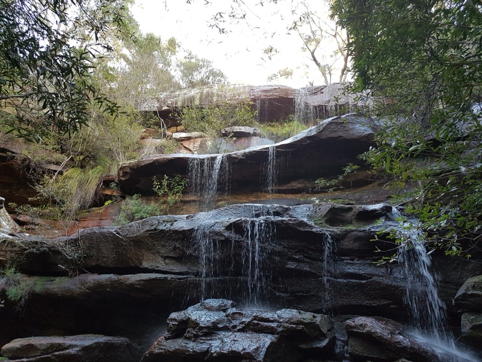 Campground · 2.2 km awayUloola Falls CampgroundAn overnight beside the falls, earned on foot.
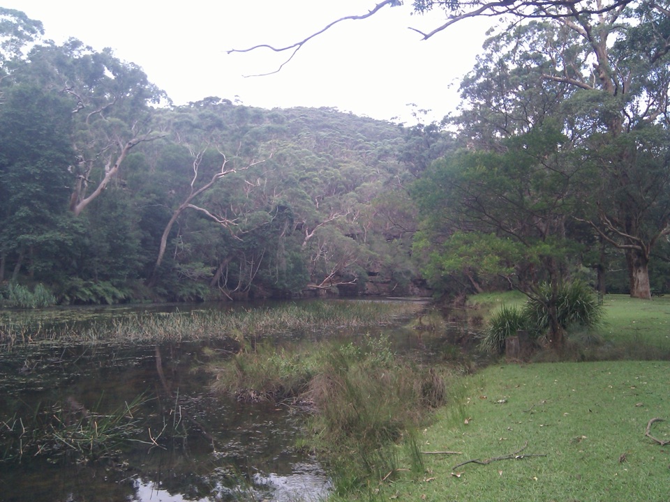 Picnic area · 2.2 km awayWattle Forest Picnic AreaTake lunch to the Hacking River and linger under the trees.
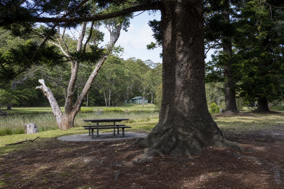 Picnic area · 2.5 km awayCurrawong Flat Picnic AreaA shady river picnic with paddling, fishing and free barbecues.
 Picnic area · 2.7 km awayIronbark Flat Picnic AreaAn easy riverside lunch with free barbecues and a café nearby.
Parkwolf’s Royal ranking

The audio tour guide for the drive, plus offline maps, trails, and wildlife heatmaps for when the signal drops.





