Parking
Use the roadside parking opposite the gated fire-trail entrance on Warumbul Road. The pull-off is small and the gate is easy to miss; park only where the road rules allow.

Royal National Park, NSW
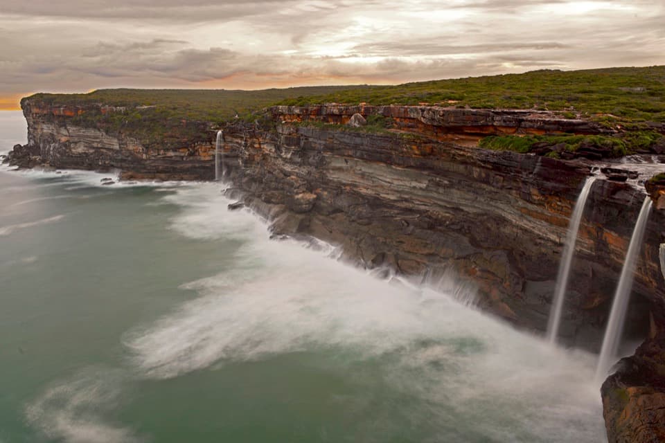
A return fire trail drops to Winifred Falls and its deep pool.
Overview
Map & elevation
Plan your hike

The highest, rockiest slopes around here are a summer buffet for grizzly bears.
Royal Tour Guide
Parkwolf is a GPS audio tour guide for Royal National Park. As you drive, it chimes in with what’s ahead: hidden gems, upcoming stops, history, geology, and wildlife, right through your car’s speakers.
See the Royal audio tourRecorded for this trailhead
Winifred Falls Walking Access“The walking access for Winifred Falls is coming up on Warumbul Road, where a fire trail leads to a broad waterfall and bushland pool.”
Plays as you drive up to this trailhead in the Parkwolf Royal Tour Guide.
More stories near here in the app
“Fantastic app with many points of information… It’s great to just turn on while you’re driving and it gives you an audio tour of the national Park. We love it!!!!”


Trail guide
Winifred Falls Track is a 3 km (1.9 mi) out-and-back from the gated fire trail on Warumbul Road to a waterfall and deep pool. It’s a good short walk when you want a proper water-side payoff, but the last descent is steep and loose; every bit of it becomes a climb on the way back. Allow about 1½ hours, with extra time if you want to linger at the falls.
The first roughly 930 m follows a wide, stony track that’s mostly level, with trees nearby but little shade. The grade changes near the end, where several short, rocky pitches lead down to the falls. At the signposted fork around 1.45 km from the start, take the left branch for Winifred Falls; the right-hand route continues toward Anice Falls and isn’t part of this walk. The route returns the same way, so save some energy for the climb out.
The falls drop over a rock shelf into a deep pool, with smaller cascades and shallow pools near the top. Reaching the water means picking over uneven rock, which can be wet. Flow changes with recent rain, so the cascade may be modest after a dry spell. This is a natural rocky water edge, not a flat place to spread out.
Look for the gated fire-trail entrance on Warumbul Road and use the roadside parking opposite; the entrance is easy to miss and parking is limited. There’s no dedicated park-published route page or map for this track, so check current park access advice before setting out. No toilets or drinking-water point are confirmed at the start or falls; bring what you need. Audley Dance Hall & Cafe is a separate stop near Audley, not a trailhead amenity. Pets aren’t permitted in the park, apart from certified assistance animals.
Some walkers continue about 300 m downstream to South West Arm Pool. That rough, unsigned path is outside the mapped 3 km walk; the pool is tidal, so treat it as a separate choice and check the conditions before heading down.
Wildlife
 56 sightingsHumpback WhaleMost seen around 11 AMSighting map
 70 sightingsWhite-bellied Sea-EagleMost seen around 9 AMSighting map
 12 sightingsKoalaMost seen around 6 PMSighting map
 34 sightingsJavan RusaMost seen around 6 PMSighting map
 70 sightingsShort-beaked EchidnaMost seen around 5 PMSighting map
 11 sightingsRed FoxMost seen around 5 PMSighting map
Sighting maps show where each species has been reported across Royal. Wildlife moves, so no sighting is guaranteed.
Keep exploring
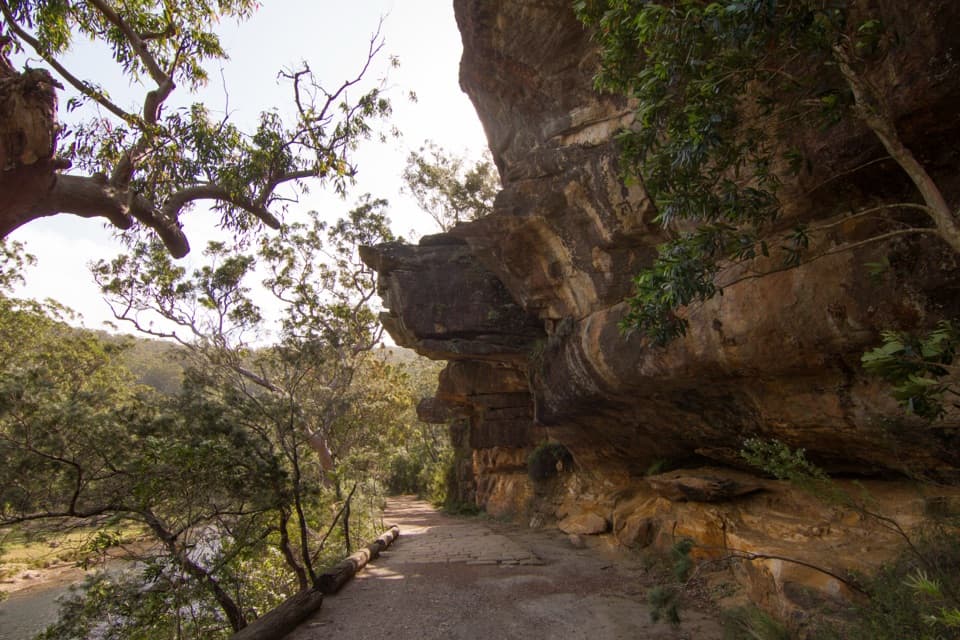 EasyJersey Spring Walk5.2 km · 1.8 hr · 1.7 km awayCobbles, creek culverts, and old horse troughs reward an easy walk.
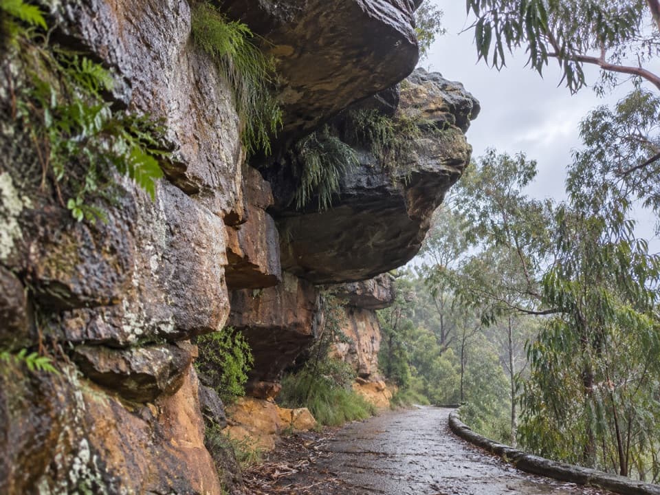 EasyGibraltar Rock Walk0.9 km · 45 min · 1.7 km awayAn easy old road leads to a sandstone overhang above the river
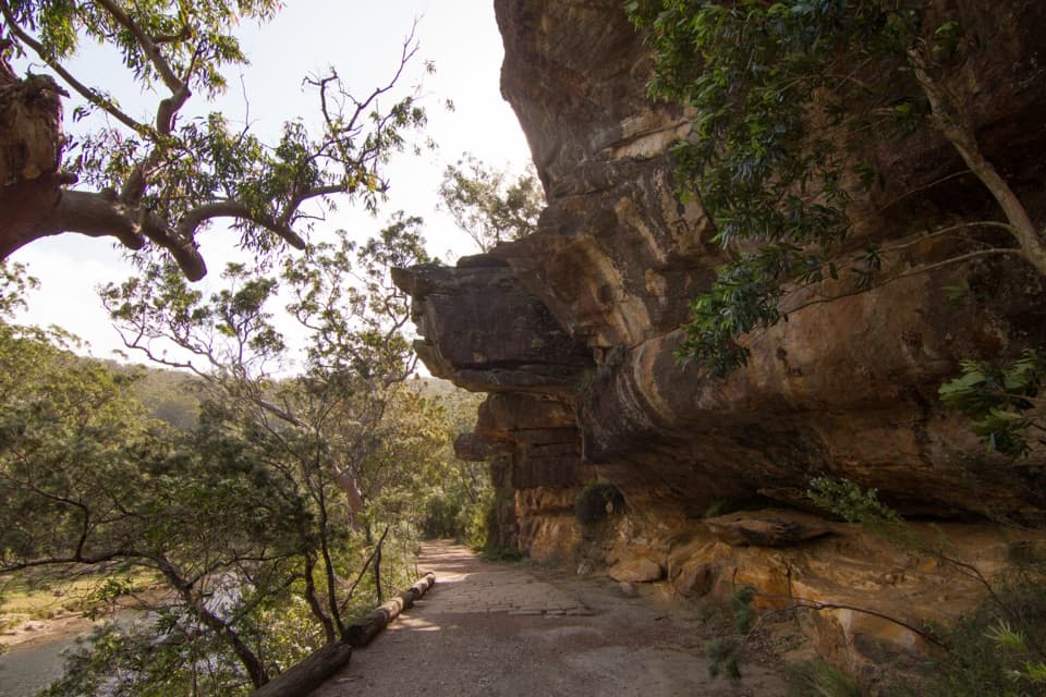 ModerateWillow Tree to Calala Hike10.5 km · 4 hr · 1.7 km awayAn old river road past sandstone, horse troughs and Calala’s beach.
 ModerateRobertson's Roundabout Walk2.3 km · 1.3 hr · 1.8 km awayA short, steep loop to a wooded Hacking River lookout.
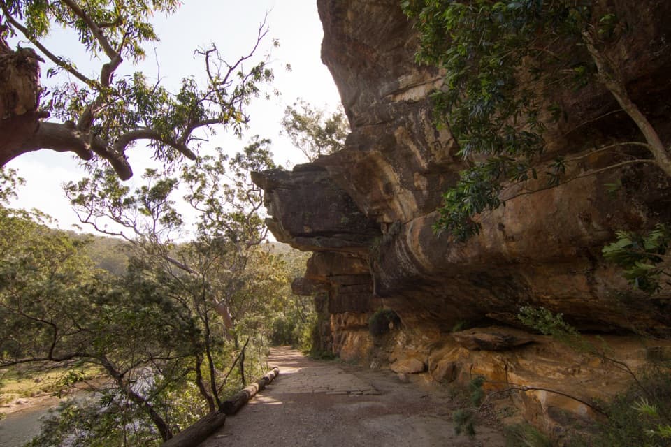 EasyLady Carrington Drive10 km · 3 hr · 1.9 km awayA gentle riverside carriage road, best walked one way.
 ModerateHoneymoon Track3.2 km · 1.5 hr · 2.6 km awayA steep staircase drops more than 600 steps to the Hacking River.
 EasyFlorence Parade Trail to Bungoona Lookout2.4 km · 36 min · 2.7 km awayA short fire-road walk to a sweeping Hacking River lookout.EasyBungoona Lookout and Path0.9 km · 30 min · 2.7 km awayA short, step-free path to a broad Hacking River view
 Sight · 0.8 km awaySouth West Arm PoolDeep water and a tidal sandbar below Winifred Falls.
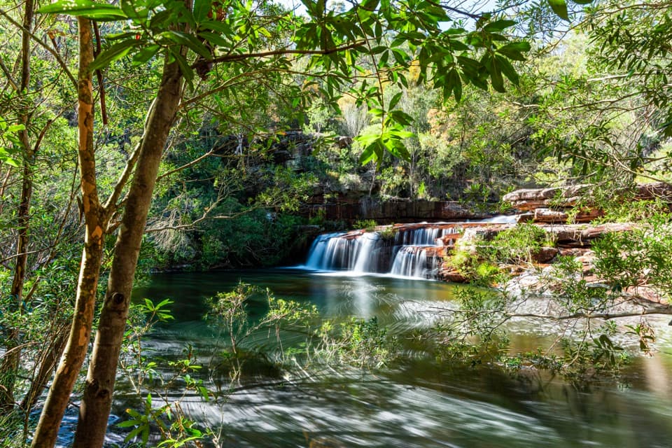 Sight · 1.1 km awayWinifred FallsA rocky bushwalk to a broad waterfall and creekside pool.
 Sight · 1.4 km awayAnice FallsA smaller cascade for a longer Winifred Falls outing.
 Picnic area · 1.6 km awayWattle Forest Picnic AreaTake lunch to the Hacking River and linger under the trees.
 Picnic area · 1.8 km awayPool Flat Picnic AreaA picnic, swim or paddle on the Hacking River.
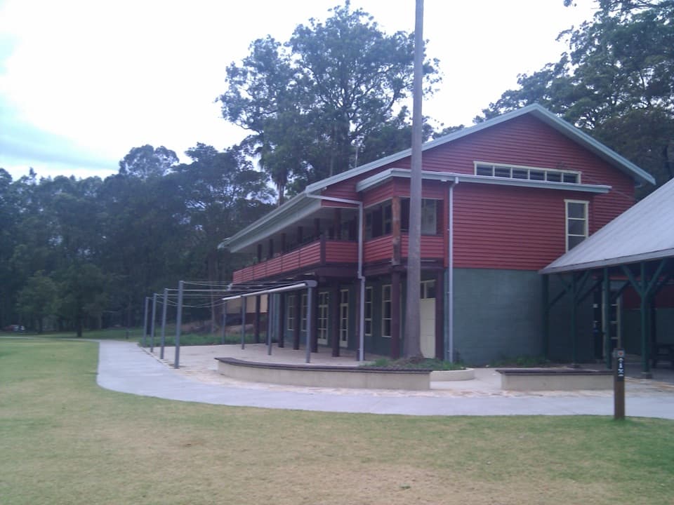 Visitor center · 1.8 km awayRoyal National Park Visitor CentreGet track advice before exploring Audley’s historic riverfront.
 Restaurant · 1.8 km awayAudley Dance Hall CafeCoffee and a river-view veranda in a 1949 dance hall.
 Picnic area · 1.8 km awayCurrawong Flat Picnic AreaA shady river picnic with paddling, fishing and free barbecues.
Parkwolf’s Royal ranking

The audio tour guide for the drive, plus offline maps, trails, and wildlife heatmaps for when the signal drops.