Parking
Start at the visitor parking beside the Royal National Park Visitor Centre at Ironbark Flat, Audley. Currawong Flat has a separate car park along the return route. Vehicle entry to the park is charged; parking capacity was not found.
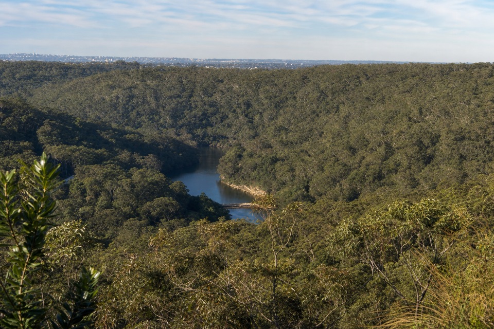
Royal National Park, NSW
A short, steep loop to a wooded Hacking River lookout.
Overview
Map & elevation
Plan your hike

The highest, rockiest slopes around here are a summer buffet for grizzly bears.
Royal Tour Guide
Parkwolf is a GPS audio tour guide for Royal National Park. As you drive, it chimes in with what’s ahead: hidden gems, upcoming stops, history, geology, and wildlife, right through your car’s speakers.
Recorded for this trailhead
Audley Boats, Lunch and the Dance Hall“You're approaching Audley, where you can swap a long walk for a paddle and lunch by the river. The visitor centre is useful for choosing tracks and checking where they start.”
Plays as you drive up to this trailhead in the Parkwolf Royal Tour Guide.
More stories near here in the app
“Fantastic app with many points of information… It’s great to just turn on while you’re driving and it gives you an audio tour of the national Park. We love it!!!!”


Trail guide
Robertson's Roundabout Walk is a 2.3 km loop from the Royal National Park Visitor Centre at Ironbark Flat. It crosses the Hacking River, climbs to Robertson Knoll, and returns via Currawong Flat and Lady Carrington Drive. Allow about 1 hour 15 minutes; the route climbs about 141 m, so the mileage hides a real uphill effort. I'd choose it for a quick lookout walk if rocky steps suit you, not as an easy flat stroll.
The approach crosses the Hacking River on a footbridge, then climbs steeply through open forest. You catch glimpses of the river below as you rise. The ridge changes to dry heath and open woodland, and the tread gets faint in places; follow the arrow markers rather than assuming every worn patch is the main route.
Robertson Knoll is a rocky lookout. Trees partly hide the Hacking River and Audley Weir; move higher on the rocks for a clearer view, and look out toward Cronulla on a clear day. This is the route's photo stop: frame a bend of river beneath the wooded ridge rather than aiming only at the distant skyline.
The descent uses steep rocky steps and zigzags toward Currawong Flat, then reconnects with Lady Carrington Drive and Ironbark Flat. Uneven footing asks for most of your attention here. Currawong Flat has flush toilets, drinking water, picnic tables and free barbecues; Audley Dance Hall Cafe nearby does tea and coffee. Dogs and other pets aren't permitted in Royal National Park.
Wildlife
 56 sightingsHumpback WhaleMost seen around 11 AMSighting map
 68 sightingsWhite-bellied Sea-EagleMost seen around 9 AMSighting map
 12 sightingsKoalaMost seen around 6 PMSighting map
 33 sightingsJavan RusaMost seen around 6 PMSighting map
 69 sightingsShort-beaked EchidnaMost seen around 5 PMSighting map
 11 sightingsRed FoxMost seen around 5 PMSighting map
Sighting maps show where each species has been reported across Royal. Wildlife moves, so no sighting is guaranteed.
Keep exploring
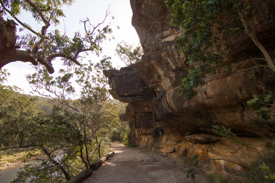 EasyLady Carrington Drive10 km · 3 hr · 0.3 km awayA gentle riverside carriage road, best walked one way.
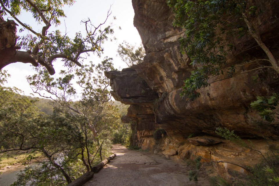 EasyJersey Spring Walk5.2 km · 1.8 hr · 0.4 km awayCobbles, creek culverts, and old horse troughs reward an easy walk.
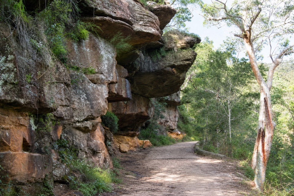 EasyGibraltar Rock Walk0.9 km · 45 min · 0.4 km awayAn easy old road leads to a sandstone overhang above the river
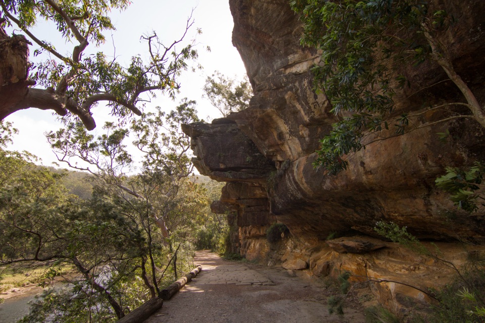 ModerateWillow Tree to Calala Hike10.5 km · 4 hr · 0.4 km awayAn old river road past sandstone, horse troughs and Calala’s beach.
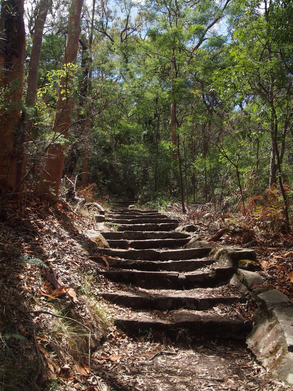 ModerateHoneymoon Track3.2 km · 1.5 hr · 1.3 km awayA steep staircase drops more than 600 steps to the Hacking River.
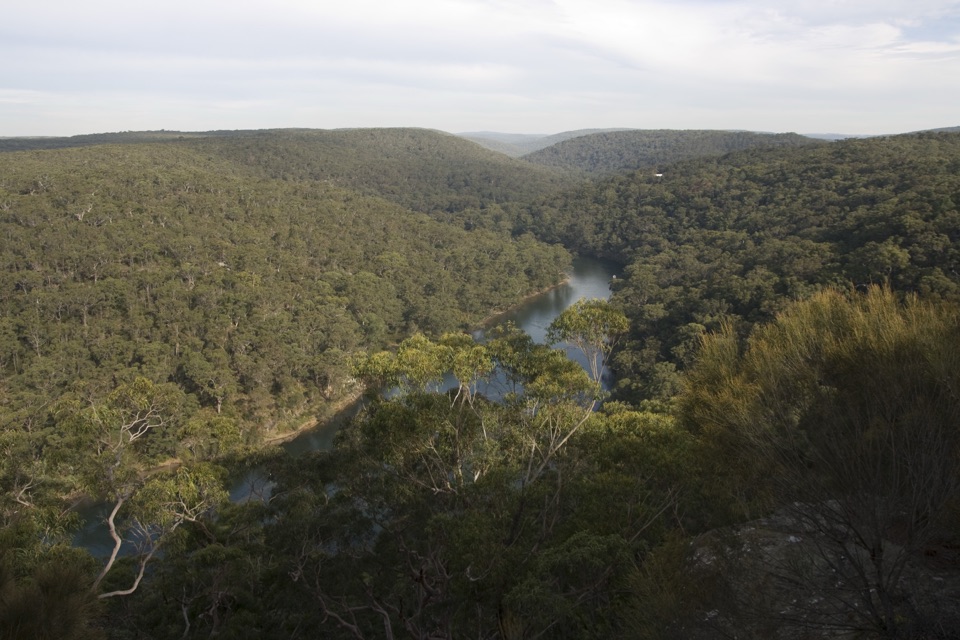 EasyBungoona Lookout and Path0.9 km · 30 min · 1.4 km awayA short, step-free path to a broad Hacking River view
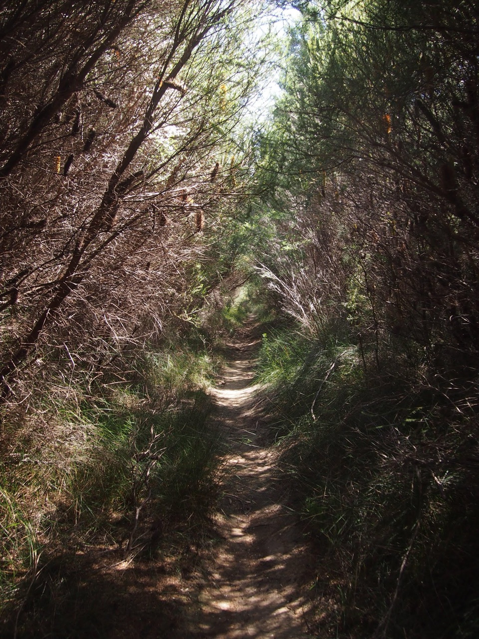 ModerateWinifred Falls Track3.1 km · 1.5 hr · 1.8 km awayA return fire trail drops to Winifred Falls and its deep pool.EasyFlorence Parade Trail to Bungoona Lookout2.4 km · 36 min · 2.3 km awayA short fire-road walk to a sweeping Hacking River lookout.
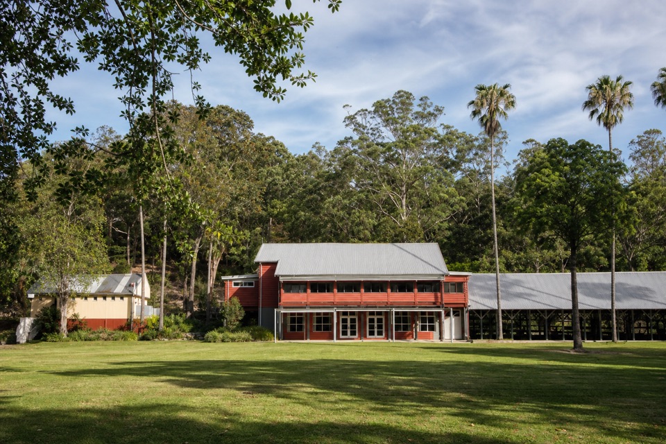 Restaurant · At the trailheadAudley Dance Hall CafeCoffee and a river-view veranda in a 1949 dance hall.
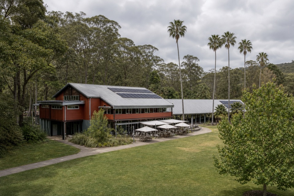 Visitor center · At the trailheadRoyal National Park Visitor CentreGet track advice before exploring Audley’s historic riverfront.
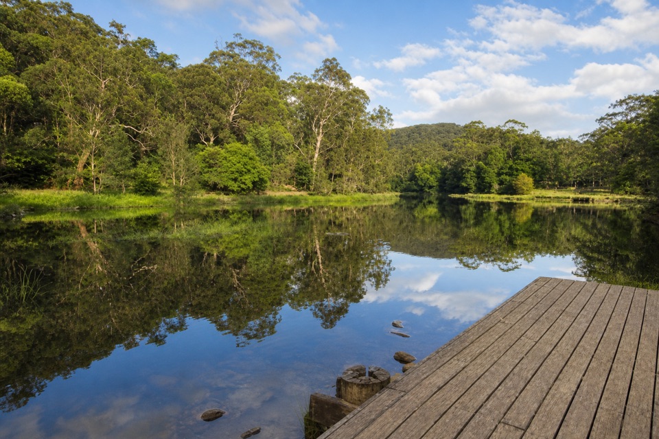 Picnic area · At the trailheadIronbark Flat Picnic AreaAn easy riverside lunch with free barbecues and a café nearby.
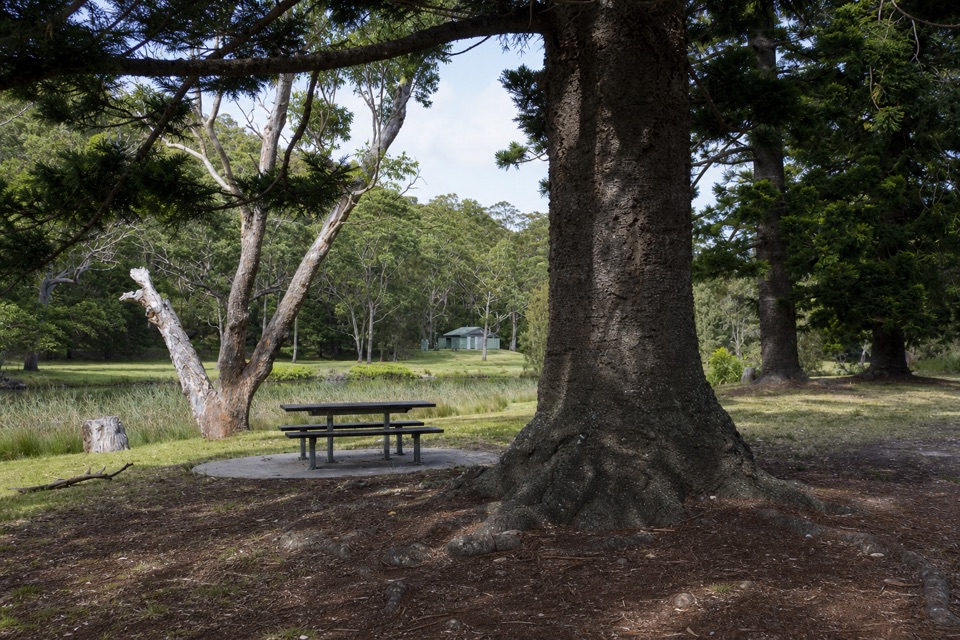 Picnic area · 0.1 km awayCurrawong Flat Picnic AreaA shady river picnic with paddling, fishing and free barbecues.
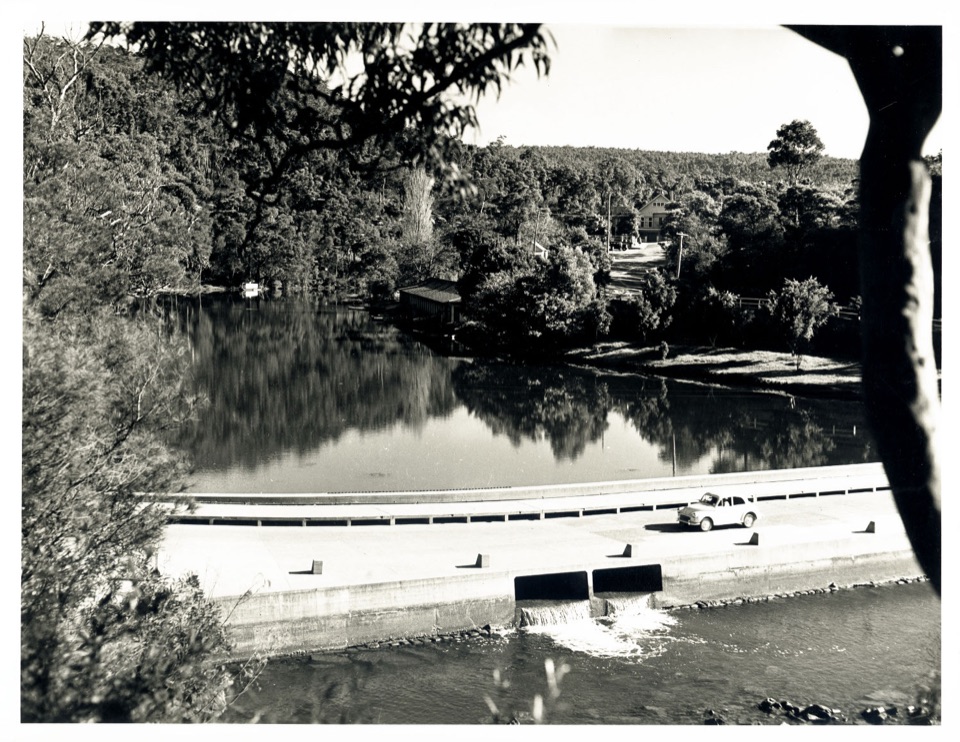 Sight · 0.1 km awayAudley BoatshedHistoric boat hire with a sandstone-lined creek to paddle.
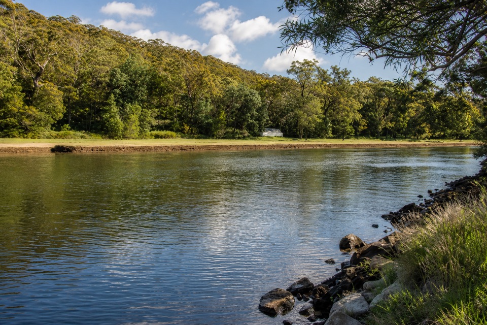 Picnic area · 0.6 km awayPool Flat Picnic AreaA picnic, swim or paddle on the Hacking River.
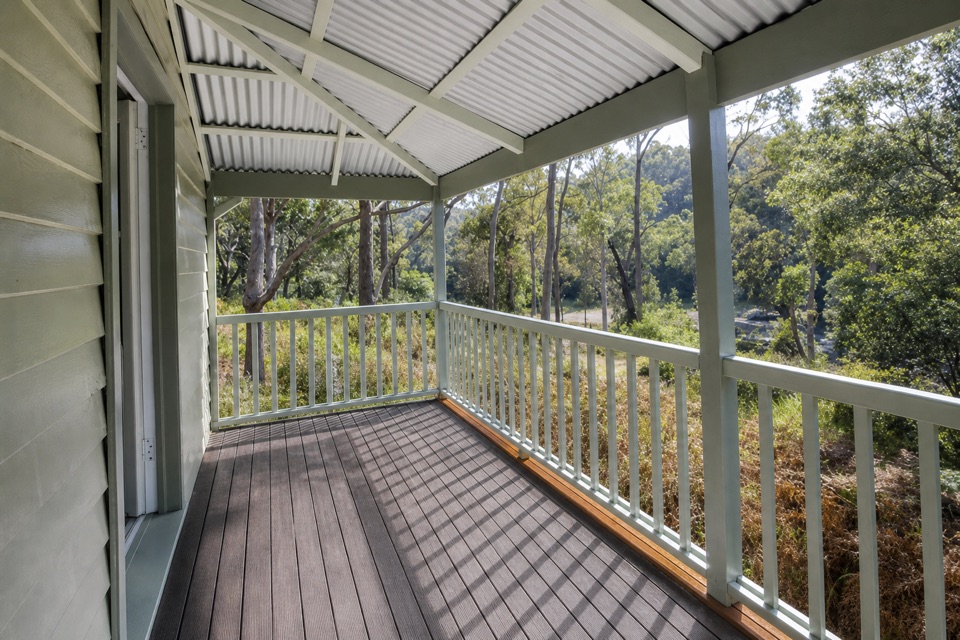 Lodging · 0.6 km awayReids Flat CottageA heritage riverside stay with paddling and cycling close by.
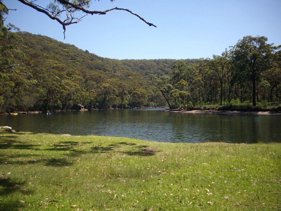 Picnic area · 0.7 km awayReids Flat Picnic AreaShady riverside picnics, free barbecues, and still water for a swim.
Parkwolf’s Royal ranking

The audio tour guide for the drive, plus offline maps, trails, and wildlife heatmaps for when the signal drops.





