Overview
About Winifred Falls
Why stop
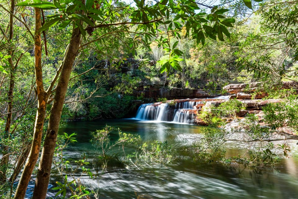
- A broad rock-shelf waterfall spills into a sizeable creek pool.
Heads up
- The rough descent and steep uphill return are tough for unsteady walkers.
Map
Where it is

The highest, rockiest slopes around here are a summer buffet for grizzly bears.
Royal Tour Guide
Your drive to Winifred Falls, narrated.
Parkwolf is a GPS audio tour guide for Royal National Park. As you drive, it chimes in with what’s ahead: hidden gems, upcoming stops, history, geology, and wildlife, right through your car’s speakers.
See the Royal audio tourRecorded for this place
Winifred Falls Walking Access“The walking access for Winifred Falls is coming up on Warumbul Road, where a fire trail leads to a broad waterfall and bushland pool.”
Plays as you drive up to Winifred Falls in the Parkwolf Royal Tour Guide.
More stories near here in the app
- An Echidna’s Prickly Nursery
- Mount Bass Trail to Winifred Falls
- How Rusa Deer Got Here
- One Bird, Many Voices
- 43 audio storiesacross Royal’s roads, triggered by GPS as you drive
- Wildlife heatmapsfor Humpback Whale, White-bellied Sea-Eagle, Koala, and 13 more
- Works offlinemaps, 69 trails, 58 places, and audio download before you lose signal
- CarPlay readysimple controls built for the drive
“Fantastic app with many points of information… It’s great to just turn on while you’re driving and it gives you an audio tour of the national Park. We love it!!!!”


Guide
More about Winifred Falls
Why make the walkWinifred Falls is a broad waterfall on South West Arm Creek, spilling over a rock shelf into a…
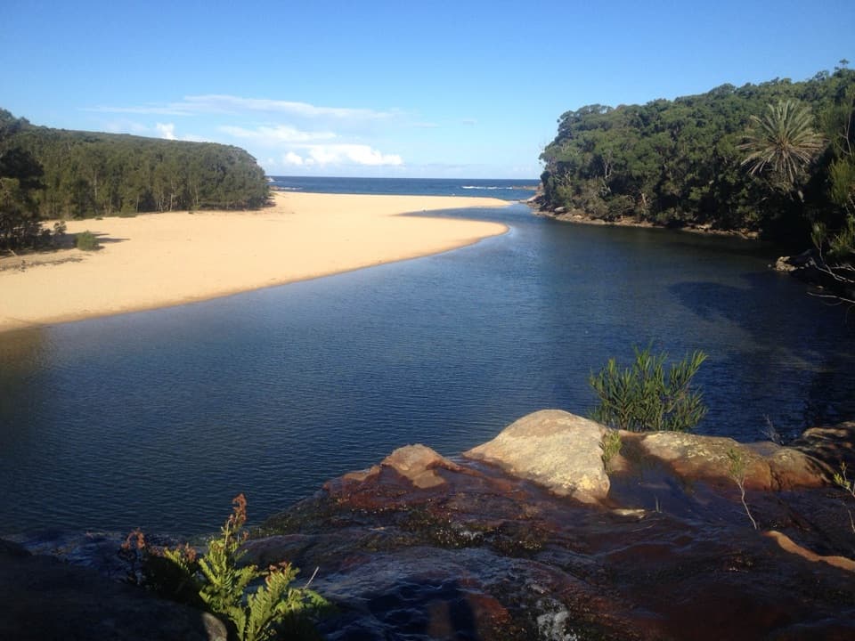
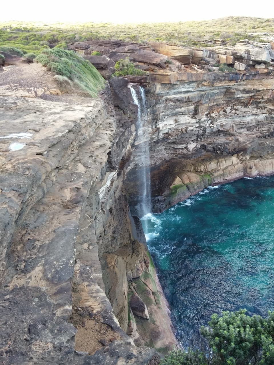
Winifred Falls is a broad waterfall on South West Arm Creek, spilling over a rock shelf into a pool in bushland off Warumbul Road. It’s a worthwhile 3 km return if a waterfall-and-pool stop sounds good, but the last descent is rough and the climb back is steep enough that the distance undersells the effort. The route has about 130 m of elevation change.
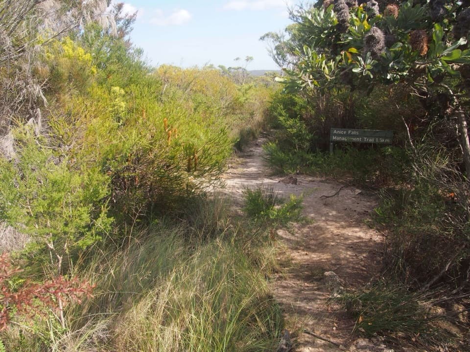
The rough bit is at the endFrom the gated Winifred Falls Fire Trail near Warumbul Road, follow the wide, stony track about…
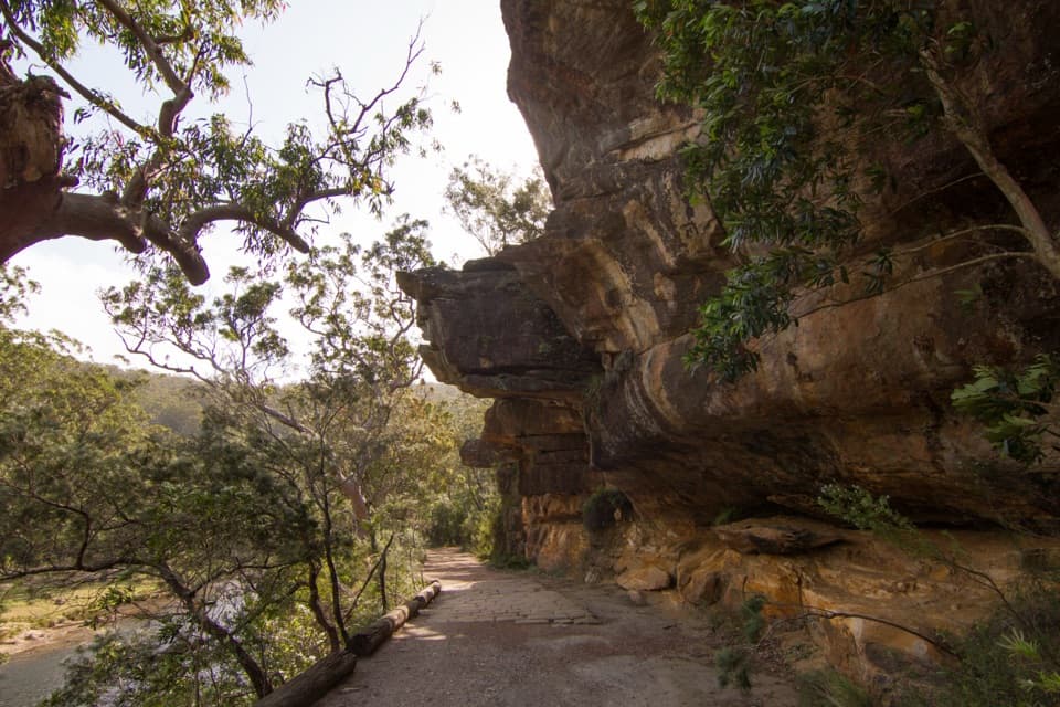
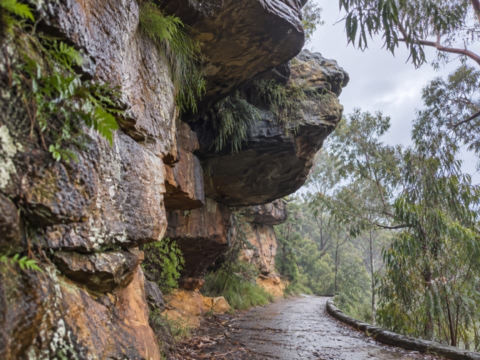
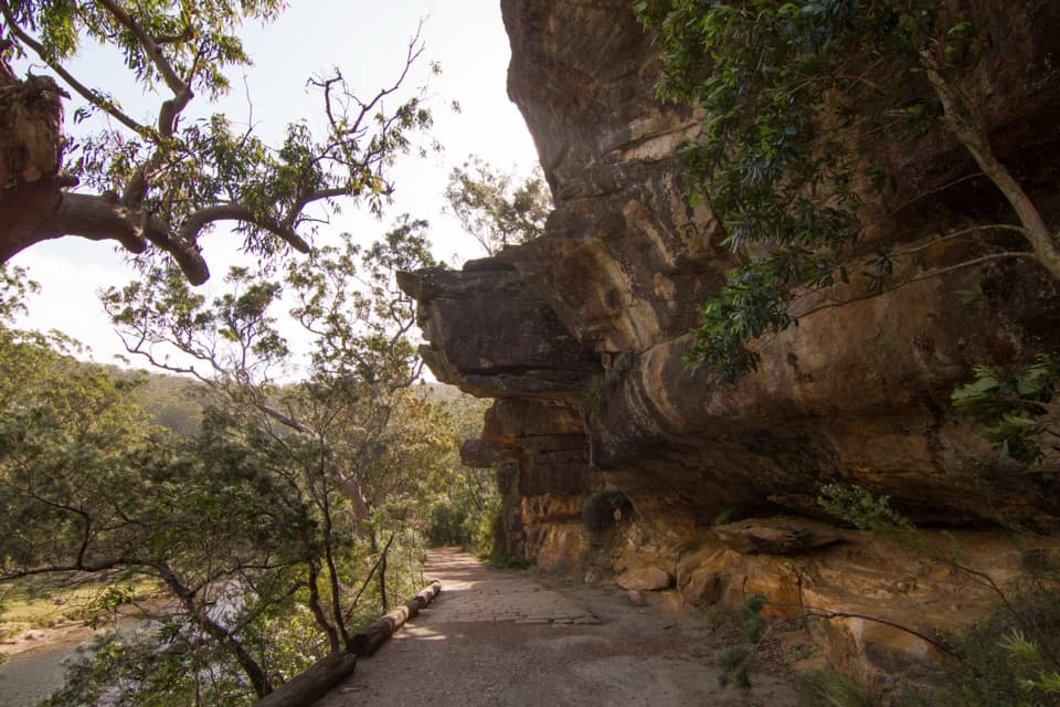
From the gated Winifred Falls Fire Trail near Warumbul Road, follow the wide, stony track about 1.45 km to the signed turn for the falls. The last section drops steeply over loose stone to the creek. A broad cliff edge above the falls gives you a view from above; getting down to the pool means scrambling over uneven, often wet rock. This is a poor fit for prams or anyone unsteady. Parking is roadside by the gate, and there are no toilets or developed facilities at the falls.
Flow changes with rainThe waterfall doesn’t have a guaranteed show: after rain, more water pours over the shelf; in…
The waterfall doesn’t have a guaranteed show: after rain, more water pours over the shelf; in dry weather the flow can be very low or almost still. People swim or paddle in the pool when conditions suit, but the rocky access is rough, so don’t treat it as an easy drop-in. If a strong cascade is the reason you’re going, recent rainfall matters more than the season.
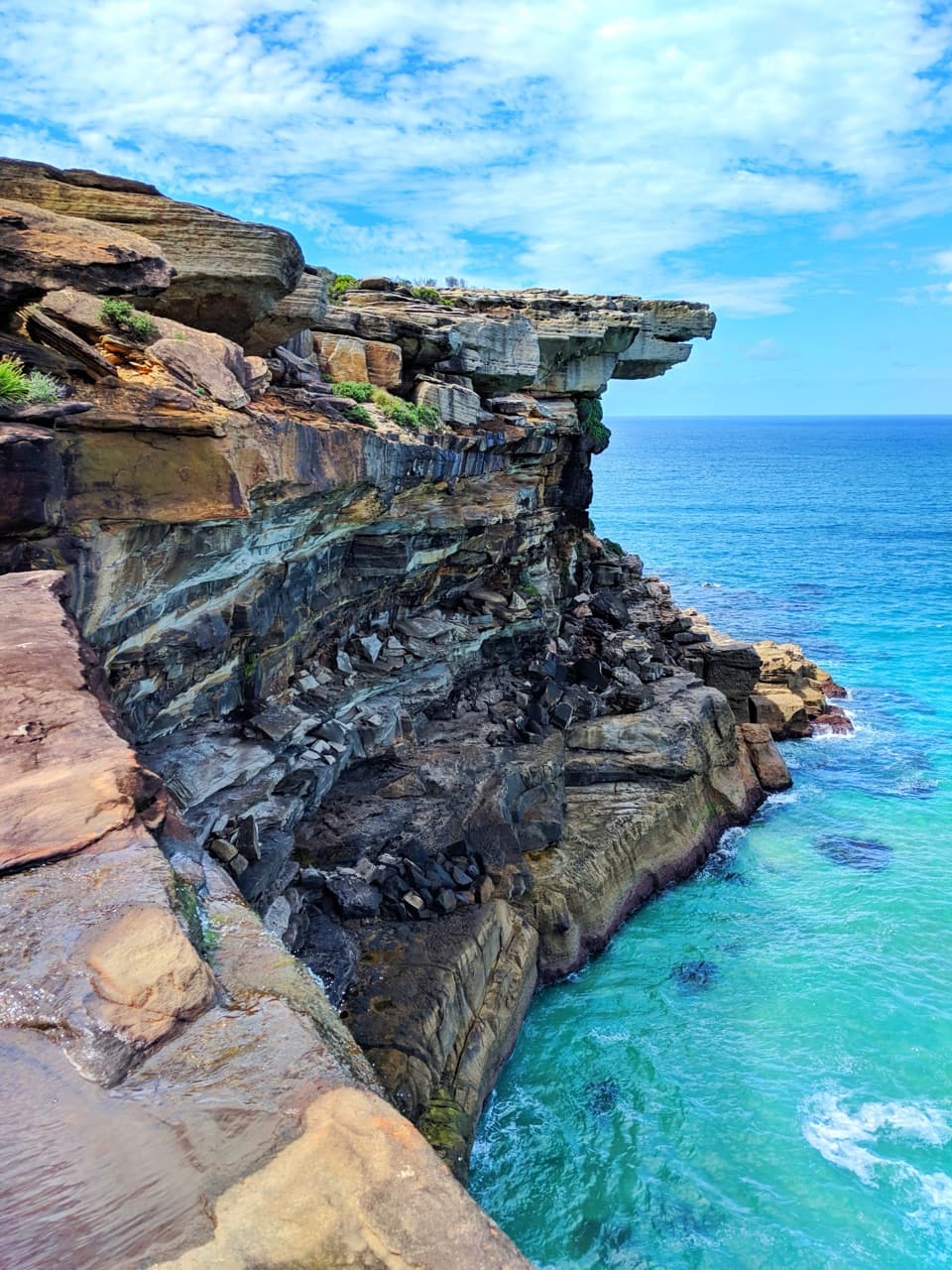
Look from above, then decide about the rocksThe upper edge gives the clearest view of the whole shelf and pool.
The upper edge gives the clearest view of the whole shelf and pool. Getting down to the creek puts the water in the foreground, but it means stepping over wet, uneven rock. South West Arm Pool is a separate spot about 300 m downstream if you want to keep exploring the creek.
Wildlife
Wildlife in Royal
 56 sightingsHumpback WhaleMost seen around 11 AMSighting map
 70 sightingsWhite-bellied Sea-EagleMost seen around 9 AMSighting map
 12 sightingsKoalaMost seen around 6 PMSighting map
 34 sightingsJavan RusaMost seen around 6 PMSighting map
 70 sightingsShort-beaked EchidnaMost seen around 5 PMSighting map
 11 sightingsRed FoxMost seen around 5 PMSighting map
Sighting maps show where each species has been reported across Royal. Wildlife moves, so no sighting is guaranteed.