Anice Falls in Royal National Park

Sight · Royal National Park

Anice Falls

A smaller cascade for a longer Winifred Falls outing.

Photo: Wikimedia Commons
Type
Sight
Nearest trail
1.4 km
Audio stories
10 nearby

Hear the audio tour

Winifred Falls Walking Access

Overview

About Anice Falls

Why stop

  • A second waterfall to add to the Winifred Falls outing.

Heads up

  • Extra walking for a partly screened view.

Map

Where it is

Loading the Royal map
Full map
SightAnice Falls-34.09340, 151.08364
Keep this map with you offline in the Parkwolf app

Plan your stop

Before you go

4 active Royal alerts

  • ClosureOvernight closures for deer-control operationsSpecified areas of Royal National Park are closed between sunset and sunrise from Monday to Thursday, excluding school holidays, through 18 December 2026 so NPWS can carry out deer-control operations.Official details
  • ClosureUnauthorised trail between East Heathcote and Waterfall closedThe unauthorised trail between East Heathcote and Waterfall is formally and physically closed; access is not permitted.Official details
See all 4 alerts
A park ranger sits on a dash-mounted phone, talking, as Parkwolf’s Tour Guide plays “Army Cutworm Moths: A Grizzly Bear Buffet” on Grand Loop Road below Dunraven Pass in Yellowstone
Parkwolf Tour GuideThe highest, rockiest slopes around here are a summer buffet for grizzly bears.

Royal Tour Guide

Your drive to Anice Falls, narrated.

Parkwolf is a GPS audio tour guide for Royal National Park. As you drive, it chimes in with what’s ahead: hidden gems, upcoming stops, history, geology, and wildlife, right through your car’s speakers.

Recorded for this area

Winifred Falls Walking Access
0:00 / 0:29
“The walking access for Winifred Falls is coming up on Warumbul Road, where a fire trail leads to a broad waterfall and bushland pool.”

Plays on the road 1.4 km from Anice Falls in the Parkwolf Royal Tour Guide.

More stories near here in the app

  • An Echidna’s Prickly Nursery
  • How Rusa Deer Got Here
  • Mount Bass Trail to Winifred Falls
  • One Bird, Many Voices
  • 43 audio storiesacross Royal’s roads, triggered by GPS as you drive
  • Wildlife heatmapsfor Humpback Whale, White-bellied Sea-Eagle, Koala, and 13 more
  • Works offlinemaps, 69 trails, 58 places, and audio download before you lose signal
  • CarPlay readysimple controls built for the drive
★★★★★
“Fantastic app with many points of information… It’s great to just turn on while you’re driving and it gives you an audio tour of the national Park. We love it!!!!”
JMJamesApp Store review
Download Parkwolf on the App StoreGet Parkwolf on Google Play

4.7 from 8,600+ ratings

Guide

More about Anice Falls

An optional extension of the Winifred walkAnice Falls is a small cascade on Saddle Gully Creek in Royal National Park.

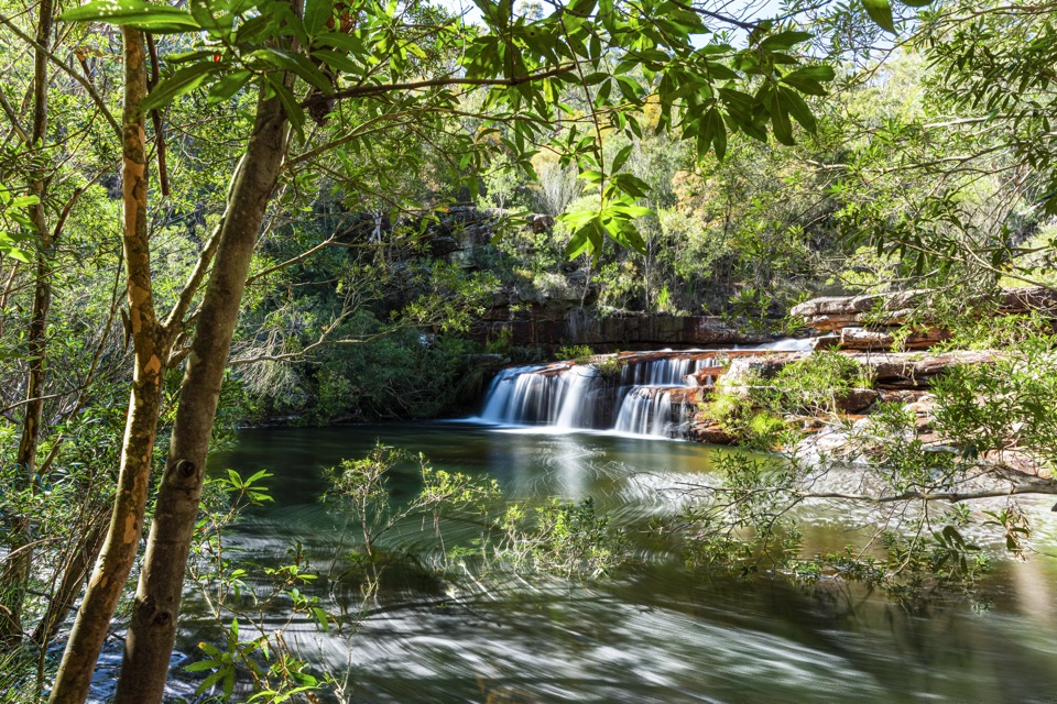
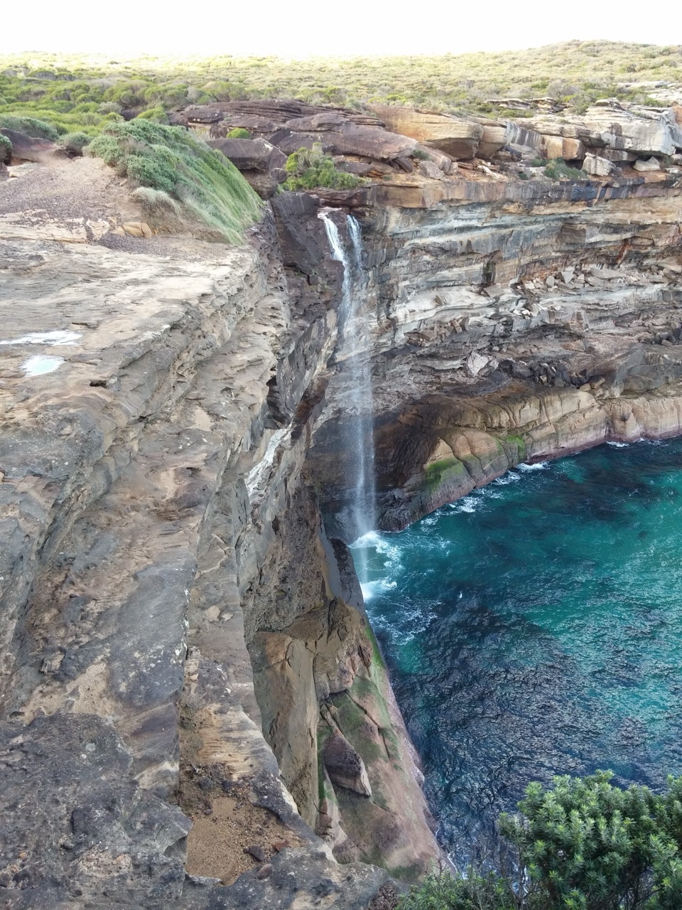
Anice Falls is a small cascade on Saddle Gully Creek in Royal National Park. A described walking route from the Winifred Falls trail adds about 2.8 km return and 120 m of climbing. I'd save the extra distance for a longer outing; Anice is smaller and partly screened, while Winifred is the stronger choice when time is tight.

Getting to the upper platformThe route starts from Warumbul Road and follows the Winifred Falls fire-trail network before…

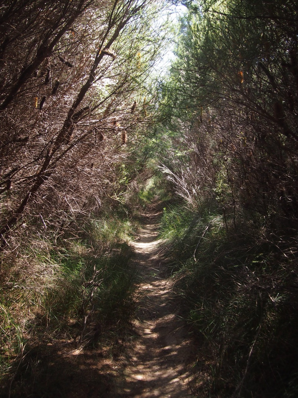
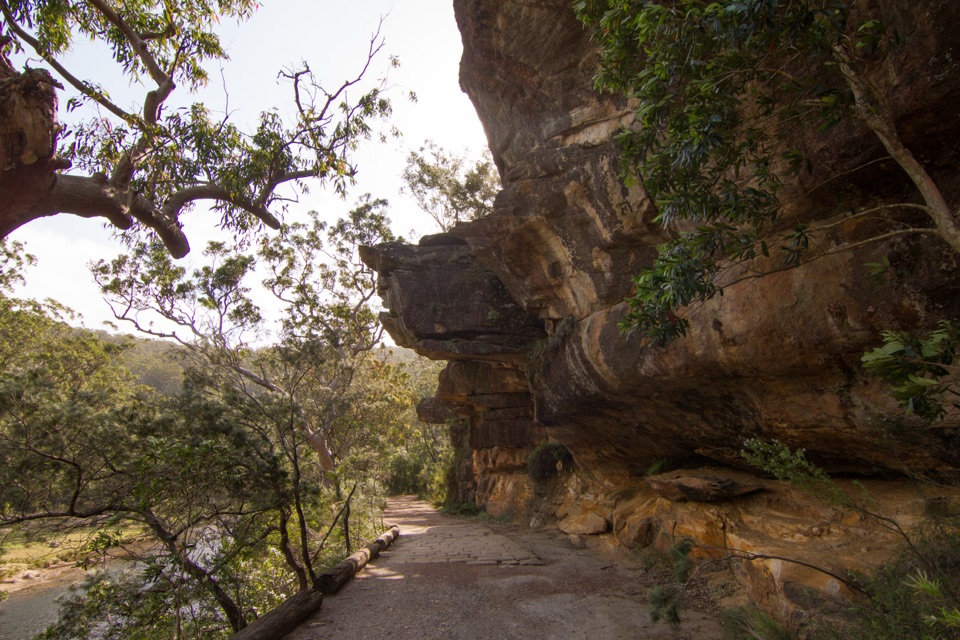
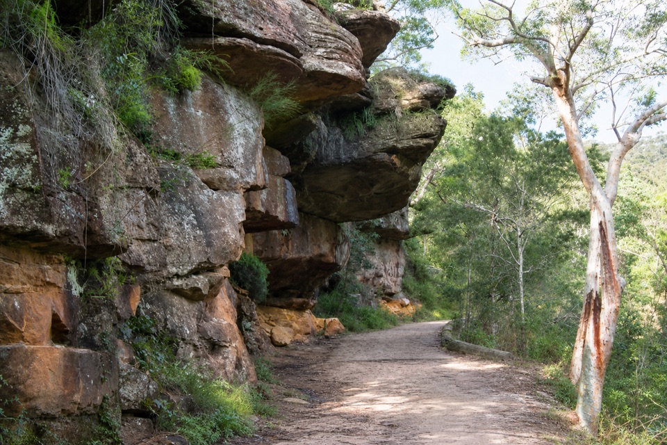
The route starts from Warumbul Road and follows the Winifred Falls fire-trail network before branching toward Anice Falls. It includes creek crossings and uneven, rocky ground; the first crossing can mean wet feet unless the creek is very low, and the rocks can be slippery. The described walk ends at a rock platform above the falls. The side path's current status isn't clear, so check before setting out and stay on marked routes. Reaching the base means leaving the track for a bush-and-boulder scramble; don't treat that as a visitor path.

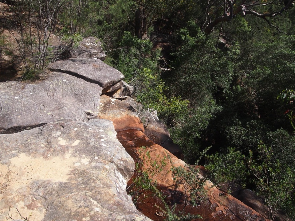
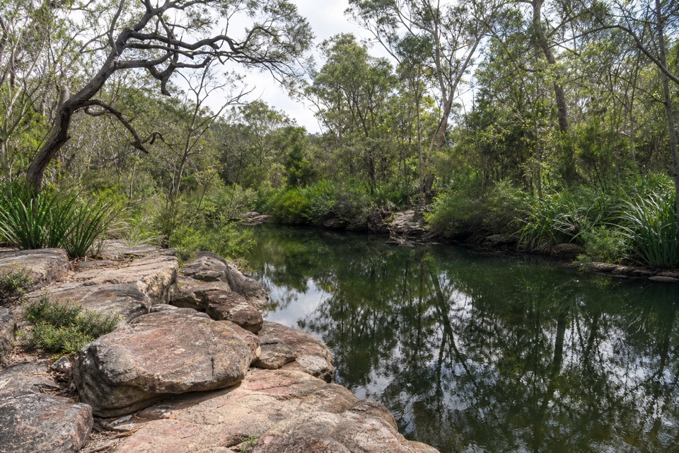
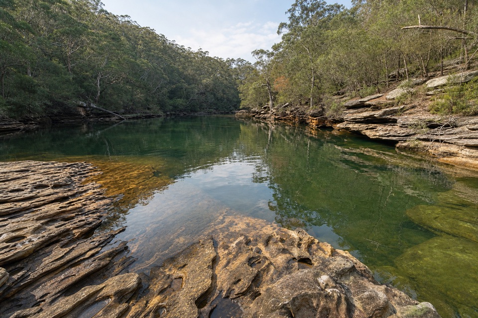
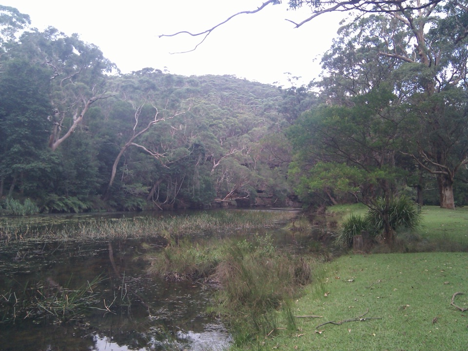
A narrow cascade in the gullySaddle Gully Creek steps over several rock ledges into a shaded, wooded gully and continues…

Saddle Gully Creek steps over several rock ledges into a shaded, wooded gully and continues downstream to South West Arm Creek. Foliage partly blocks the fall from the upper platform, and in dry weather the flow can shrink to a trickle. For photos, keep the water and the pale rock lip together in frame; that shows the small drop better than a close crop of the trees.

Wildlife

Wildlife in Royal

All Royal wildlife maps

Sighting maps show where each species has been reported across Royal. Wildlife moves, so no sighting is guaranteed.

Keep exploring

Near Anice Falls

See it all on the map

Trails nearby

More stops nearby

Parkwolf’s Royal ranking

Top sights in Royal

All 58 places
  1. 1Wattamolla Beach and Picnic AreaBeach
  2. 2Wedding Cake RockSight
  3. 3Figure Eight PoolsSight
  4. 4Eagle RockSight
  5. 5Curracurrong FallsSight
  6. 6Jibbon Rock EngravingsSight

Take Parkwolf to Royal.

The audio tour guide for the drive, plus offline maps, trails, and wildlife heatmaps for when the signal drops.

4.7 from 8,600+ ratings

Download Parkwolf on the App StoreGet Parkwolf on Google Play