Overview
About Royal National Park Visitor Centre
Why stop
- Helpful staff and park-planning resources before you head out
- Historic riverside lawns and Audley sites are close by
Heads up
- The centre itself is a short planning stop; most of the visit is in the surrounding precinct
Map
Where it is

The highest, rockiest slopes around here are a summer buffet for grizzly bears.
Royal Tour Guide
Your drive to Royal National Park Visitor Centre, narrated.
Parkwolf is a GPS audio tour guide for Royal National Park. As you drive, it chimes in with what’s ahead: hidden gems, upcoming stops, history, geology, and wildlife, right through your car’s speakers.
See the Royal audio tourRecorded for this place
Audley Boats, Lunch and the Dance Hall“You're approaching Audley, where you can swap a long walk for a paddle and lunch by the river. The visitor centre is useful for choosing tracks and checking where they start.”
Plays as you drive up to Royal National Park Visitor Centre in the Parkwolf Royal Tour Guide.
More stories near here in the app
- Willow Tree Walk to Jersey Spring
- Reids Flat and Pool Flat Picnics
- Bungoona Lookout and River View
- Winifred Falls Walking Access
- 43 audio storiesacross Royal’s roads, triggered by GPS as you drive
- Wildlife heatmapsfor Humpback Whale, White-bellied Sea-Eagle, Koala, and 13 more
- Works offlinemaps, 69 trails, 58 places, and audio download before you lose signal
- CarPlay readysimple controls built for the drive
“Fantastic app with many points of information… It’s great to just turn on while you’re driving and it gives you an audio tour of the national Park. We love it!!!!”


Guide
More about Royal National Park Visitor Centre
Get your bearings before you set offThe Royal National Park Visitor Centre is a compact NPWS information centre and shop on the…
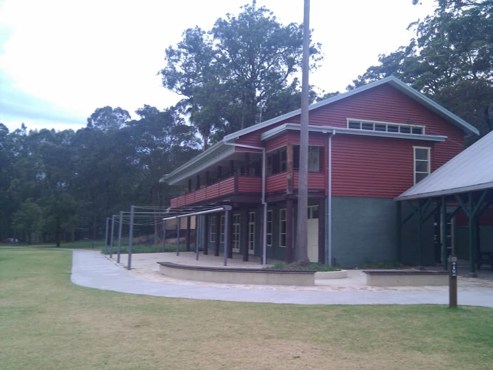
The Royal National Park Visitor Centre is a compact NPWS information centre and shop on the eastern bank of the Port Hacking River, in Audley. It is a useful first stop if you are choosing a walk, beach or other part of the park: staff can advise on tracks and activities, explain accessible options, and sell park passes. The centre also has maps covering walks, picnic areas and swimming spots.
Reception is limited once you leave Audley, so save any route information you need while you still have service. Ask where your chosen walk actually starts before you drive off; many park destinations begin elsewhere.
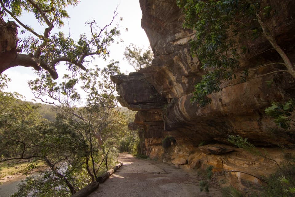
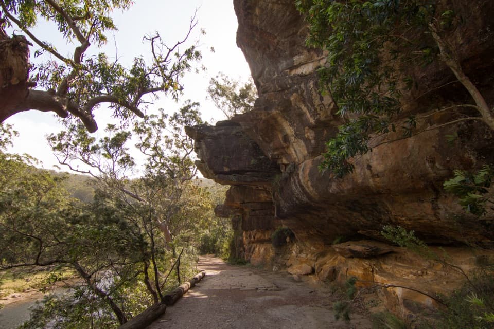
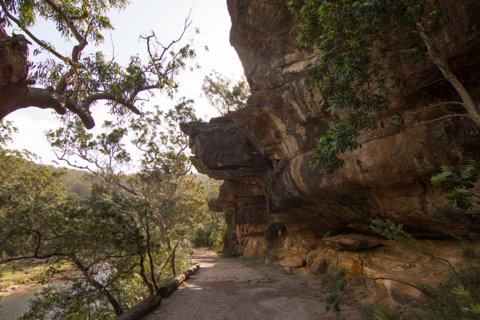
Stay a little longer in AudleyThe centre sits within a flat, grassy riverside precinct shaded by trees.
The centre sits within a flat, grassy riverside precinct shaded by trees. Picnic tables, barbecues and drinking water are nearby, so it is easy to turn a quick information stop into a picnic or a short river break. The adjacent Audley Dance Hall Café is a separate business, with coffee, breakfast and lunch, pastries and house-baked cakes; check its availability separately from the centre.
Getting in and aroundTriangle car park is a gravel lot beside the centre.
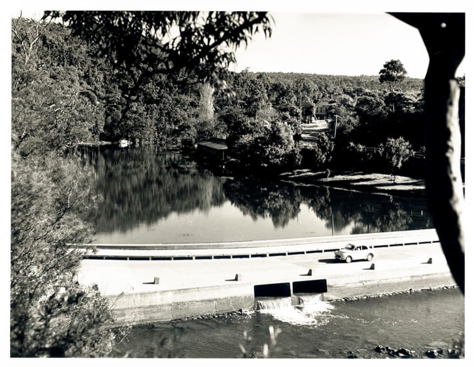
Triangle car park is a gravel lot beside the centre. Coming from Loftus, cross Audley Weir and turn right into the car park just beyond it; from Waterfall, turn left before the weir. A step-free concrete path links the parking area with the centre, café and pavilion. Flush toilets are beside the centre; the accessible toilet requires an MLAK key, and there is a parent-and-carer change facility.
A village made for days outAudley was surveyed in 1863 and developed from 1879 as a recreation village for day-trippers,…
Audley was surveyed in 1863 and developed from 1879 as a recreation village for day-trippers, holiday-makers and honeymooners. Its old accommodation house dates to 1891, the boatshed to 1893 and the Commonwealth Pavilion to 1901. The causeway and picnic lawns are still the heart of the precinct, though some of the original buildings, including Allambie Guesthouse, are gone.
Follow the river from hereThe separate Audley Boatshed is nearby, where the Hacking River meets Kangaroo Creek.
The separate Audley Boatshed is nearby, where the Hacking River meets Kangaroo Creek. A roughly 4-kilometre return paddle heads upstream on the creek between sandstone cliffs, eucalypts and rainforest. It is a good next step if you want more than a planning stop: start with advice here, then spend your time on the water or among Audley's historic buildings and lawns.
Wildlife
Wildlife in Royal
 56 sightingsHumpback WhaleMost seen around 11 AMSighting map
 70 sightingsWhite-bellied Sea-EagleMost seen around 9 AMSighting map
 12 sightingsKoalaMost seen around 6 PMSighting map
 34 sightingsJavan RusaMost seen around 6 PMSighting map
 70 sightingsShort-beaked EchidnaMost seen around 5 PMSighting map
 11 sightingsRed FoxMost seen around 5 PMSighting map
Sighting maps show where each species has been reported across Royal. Wildlife moves, so no sighting is guaranteed.