Parking
Start at the Grays Point Road access beside Grays Point Public School. The nearby parking area is on the school side of the road near the end of the street.
Royal National Park, NSW
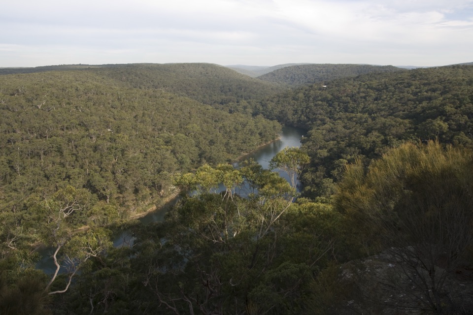
A short fire-road walk to a sweeping Hacking River lookout.
Overview
Map & elevation
Plan your hike

The highest, rockiest slopes around here are a summer buffet for grizzly bears.
Royal Tour Guide
Parkwolf is a GPS audio tour guide for Royal National Park. As you drive, it chimes in with what’s ahead: hidden gems, upcoming stops, history, geology, and wildlife, right through your car’s speakers.
Recorded for this area
Bungoona Lookout and River View“You're coming up on the path to Bungoona Lookout, an easy way to see the Hacking River from above. Allow about half an hour return on a smooth concrete path designed for wheelchairs and prams.”
Plays on the road 1.5 km from the trailhead in the Parkwolf Royal Tour Guide.
More stories near here in the app
“Fantastic app with many points of information… It’s great to just turn on while you’re driving and it gives you an audio tour of the national Park. We love it!!!!”


Trail guide
Florence Parade Trail is a 2.4 km out-and-back from Grays Point Road to a ridge-top view over the Hacking River. The approach is a rough fire-road corridor rather than an easy paved stroll; allow 30–40 minutes for the return, with loose gravel, rocks and sandy patches underfoot. At the large fork, keep left for Bungoona Lookout. The right branch leads toward Temptation Creek on steeper, rockier ground and does not reach the lookout. If you need a shorter outing, turning back at the fork makes a 1.5 km return.
Start from the access beside Grays Point Public School near the end of Grays Point Road. Florence Parade is a broad unpaved track, but its loose surface makes it less suitable for wheels than the other approach to the lookout. Near the end, this route shares a short section of concrete Bungoona Path. The separate wheelchair-accessible walk begins at Audley and is about 0.92 km return; most of the Grays Point route is rougher and should not be treated as that accessible path.
There is no current official route page or downloadable map for this Grays Point approach. Local route descriptions and the mapped track support the walk, but confirm access from on-ground signs and current park notices before setting out.
The payoff is a wide ridgetop panorama across the Hacking River and forested park country. Look for yellow-tailed cockatoos and lorikeets feeding in banksias around the lookout, though sightings depend on the day. For a photo, include the near rock ledge with a bend of river in the frame; it gives the wooded valley a clearer sense of depth. Dogs are not permitted in Royal National Park.
Wildlife
 56 sightingsHumpback WhaleMost seen around 11 AMSighting map
 68 sightingsWhite-bellied Sea-EagleMost seen around 9 AMSighting map
 12 sightingsKoalaMost seen around 6 PMSighting map
 33 sightingsJavan RusaMost seen around 6 PMSighting map
 69 sightingsShort-beaked EchidnaMost seen around 5 PMSighting map
 11 sightingsRed FoxMost seen around 5 PMSighting map
Sighting maps show where each species has been reported across Royal. Wildlife moves, so no sighting is guaranteed.
Keep exploring
EasyBungoona Lookout and Path0.9 km · 30 min · 1.4 km awayA short, step-free path to a broad Hacking River view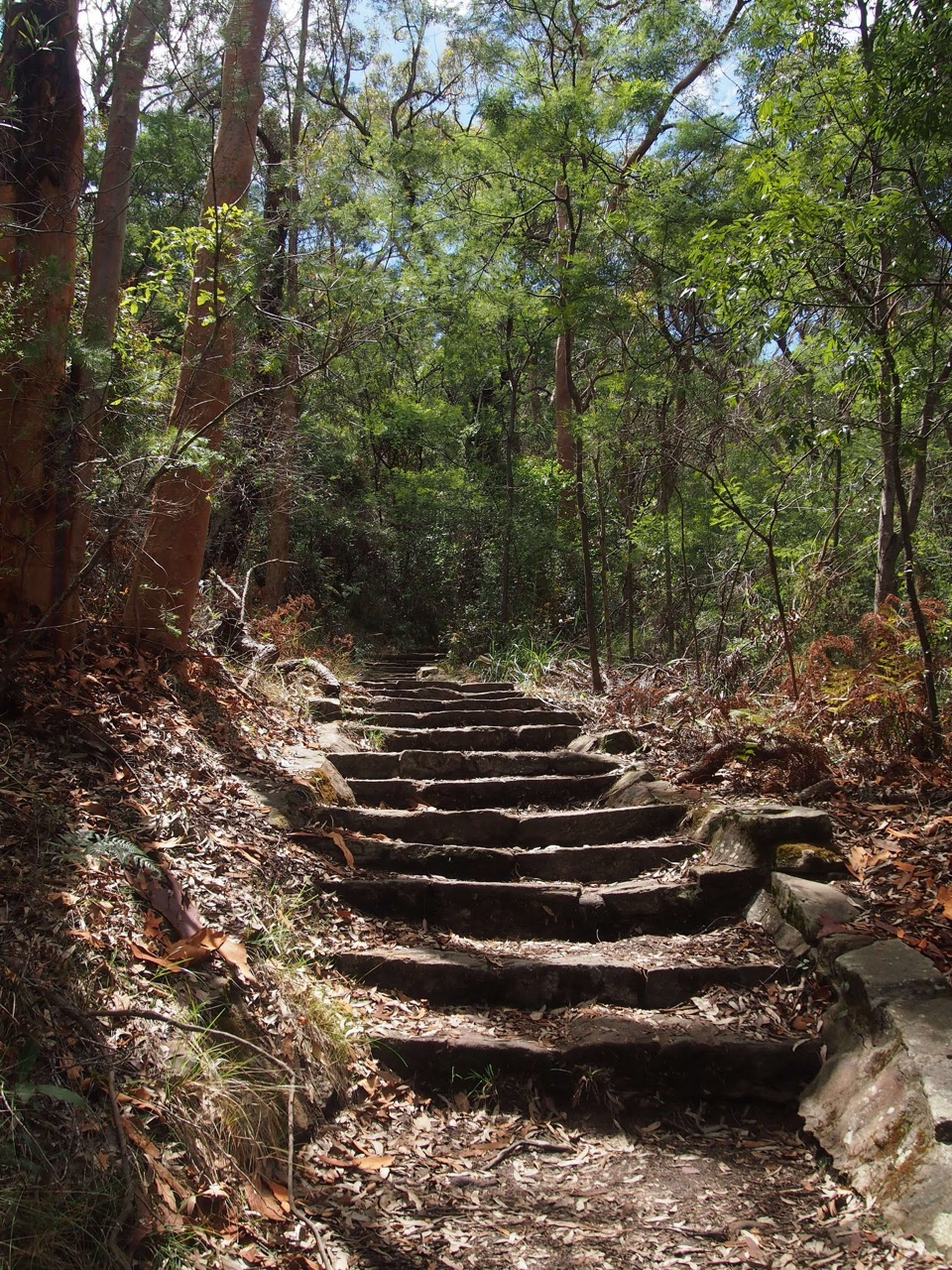 ModerateHoneymoon Track3.2 km · 1.5 hr · 1.5 km awayA steep staircase drops more than 600 steps to the Hacking River.
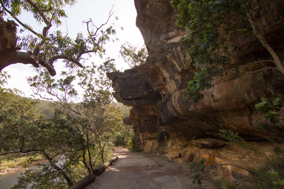 EasyLady Carrington Drive10 km · 3 hr · 2.1 km awayA gentle riverside carriage road, best walked one way.
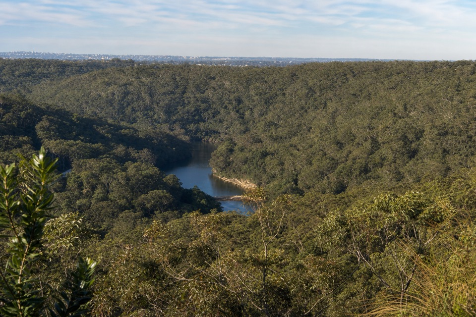 ModerateRobertson's Roundabout Walk2.3 km · 1.3 hr · 2.3 km awayA short, steep loop to a wooded Hacking River lookout.
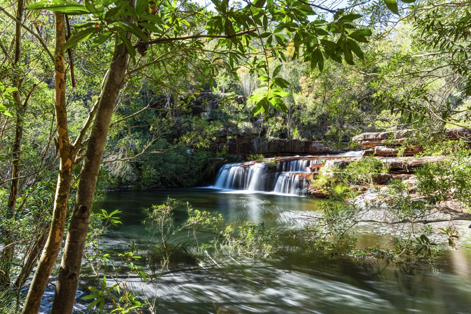 ChallengingLoftus to Winifred Falls11.7 km · 4 hr · 2.6 km awayFollow an old tramway to a waterfall, then exit along a ridge.
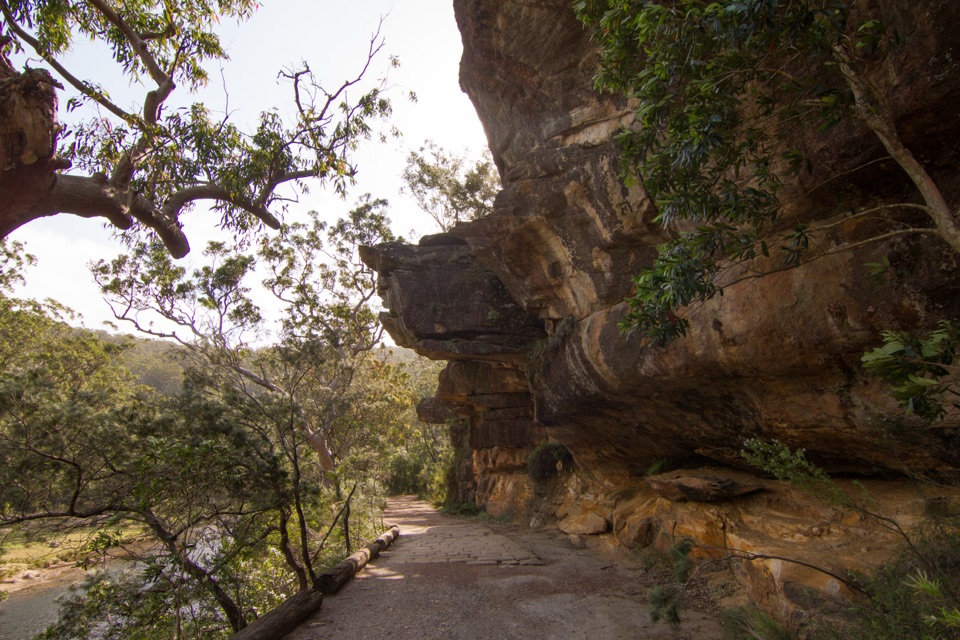 EasyJersey Spring Walk5.2 km · 1.8 hr · 2.6 km awayCobbles, creek culverts, and old horse troughs reward an easy walk.
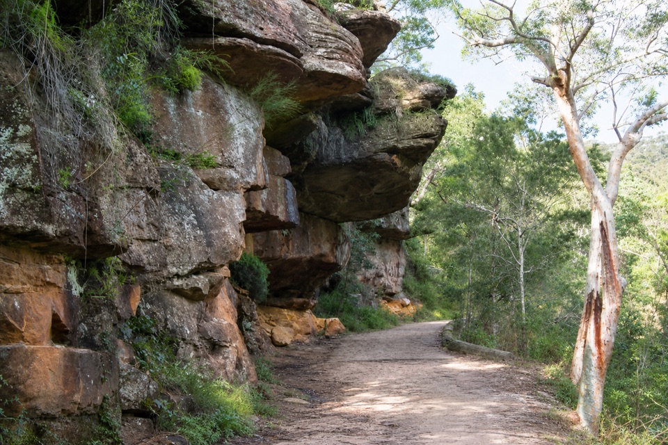 EasyGibraltar Rock Walk0.9 km · 45 min · 2.7 km awayAn easy old road leads to a sandstone overhang above the river
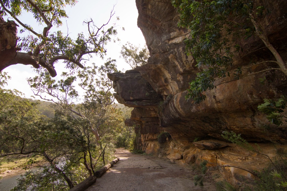 ModerateWillow Tree to Calala Hike10.5 km · 4 hr · 2.7 km awayAn old river road past sandstone, horse troughs and Calala’s beach.Sight · 1.1 km awayBungoona LookoutAn easy ridge stroll to a bend in the Hacking River.
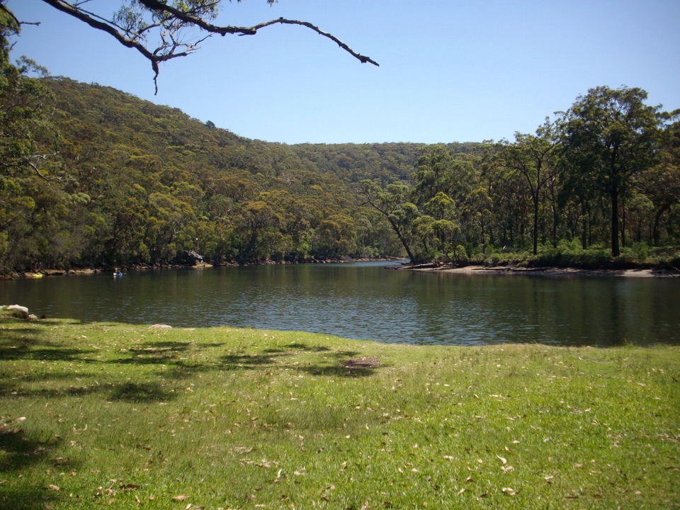 Picnic area · 1.6 km awayReids Flat Picnic AreaShady riverside picnics, free barbecues, and still water for a swim.
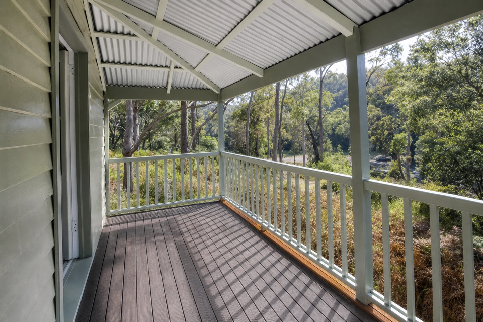 Lodging · 1.7 km awayReids Flat CottageA heritage riverside stay with paddling and cycling close by.
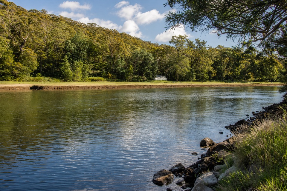 Picnic area · 1.7 km awayPool Flat Picnic AreaA picnic, swim or paddle on the Hacking River.
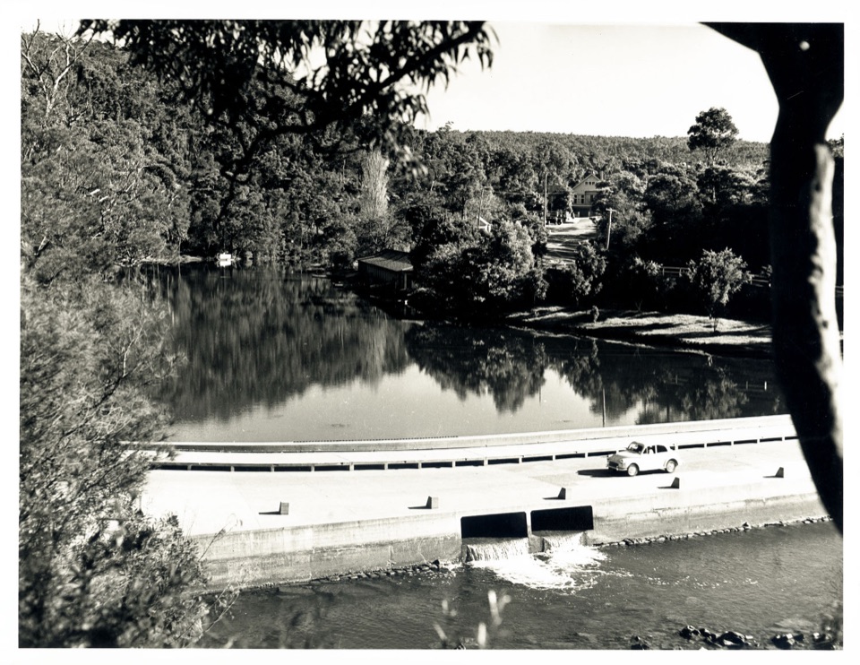 Sight · 2.3 km awayAudley BoatshedHistoric boat hire with a sandstone-lined creek to paddle.
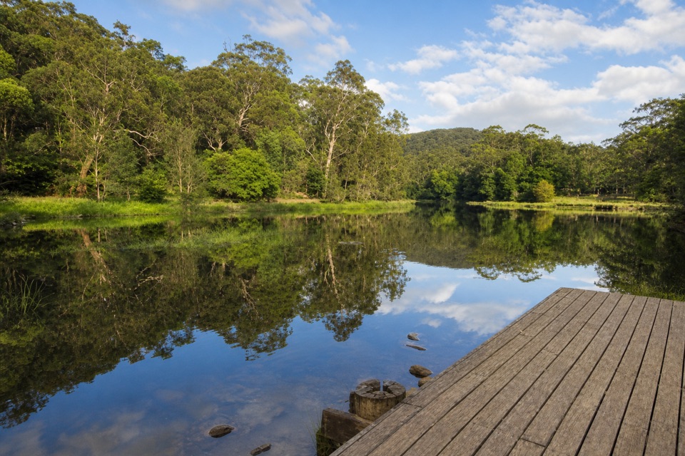 Picnic area · 2.3 km awayIronbark Flat Picnic AreaAn easy riverside lunch with free barbecues and a café nearby.
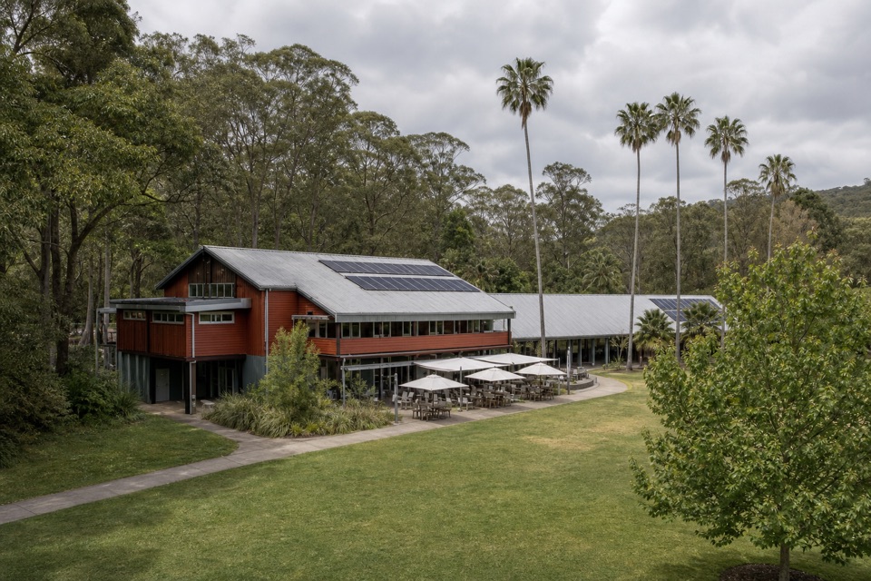 Visitor center · 2.3 km awayRoyal National Park Visitor CentreGet track advice before exploring Audley’s historic riverfront.
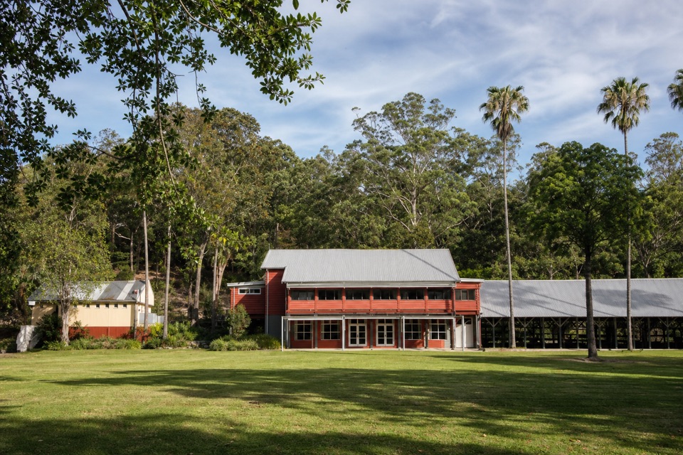 Restaurant · 2.3 km awayAudley Dance Hall CafeCoffee and a river-view veranda in a 1949 dance hall.
Parkwolf’s Royal ranking

The audio tour guide for the drive, plus offline maps, trails, and wildlife heatmaps for when the signal drops.





