Parking
Start at the Crescent Meadow / High Sierra Trailhead. Summer shuttle service is available; backpackers with a wilderness permit may access the trailhead 24 hours when it is closed to normal traffic. There is no water at the trailhead.
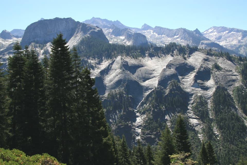
Sequoia National Park, CA
A long Sierra traverse opens to Kaweah canyon and Bearpaw Camp.
Overview
Bearpaw Meadow via the High Sierra Trail is a 22.8-mile out-and-back, 11.4 miles each way from Crescent Meadow to Bearpaw Meadow. It follows the opening leg of the longer High Sierra Trail and rewards a long approach with open views across the Kaweah canyon to the Great Western Divide. Plan it as a backpacking overnight, not a casual day hike; about 16 hours of walking spread across two long days is a sensible allowance. A wilderness permit is required for the High Sierra Trail.
 Parkwolf’s verdictA two-day trip worth the commitment
Map & elevation
Plan your hike

The highest, rockiest slopes around here are a summer buffet for grizzly bears.
Sequoia Tour Guide
Parkwolf is a GPS audio tour guide for Sequoia National Park. As you drive, it chimes in with what’s ahead: hidden gems, upcoming stops, history, geology, and wildlife, right through your car’s speakers.
See the Sequoia audio tourRecorded for this area
Crescent Meadow and Tharp’s Log“Crescent Meadow is coming up, an open wetland ringed by giant sequoias, with picnic tables near the trailhead. Stop here if you'd like a gentler outing with room to see the red trunks against the meadow grass.”
Plays near this trailhead in the Parkwolf Sequoia Tour Guide.
More stories near here in the app
“…The kids and my husband and I all agree that the narration really added to our experience driving through the parks. We learned so much about the history and the flora & fauna.”


Trail guide
The first half-mile stays cool beneath red and white fir, sugar pines and occasional giant sequoias. Then the trail steps onto a warm, south-facing slope at Eagle View. Look back toward Moro Rock, down into the Middle Fork Kaweah canyon and east to the glaciated Great Western Divide. For a photo, include the slope or a few trees in the foreground so the valley reads as deep rather than flat.
Past the Seven Mile Hill junction, the route skirts steep bluffs south of Alta Meadow and Alta Peak. A nearly level stretch crosses part of the Buckeye Fire area, where spring-fed streams still cross the trail late into the season. The broad traverse can feel exposed in the sun even when the forest start was cool.
After Nine Mile Creek, the trail drops into Buck Canyon, a rugged drainage known for floods, avalanches and rockslides. It crosses Buck Creek, then climbs about 500 feet in a little over a mile to Bearpaw Meadow. This is the turn-around point for this trail record; continuing east follows the longer High Sierra Trail and is outside the mapped hike here.
Start at the Crescent Meadow / High Sierra Trailhead. Summer shuttle service is available, and backpackers with a wilderness permit may reach the trailhead when the road is closed to normal traffic. There is no water at the trailhead. Creek crossings can be hazardous in early summer, so check conditions when you collect your permit. Pets are prohibited on park trails. Bearpaw has been described as a tent camp, but its current lodging and meal service were not verified; confirm arrangements before relying on them and have a complete backcountry plan.
Wildlife
 691 sightingsBlack BearMost seen around 6 PMSighting map
 17 sightingsMountain LionMost seen around 6 AMSighting map
 18 sightingsBobcatMost seen around 7 PMSighting map
 24 sightingsCoyoteMost seen around 7 PMSighting map
 15 sightingsGolden EagleMost seen around 11 AMSighting map
 20 sightingsSpotted OwlMost seen around 7 PMSighting map
Sighting maps show where each species has been reported across Sequoia. Wildlife moves, so no sighting is guaranteed.
Keep exploring
 ChallengingHigh Sierra Trail48.9 mi · 1.7 days · At the trailheadA 49-mile wilderness crossing from Giant Forest to the John Muir Trail.
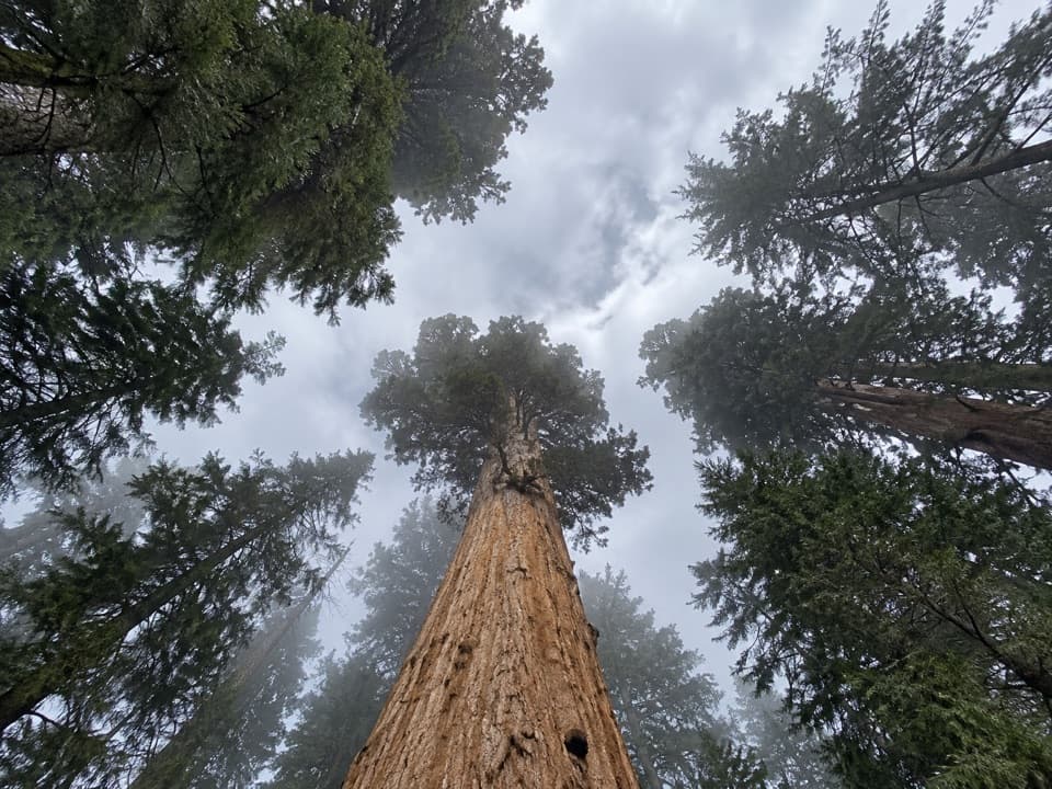 ModerateTrail of the Sequoias3.3 mi · 2.3 hr · At the trailheadQuiet sequoia traverse from Crescent Meadow to the Congress Trail.
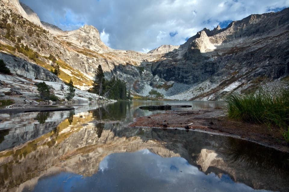 ChallengingHamilton Lakes Trail30.2 mi · 18 hr · At the trailheadA high granite lake, reached by an exposed Sierra traverse.
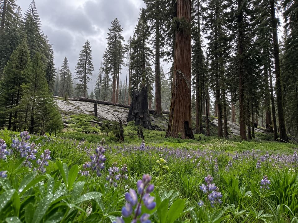 ModerateCircle Meadow Loop4.3 mi · 2.5 hr · At the trailheadA meadow circuit through Giant Forest's wildflowers and sequoias.
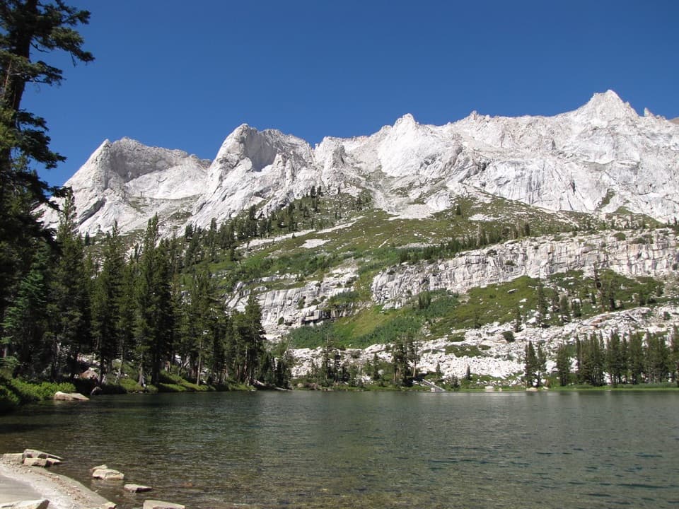 ChallengingTamarack Lake Trail31.8 mi · 16 hr · At the trailheadA 32-mile out-and-back to a lake at 9,215 feet.
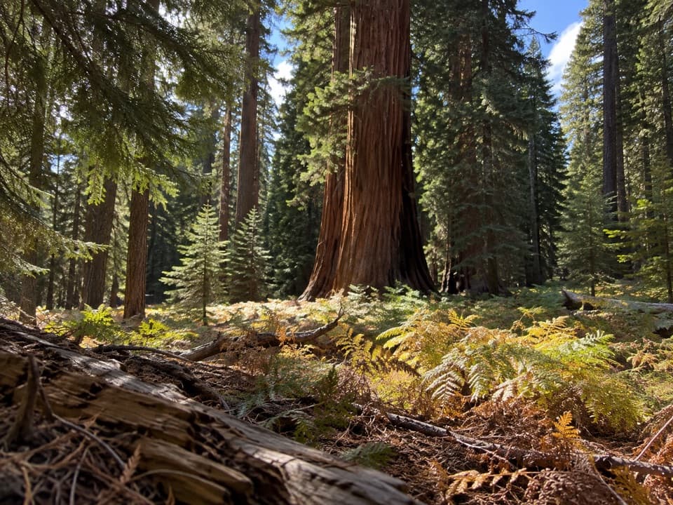 EasyCrescent Meadow Loop1.4 mi · 1 hr · At the trailheadA short loop where giant sequoias frame Crescent Meadow.
 EasyEagle View Trail1.5 mi · 1.5 hr · At the trailheadA short climb from Crescent Meadow to a sweeping Sierra view.
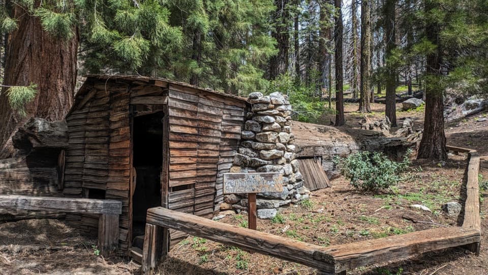 EasyLog Meadow Loop and Tharp’s Log1.8 mi · 1.5 hr · At the trailheadA cabin built inside a fallen sequoia is the unusual payoff.
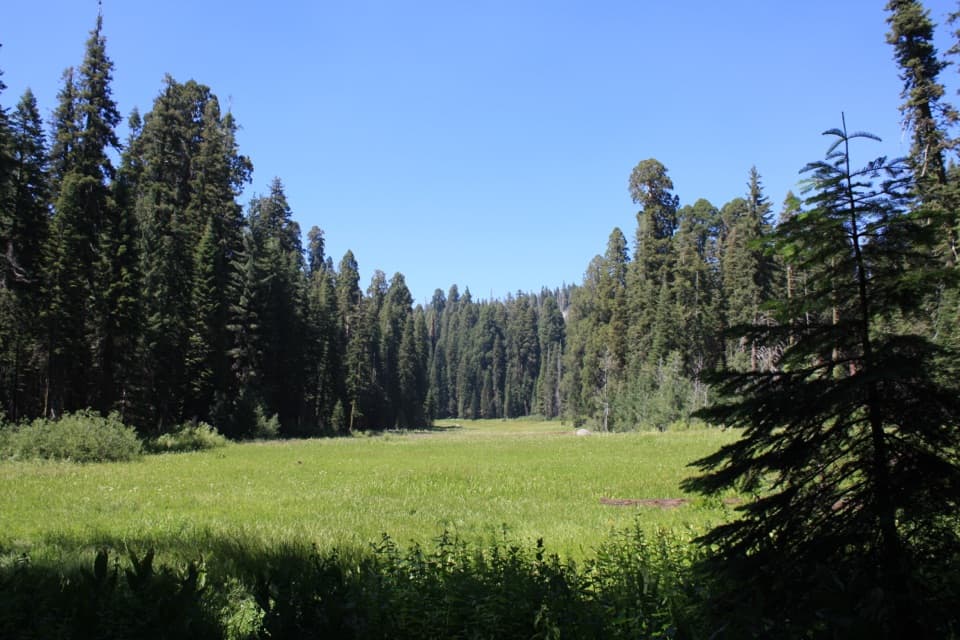 Sight · 0.1 mi awayCrescent MeadowAn open meadow framed by giant sequoias, with two memorable tree stops.
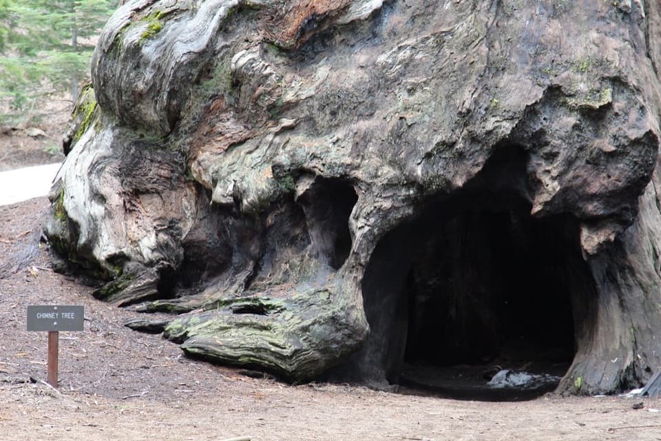 Sight · 0.4 mi awayChimney TreeStep inside the hollow left by a 1914 fire.
 Sight · 0.4 mi awaySquatters CabinA tiny log cabin anchors a larger Kaweah Colony story.Sight · 0.5 mi awayTharp's LogA 70-foot sequoia log became a summer cabin.
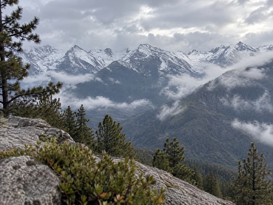 Sight · 0.6 mi awayEagle ViewA short climb to a long look across the high Sierra.
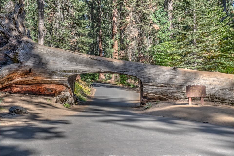 Sight · 0.7 mi awayTunnel LogDrive through a fallen giant sequoia on Crescent Meadow Road.
 Sight · 0.9 mi awayParker GroupEight sequoias, close enough to study their fire scars.
 Sight · 1 mi awayButtress TreeA fallen giant sequoia with an astonishingly broad root plate.
Parkwolf’s Sequoia ranking
The audio tour guide for the drive, plus offline maps, trails, and wildlife heatmaps for when the signal drops.




