Parking
Start at the Crescent Meadow parking area, at the High Sierra Trailhead. The route ends at Congress Trail near Chief Sequoyah, so plan a pickup or longer return route; this line does not return to the starting lot.
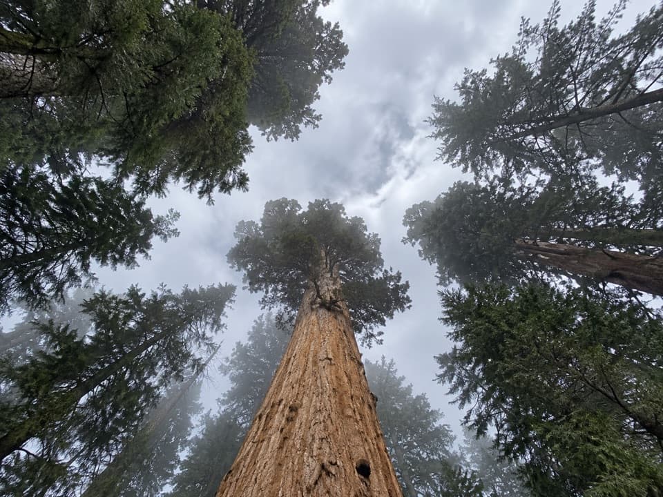
#9 of 99 trails in Sequoia
Sequoia National Park, CA
Quiet sequoia traverse from Crescent Meadow to the Congress Trail.
Overview
Map & elevation
Plan your hike

The highest, rockiest slopes around here are a summer buffet for grizzly bears.
Sequoia Tour Guide
Parkwolf is a GPS audio tour guide for Sequoia National Park. As you drive, it chimes in with what’s ahead: hidden gems, upcoming stops, history, geology, and wildlife, right through your car’s speakers.
See the Sequoia audio tourRecorded for this area
Crescent Meadow and Tharp’s Log“Crescent Meadow is coming up, an open wetland ringed by giant sequoias, with picnic tables near the trailhead. Stop here if you'd like a gentler outing with room to see the red trunks against the meadow grass.”
Plays near this trailhead in the Parkwolf Sequoia Tour Guide.
More stories near here in the app
“…The kids and my husband and I all agree that the narration really added to our experience driving through the parks. We learned so much about the history and the flora & fauna.”


Trail guide
Trail of the Sequoias is a 3.3-mile, one-way point-to-point walk from Crescent Meadow to the Congress Trail at the eastern edge of Giant Forest. The distance includes about half a mile on the High Sierra Trail to reach the named trail; the sequoia traverse itself is about 2.8 miles. You move from shaded forest and a creek ravine to a rocky, more open ridge, then descend among giant sequoias to Chief Sequoyah. The appeal is the contrast between a familiar meadow start, a quieter middle stretch and a finish beside a famous tree. This is not a loop. Arrange a pickup or plan a longer return route before leaving Crescent Meadow; the mapped line ends at Congress Trail, not where you parked. Give the one-way walk roughly two to two and a half hours with brief stops.
Begin at the Crescent Meadow parking area and follow the High Sierra Trail as it skirts the meadow edge. At the early split toward Crescent Meadow Loop, stay on the High Sierra Trail. At the four-way junction with Log Meadow and the named trail, take the middle path for Trail of the Sequoias. About four-tenths of a mile later, a short connector leads left toward Log Meadow; stay right to continue on the named route. Those junctions are easy to misread, especially when ferns obscure the tread. Longer circuits that add meadow connectors or a return along Congress Trail are different hikes, so do not use their mileage for this one-way line.
The route alternates between quiet, shaded forest and open patches. A small stream runs through a cool ravine, then at Crescent Creek the path passes through a tunnel in a fallen sequoia trunk, a memorable halfway marker. The main climb comes after the tunnel, rising around an unnamed hill to an exposed, rocky slope and ridge. It is the hardest part of the walk; the rest eases into a mostly downhill approach toward Congress Trail. Chaparral, manzanita, ceanothus, chinquapin and granite slabs add a drier, brighter feel on the ridge between darker forest sections. The open climb loses much of the ravine’s shade, so it can feel like a change of hike even though the route is still within the same Giant Forest outing.
Giant sequoias become more frequent as you approach the north end. The route reaches Chief Sequoyah and joins Congress Trail there. The massive tree makes a natural pause before choosing what comes next, but the extra walk through the Congress grove is outside this route’s stored distance. Expect a busier finish once you join that trail. If you want to turn the outing into a loop, pick a complete return route in advance rather than connecting whichever visible path looks convenient. The Congress Trail can carry the outing toward the General Sherman area, but that continuation adds distance and does not return directly to Crescent Meadow.
Wildlife
 691 sightingsBlack BearMost seen around 6 PMSighting map
 17 sightingsMountain LionMost seen around 6 AMSighting map
 18 sightingsBobcatMost seen around 7 PMSighting map
 24 sightingsCoyoteMost seen around 7 PMSighting map
 15 sightingsGolden EagleMost seen around 11 AMSighting map
 20 sightingsSpotted OwlMost seen around 7 PMSighting map
Sighting maps show where each species has been reported across Sequoia. Wildlife moves, so no sighting is guaranteed.
Keep exploring
 ChallengingHigh Sierra Trail48.9 mi · 1.7 days · At the trailheadA 49-mile wilderness crossing from Giant Forest to the John Muir Trail.
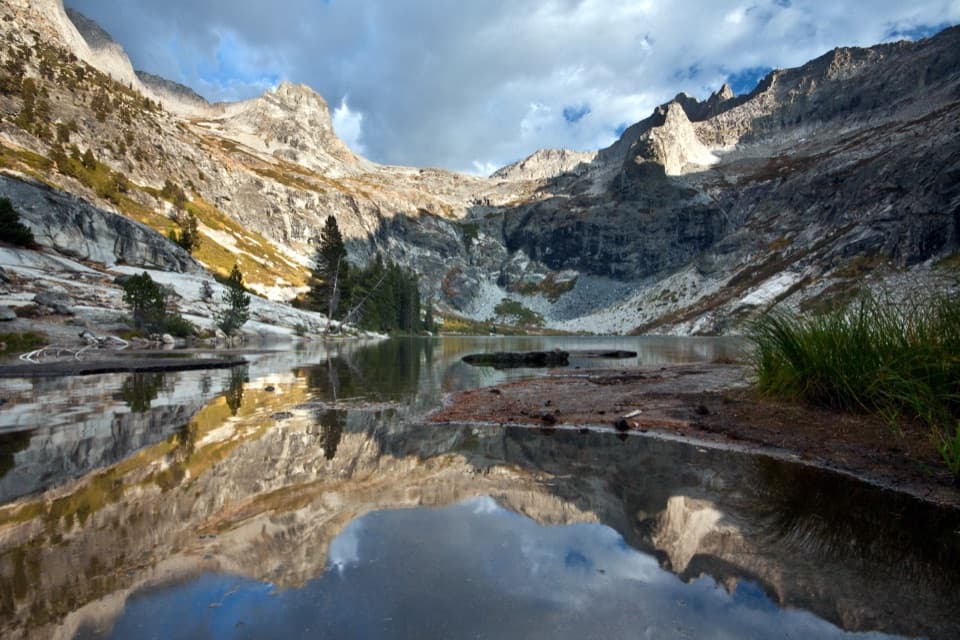 ChallengingHamilton Lakes Trail30.2 mi · 18 hr · At the trailheadA high granite lake, reached by an exposed Sierra traverse.
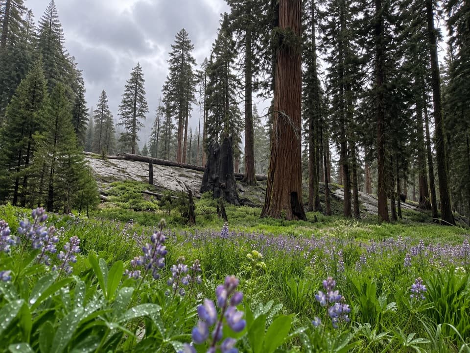 ModerateCircle Meadow Loop4.3 mi · 2.5 hr · At the trailheadA meadow circuit through Giant Forest's wildflowers and sequoias.
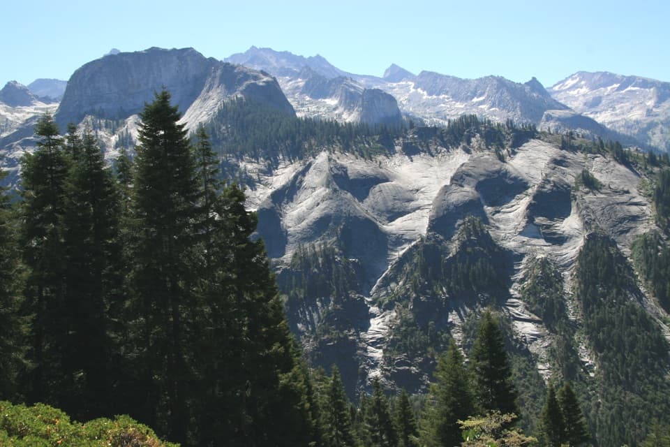 ChallengingBearpaw Meadow via High Sierra Trail22.8 mi · 16 hr · At the trailheadA long Sierra traverse opens to Kaweah canyon and Bearpaw Camp.
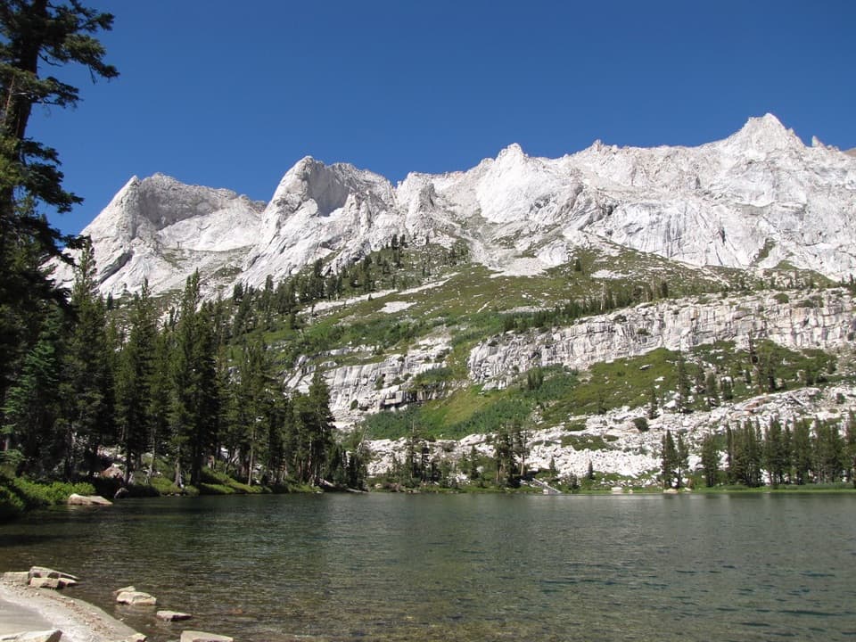 ChallengingTamarack Lake Trail31.8 mi · 16 hr · At the trailheadA 32-mile out-and-back to a lake at 9,215 feet.
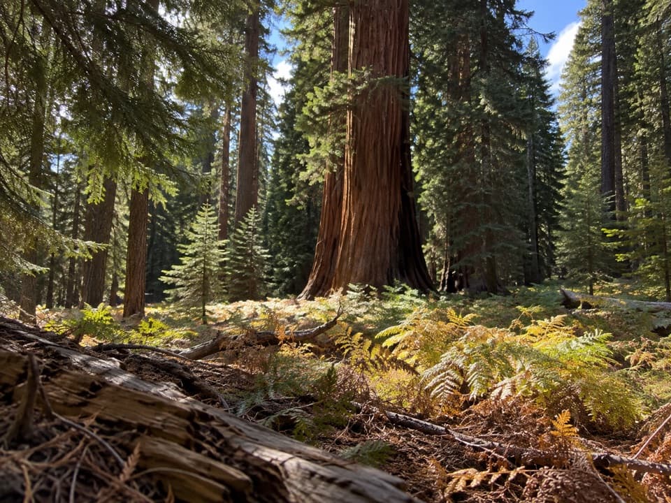 EasyCrescent Meadow Loop1.4 mi · 1 hr · At the trailheadA short loop where giant sequoias frame Crescent Meadow.
 EasyEagle View Trail1.5 mi · 1.5 hr · At the trailheadA short climb from Crescent Meadow to a sweeping Sierra view.
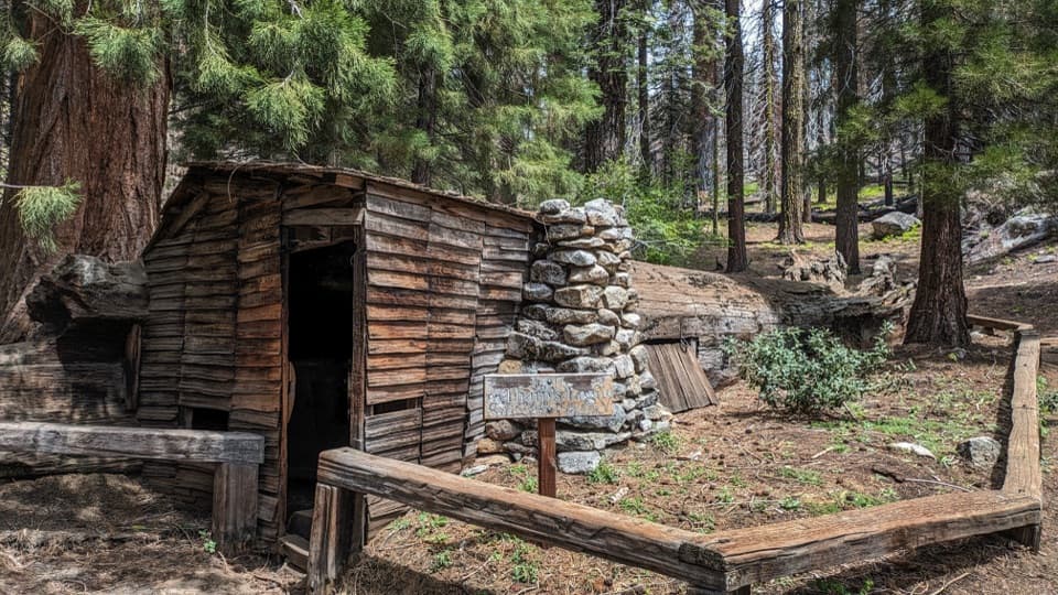 EasyLog Meadow Loop and Tharp’s Log1.8 mi · 1.5 hr · At the trailheadA cabin built inside a fallen sequoia is the unusual payoff.
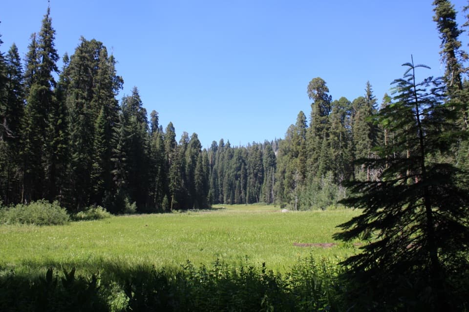 Sight · 0.1 mi awayCrescent MeadowAn open meadow framed by giant sequoias, with two memorable tree stops.
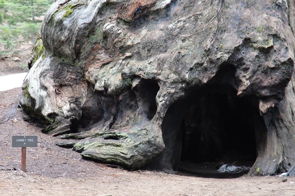 Sight · 0.4 mi awayChimney TreeStep inside the hollow left by a 1914 fire.
 Sight · 0.4 mi awaySquatters CabinA tiny log cabin anchors a larger Kaweah Colony story.Sight · 0.5 mi awayTharp's LogA 70-foot sequoia log became a summer cabin.
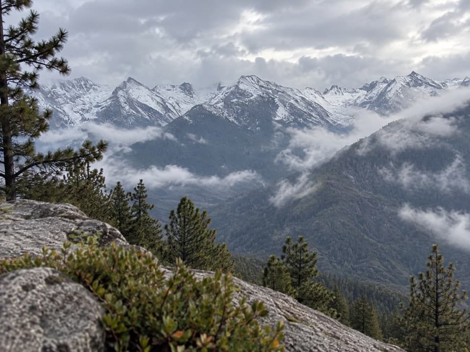 Sight · 0.6 mi awayEagle ViewA short climb to a long look across the high Sierra.
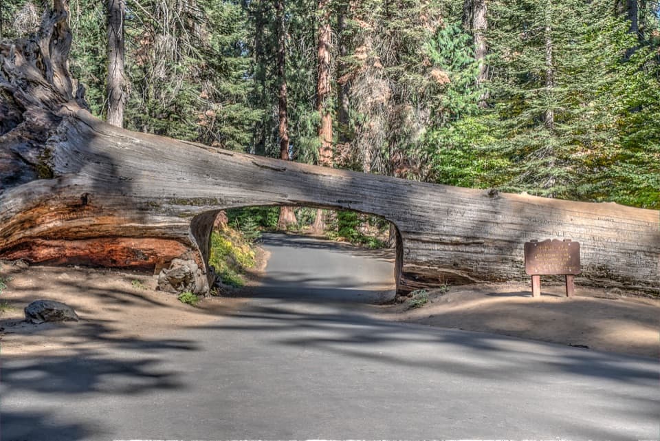 Sight · 0.7 mi awayTunnel LogDrive through a fallen giant sequoia on Crescent Meadow Road.
 Sight · 0.9 mi awayParker GroupEight sequoias, close enough to study their fire scars.
 Sight · 1 mi awayButtress TreeA fallen giant sequoia with an astonishingly broad root plate.
Parkwolf’s Sequoia ranking

The audio tour guide for the drive, plus offline maps, trails, and wildlife heatmaps for when the signal drops.




