Parking
Park in the White Chief Trailhead parking area at the end of Mineral King Road; the Eagle-Mosquito Trailhead is the access for the lake trails. A restroom and trash receptacles are at the trailhead.

Sequoia National Park, CA
A steep, rocky climb to a high lake above Mineral King.
Overview
Map & elevation
Plan your hike

The highest, rockiest slopes around here are a summer buffet for grizzly bears.
Sequoia Tour Guide
Parkwolf is a GPS audio tour guide for Sequoia National Park. As you drive, it chimes in with what’s ahead: hidden gems, upcoming stops, history, geology, and wildlife, right through your car’s speakers.
See the Sequoia audio tourRecorded for this trailhead
Mineral King Trailheads and Honeymoon Cabin“Up ahead are the trailheads at the end of Mineral King Road, with Honeymoon Cabin beside them. For a short history stop, take a look at this last surviving Crowley Resort rental cabin.”
Plays as you drive up to this trailhead in the Parkwolf Sequoia Tour Guide.
More stories near here in the app
“…The kids and my husband and I all agree that the narration really added to our experience driving through the parks. We learned so much about the history and the flora & fauna.”


Trail guide
Eagle Lake Trail is a 6.8-mile out-and-back from the Eagle-Mosquito Trailhead to a glacial lake in a high Sierra basin. It climbs from Mineral King through scrub, meadow and fir forest, then across a rough boulder slope to the water. Plan about four to five hours. This is a substantial hike at this altitude, but the scenery keeps changing as you climb; go if you want a real high-country lake rather than a short stroll to water.
Start from the White Chief Trailhead parking area at the end of Mineral King Road; the Eagle-Mosquito Trailhead is the access for both lake routes. The trail climbs steadily along the west side of the valley. A small wooden bridge crosses Spring Creek around 0.3 mile, and the route later crosses Eagle Creek. Past the White Chief junction, follow the right branch toward Eagle and Mosquito Lakes. The tread passes an open meadow and Eagle Creek's sinkhole before reaching Eagle Basin. The first two miles are shared with the Mosquito Lakes hike: at the basin, take the left-hand trail for Eagle Lake; the right branch heads toward Mosquito Lake #1.
Above Eagle Basin, steep switchbacks cross a rocky hillside and boulder field. Trees thin, opening views toward Tulare Peak, Sawtooth Peak and the Great Western Divide. The grade eases among scattered pines and boulders before a short wooded stretch reaches the shore. The final approach is rough talus with occasional small rock hops; this is where the altitude and sustained climbing are most noticeable. Deer, yellow-bellied marmots, pikas and grouse have all been reported along the route, though sightings are never a sure thing.
Eagle Lake is a glacially carved tarn in a hanging basin. The glacier that shaped this side valley was smaller than the one that cut the main canyon, leaving the lake high above Mineral King. A dam sits at the lake's outlet and gives a level spot to look back toward Empire Mountain, Timber Gap, Tablelands and Alta Peak. For a photo, frame the water with shoreline rocks or the dam in front and the cirque beyond; that shows the scale better than a tight shot of the water.
The trailhead has auto parking, a restroom and trash receptacles. Pets aren't allowed on park trails. Bring drinking water or a treatment method; the purity of the lakes and streams can't be guaranteed. Early-summer mosquitoes can be a particular nuisance.
Wildlife
 691 sightingsBlack BearMost seen around 6 PMSighting map
 17 sightingsMountain LionMost seen around 6 AMSighting map
 18 sightingsBobcatMost seen around 7 PMSighting map
 24 sightingsCoyoteMost seen around 7 PMSighting map
 15 sightingsGolden EagleMost seen around 11 AMSighting map
 20 sightingsSpotted OwlMost seen around 7 PMSighting map
Sighting maps show where each species has been reported across Sequoia. Wildlife moves, so no sighting is guaranteed.
Keep exploring
 ChallengingMosquito Lake Trail7.2 mi · 4.5 hr · At the trailheadA mountain lake above Mineral King, reached by a steady climb.
 ChallengingWhite Chief Trail to White Chief Bowl7.4 mi · 5 hr · At the trailheadColorful marble, old mines and a 10,000-foot Sierra bowl.
 ChallengingFarewell Gap Trail12.4 mi · 7.5 hr · 0.1 mi awayA high alpine saddle with mining history and a long climb
 ChallengingFranklin Lakes Trail10.8 mi · 7.5 hr · 0.1 mi awayTwo alpine lakes reward a steady climb into high country.
 ChallengingFranklin Pass Trail16.2 mi · 11 hr · 0.1 mi awayLong switchbacks climb from Mineral King to an alpine pass.
 ChallengingCrystal Lake Trail9.8 mi · 6.5 hr · 0.3 mi awayA hard climb to a small 1900s dam beneath high Sierra walls.
 ChallengingBig Five and Little Five Lakes Loop31.2 mi · 1.3 days · 0.3 mi awayTwo lake basins, two high passes, and a real backpacking test
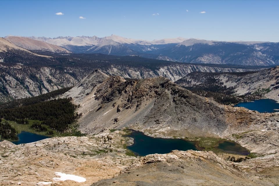 ChallengingBlack Rock Pass Trail23 mi · 17.5 hr · 0.3 mi awayA 23-mile climb to a pass between the Five Lakes basins
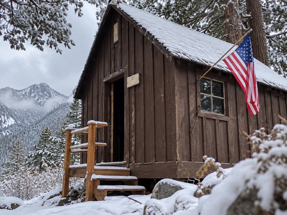 Sight · At the trailheadHoneymoon CabinA cabin shifted eight to ten feet in a slow snow slide.
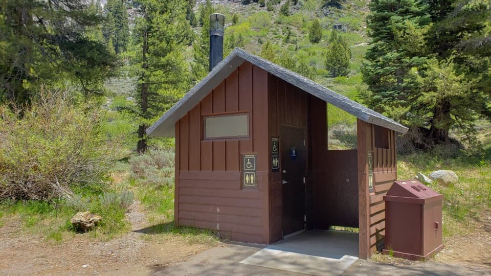 Restroom · 0.1 mi awayEagle-Mosquito Trailhead RestroomA practical restroom before the strenuous Eagle and Mosquito Lakes hikes.
 Ranger station · 0.9 mi awayMineral King Ranger StationA useful stop for maps, permits, trail advice, and marmot tarps.
 Campground · 1.1 mi awayCold Springs CampgroundA quiet, tent-only base for Mineral King hikes.
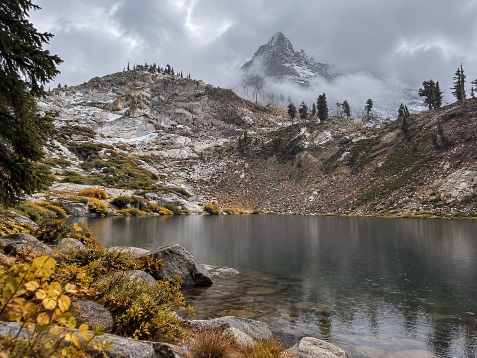 Sight · 1.7 mi awayMonarch LakesTwo alpine lakes below Sawtooth Peak after a hard climb.
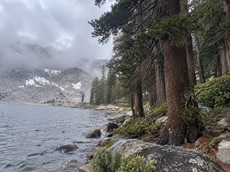 Sight · 2.2 mi awayEagle LakeBlue water at the end of a steep Mineral King hike.
 Sight · 2.2 mi awayMosquito LakesA small alpine lake reached by a long Mineral King climb
 Sight · 3.1 mi awayFranklin LakesA long climb to twin lakes beneath the Great Western Divide.
Parkwolf’s Sequoia ranking

The audio tour guide for the drive, plus offline maps, trails, and wildlife heatmaps for when the signal drops.





