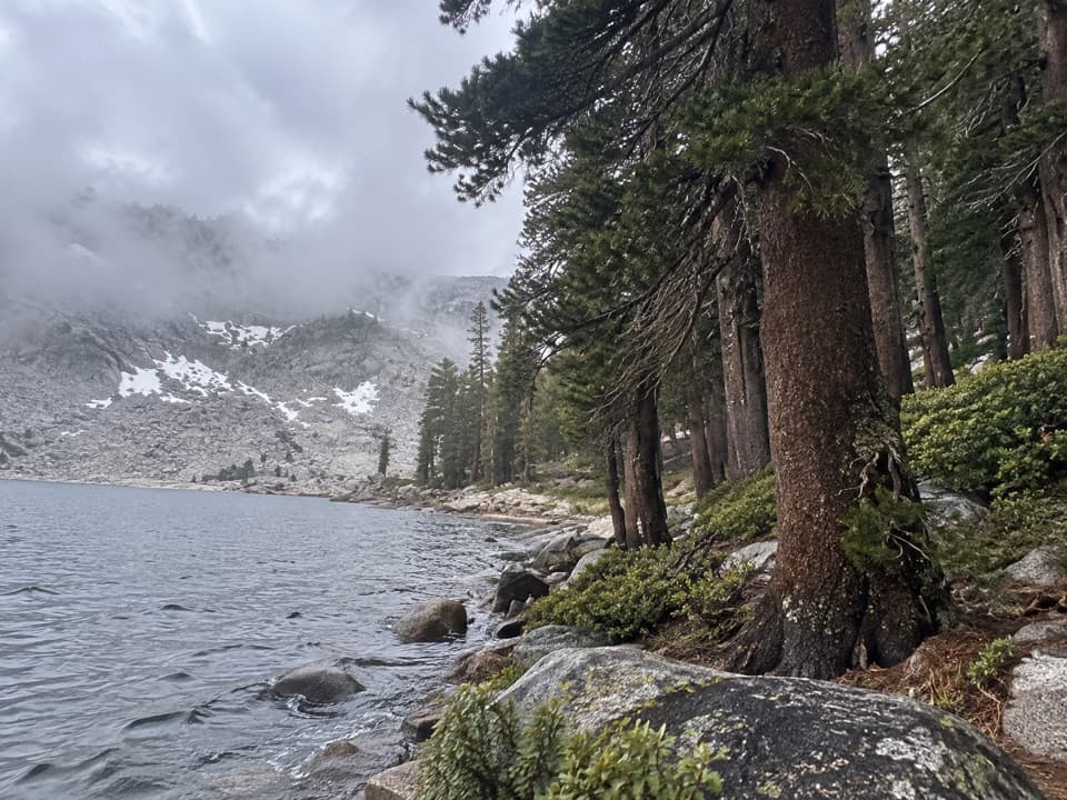
White Chief Trail to White Chief Bowl in Sequoia National Park

Sequoia National Park, CA

White Chief Trail to White Chief Bowl

Colorful marble, old mines and a 10,000-foot Sierra bowl.

Photo: Wikimedia Commons
Length
7.4mi
Time
5hr
Elev. change
2,188ft
Difficulty
Challenging
  • No dogs
  • High point 10,020 ft
  • #36 of 99 in Sequoia

Hear the audio tour

Mineral King Trailheads and Honeymoon Cabin

Overview

About White Chief Trail to White Chief Bowl

Why go

  • A dramatic change from scrubby slopes to colorful alpine meadows.
  • Crabtree Cabin ruins and the 1873 mining story are on the route.

Heads up

  • A long, steep climb at high elevation.
  • The final approach fades into a cairned, harder-to-follow tread.

Map & elevation

The route

Loading the Sequoia map
Full map
Elevation7,831–10,020 ft
TrailheadWhite Chief Trailhead parking area36.44839, -118.59532
Keep this map with you offline in the Parkwolf app

Plan your hike

Before you go

Parking

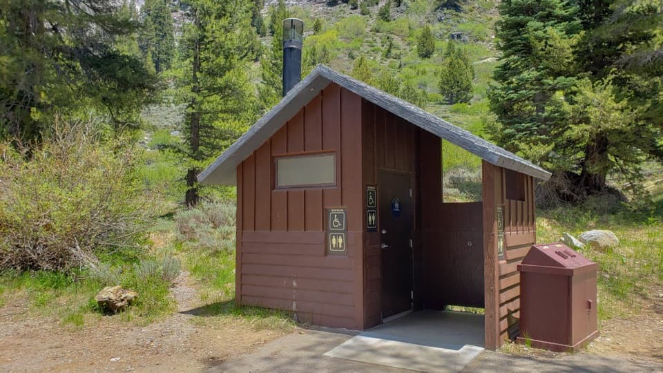
Use the White Chief Trailhead parking area at the end of Mineral King Road; the White Chief route leaves the south end of the Eagle–Mosquito lot. The narrow mountain road is partly unpaved near the top and is usually open only from late spring through late October.

Best time to go

Mineral King Road is generally open from the Wednesday before Memorial Day to the last Wednesday in October, weather and road work permitting. Snow can linger at these elevations, and early summer mosquitoes can be a nuisance. Carry your own water; the safety of stream water is not guaranteed. Pets are not allowed on park trails.

Safety

The route climbs from about 7,800 to 10,000 feet and includes a sustained steep pitch. Eagle Creek may require a rock hop; White Chief Creek also crosses the route. Carry water because stream water is not guaranteed safe. The upper tread is faint and cairned near dangerous mine openings, caves and sinkholes; do not enter them. Pets are prohibited on park trails.

8 active Sequoia alerts

  • ClosureMineral King Road construction closures and delaysMentions Mineral King Road, referenced in this guideConstruction work is causing scheduled closures and delays on Mineral King Road through October 28, 2026; visitors must pass through the work zone to reach Mineral King.Official details
  • CautionStage 1 fire restrictionsStage 1 fire restrictions are in effect due to high fire danger and catastrophic-wildfire risk; the restrictions reduce the possibility of accidental human-caused fires that could threaten visitors…Official details
See all 8 alerts
A park ranger sits on a dash-mounted phone, talking, as Parkwolf’s Tour Guide plays “Army Cutworm Moths: A Grizzly Bear Buffet” on Grand Loop Road below Dunraven Pass in Yellowstone
Parkwolf Tour GuideThe highest, rockiest slopes around here are a summer buffet for grizzly bears.

Sequoia Tour Guide

Your drive to White Chief Trail to White Chief Bowl, narrated.

Parkwolf is a GPS audio tour guide for Sequoia National Park. As you drive, it chimes in with what’s ahead: hidden gems, upcoming stops, history, geology, and wildlife, right through your car’s speakers.

See the Sequoia audio tour

Recorded for this trailhead

Mineral King Trailheads and Honeymoon Cabin
0:00 / 0:31
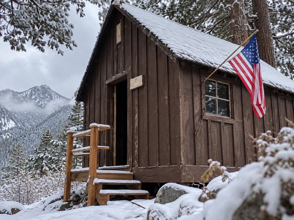
“Up ahead are the trailheads at the end of Mineral King Road, with Honeymoon Cabin beside them. For a short history stop, take a look at this last surviving Crowley Resort rental cabin.”

Plays as you drive up to this trailhead in the Parkwolf Sequoia Tour Guide.

More stories near here in the app

  • Sawtooth Trailhead and Monarch Lakes
  • Mineral King Ranger Station
  • Cold Springs Campground and Nature Trail
  • The Tree in a Pencil
  • 71 audio storiesacross Sequoia’s roads, triggered by GPS as you drive
  • Wildlife heatmapsfor Black Bear, Mountain Lion, Bobcat, and 13 more
  • Works offlinemaps, 99 trails, 68 places, and audio download before you lose signal
  • CarPlay readysimple controls built for the drive
★★★★★
“…The kids and my husband and I all agree that the narration really added to our experience driving through the parks. We learned so much about the history and the flora & fauna.”
JessestblondeApp Store review
Download Parkwolf on the App StoreGet Parkwolf on Google Play

4.7 from 8,600+ ratings

Trail guide

Hiking White Chief Trail to White Chief Bowl

What you’re signing up forWhite Chief Trail climbs from the Eagle–Mosquito parking area up Mineral King’s west valley…

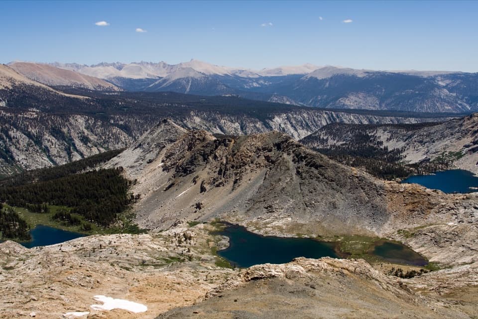
White Chief Trail climbs from the Eagle–Mosquito parking area up Mineral King’s west valley wall to White Chief Bowl, a glacial basin near 10,000 feet. The out-and-back moves from brush and scattered conifers into a steep climb, then across meadow and pale marble cliffs. The mapped line is 7.4 miles round trip (3.7 each way), with about 2,200 feet of climbing; allow roughly five hours. It suits hikers ready for high altitude and a long climb, not anyone looking for a quick lake stroll. Published one-way figures range from 2.9 to 4.6 miles; this listing follows the 3.7-mile mapped line and the high-basin endpoint elevation, so compare route details along with mileage.

The climb from the parking areaStart at the south end of the Eagle–Mosquito lot and head south through scrub, grass and…

Start at the south end of the Eagle–Mosquito lot and head south through scrub, grass and scattered firs and junipers. A small bridge crosses Spring Creek at about 0.3 mile; Eagle Creek crosses the trail around 0.9 mile and may take a rock hop. At roughly 1.2 miles, stay on the left or straight branch signed for White Chief Canyon. The right branch leads toward Eagle and Mosquito Lakes. Beyond the junction, the grade turns sharply uphill through pockets of trees. This is the hike’s hardest sustained climb, and the trail is already above 7,800 feet.

A meadow with a mining storyAround 1.7 miles, the climb eases as the route reaches White Chief basin.

Around 1.7 miles, the climb eases as the route reaches White Chief basin. Narrow meadows sit below cliffs striped white, orange, red, brown and gray. Look west of the path near the lower meadow, just before White Chief Creek, for the remains of Crabtree Cabin. James Crabtree claimed the White Chief mine in 1873; the ruined cabin may be the oldest surviving structure in Mineral King. Farther up, pale mine tailings stand out against the marble face.

The upper canyon and the BowlThe line continues beyond the mine through a high, rockier section where the tread can fade…

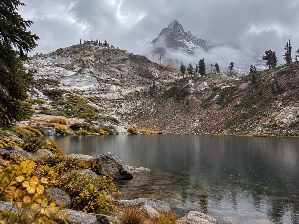
The line continues beyond the mine through a high, rockier section where the tread can fade into cairns and occasionally be hard to pick out. It crosses White Chief Creek, climbs over marble and darker metamorphic outcrops, then reaches the upper meadow and White Chief Bowl beneath Vandever Mountain. The bowl is a glacial cirque with meadow, stream and small pools; foxtail pines edge its upper basin. Stay well away from mine openings, caverns and deep sinkholes. They are dangerous, and the openings are not places to explore.

Why the rocks change colorWhite Chief Canyon is one of Mineral King’s hanging canyons.

White Chief Canyon is one of Mineral King’s hanging canyons. Pale marble lies beside reddish and gray metamorphic rock, giving the route a different look from the granite-and-lake scenery nearby. Those rainbow-colored rocks drew silver seekers to the area in the 1870s. Water in Spring Creek is thought to travel underground along fractures in the marble, and White Chief Creek also disappears into porous rock in the basin.

A good view to frameIn the lower meadow, keep the weathered logs and open grass in the foreground with the pale…

In the lower meadow, keep the weathered logs and open grass in the foreground with the pale marble and red-gray cliffs behind. It shows the canyon’s scale and color without turning the mine openings into an invitation to approach them.

Wildlife

Wildlife in Sequoia

All Sequoia wildlife maps

Sighting maps show where each species has been reported across Sequoia. Wildlife moves, so no sighting is guaranteed.

Keep exploring

Near White Chief Trail to White Chief Bowl

See it all on the map

Trails that start nearby

Places near the trailhead

Parkwolf’s Sequoia ranking

Top-rated trails in Sequoia

All 99 trails
  1. 1Congress TrailEasy · 2.7 mi
  2. 2General Sherman Tree TrailModerate · 1 mi
  3. 3Moro Rock TrailModerate · 0.5 mi
  4. 4High Sierra TrailChallenging · 48.9 mi
  5. 5Mount Whitney TrailChallenging · 22 mi
  6. 6Lakes Trail to Pear LakeChallenging · 12.8 mi

Take Parkwolf to Sequoia.

The audio tour guide for the drive, plus offline maps, trails, and wildlife heatmaps for when the signal drops.

4.7 from 8,600+ ratings

Download Parkwolf on the App StoreGet Parkwolf on Google Play