Parking
Start at Crescent Meadow parking lot. Crescent Meadow Road is seasonally closed by snow and, during summer shuttle service, to private cars on weekends and holidays; check the current road and shuttle schedule before setting out.
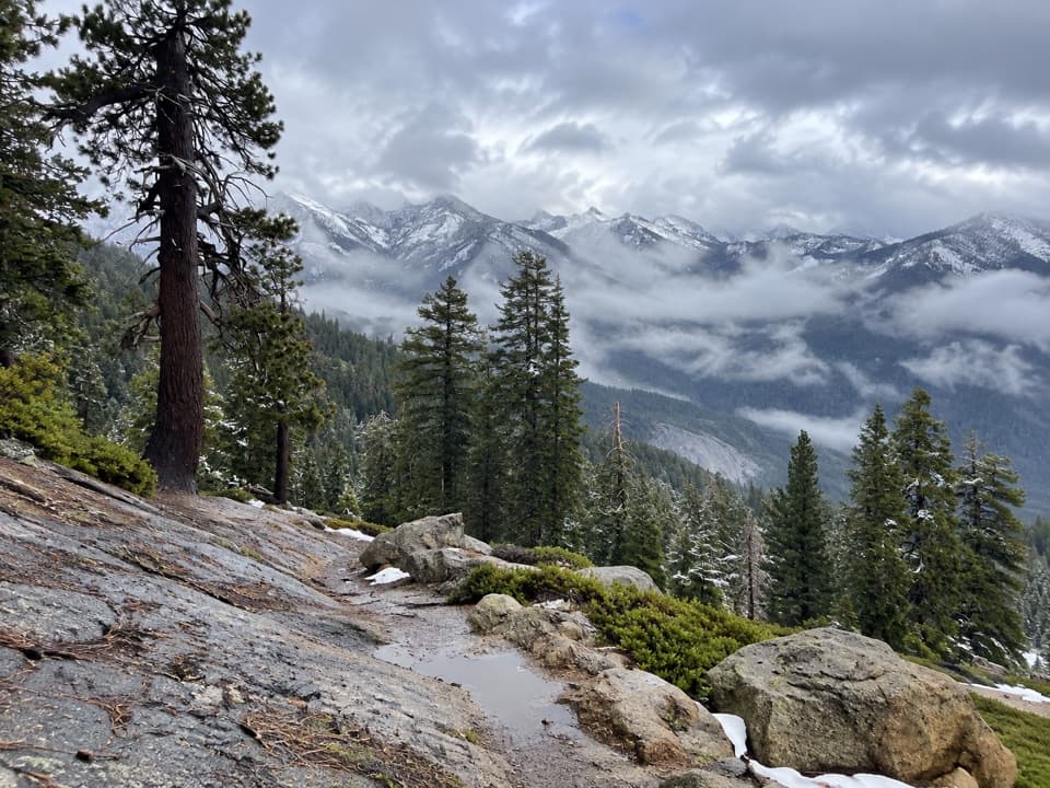
Sequoia National Park, CA
A 14.9-mile loop from Sierra Crest views into the Giant Forest.
Overview
Map & elevation
Plan your hike

The highest, rockiest slopes around here are a summer buffet for grizzly bears.
Sequoia Tour Guide
Parkwolf is a GPS audio tour guide for Sequoia National Park. As you drive, it chimes in with what’s ahead: hidden gems, upcoming stops, history, geology, and wildlife, right through your car’s speakers.
See the Sequoia audio tourRecorded for this area
Crescent Meadow and Tharp’s Log“Crescent Meadow is coming up, an open wetland ringed by giant sequoias, with picnic tables near the trailhead. Stop here if you'd like a gentler outing with room to see the red trunks against the meadow grass.”
Plays near this trailhead in the Parkwolf Sequoia Tour Guide.
More stories near here in the app
“…The kids and my husband and I all agree that the narration really added to our experience driving through the parks. We learned so much about the history and the flora & fauna.”


Trail guide
Sevenmile Loop is a 14.9-mile circuit from Crescent Meadow with about 2,820 feet of climbing. It follows the High Sierra Trail east for its first six miles, leaves it after the Mehrten Creek section, climbs into open chaparral, then returns west along the Alta corridor and through the Giant Forest. This is the longer high-country circuit, not the shorter Wolverton Cutoff loop. I’d choose it if you want a hard, varied day and are happy earning the sequoias near the end; if giant trees are your main goal, there’s a lot of hiking before you reach them. Set aside about ten hours, including stops.
Begin at the Crescent Meadow parking lot and follow the signed High Sierra Trail. The path is paved at first, then becomes dirt and climbs gently. A right turn at a saddle brings you onto an open, rocky hillside. Crescent Meadow Road has seasonal access limits: when summer shuttle service is running, private cars are barred on weekends and holidays and a free park shuttle serves the area from Giant Forest Museum. Dates change from year to year, and snow can close the road in winter, so check current access before planning a full day from this lot. There’s no drinking water at Crescent Meadow or along the road. Pets aren’t allowed on park trails, including paved ones.
The first stretch is mostly easy walking through pine and fir forest, with a short switchback climb. Eagle View is the first big payoff: the trees open onto a warm slope, with Moro Rock behind you, the Middle Fork canyon below, and the Great Western Divide ahead. After the Wolverton Cutoff junction, the trail starts a steady, gradual climb past small creeks. The memorable crossing is Mehrten Creek, where water runs down a broad, steep rock face. The route crosses the exposed rock and two branches of the creek. That’s a fine place to slow down, but early-summer snowmelt can make creek crossings hazardous.
After Mehrten Creek, take the left-hand trail marked “Wolverton 6 miles.” It climbs more steadily than the High Sierra Trail, but the tread is maintained and the grade is not especially steep. Pines thin to meadows and then open chaparral, bringing wide views across the high country. Turn left onto the Alta Trail and follow the open hillside toward Panther Gap. From there, continue on Alta for several miles. This gradual descent is the least scenic part of the loop, so treat it as the quiet middle of a long day rather than expecting a new overlook around every bend.
The scenery picks up as the route enters old-growth forest. Near its edge, a small meadow holds groups of unusually isolated giant sequoias, with a creek and a carpet of lupines in late July. At the Congress Trail intersection, continue on the paved path and take the first dirt trail left at the bench. The return winds through Circle Meadow and the Crescent Meadow area, with more large trees and open grass before a slight hill drops back to the parking lot. The last meadow is broad rather than densely wooded; the best sequoia clusters come just before it.
Wildlife
 691 sightingsBlack BearMost seen around 6 PMSighting map
 17 sightingsMountain LionMost seen around 6 AMSighting map
 18 sightingsBobcatMost seen around 7 PMSighting map
 24 sightingsCoyoteMost seen around 7 PMSighting map
 15 sightingsGolden EagleMost seen around 11 AMSighting map
 20 sightingsSpotted OwlMost seen around 7 PMSighting map
Sighting maps show where each species has been reported across Sequoia. Wildlife moves, so no sighting is guaranteed.
Keep exploring
 ModerateWolverton Cutoff Loop9.6 mi · 6 hr · At the trailheadViews from a rocky outcrop lead into a quieter sequoia loop.
 EasySugar Pine Trail1.5 mi · 1 hr · At the trailheadA shaded forest connector with a steep spur to Bobcat Point.
 ChallengingHigh Sierra Trail48.9 mi · 1.7 days · At the trailheadA 49-mile wilderness crossing from Giant Forest to the John Muir Trail.
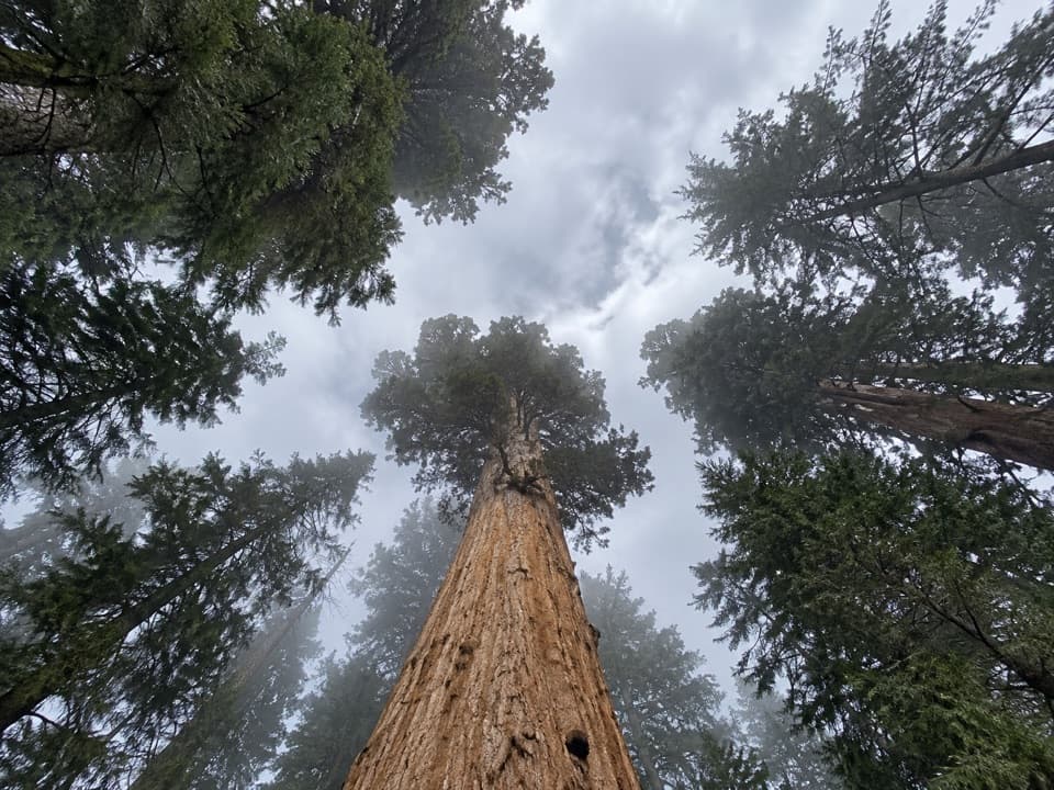 ModerateTrail of the Sequoias3.3 mi · 2.3 hr · At the trailheadQuiet sequoia traverse from Crescent Meadow to the Congress Trail.
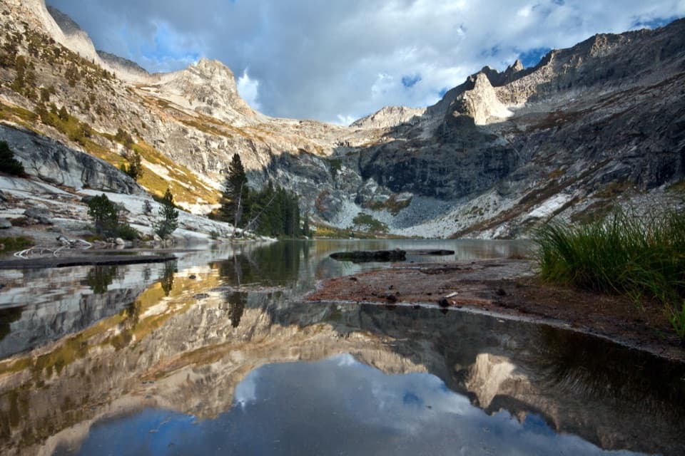 ChallengingHamilton Lakes Trail30.2 mi · 18 hr · At the trailheadA high granite lake, reached by an exposed Sierra traverse.
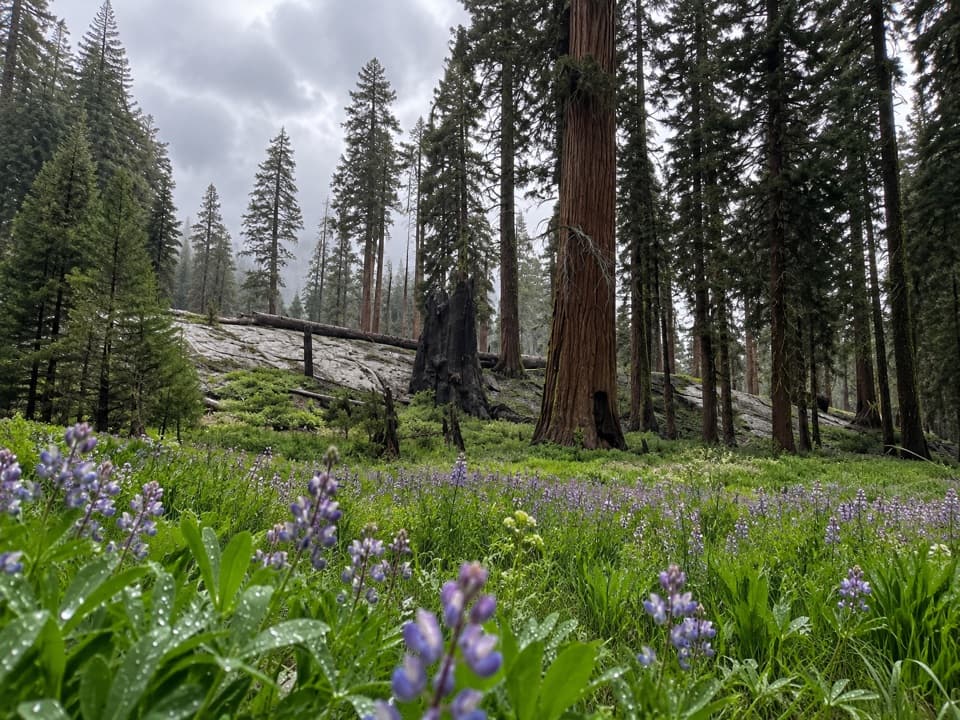 ModerateCircle Meadow Loop4.3 mi · 2.5 hr · At the trailheadA meadow circuit through Giant Forest's wildflowers and sequoias.
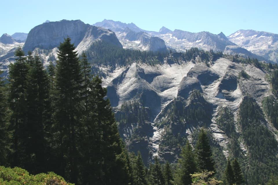 ChallengingBearpaw Meadow via High Sierra Trail22.8 mi · 16 hr · At the trailheadA long Sierra traverse opens to Kaweah canyon and Bearpaw Camp.
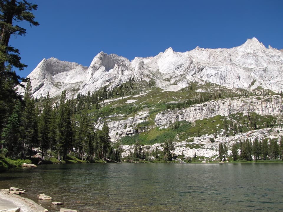 ChallengingTamarack Lake Trail31.8 mi · 16 hr · At the trailheadA 32-mile out-and-back to a lake at 9,215 feet.
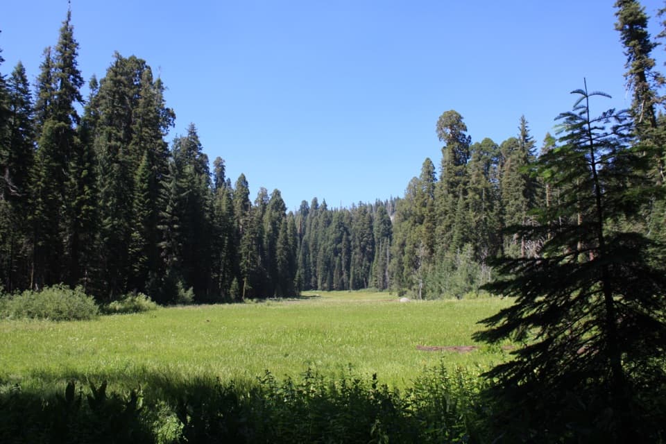 Sight · 0.1 mi awayCrescent MeadowAn open meadow framed by giant sequoias, with two memorable tree stops.
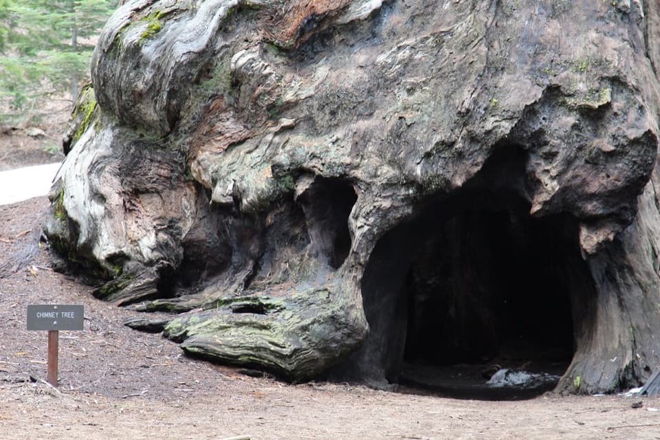 Sight · 0.4 mi awayChimney TreeStep inside the hollow left by a 1914 fire.
 Sight · 0.4 mi awaySquatters CabinA tiny log cabin anchors a larger Kaweah Colony story.
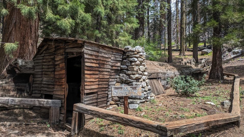 Sight · 0.5 mi awayTharp's LogA 70-foot sequoia log became a summer cabin.
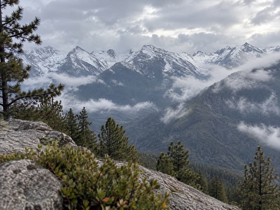 Sight · 0.6 mi awayEagle ViewA short climb to a long look across the high Sierra.
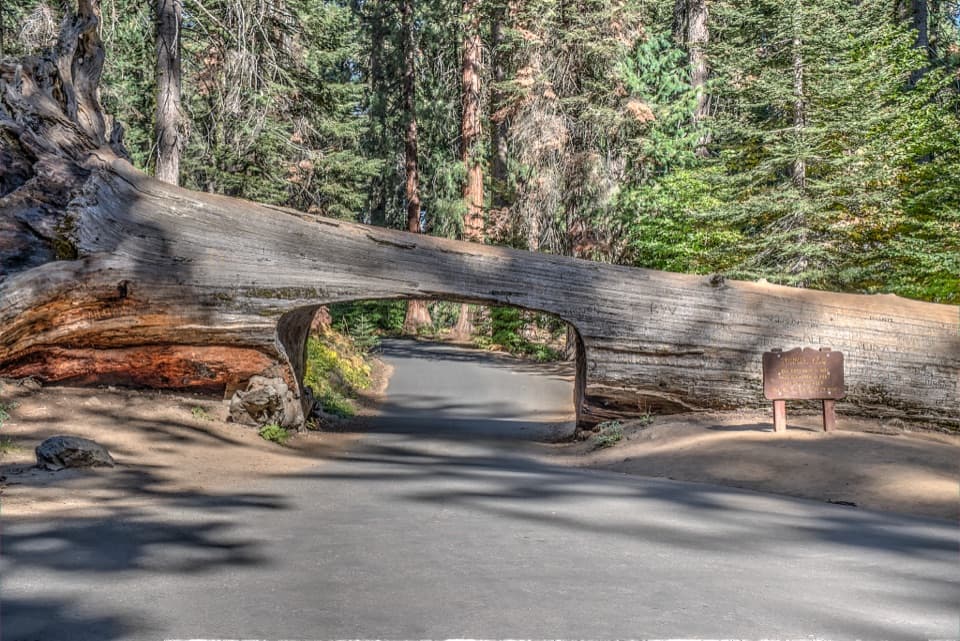 Sight · 0.7 mi awayTunnel LogDrive through a fallen giant sequoia on Crescent Meadow Road.
 Sight · 0.9 mi awayParker GroupEight sequoias, close enough to study their fire scars.
 Sight · 1 mi awayButtress TreeA fallen giant sequoia with an astonishingly broad root plate.
Parkwolf’s Sequoia ranking

The audio tour guide for the drive, plus offline maps, trails, and wildlife heatmaps for when the signal drops.




