Parking
Use the Skyline Drive access near Stony Man, then reach Crusher Ridge from the Appalachian Trail side. The lower boundary end has no verified public parking, so plan to retrace the route.

Shenandoah National Park, VA
A wooded ridge hike with a steep climb back to the AT.
Overview
Map & elevation
Plan your hike

The highest, rockiest slopes around here are a summer buffet for grizzly bears.
Shenandoah Tour Guide
Parkwolf is a GPS audio tour guide for Shenandoah National Park. As you drive, it chimes in with what’s ahead: hidden gems, upcoming stops, history, geology, and wildlife, right through your car’s speakers.
See the Shenandoah audio tourRecorded for this area
Stony Man Mountain Overlook: The Roadside View“You're nearing Stony Man Mountain Overlook, a roadside view north across wooded ridges and valley fields. Look for Hughes River Gap, the notch cutting through the ridge line.”
Plays on the road 0.3 mi from the trailhead in the Parkwolf Shenandoah Tour Guide.
More stories near here in the app
“Fantastic app with many points of information… It’s great to just turn on while you’re driving and it gives you an audio tour of the national Park. We love it!!!!”


Trail guide
Crusher Ridge Trail is a blue-blazed, wooded route beginning on the Appalachian Trail side of Skyline Drive and descending toward Shenandoah’s boundary. The mapped in-park stretch is about 2.3 miles one way. Because the route continues toward private land beyond the park line and public passage is unconfirmed, use the public segment as a 4.7-mile out-and-back: turn around before leaving park land and retrace the same tread. Allow about 4½ hours.
The route rises briefly near its AT-side start, then drops through the woods toward the boundary. The elevation profile loses roughly 1,400 feet from start to turnaround, so the return is a long, sustained climb. This is a hard hike; save energy for the way back and carry water. The route length describes the mapped trail corridor and its return, not the short approach from Skyline Drive.
Reach the start from the Skyline Drive access near Stony Man by walking to the Crusher Ridge connection from the AT side; the lower boundary end has no verified public parking. The trail stays in forest, and no viewpoint on Crusher Ridge itself was verified. Stony Man Overlook is nearby but is a separate stop. Dogs are allowed on leash on this trail. The park boundary may not be obvious on the ground, so use a reliable offline map and do not continue onto private land.
Wildlife
 325 sightingsBlack BearMost seen around 6 AMSighting map
 21 sightingsBald EagleMost seen around 10 AMSighting map
 1,036 sightingsWhite-tailed DeerMost seen around 7 PMSighting map
 167 sightingsWild TurkeyMost seen around 7 AMSighting map
 93 sightingsTimber RattlesnakeMost seen around 6 PMSighting map
 24 sightingsCoyoteMost seen around 6 AMSighting map
Sighting maps show where each species has been reported across Shenandoah. Wildlife moves, so no sighting is guaranteed.
Keep exploring
 ChallengingNicholson Hollow - Corbin Mountain Loop11.6 mi · 9 hr · At the trailheadA hard 11.6-mile loop through Nicholson Hollow and Corbin Mountain.
 ModerateCorbin Cabin via Corbin Cabin Cutoff2.8 mi · 2.5 hr · 0.5 mi awayA steep, wooded walk to a historic hollow cabin.
 ModerateCorbin Cabin and Nicholson Hollow Loop4.2 mi · 3.5 hr · 0.5 mi awayA steep hollow loop to a historic cabin and river crossings.
 EasyLittle Stony Man Hike1 mi · 1 hr · 0.6 mi awayA short climb to open views across Page Valley.ModerateStony Man and Little Stony Man Hike3 mi · 2 hr · 0.6 mi awayTwo rocky viewpoints and a Skyline Drive view in three miles.
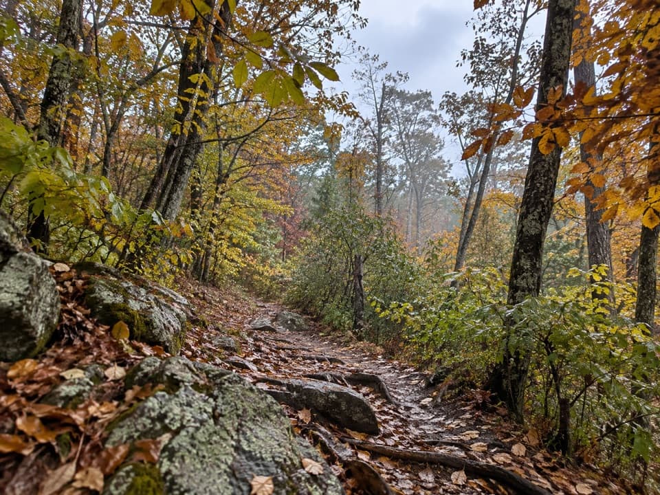 ModerateThe Pinnacle via Appalachian Trail2.4 mi · 1.8 hr · 1.2 mi awayA short AT climb to a broad summit and valley views.
 ChallengingLeading Ridge Trail2.7 mi · 2.8 hr · 1.5 mi awayA short ridge hike with a punishing climb and steep return
 EasyStony Man Hike1.6 mi · 1.5 hr · 1.6 mi awayA short loop to greenstone ledges and wide valley views.
 Sight · 0.3 mi awayStony Man Mountain OverlookA roadside pause for a broad north-facing ridge view.
 Sight · 0.8 mi awayLittle Stony Man CliffsA short rocky climb opens over Skyline Drive and Page Valley.Lodging · 1.1 mi awayCorbin CabinA restored farm cabin at the end of a river-valley hike.
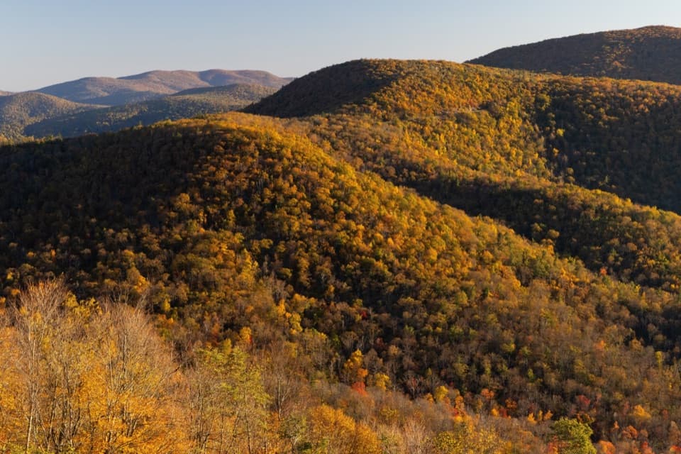 Scenic pullout · 1.1 mi awayHemlock Springs OverlookA quick overlook with a mountain view and a hemlock story.
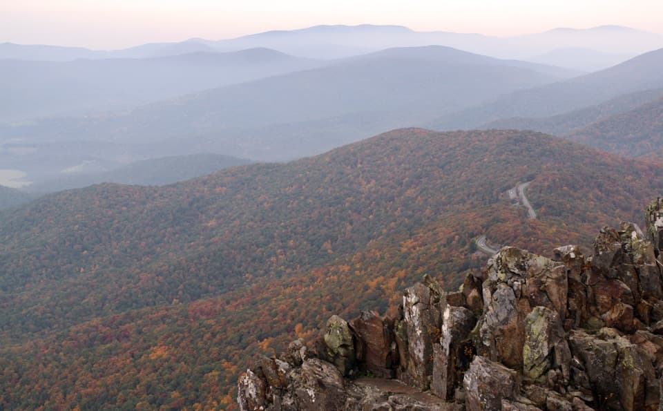 Sight · 1.3 mi awayStony Man SummitA short climb ends at a rocky, west-facing valley panorama.
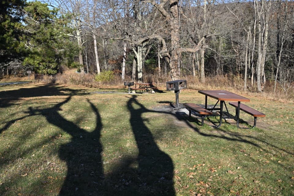 Picnic area · 1.3 mi awayPinnacles Picnic GroundsA historic picnic loop with Appalachian Trail access.
 Scenic pullout · 1.5 mi awayJewell Hollow OverlookMorning Star Lake sits just left of layered Blue Ridge ridges.
 Sight · 1.8 mi awayThorofare Mountain OverlookA quick pull-off for Old Rag and the layered eastern ridges.
Parkwolf’s Shenandoah ranking

The audio tour guide for the drive, plus offline maps, trails, and wildlife heatmaps for when the signal drops.




