Parking
Use designated Nicholson Hollow parking on Skyline Drive near milepost 38. The park itinerary also lists Corbin parking for this circuit.

Shenandoah National Park, VA
A hard 11.6-mile loop through Nicholson Hollow and Corbin Mountain.
Overview
Map & elevation
Plan your hike

The highest, rockiest slopes around here are a summer buffet for grizzly bears.
Shenandoah Tour Guide
Parkwolf is a GPS audio tour guide for Shenandoah National Park. As you drive, it chimes in with what’s ahead: hidden gems, upcoming stops, history, geology, and wildlife, right through your car’s speakers.
See the Shenandoah audio tourRecorded for this area
Stony Man Mountain Overlook: The Roadside View“You're nearing Stony Man Mountain Overlook, a roadside view north across wooded ridges and valley fields. Look for Hughes River Gap, the notch cutting through the ridge line.”
Plays on the road 0.3 mi from the trailhead in the Parkwolf Shenandoah Tour Guide.
More stories near here in the app
“Fantastic app with many points of information… It’s great to just turn on while you’re driving and it gives you an audio tour of the national Park. We love it!!!!”


Trail guide
This 11.6-mile loop starts at Nicholson Hollow parking near milepost 38 on Skyline Drive. Follow Nicholson Hollow Trail downhill for about 1.7 miles, turn right onto Indian Run for another 1.7 miles, then left onto Corbin Mountain Trail for 3.8 miles. Rejoin Nicholson Hollow and climb roughly 4 to 4.5 miles back to the car. The upper stretch of Nicholson Hollow is walked in both directions, so some ground repeats. Allow a full day, around 8 to 10 hours with breaks and stream crossings.
The route crosses the Hughes River several times in Nicholson Hollow. It can rise to knee or waist depth in spring or after heavy rain, so high water can make this loop unsafe. The turns in this hollow can also be confusing: watch for the concrete trail posts and bring a detailed topographic map.
The route moves from a mountain ridge down into a wooded river valley and back out again. Nicholson Hollow has cascades and swimming holes; one large pool with a small waterfall lies downstream of the recommended campsite area. Treat that as an optional short exploration, since the itinerary does not give a precise spur distance. The pool and boulders make the route's clearest photo stop.
Start from Nicholson Hollow parking on Skyline Drive near milepost 38; the park itinerary also lists Corbin parking for this circuit. Dogs are allowed on this route on a physical leash no longer than six feet. If you make this an overnight hike, a backcountry camping permit is required and must be obtained online or by phone; there is no paper or in-person registration.
Wildlife
 325 sightingsBlack BearMost seen around 6 AMSighting map
 21 sightingsBald EagleMost seen around 10 AMSighting map
 1,036 sightingsWhite-tailed DeerMost seen around 7 PMSighting map
 167 sightingsWild TurkeyMost seen around 7 AMSighting map
 93 sightingsTimber RattlesnakeMost seen around 6 PMSighting map
 24 sightingsCoyoteMost seen around 6 AMSighting map
Sighting maps show where each species has been reported across Shenandoah. Wildlife moves, so no sighting is guaranteed.
Keep exploring
 ChallengingCrusher Ridge Trail4.7 mi · 4.5 hr · At the trailheadA wooded ridge hike with a steep climb back to the AT.
 ModerateCorbin Cabin via Corbin Cabin Cutoff2.8 mi · 2.5 hr · 0.5 mi awayA steep, wooded walk to a historic hollow cabin.
 ModerateCorbin Cabin and Nicholson Hollow Loop4.2 mi · 3.5 hr · 0.5 mi awayA steep hollow loop to a historic cabin and river crossings.
 EasyLittle Stony Man Hike1 mi · 1 hr · 0.7 mi awayA short climb to open views across Page Valley.ModerateStony Man and Little Stony Man Hike3 mi · 2 hr · 0.7 mi awayTwo rocky viewpoints and a Skyline Drive view in three miles.
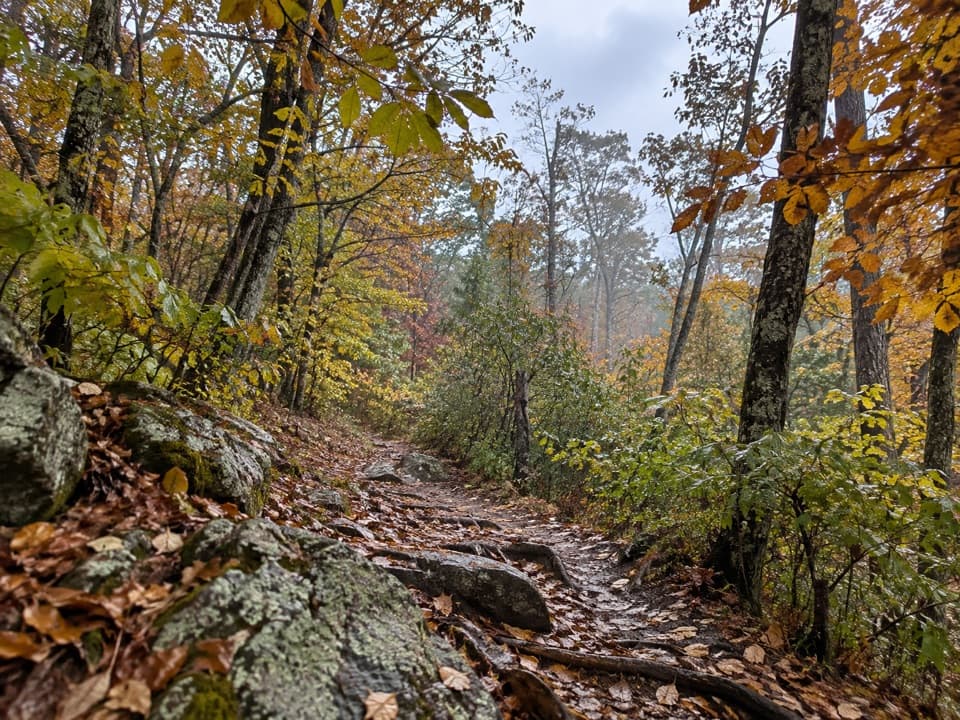 ModerateThe Pinnacle via Appalachian Trail2.4 mi · 1.8 hr · 1.2 mi awayA short AT climb to a broad summit and valley views.
 ChallengingLeading Ridge Trail2.7 mi · 2.8 hr · 1.5 mi awayA short ridge hike with a punishing climb and steep return
 EasyStony Man Hike1.6 mi · 1.5 hr · 1.7 mi awayA short loop to greenstone ledges and wide valley views.
 Sight · 0.3 mi awayStony Man Mountain OverlookA roadside pause for a broad north-facing ridge view.
 Sight · 0.8 mi awayLittle Stony Man CliffsA short rocky climb opens over Skyline Drive and Page Valley.Lodging · 1.1 mi awayCorbin CabinA restored farm cabin at the end of a river-valley hike.
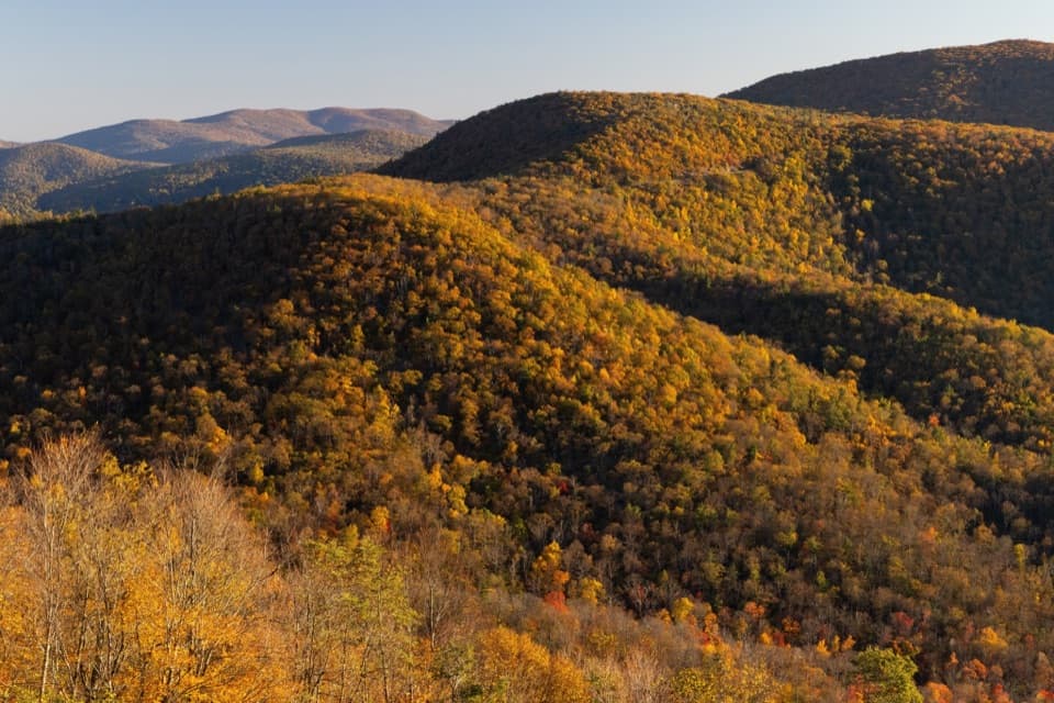 Scenic pullout · 1.1 mi awayHemlock Springs OverlookA quick overlook with a mountain view and a hemlock story.
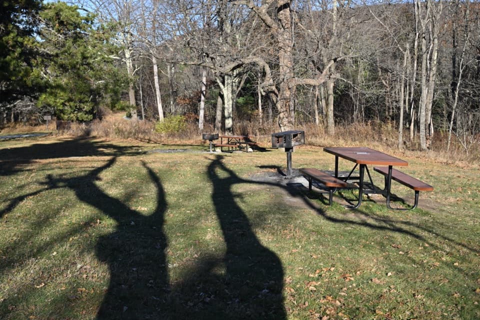 Picnic area · 1.3 mi awayPinnacles Picnic GroundsA historic picnic loop with Appalachian Trail access.
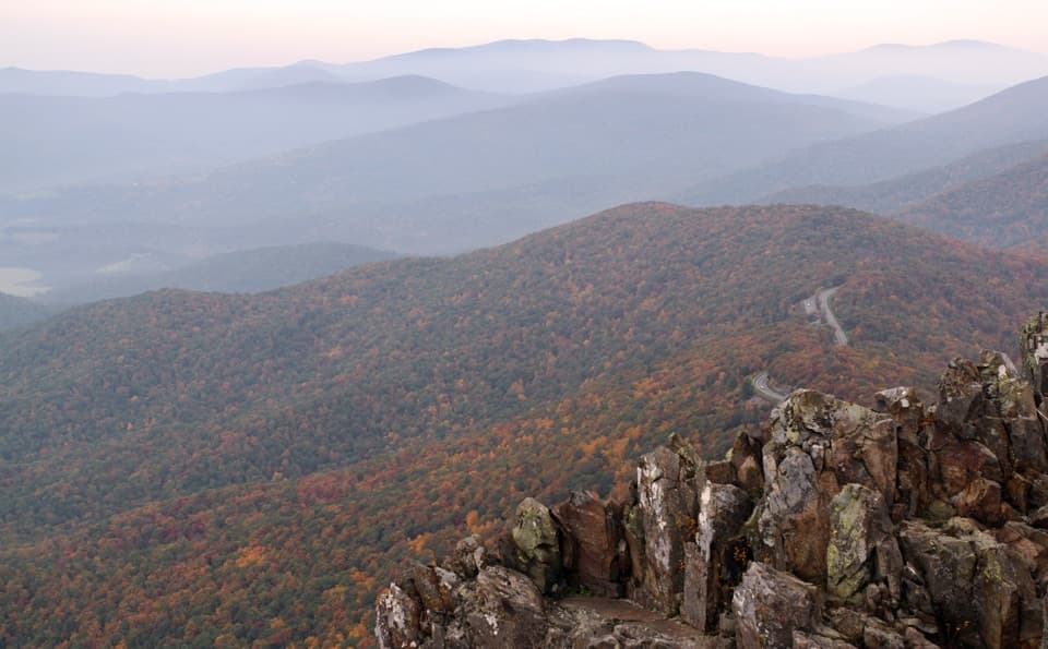 Sight · 1.3 mi awayStony Man SummitA short climb ends at a rocky, west-facing valley panorama.
 Scenic pullout · 1.5 mi awayJewell Hollow OverlookMorning Star Lake sits just left of layered Blue Ridge ridges.
 Sight · 1.8 mi awayThorofare Mountain OverlookA quick pull-off for Old Rag and the layered eastern ridges.
Parkwolf’s Shenandoah ranking

The audio tour guide for the drive, plus offline maps, trails, and wildlife heatmaps for when the signal drops.




