Parking
Park at the far end of Pinnacles Picnic Grounds on Skyline Drive, at mile 36.7. Find the Appalachian Trail sign near the restrooms.
Shenandoah National Park, VA
A short AT climb to a broad summit and valley views.
Overview
Map & elevation
Plan your hike

The highest, rockiest slopes around here are a summer buffet for grizzly bears.
Shenandoah Tour Guide
Parkwolf is a GPS audio tour guide for Shenandoah National Park. As you drive, it chimes in with what’s ahead: hidden gems, upcoming stops, history, geology, and wildlife, right through your car’s speakers.
See the Shenandoah audio tourRecorded for this trailhead
Pinnacles Picnic Grounds: Lunch and a Four-Sided Fireplace“The entrance to Pinnacles Picnic Grounds is coming up, a good place to eat a lunch you've brought. Tables are scattered around the loop rather than gathered in one spot.”
Plays as you drive up to this trailhead in the Parkwolf Shenandoah Tour Guide.
More stories near here in the app
“Fantastic app with many points of information… It’s great to just turn on while you’re driving and it gives you an audio tour of the national Park. We love it!!!!”


Trail guide
The Pinnacle via Appalachian Trail is a 2.4-mile out-and-back from Pinnacles Picnic Grounds to the broad summit, then back the same way. Allow about 1¾ hours. The full return walk has roughly 560 feet of cumulative climbing, including a small dip before the final climb. Choose it for a real summit and a couple of west-facing Shenandoah Valley views without committing to the much longer Appalachian Trail extension toward Marys Rock.
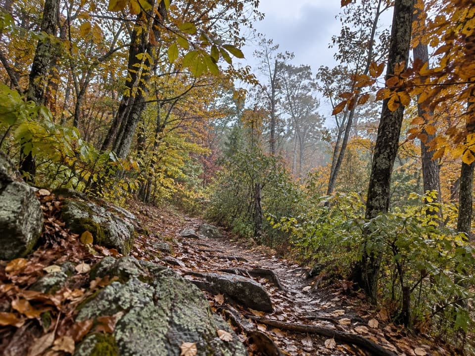
From the far end of the picnic area, walk toward the Appalachian Trail sign near the restrooms and follow the white blazes. The first stretch is mostly level and shaded. Pass the Jewell Hollow Overlook turnoff, then continue straight at the Leading Ridge Trail junction about half a mile in. The trail drops a little before it starts climbing more steadily; stay on the AT at both junctions to reach The Pinnacle.
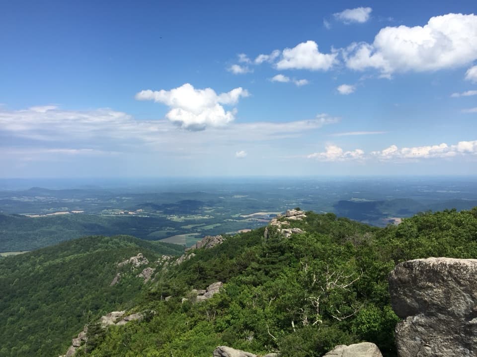
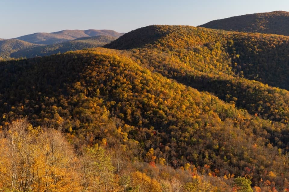
A break beyond the Jewell Hollow turnoff looks north and west across the Shenandoah Valley toward Luray and Massanutten Mountain. The rest of the approach stays wooded, so the view comes in openings rather than one long panorama. Near the summit, the trail steepens and passes large blocks of Pedlar Formation granite, an unusual rock type in this part of the park.
The high point is fairly level and spread out. The best one or two viewpoints are a little south of the top and face west; Marys Peak is visible to the north. Walk past the highest ground before turning around, since the clearest openings are just beyond it.
Park at the far end of Pinnacles Picnic Grounds on Skyline Drive, mile 36.7. The restrooms and picnic tables are close to the AT sign, and the grounds have a year-round water faucet. Leashed dogs are allowed; keep the leash no longer than six feet. The upper approach is steeper and rocky underfoot, especially where granite blocks border the trail.
Wildlife
 325 sightingsBlack BearMost seen around 6 AMSighting map
 21 sightingsBald EagleMost seen around 10 AMSighting map
 1,036 sightingsWhite-tailed DeerMost seen around 7 PMSighting map
 167 sightingsWild TurkeyMost seen around 7 AMSighting map
 93 sightingsTimber RattlesnakeMost seen around 6 PMSighting map
 24 sightingsCoyoteMost seen around 6 AMSighting map
Sighting maps show where each species has been reported across Shenandoah. Wildlife moves, so no sighting is guaranteed.
Keep exploring
 ChallengingLeading Ridge Trail2.7 mi · 2.8 hr · 0.3 mi awayA short ridge hike with a punishing climb and steep return
 ModerateCorbin Cabin and Nicholson Hollow Loop4.2 mi · 3.5 hr · 0.7 mi awayA steep hollow loop to a historic cabin and river crossings.
 ModerateCorbin Cabin via Corbin Cabin Cutoff2.8 mi · 2.5 hr · 0.7 mi awayA steep, wooded walk to a historic hollow cabin.
 ChallengingHannah, Hot-Short, and Catlett Loop9.1 mi · 7.5 hr · 1.1 mi awayA strenuous loop past cascades, stone walls, and mining traces.
 ChallengingNicholson Hollow - Corbin Mountain Loop11.6 mi · 9 hr · 1.2 mi awayA hard 11.6-mile loop through Nicholson Hollow and Corbin Mountain.
 ChallengingCrusher Ridge Trail4.7 mi · 4.5 hr · 1.2 mi awayA wooded ridge hike with a steep climb back to the AT.
 EasyLittle Stony Man Hike1 mi · 1 hr · 1.8 mi awayA short climb to open views across Page Valley.ModerateStony Man and Little Stony Man Hike3 mi · 2 hr · 1.8 mi awayTwo rocky viewpoints and a Skyline Drive view in three miles.
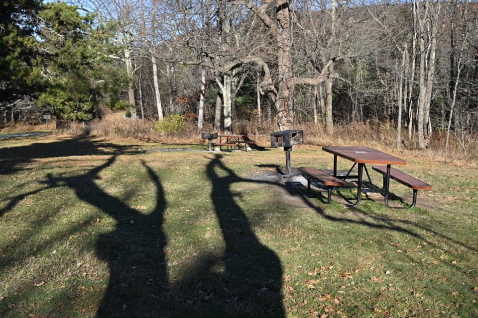 Picnic area · 0.1 mi awayPinnacles Picnic GroundsA historic picnic loop with Appalachian Trail access.
 Scenic pullout · 0.3 mi awayJewell Hollow OverlookMorning Star Lake sits just left of layered Blue Ridge ridges.
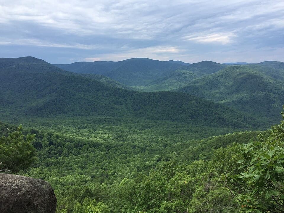 Sight · 0.7 mi awayThe PinnacleA short AT climb opens onto views across Shenandoah Valley.
 Sight · 1.1 mi awayPinnacles OverlookA roadside view puts Old Rag across Hannah Run.
 Sight · 1.5 mi awayStony Man Mountain OverlookA roadside pause for a broad north-facing ridge view.Lodging · 1.5 mi awayCorbin CabinA restored farm cabin at the end of a river-valley hike.
 Sight · 2 mi awayLittle Stony Man CliffsA short rocky climb opens over Skyline Drive and Page Valley.
 Scenic pullout · 2.2 mi awayHemlock Springs OverlookA quick overlook with a mountain view and a hemlock story.
Parkwolf’s Shenandoah ranking

The audio tour guide for the drive, plus offline maps, trails, and wildlife heatmaps for when the signal drops.