Parking
Little Stony Man Parking is on the west side of Skyline Drive near milepost 39.1. The lot has about eight spaces, and availability varies. The Skyline Drive entrance fee applies.

#10 of 163 trails in Shenandoah
Shenandoah National Park, VA
A short climb to open views across Page Valley.
Overview
Map & elevation
Plan your hike

The highest, rockiest slopes around here are a summer buffet for grizzly bears.
Shenandoah Tour Guide
Parkwolf is a GPS audio tour guide for Shenandoah National Park. As you drive, it chimes in with what’s ahead: hidden gems, upcoming stops, history, geology, and wildlife, right through your car’s speakers.
See the Shenandoah audio tourRecorded for this trailhead
Little Stony Man: A Short Climb Above Skyline Drive“You're approaching the Little Stony Man trailhead, a good choice for a short climb to open valley views. Allow about an hour for roughly a mile out and back, with steps and uneven rock leading to exposed ledges.”
Plays as you drive up to this trailhead in the Parkwolf Shenandoah Tour Guide.
More stories near here in the app
“Fantastic app with many points of information… It’s great to just turn on while you’re driving and it gives you an audio tour of the national Park. We love it!!!!”


Trail guide
Little Stony Man Hike is about a 1.0-mile out-and-back from the milepost 39.1 parking area to the cliffs and back. It's an easy choice for a proper valley overlook without committing to Stony Man's longer summit route; allow about an hour. Published gain estimates range from 190 to 270 feet. Terrain elevations along the mapped walk rise about 255 feet from parking to the viewpoint, so expect a real climb for such a short hike.
Take the connector from Little Stony Man Parking to the white-blazed Appalachian Trail and turn left. Follow it about 0.4 mile to the blue-blazed Passamaquoddy Trail, turn right, and continue to the Little Stony Man viewpoint. Then retrace the same way. The park map lists a 0.9-mile round trip; tracing its directions and the mapped trail from the parking area comes out just about a mile. The longer Passamaquoddy Loop and the Stony Man summit are different hikes.
Rock outcrops open toward Page Valley and the Blue Ridge, with Skyline Drive winding across the nearer slopes; Lake Arrowhead is visible on clear days. Shallow pools sometimes collect in the rock after rain. For a photo, leave a little ledge in the foreground so the valley and road give the view scale. Skyland visitors were already walking these trails in the late 1800s and early 1900s, before Shenandoah became a national park.
Start from the small parking area on Skyline Drive's west side near milepost 39.1. It has about eight spaces, and parking pressure varies. The Skyline Drive entrance fee applies. Dogs are allowed on this route on a physical leash no longer than six feet. The opening climb has steps; watch your footing on uneven rock and stay back from the cliff edge.
Wildlife
 325 sightingsBlack BearMost seen around 6 AMSighting map
 21 sightingsBald EagleMost seen around 10 AMSighting map
 1,036 sightingsWhite-tailed DeerMost seen around 7 PMSighting map
 167 sightingsWild TurkeyMost seen around 7 AMSighting map
 93 sightingsTimber RattlesnakeMost seen around 6 PMSighting map
 24 sightingsCoyoteMost seen around 6 AMSighting map
Sighting maps show where each species has been reported across Shenandoah. Wildlife moves, so no sighting is guaranteed.
Keep exploring
ModerateStony Man and Little Stony Man Hike3 mi · 2 hr · At the trailheadTwo rocky viewpoints and a Skyline Drive view in three miles. ChallengingCrusher Ridge Trail4.7 mi · 4.5 hr · 0.6 mi awayA wooded ridge hike with a steep climb back to the AT.
 ChallengingNicholson Hollow - Corbin Mountain Loop11.6 mi · 9 hr · 0.7 mi awayA hard 11.6-mile loop through Nicholson Hollow and Corbin Mountain.
 EasyStony Man Hike1.6 mi · 1.5 hr · 1 mi awayA short loop to greenstone ledges and wide valley views.
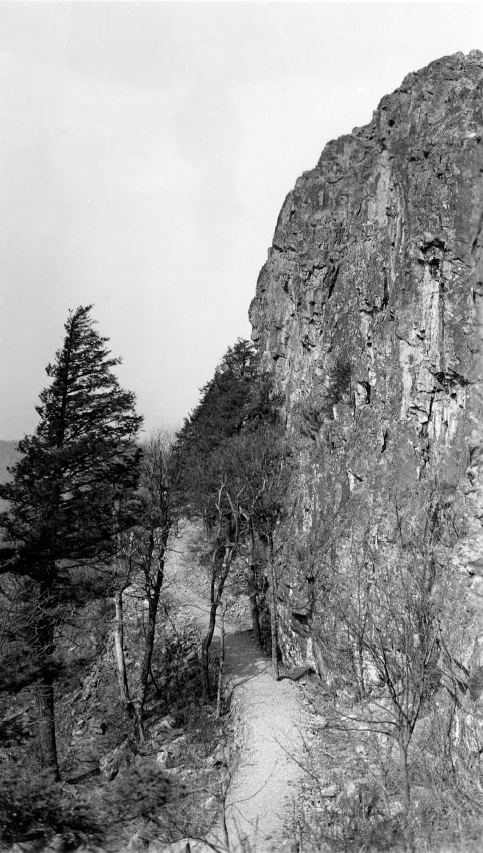 ModeratePassamaquoddy Loop3.4 mi · 3 hr · 1 mi awayA wooded Skyland circuit with rocky clearings and valley views.
 ModerateCorbin Cabin via Corbin Cabin Cutoff2.8 mi · 2.5 hr · 1.1 mi awayA steep, wooded walk to a historic hollow cabin.
 ModerateCorbin Cabin and Nicholson Hollow Loop4.2 mi · 3.5 hr · 1.1 mi awayA steep hollow loop to a historic cabin and river crossings.
 EasyMillers Head Trail1.6 mi · 2 hr · 1.4 mi awayRocky climb to a former fire-tower site with wide valley views.
 Sight · 0.2 mi awayLittle Stony Man CliffsA short rocky climb opens over Skyline Drive and Page Valley.
 Sight · 0.4 mi awayStony Man Mountain OverlookA roadside pause for a broad north-facing ridge view.
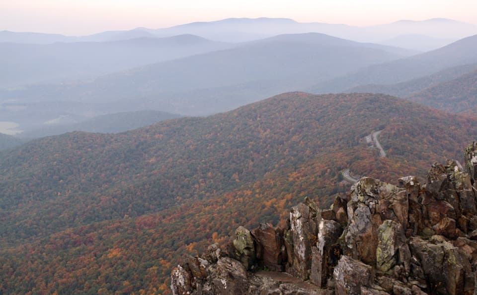 Sight · 0.6 mi awayStony Man SummitA short climb ends at a rocky, west-facing valley panorama.
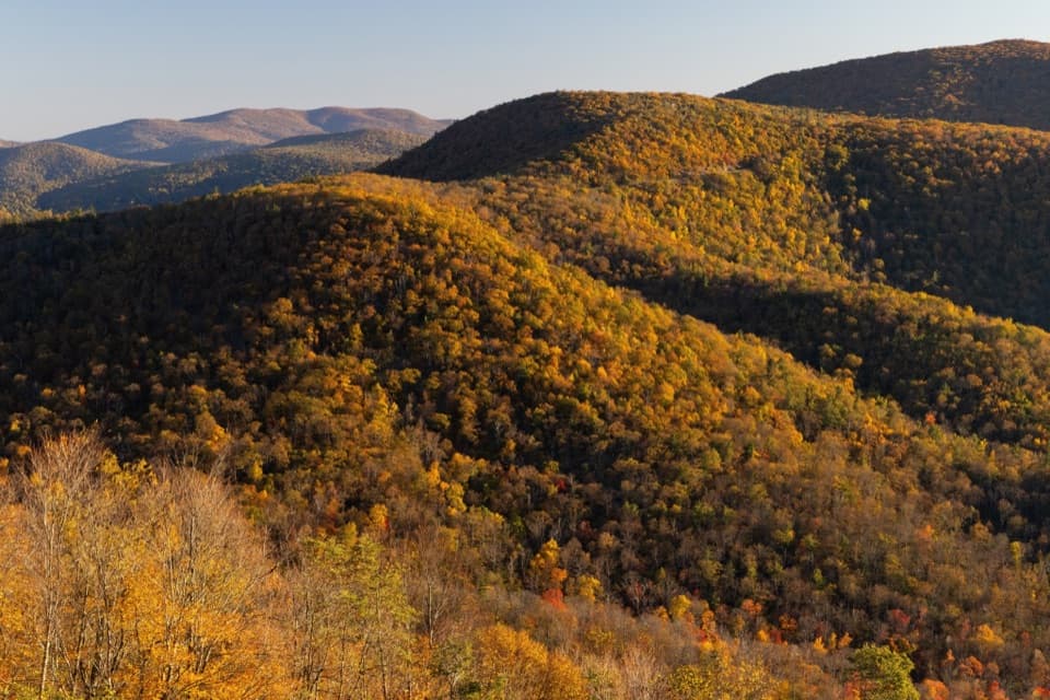 Scenic pullout · 0.6 mi awayHemlock Springs OverlookA quick overlook with a mountain view and a hemlock story.
 Sight · 1.2 mi awaySkylandA historic Skyline Drive resort with valley-view dining and nearby hikes.Lodging · 1.2 mi awayCorbin CabinA restored farm cabin at the end of a river-valley hike.
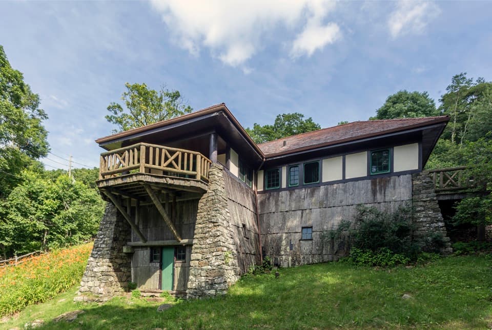 Sight · 1.3 mi awayMassanutten LodgeA cottage museum about Skyland's early years and its women.
 Sight · 1.3 mi awayThorofare Mountain OverlookA quick pull-off for Old Rag and the layered eastern ridges.
Parkwolf’s Shenandoah ranking

The audio tour guide for the drive, plus offline maps, trails, and wildlife heatmaps for when the signal drops.




