Parking
Piney River Parking Area on Skyline Drive at mile 22; the parking area is the trailhead.
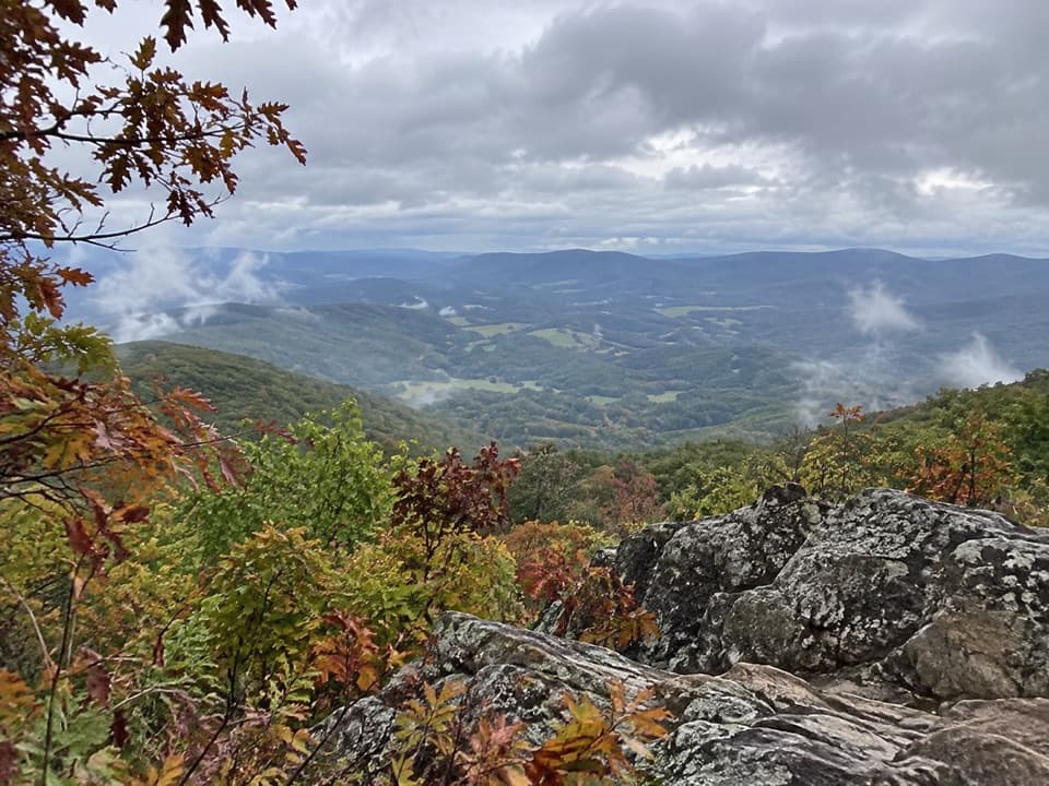
Shenandoah National Park, VA
A wooded five-mile circuit to a rocky view above Hogback.
Overview
Map & elevation
Plan your hike

The highest, rockiest slopes around here are a summer buffet for grizzly bears.
Shenandoah Tour Guide
Parkwolf is a GPS audio tour guide for Shenandoah National Park. As you drive, it chimes in with what’s ahead: hidden gems, upcoming stops, history, geology, and wildlife, right through your car’s speakers.
See the Shenandoah audio tourRecorded for this trailhead
Piney River: A CCC Office and a Longer Walk“You're approaching Piney River, a hiking access point with a surviving office from a Civilian Conservation Corps camp. Landscape architects worked here on plans for the park's infrastructure.”
Plays as you drive up to this trailhead in the Parkwolf Shenandoah Tour Guide.
More stories near here in the app
“Fantastic app with many points of information… It’s great to just turn on while you’re driving and it gives you an audio tour of the national Park. We love it!!!!”


Trail guide
Sugarloaf Loop is a moderate 5-mile circuit from Piney River Parking Area at Skyline Drive mile 22. Follow Piney Branch Upper to Pole Bridge Link, turn left onto it, then left onto Sugarloaf Trail; the white-blazed Appalachian Trail returns you to the same lot. The route gains about 1,120 feet and shares a short stretch of Piney Branch near the trailhead as it closes. Plan about 3½ hours at a steady pace. The park lists 6–7 hours, so leave a half day if you prefer longer stops or a slower outing.
The Piney Branch and Pole Bridge sections wind through mature woodland on packed dirt, roots and stones. A few small streams cross the route, and parts of the trail get rockier as it climbs. Watch your footing on wet roots and rocks. The Appalachian Trail finishes the loop through the woods.
A short spur to a rocky outcrop is easy to pass. It opens onto broad, layered mountain ridges and the valley below. Another rocky opening sits near Skyline Drive above Hogback Overlook, with smaller outcrops along the return looking toward the Luray Valley. For a photo, keep some foreground rock in the frame so the view reads as an overlook rather than a distant wall of ridges. Mountain laurel blooms abundantly here in early summer.
Start at Piney River Parking Area on Skyline Drive at mile 22. There is no reservation or separate trail fee, but park admission requires a pass. Dogs are allowed on a leash no longer than six feet. This route is not ADA-accessible. Bring your own drinking water; a potable source is not established along the route. Elkwallow Wayside at mile 24, about two miles south on Skyline Drive, has seasonal food, gifts and supplies; it is a separate roadside stop, not part of the hike.
Wildlife
 325 sightingsBlack BearMost seen around 6 AMSighting map
 21 sightingsBald EagleMost seen around 10 AMSighting map
 1,036 sightingsWhite-tailed DeerMost seen around 7 PMSighting map
 167 sightingsWild TurkeyMost seen around 7 AMSighting map
 93 sightingsTimber RattlesnakeMost seen around 6 PMSighting map
 24 sightingsCoyoteMost seen around 6 AMSighting map
Sighting maps show where each species has been reported across Shenandoah. Wildlife moves, so no sighting is guaranteed.
Keep exploring
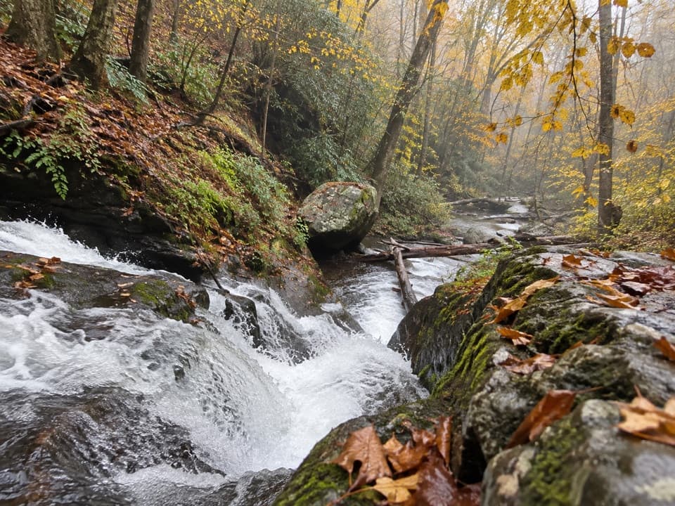 ChallengingPiney Branch and Piney Ridge Loop10 mi · 8 hr · 0.1 mi awayWalk Piney Branch’s cascades before climbing the wooded Piney Ridge.
 ModerateOverall Run Falls5.1 mi · 4 hr · 0.7 mi awayThe gorge view still pays off when the falls run low.
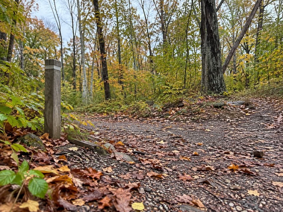 EasyTraces Trail1.7 mi · 1.3 hr · 0.7 mi awayStone walls and a river view on an easy campground loop.ChallengingOverall Run Falls and Heiskell Hollow Loop15.6 mi · 13 hr · 0.9 mi awayA three-day backcountry loop linking waterfalls and Heiskell Hollow.
 ChallengingOverall Run, Piney Branch & Jeremys Run Loop34.2 mi · 1 day · 0.9 mi awayFour hiking days link a 93-foot waterfall and three wilderness streams.
 ChallengingTuscarora Trail through Shenandoah8 mi · 6 hr · 0.9 mi awayAn eight-mile one-way traverse past Overall Run’s gorge and falls.ChallengingOverall Run Falls and Piney Branch Loop22.3 mi · 18 hr · 1 mi awayThree-day backcountry loop past Overall Run Falls and Piney Branch.
 ChallengingKnob Mountain – Jeremy's Run Loop13.3 mi · 9 hr · 1.2 mi awayA long wooded loop with repeated crossings of Jeremy's Run.
 Sight · 0.1 mi awayPiney River CCC BuildingA modest CCC office tied to Shenandoah’s early park design
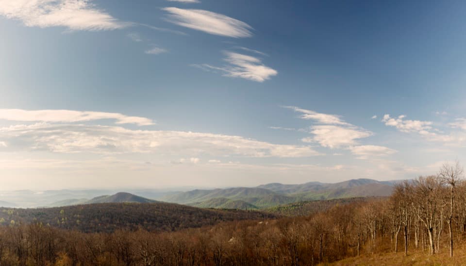 Scenic pullout · 0.3 mi awayRattlesnake Point OverlookPick out six Blue Ridge peaks from a meadow-framed roadside view.
 Lodging · 0.5 mi awayRange View CabinA hike-in cabin with a signed stone from 1933.
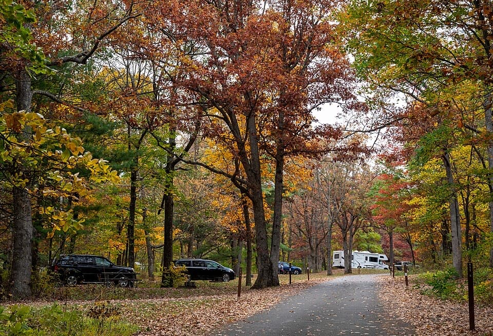 Campground · 0.9 mi awayMathews Arm CampgroundWooded campsites, an easy loop, and no showers or hookups.
 Sight · 1.1 mi awayHogback OverlookLayered ridges lead north toward the Alleghenies on clear days.
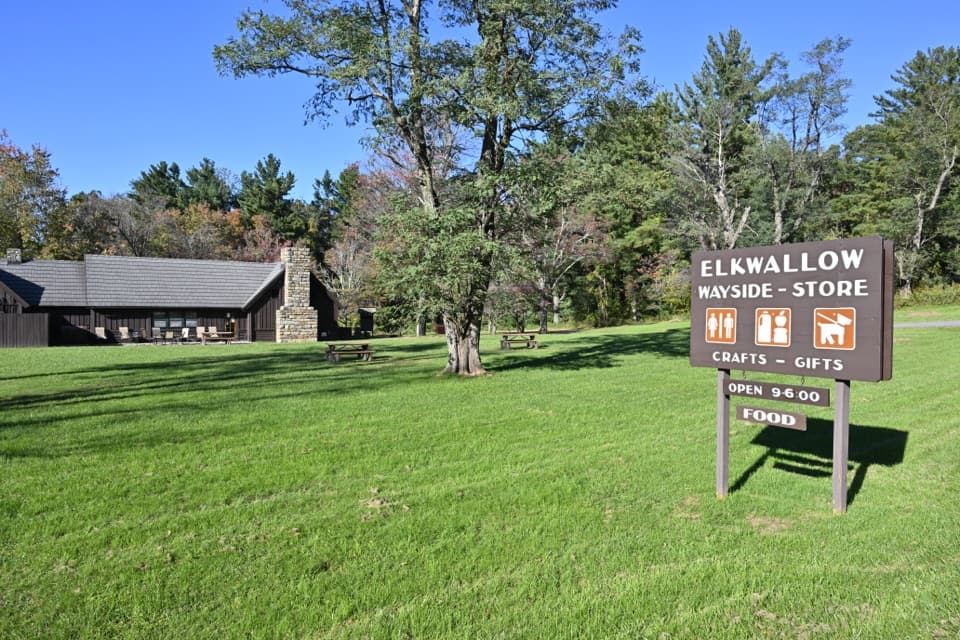 Food · 1.2 mi awayElkwallow WaysideA practical Skyline Drive stop for smash burgers and camping supplies.
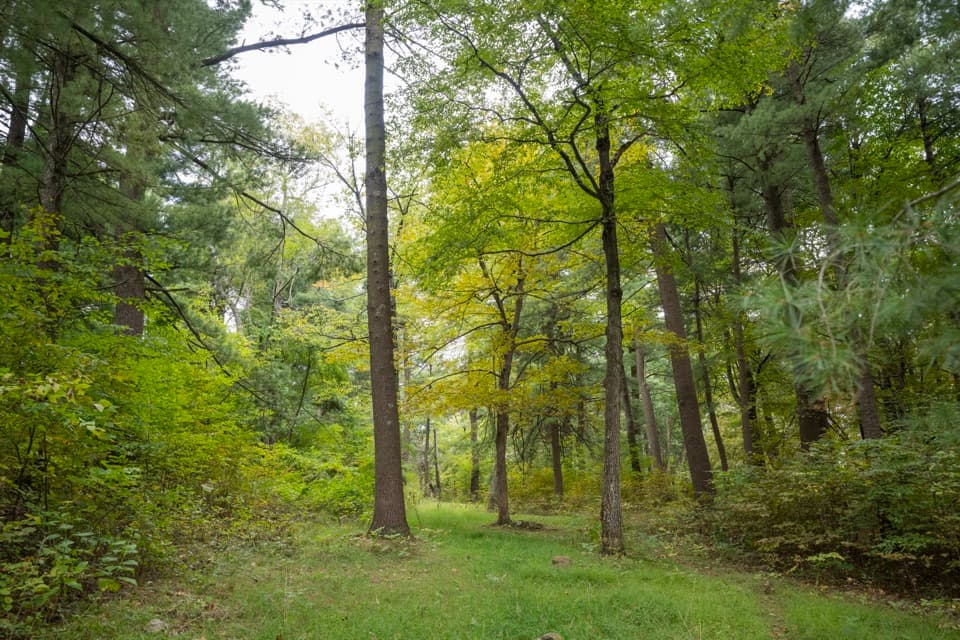 Picnic area · 1.2 mi awayElkwallow Picnic GroundsA wooded picnic loop beats lunch in the car on Skyline Drive.
 Scenic pullout · 1.5 mi awayLittle Devils Stairs OverlookA quick pause for the steep gorge and layered ridges
Parkwolf’s Shenandoah ranking

The audio tour guide for the drive, plus offline maps, trails, and wildlife heatmaps for when the signal drops.





