Place
Easy

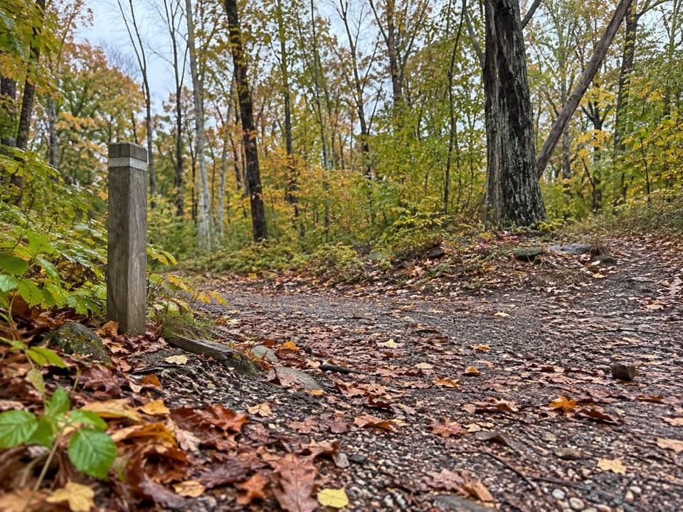
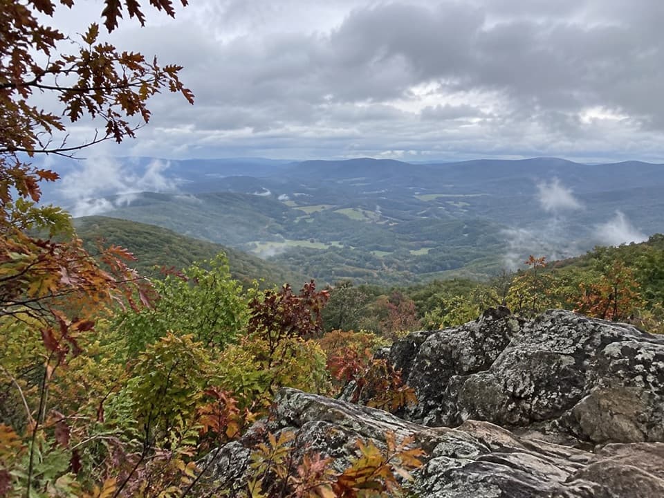
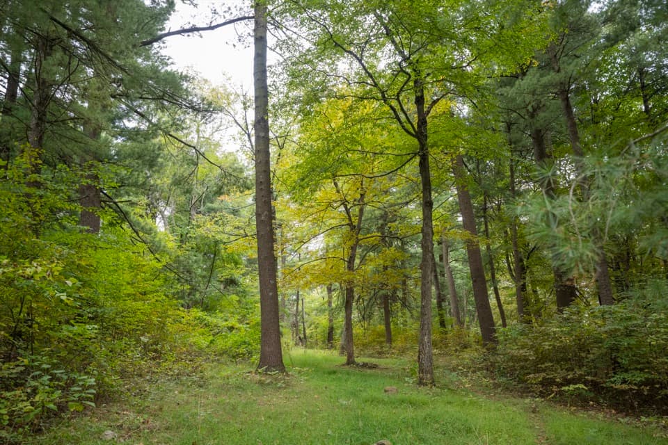
A gentle 1.7-mile loop through mixed hardwood forest, Traces Trail spotlights the subtle remnants of former homesteads—think low stone walls and old road traces—rather than grand overlooks. It’s an easy, low-effort walk with minimal elevation change (about 333 feet total) and typically takes 1–1.25 hours at a relaxed pace. Views are limited to occasional peeks through the trees, so come for the woods and history, not panoramas.
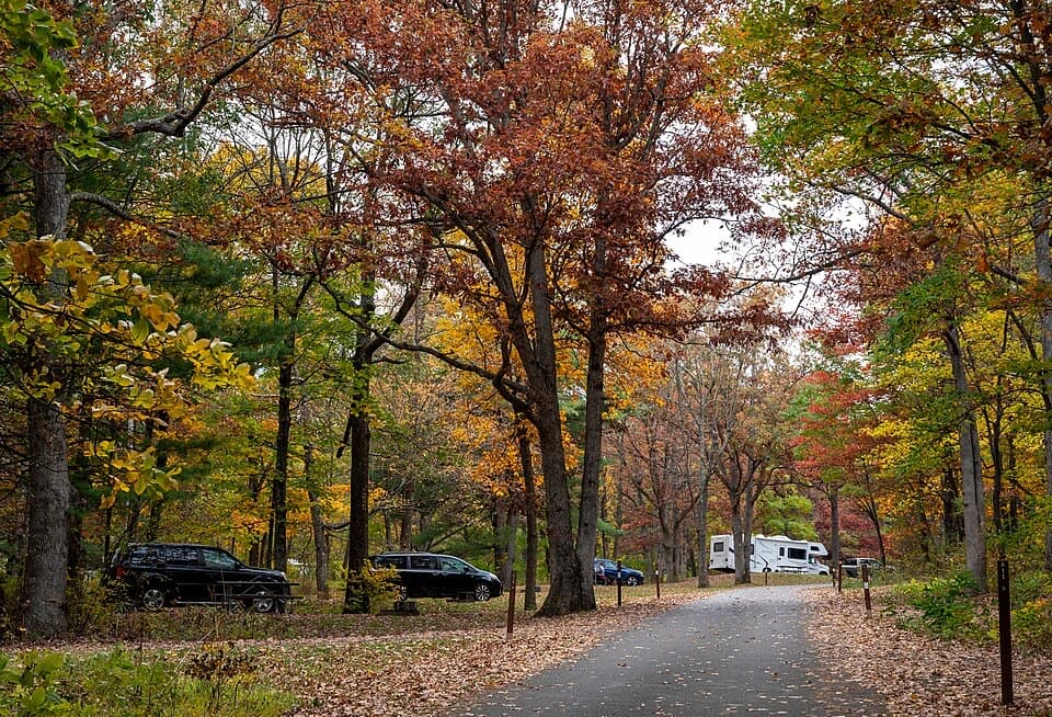
Start from the Mathews Arm Campground registration parking area (mile 22.2 on Skyline Drive). The path is blue-blazed and signed; when in doubt at junctions, keep following “Traces Trail.” The loop skirts the campground and connects with the yellow-blazed Mathews Arm Road if you want to tack on distance. Expect some company—its proximity to the campground makes this a popular family stroll.
This is classic Shenandoah woodland: soft tread, occasional roots and rocks, and a full summer canopy. After heavy rain the trail can get muddy but generally dries quickly. Cell service can be spotty, so bring or download a map. Pets are allowed on a 6-foot leash.
You’ll see the “traces” of past residents in the form of stone walls and other subtle artifacts tucked in the trees. In places you may find low foundations or similar hints of former homes. Interpretive signage may be present, but the experience is more about noticing details than reading panels—slow down and scan the forest edges.
Open year-round. Spring and fall offer the best chance for filtered views before and after full leaf-out; summer is fully shaded and comfortable for a midday stretch from the campground. Weekday mornings are your best bet for a quieter loop; expect more activity during peak camping season.
Park at the Mathews Arm Campground registration parking area (mile 22.2 on Skyline Drive); the loop begins from there.
After rain the trail can be muddy; cell service is unreliable. Expect campground noise and follow blue blazes at junctions to stay on the loop. Pets must be leashed (6 ft).