Parking
Start at the south end of Hogback Overlook parking, milepost 21.1. The Appalachian Trail entrance is on the lot’s south side; the circuit returns to this lot.

Shenandoah National Park, VA
Four hiking days link a 93-foot waterfall and three wilderness streams.
Overview
Map & elevation
Plan your hike

The highest, rockiest slopes around here are a summer buffet for grizzly bears.
Shenandoah Tour Guide
Parkwolf is a GPS audio tour guide for Shenandoah National Park. As you drive, it chimes in with what’s ahead: hidden gems, upcoming stops, history, geology, and wildlife, right through your car’s speakers.
See the Shenandoah audio tourRecorded for this area
Hogback Overlook: A Quick Valley Panorama“Hogback Overlook is coming up, a quick stop for layered ridges and a northward view across the Shenandoah Valley. It's the park's longest overlook, with the view just a few steps from your car.”
Plays on the road 0.1 mi from the trailhead in the Parkwolf Shenandoah Tour Guide.
More stories near here in the app
“Fantastic app with many points of information… It’s great to just turn on while you’re driving and it gives you an audio tour of the national Park. We love it!!!!”


Trail guide
Overall Run, Piney Branch & Jeremys Run is a 34.2–36-mile circuit from Hogback Overlook, planned as four hiking days and three nights. It visits Overall Run Falls, crosses a chain of ridge trails, drops into Piney Branch, crosses Hull School and Neighbor Mountain, follows Jeremys Run upstream, then returns north on the Appalachian Trail. The park rates this itinerary for experienced hikers. Choose it for a demanding, point-to-point-feeling sequence of valleys and ridges that closes at your car, not for a quick waterfall walk. The shorter hikes to Overall Run Falls are different routes. The itinerary’s daily mileage shifts with campsite choices; the stored main-loop line measures about 33.1 miles and does not draw the short cascades side path. Treat 34.2 miles as the route’s low official total, not as an exact odometer reading for every campsite plan. A roughly 24-hour hiking-time estimate is spread over four days; it is not the trip’s elapsed time.
Begin by taking the Appalachian Trail south for 0.4 mile, then turn onto Tuscarora/Overall Run for about 4.6 miles. The first day’s itinerary totals roughly 5.9–6.2 miles, including a short walk after the Tuscarora and Overall trails divide. Overall Run Falls and another waterfall are along this opening stretch; a short cascades spur is worth the detour if conditions and daylight allow.
The second day is the longest variable section, about 9–11.5 miles. Climb the Beecher–Overall Run connector, cross Beecher Ridge, Mathews Arm and Traces, then use the Tuscarora/Overall connector and Appalachian Trail to reach Piney Branch. Follow Piney Branch downhill; where you stop depends on the legal campsite available for your permit. On day three, take Hull School west for 3.5 miles, cross Skyline Drive, and climb the gated grade toward Byrds Nest Shelter. The shelter is for day use only. Continue on Neighbor Mountain Trail for about 5.2 miles, then turn onto Jeremys Run. The fourth day follows Jeremys Run upstream for about 5.4 miles before turning north on the Appalachian Trail for 3.1 miles back to Hogback.
This route repeatedly trades ridge walking for steep descents into stream valleys and climbs back out. It is a long, strenuous backpacking trip; there is no reliable total elevation-gain figure for the complete itinerary. Keep a detailed map with the connector names and check each junction, since much of the circuit follows successive named trails rather than one continuous blaze. Twenty-five elevation samples on the mapped corridor range from about 258 to 1,031 meters; that profile range is not cumulative climbing.
Piney Branch and Jeremys Run have numerous crossings. High water can make them challenging or dangerous, so do not count on crossing safely when streams are up. Overall Run Falls is the signature stop: the park lists it at 93 feet, and the short cascades spur adds another close look at the stream. The falls are a worthwhile photo stop, but they come early in a much longer loop.
This is a dispersed backcountry trip, not an overnight shelter route. Get a backcountry permit and a separate park entrance pass, and choose campsites that are currently legal for your itinerary; the campsite directions on an older route sheet may not reflect current closures. You may stay no more than two consecutive nights at one campsite. Byrds Nest Shelter is day-use only. Campfires are allowed only in park-built fireplaces; plan to cook without a fire if your campsite has none. Allow room in each day to reach a legal site before dark, especially because the second and third day lengths depend on where you camp.
Dogs are allowed on this route, but they must stay on a physical leash no longer than six feet. The repeated climbs, overnight load and stream crossings make this a substantial commitment for both dog and person. Check current park alerts and camping-zone rules before setting out.
Wildlife
 325 sightingsBlack BearMost seen around 6 AMSighting map
 21 sightingsBald EagleMost seen around 10 AMSighting map
 1,036 sightingsWhite-tailed DeerMost seen around 7 PMSighting map
 167 sightingsWild TurkeyMost seen around 7 AMSighting map
 93 sightingsTimber RattlesnakeMost seen around 6 PMSighting map
 24 sightingsCoyoteMost seen around 6 AMSighting map
Sighting maps show where each species has been reported across Shenandoah. Wildlife moves, so no sighting is guaranteed.
Keep exploring
 ChallengingOverall Run Falls and Heiskell Hollow Loop15.6 mi · 13 hr · At the trailheadA three-day backcountry loop linking waterfalls and Heiskell Hollow.ChallengingOverall Run Falls and Piney Branch Loop22.3 mi · 18 hr · At the trailheadThree-day backcountry loop past Overall Run Falls and Piney Branch.
 ChallengingTuscarora Trail through Shenandoah8 mi · 6 hr · At the trailheadAn eight-mile one-way traverse past Overall Run’s gorge and falls.
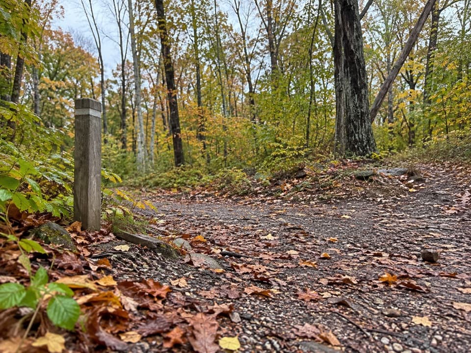 EasyTraces Trail1.7 mi · 1.3 hr · 0.8 mi awayStone walls and a river view on an easy campground loop.ModerateOverall Run Falls5.1 mi · 4 hr · 0.8 mi awayThe gorge view still pays off when the falls run low.
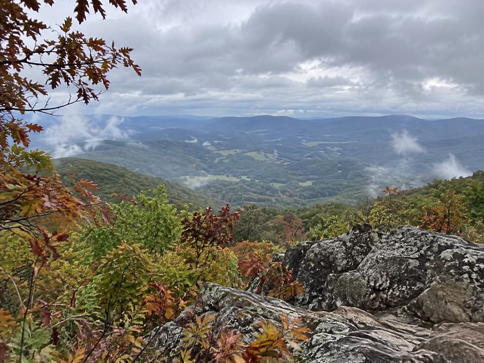 ModerateSugarloaf Loop5 mi · 3.5 hr · 0.9 mi awayA wooded five-mile circuit to a rocky view above Hogback.
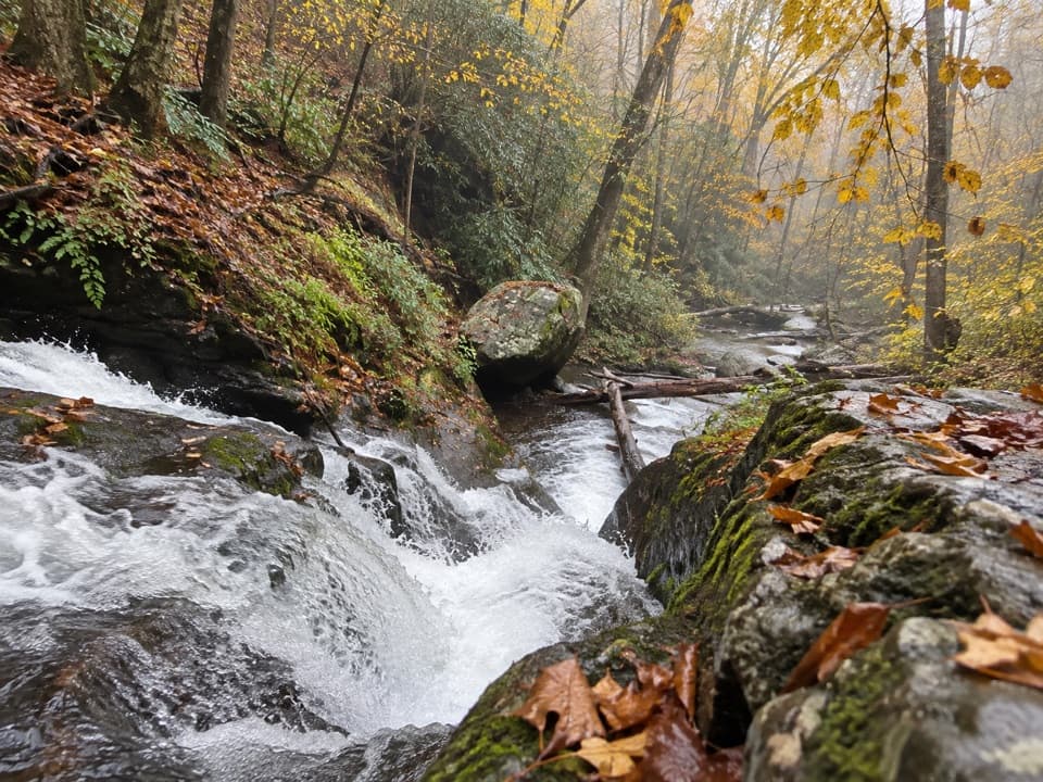 ChallengingPiney Branch and Piney Ridge Loop10 mi · 8 hr · 1 mi awayWalk Piney Branch’s cascades before climbing the wooded Piney Ridge.
 ChallengingHogback Mountain and Thornton River Loop18.4 mi · 21.5 hr · 1.4 mi awayAn 18.4-mile, three-day loop linking Hogback views and Thornton River.
 Sight · 0.1 mi awayHogback OverlookLayered ridges lead north toward the Alleghenies on clear days.
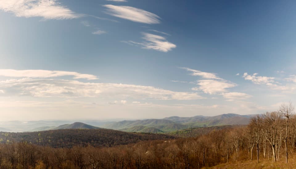 Scenic pullout · 0.7 mi awayRattlesnake Point OverlookPick out six Blue Ridge peaks from a meadow-framed roadside view.
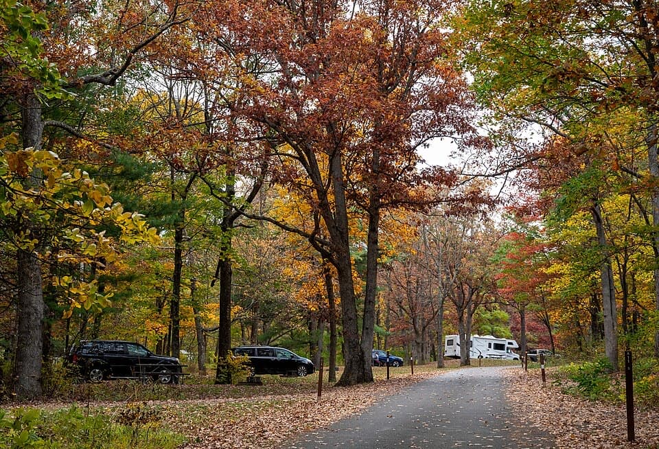 Campground · 0.8 mi awayMathews Arm CampgroundWooded campsites, an easy loop, and no showers or hookups.
 Scenic pullout · 0.9 mi awayLittle Devils Stairs OverlookA quick pause for the steep gorge and layered ridges
 Sight · 1 mi awayPiney River CCC BuildingA modest CCC office tied to Shenandoah’s early park design
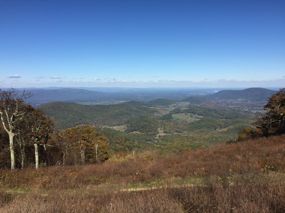 Scenic pullout · 1.1 mi awayLittle Hogback OverlookA small roadside view of Browntown Valley and the Appalachian Trail.
 Lodging · 1.4 mi awayRange View CabinA hike-in cabin with a signed stone from 1933.Sight · 1.6 mi awayOverall Run FallsA long hike earns Shenandoah's highest falls and a wide gorge view.
Parkwolf’s Shenandoah ranking

The audio tour guide for the drive, plus offline maps, trails, and wildlife heatmaps for when the signal drops.





