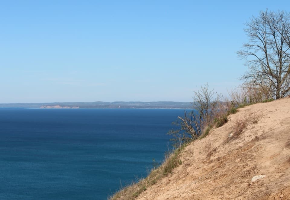
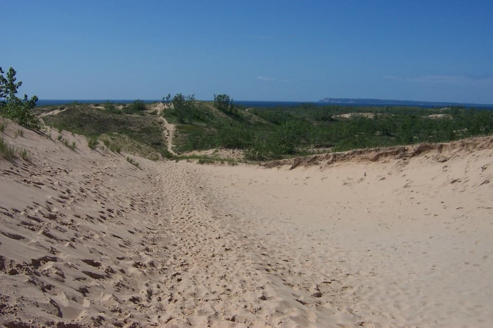
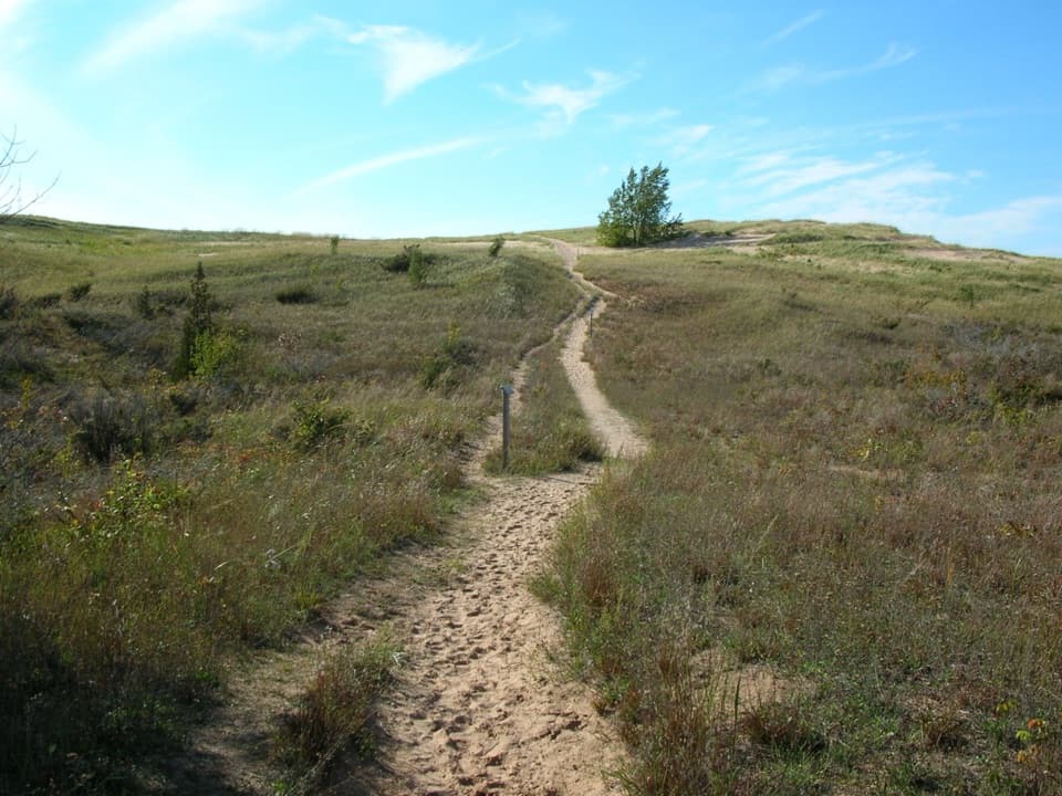
Parking
Small gravel lot at the Kettles Trail trailhead off W Baatz Road (2998–3252 W Baatz Rd, Empire).
Sleeping Bear Dunes National Lakeshore, MI
A quiet walk through rare kettles, ponds and bog.
Overview
Map & elevation
Plan your hike

The highest, rockiest slopes around here are a summer buffet for grizzly bears.
Sleeping Bear Dunes Tour Guide
Parkwolf is a GPS audio tour guide for Sleeping Bear Dunes National Lakeshore. As you drive, it chimes in with what’s ahead: hidden gems, upcoming stops, history, geology, and wildlife, right through your car’s speakers.
See the Sleeping Bear Dunes audio tourRecorded for this trailhead
Kettles Trail: Ponds and a Bog Walk“Up ahead is the Kettles Trail trailhead, for a wooded walk among ponds, a bog and deep hollows left by melting blocks of glacial ice.”
Plays as you drive up to this trailhead in the Parkwolf Sleeping Bear Dunes Tour Guide.
More stories near here in the app
“Fantastic app with many points of information… It’s great to just turn on while you’re driving and it gives you an audio tour of the national Park. We love it!!!!”


Trail guide
Kettles Trail is a 3.0-mile round trip from W Baatz Road, with an out-and-back approach, a small northern loop and two short overlook spurs. It moves from an open-field kettle view into wooded hollows, past ponds and a bog. Choose it for the Lakeshore’s glacial interior instead of another dune climb. Allow about two hours: the opening is easy, while the rest has repeated moderate climbs and dips. The park lists three miles including the bog spur; a detailed walking description comes out closer to 3.4 when it counts more backtracking, so leave extra time if you explore every branch.
The first 1,000 feet cross an open field on compacted crushed stone to a kettle overlook. That opening is universally accessible; the full hike is not. Beyond it, the route drops into woodland. Take the bog spur out and back: it climbs steadily to an old two-track, then descends to Bog Edge Overlook. Return to the junction and continue to the northern loop. The counterclockwise side passes a small kettle pond on an old track, then climbs on a signed footpath around a larger kettle. At the later two-track junction, bear left for the return; right leads toward Lanham Road. You retrace the shared approach to Baatz Road.
Kettles formed when blocks of glacial ice broke away, were buried in sediment and later melted, leaving steep-sided hollows. Some hold ponds; others became wetlands. Bow Lakes contains a cluster of these depressions, so the little pond on the northern loop is part of the trail’s story, not just scenery. The park added this tract to the Lakeshore in 1982, and the trail opened in 2019 after years of planning around its fragile habitat.
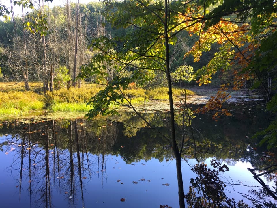
Bog Edge is the payoff for the side trip: a view across a rain-fed, acidic basin where sphagnum moss, Labrador tea, bog cranberry, sundews and pitcher plants can grow. Stay on the trail around this sensitive wetland. For a photograph, use the overhanging trees to frame the still water and its reflections; a tight water-and-leaves view says more than a generic forest shot.
Wildlife
 27 sightingsPiping PloverMost seen around 6 PMSighting map
 70 sightingsBald EagleMost seen around 10 AMSighting map
 56 sightingsWhite-tailed DeerMost seen around 6 AMSighting map
 68 sightingsSandhill CraneMost seen around 7 AMSighting map
 58 sightingsPorcupineMost seen around 8 PMSighting map
 31 sightingsLoonMost seen around 5 PMSighting map
Sighting maps show where each species has been reported across Sleeping Bear Dunes. Wildlife moves, so no sighting is guaranteed.
Keep exploring
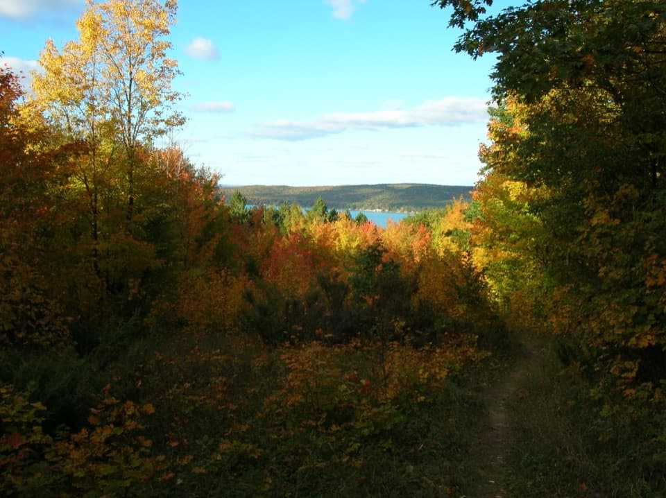 ModerateWindy Moraine Trail1.5 mi · 1 hr · 6.1 mi awayA short hill loop for a Glen Lake glimpse and forest stories.
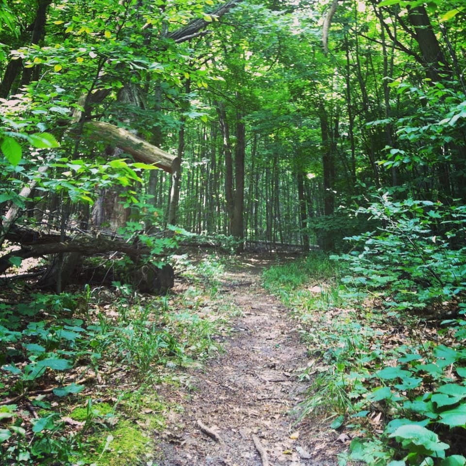 ModerateShauger Hill Trail2.4 mi · 1.3 hr · 6.3 mi awayA shaded woodland loop for wildflowers, without lake views.
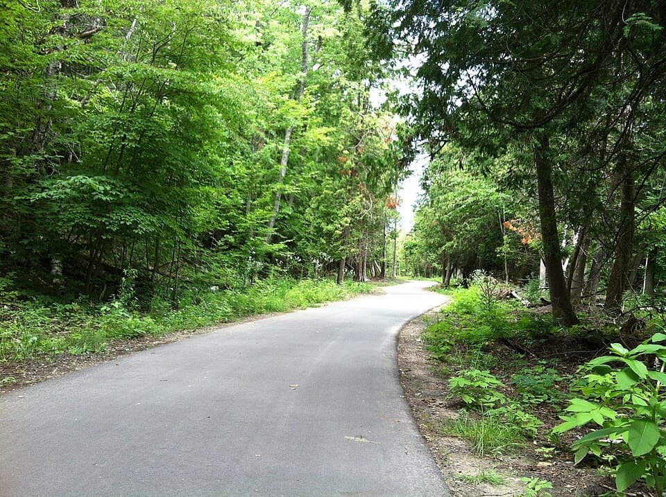 ModerateSleeping Bear Heritage Trail20 mi · 9 hr · 6.6 mi awayA long, varied route through dunes, village streets and farm country.
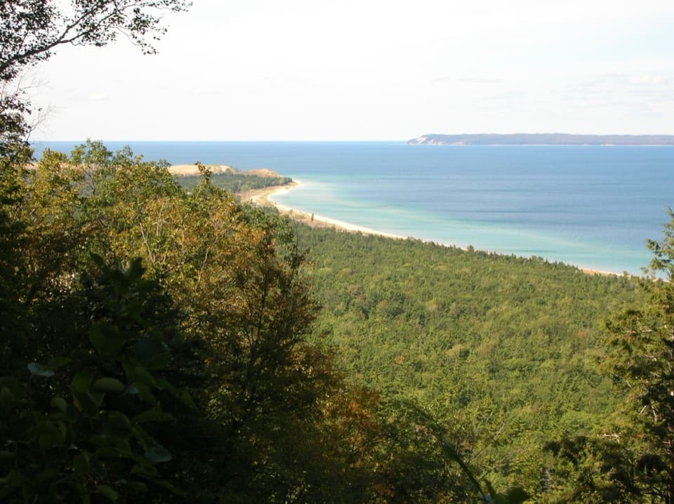 ModerateAlligator Hill Intermediate Loop4.7 mi · 2.5 hr · 6.8 mi awayA hilly forest loop to Islands Lookout and Manitou views.EasyAlligator Hill Easy Loop3 mi · 1.8 hr · 6.8 mi awayA forest climb opens onto Lake Michigan and the islands.ModerateAlligator Hill Advanced Loop4.6 mi · 2.8 hr · 6.8 mi awayFollow the steep southern loop to Islands Lookout above Lake Michigan.
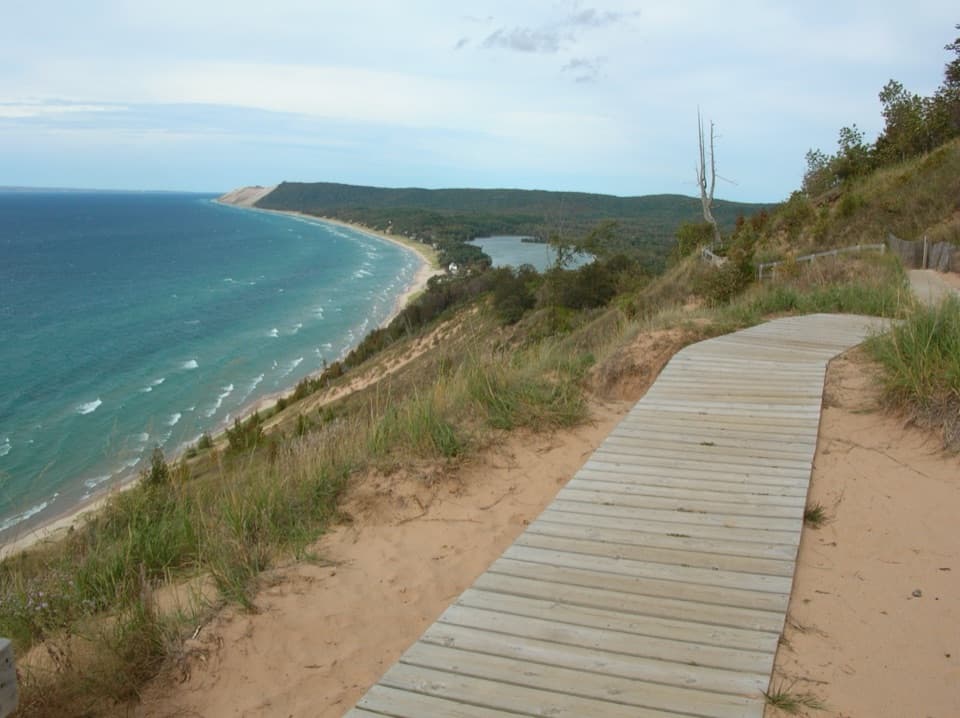 ModerateEmpire Bluff Trail1.5 mi · 1 hr · 7 mi awayA short wooded climb to the Lake Michigan double-dune view.
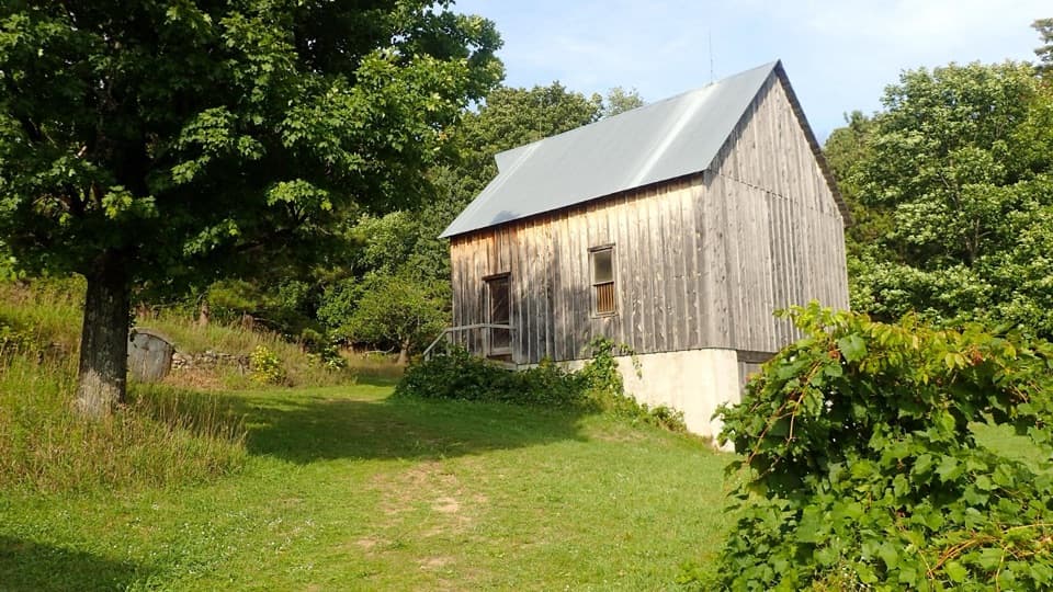 EasyTreat Farm Trail1.2 mi · 1 hr · 7 mi awayA short woods walk reaches a barn rebuilt piece by piece.
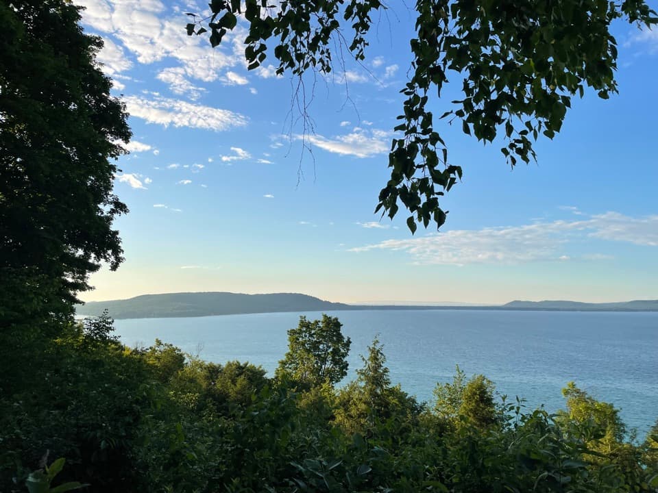 Sight · 3.2 mi awayInspiration Point over Glen LakeA brief roadside view over both Glen Lakes toward North Manitou Island.
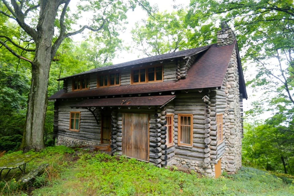 Sight · 3.2 mi awayFaust Log CabinA 1929 cabin with a Glen Lake overlook and a layered story.
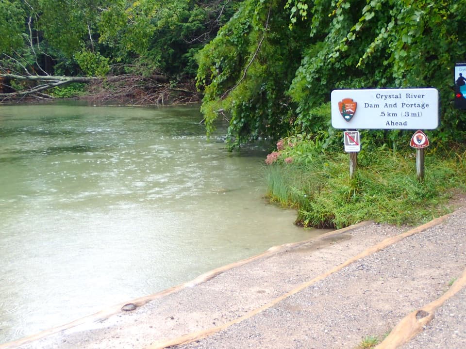 Sight · 5.7 mi awayCrystal River AccessA gentle paddle with an optional three-tube culvert passage.
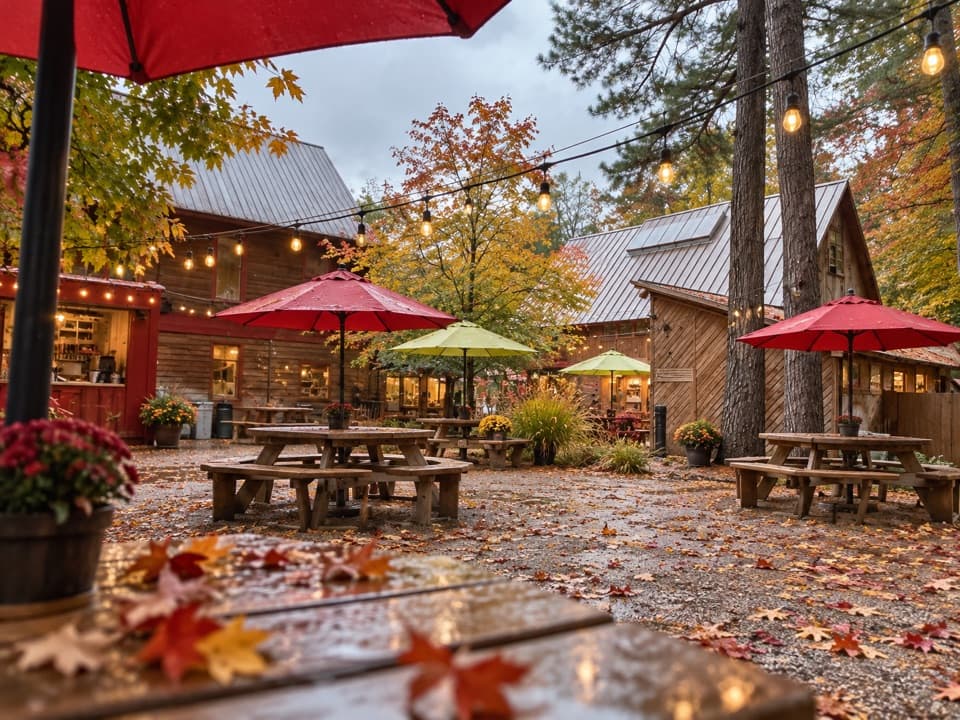 Sight · 6.2 mi awayCherry Republic — Glen ArborSample cherries, shop 200+ products, then wander the garden paths.
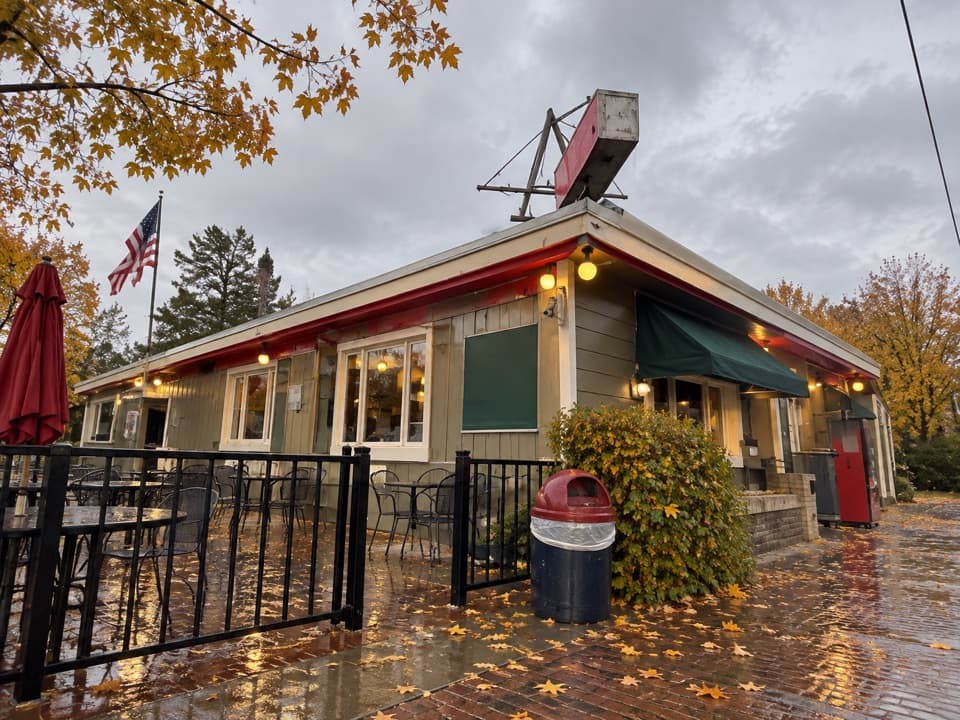 Restaurant · 6.2 mi awayArt’s TavernHouse-ground burgers and tater tots under a ceiling of pennants.
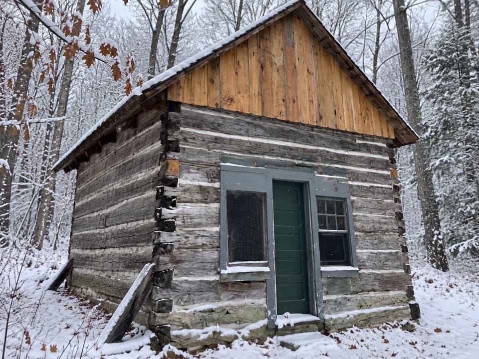 Sight · 6.5 mi awayKraitz CabinA 16-by-20-foot cabin that hosted the area's first Catholic masses.
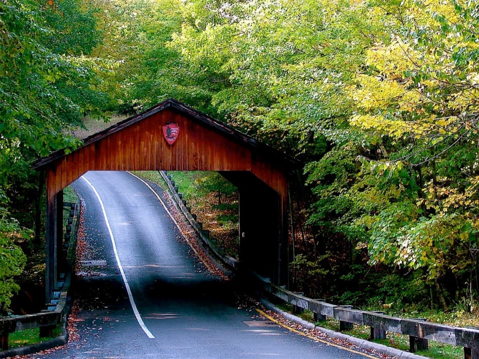 Sight · 6.6 mi awayPierce Stocking Covered BridgeA historic roadside bridge at the scenic drive's first stop.
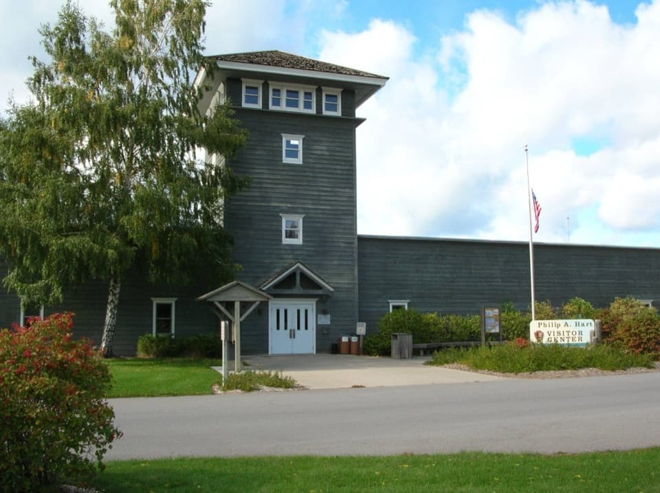 Visitor center · 6.7 mi awayPhilip A. Hart Visitor CenterA smart first stop for maps, ranger advice, and park context.
Parkwolf’s Sleeping Bear Dunes ranking

The audio tour guide for the drive, plus offline maps, trails, and wildlife heatmaps for when the signal drops.