Parking
There is no road access or car parking on North Manitou. Reach the island by boat and continue on foot on the island trail network; this spur starts at an inland footpath junction, and its 1.8-mile round trip excludes the island approach.
Sleeping Bear Dunes National Lakeshore, MI
A wooded, hard-to-find detour toward the island potholes.
Overview
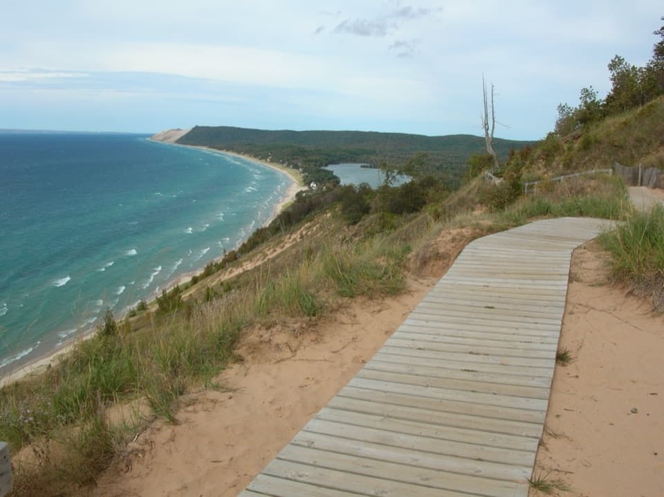
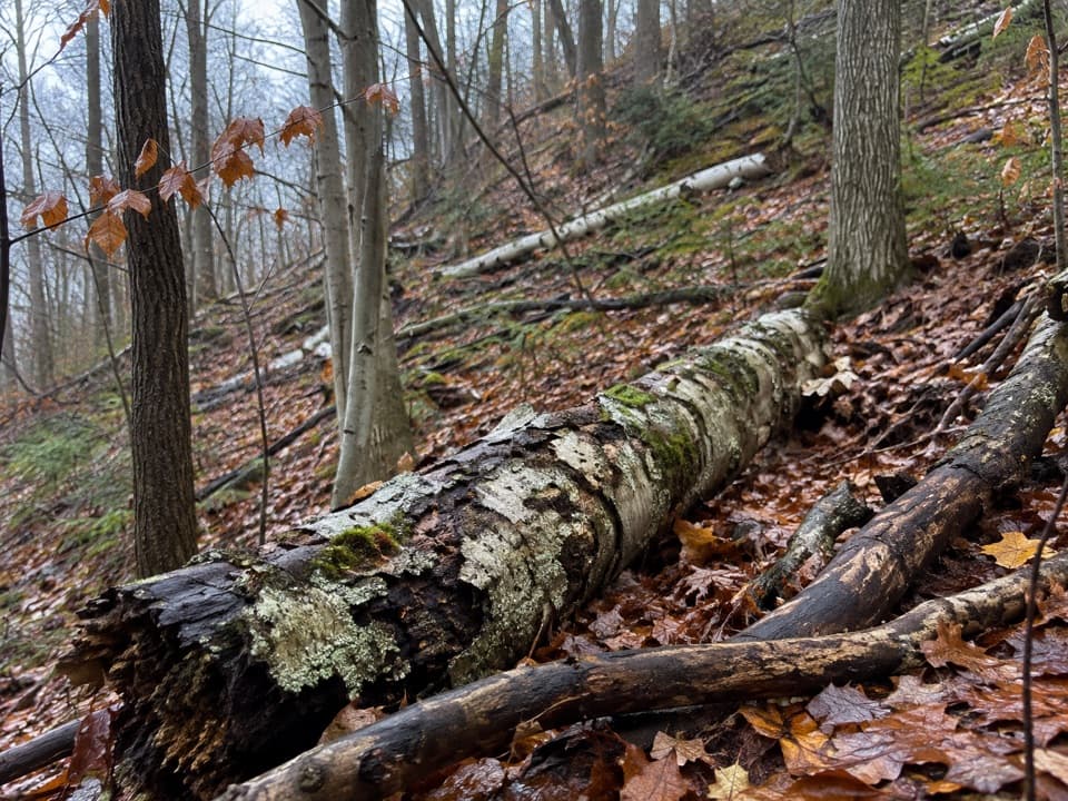
North Manitou Potholes Trail is a short out-and-back footpath in the island’s northwest woods. The mapped segment is about 0.9 mile each way, or 1.8 miles round trip from its inland junction; the walk across the island to reach that junction is separate. It heads toward The Pot Holes, marked on the island map. I’d add it only if you’re already exploring the north end: the approach is the bigger commitment, and the feature can be hard to locate.
 Parkwolf’s verdictIs it worth the detour?
Map & elevation
Plan your hike

The highest, rockiest slopes around here are a summer buffet for grizzly bears.
Sleeping Bear Dunes Tour Guide
Parkwolf is a GPS audio tour guide for Sleeping Bear Dunes National Lakeshore. As you drive, it chimes in with what’s ahead: hidden gems, upcoming stops, history, geology, and wildlife, right through your car’s speakers.
“Fantastic app with many points of information… It’s great to just turn on while you’re driving and it gives you an audio tour of the national Park. We love it!!!!”


Trail guide
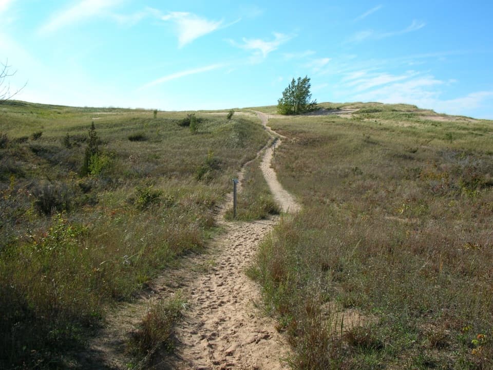
This isn’t a signed loop. The island map marks The Pot Holes but not this spur, and the mapped line is flagged as unverified. Its southern end joins other footpaths, but no reliable source confirms the last approach to the feature. Bring the island map, check the route with the park, and turn back if the tread fades rather than making your own extension. Allow about an hour or more for the spur itself.
North Manitou has no road access or car parking; reach the island by boat, then walk the island trail network to the Potholes junction. The 1.8-mile figure excludes that approach. There are no food services, stores, or medical centers on the island. Potable water is available only at the ranger station; treat other water. Pets and wheeled vehicles aren’t allowed.
Wildlife
 27 sightingsPiping PloverMost seen around 6 PMSighting map
 70 sightingsBald EagleMost seen around 10 AMSighting map
 56 sightingsWhite-tailed DeerMost seen around 6 AMSighting map
 68 sightingsSandhill CraneMost seen around 7 AMSighting map
 58 sightingsPorcupineMost seen around 8 PMSighting map
 31 sightingsLoonMost seen around 5 PMSighting map
Sighting maps show where each species has been reported across Sleeping Bear Dunes. Wildlife moves, so no sighting is guaranteed.
Keep exploring
 EasySwenson’s Barn Trail0.3 mi · 15 min · 2 mi awayA signed spur leads to an intact two-story island barn.
 ModerateNorth Manitou Northern Loop14.2 mi · 8 hr · 3.6 mi awayA three-day island loop through forest, shoreline and historic fields.
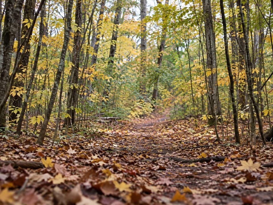 ModerateNorth Manitou Classic Loop16.3 mi · 6 hr · 3.6 mi awayA remote, multi-day circuit through North Manitou Island’s backcountry.
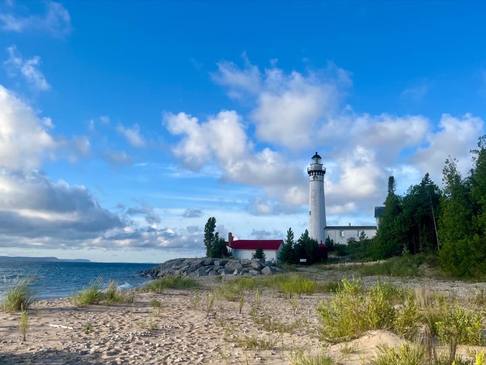 EasySouth Manitou Lighthouse Hike0.6 mi · 30 min · 9.4 mi awayA short village walk to a Lake Michigan lighthouse.
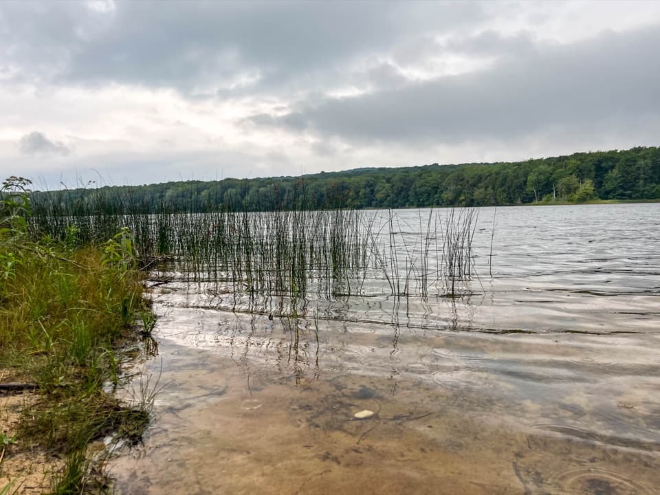 EasyFlorence Lake Trail2.5 mi · 1.5 hr · 9.4 mi awayA short village walk to Florence Lake's sandy shore.
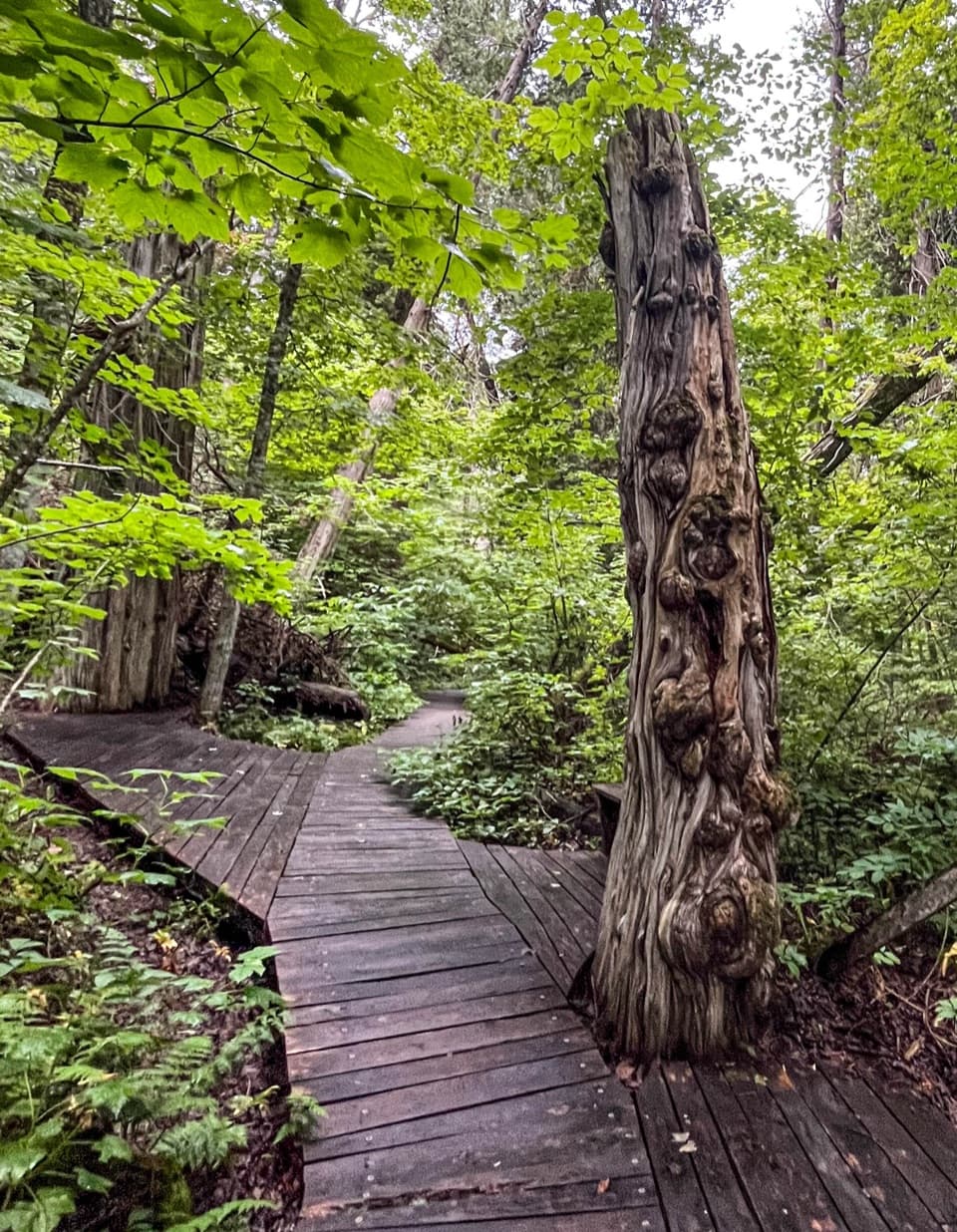 ModerateSouth Manitou Old Growth Cedars Trail6.9 mi · 3.5 hr · 9.4 mi awayA boardwalk through ancient cedars after a full island walk.
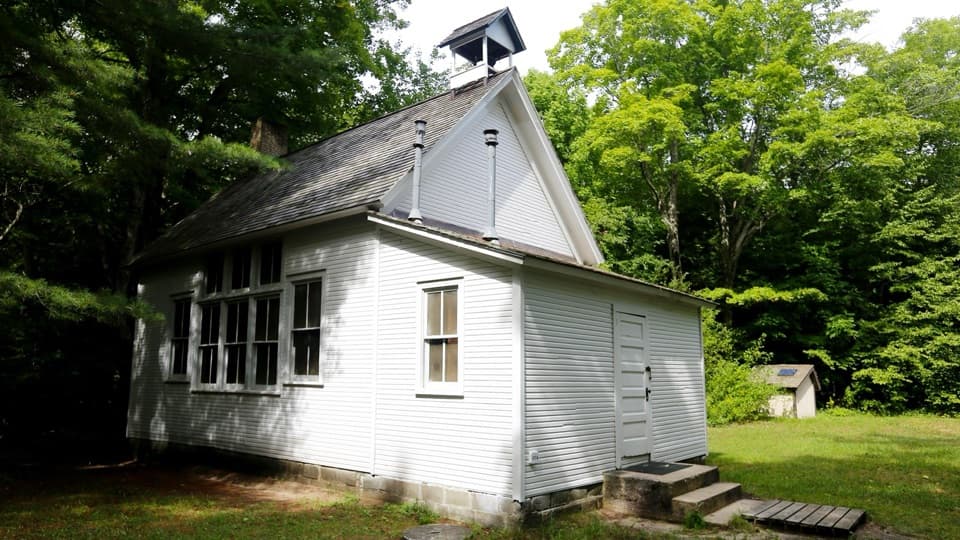 EasySouth Manitou School House Trail3 mi · 1.8 hr · 9.4 mi awayA three-mile island walk to a one-room schoolhouse from 1899.
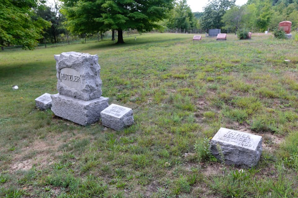 EasySouth Manitou Cemetery Trail4.6 mi · 2.5 hr · 9.4 mi awayAn easy island road walk to the main historic cemetery.
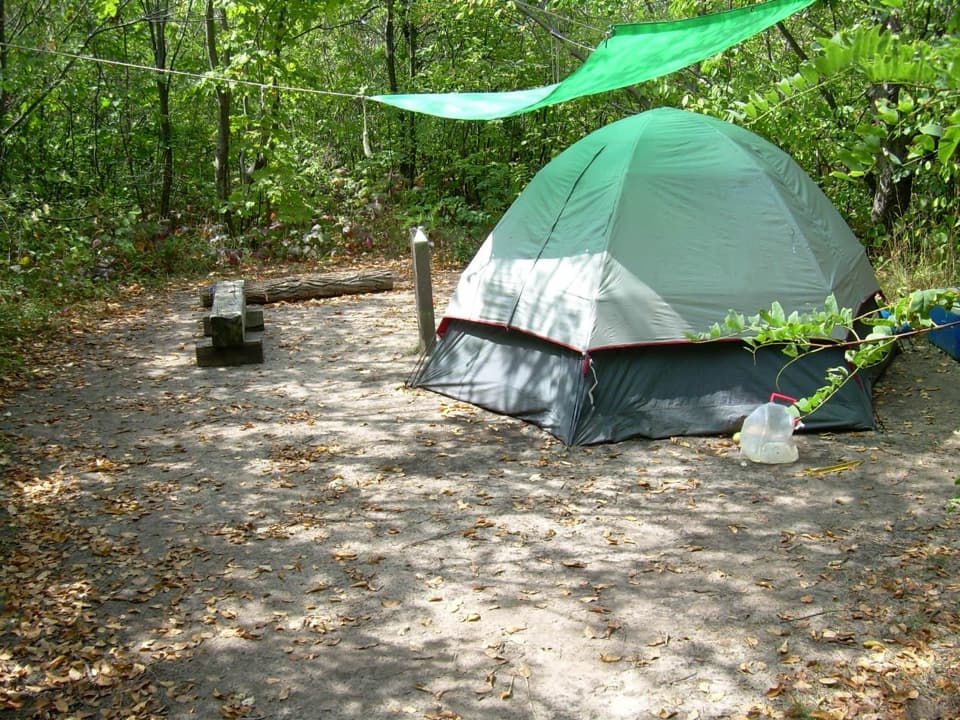 Campground · 3.3 mi awayVillage Campground — North Manitou IslandEight sites give North Manitou hikers a village-side base.
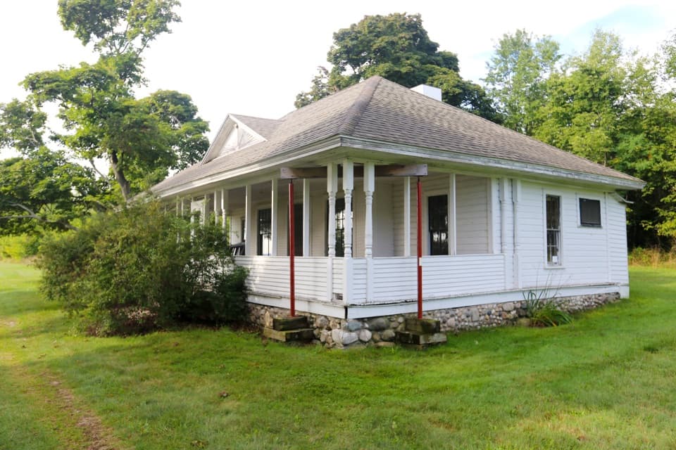 Sight · 3.4 mi awayNorth Manitou Island Cottage RowNorth Manitou's old summer colony, told through its cottages.
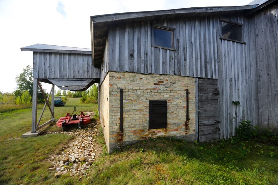 Sight · 3.4 mi awayNorth Manitou Island Shingle MillA rare island mill built around an 1875 steam engine.
 Visitor center · 3.5 mi awayNorth Manitou Island Contact StationA small village contact point on a self-reliant island trip.
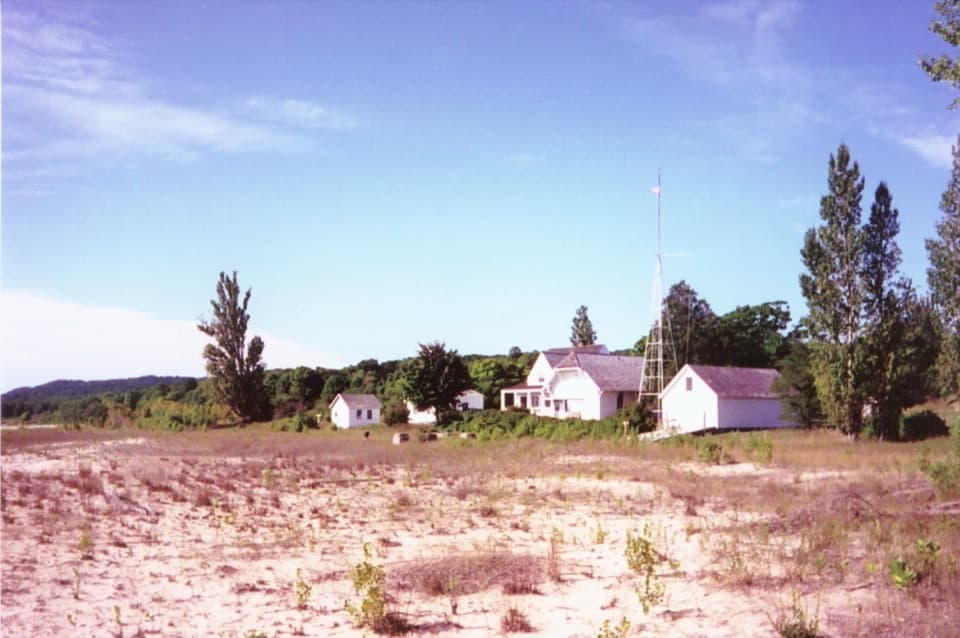 Sight · 3.5 mi awayNorth Manitou Island Life-Saving StationA rare 1854 rescue station anchors this remote island village.
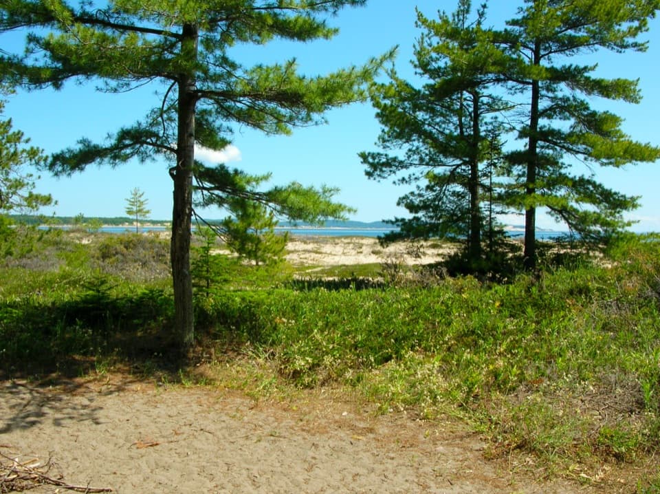 Campground · 7.5 mi awayPopple Campground, South Manitou IslandA seven-site backcountry camp near South Manitou’s northern beach.
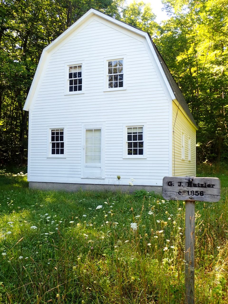 Sight · 8.1 mi awayGeorge Johan Hutzler FarmA South Manitou homestead with a two-story barn built for pigs.
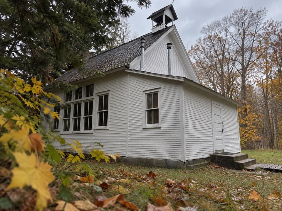 Sight · 8.4 mi awaySouth Manitou Island CemeteryA quiet island walk into the stories behind the gravestones.
Parkwolf’s Sleeping Bear Dunes ranking
The audio tour guide for the drive, plus offline maps, trails, and wildlife heatmaps for when the signal drops.