Parking
There is no drive-up parking on the island. Start at the village dock; passenger ferry service boards at Fishtown Dock in Leland, or arrive by private boat.
Sleeping Bear Dunes National Lakeshore, MI
A remote, multi-day circuit through North Manitou Island’s backcountry.
Overview
The North Manitou Classic Loop is a full 16.3-mile circuit through the island’s outer trail network, starting and ending at the Village Dock. It suits backpackers who want several days in a genuinely remote setting and are ready to carry their food, sleep gear and water treatment. One route estimate puts the walking time at about 5½–6 hours, but the Classic is commonly planned as a two-to-four-night backpacking trip; that moving-time estimate doesn’t include breaks or camping. The island’s terrain is generally gentle, but the distance and self-reliance make this a serious trip.
 Parkwolf’s verdictIs this the hike for you?
Map & elevation
Plan your hike

The highest, rockiest slopes around here are a summer buffet for grizzly bears.
Sleeping Bear Dunes Tour Guide
Parkwolf is a GPS audio tour guide for Sleeping Bear Dunes National Lakeshore. As you drive, it chimes in with what’s ahead: hidden gems, upcoming stops, history, geology, and wildlife, right through your car’s speakers.
“Fantastic app with many points of information… It’s great to just turn on while you’re driving and it gives you an audio tour of the national Park. We love it!!!!”


Trail guide
From the dock, the mapped circuit heads north past Pole Bridge and Davenport Camp, crosses the northwest on the Old Grade, then turns south past Crescent and Johnson Place before rounding the southern and eastern island back to the village. The stored line measures 16.33 miles and matches the 16.3-mile Classic figure; a separate outer-loop listing gives 16.4 miles. The island’s nearly 23 miles refers to its whole maintained trail network, not this circuit.
The park map shows the island’s trail network rather than an official GPX for this named loop. This saved line follows the mapped paths that best match the Classic route and its published distance. Follow signed paths and respect posted closures; the historic and unmaintained tracks can be harder to follow.
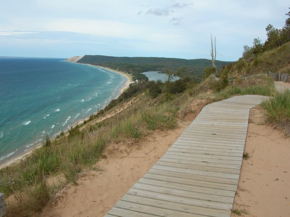
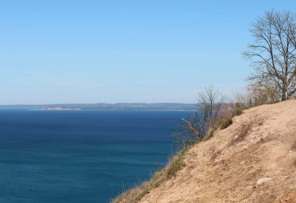
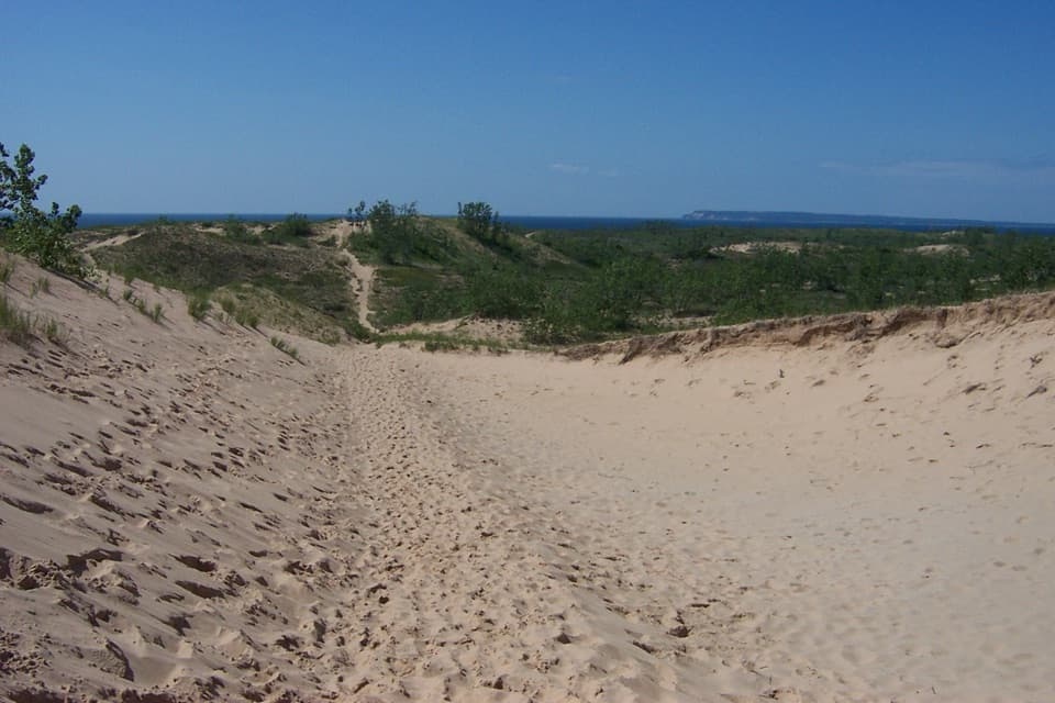
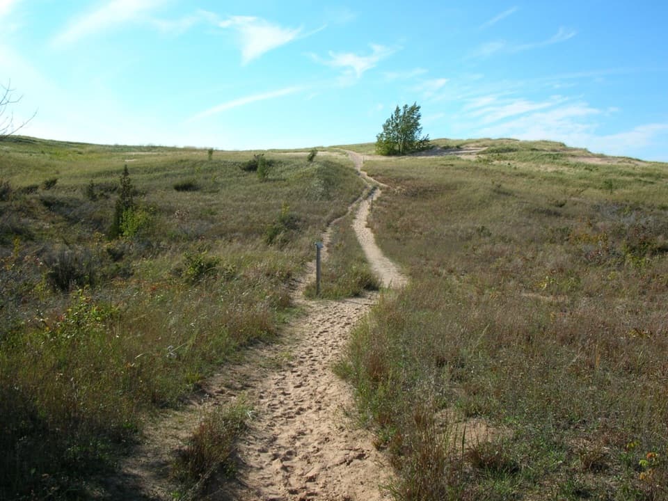
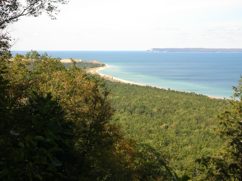
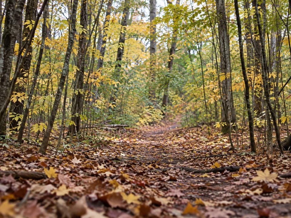
Expect maple and beech woods, old farm fields, long stretches of quiet trail and Lake Michigan views from the bluffs. Most of the walking is gentle, but the northwest Old Grade has the circuit’s main climb: about 1.5 miles rising at roughly 5–6 percent when you walk south to north. The island’s high point is nearly 1,000 feet. On the north end, steep bluffs make some descents to the water difficult; enjoy the shoreline from safe viewpoints rather than treating it as an easy detour.
A backcountry permit and Lakeshore entrance pass are required. The Village Campground has eight first-come sites and one outhouse; dispersed camping is allowed with strict setbacks. Stay at least 300 feet from the Lake Michigan high-water mark, lakes, streams, ponds, springs, buildings and other camps, and never camp on a trail. Open fires are prohibited in the wilderness, so bring a gas or alcohol stove.
There are no food services, stores or medical centers on the island. Potable water is listed only at the ranger station; treat every other source. Pack all meals and don’t count on resupply along the route.
North Manitou’s village grew around shipping, fishing and lumber. The surviving village buildings include lifesaving structures and a 1927 steam sawmill. Farther west, Crescent was established in 1906 around a timber operation; the mill closed in 1915 and the settlement ended. Some village buildings are private residences, and old ruins are fragile, so look without entering.
Mosquitoes, flies and ticks are common in summer and fall. Pets and wheeled vehicles, including bicycles, are prohibited. Follow any posted piping-plover closures along beaches, and plan carefully around the island’s limited water and lack of emergency services.
Wildlife
 27 sightingsPiping PloverMost seen around 6 PMSighting map
 70 sightingsBald EagleMost seen around 10 AMSighting map
 56 sightingsWhite-tailed DeerMost seen around 6 AMSighting map
 68 sightingsSandhill CraneMost seen around 7 AMSighting map
 58 sightingsPorcupineMost seen around 8 PMSighting map
 31 sightingsLoonMost seen around 5 PMSighting map
Sighting maps show where each species has been reported across Sleeping Bear Dunes. Wildlife moves, so no sighting is guaranteed.
Keep exploring
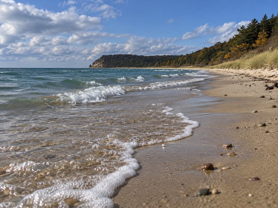 ModerateNorth Manitou Northern Loop14.2 mi · 8 hr · At the trailheadA three-day island loop through forest, shoreline and historic fields.
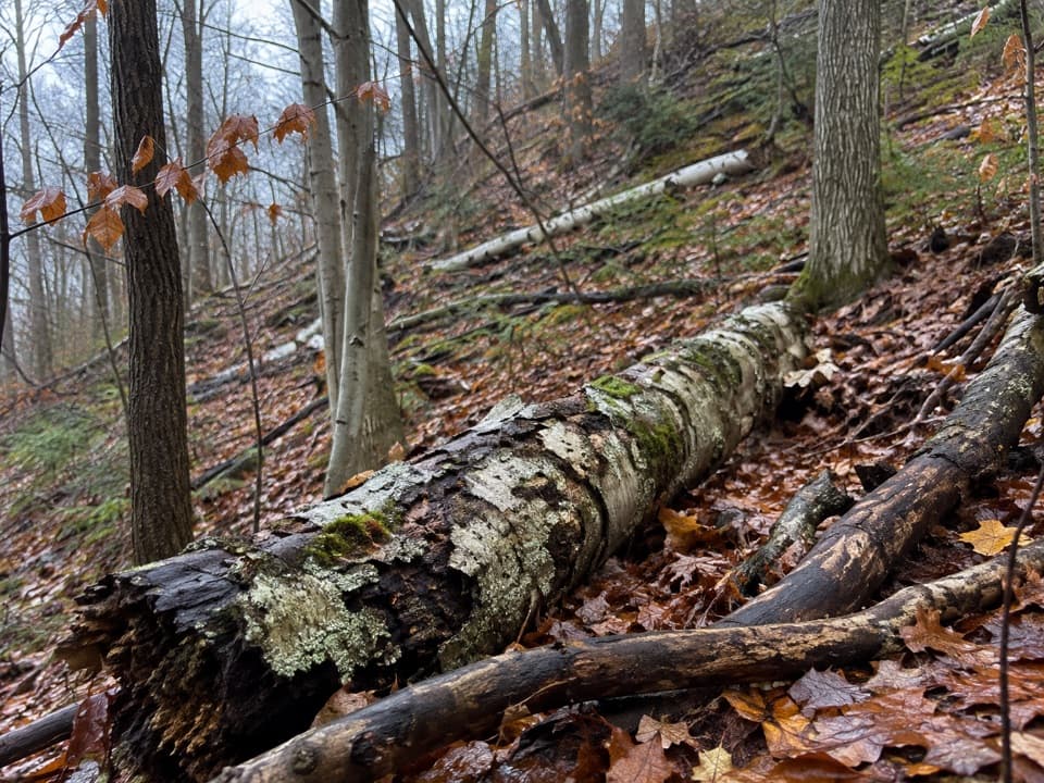 ModerateNorth Manitou Potholes Trail1.8 mi · 1.3 hr · 3.6 mi awayA wooded, hard-to-find detour toward the island potholes.
 EasySwenson’s Barn Trail0.3 mi · 15 min · 3.9 mi awayA signed spur leads to an intact two-story island barn.
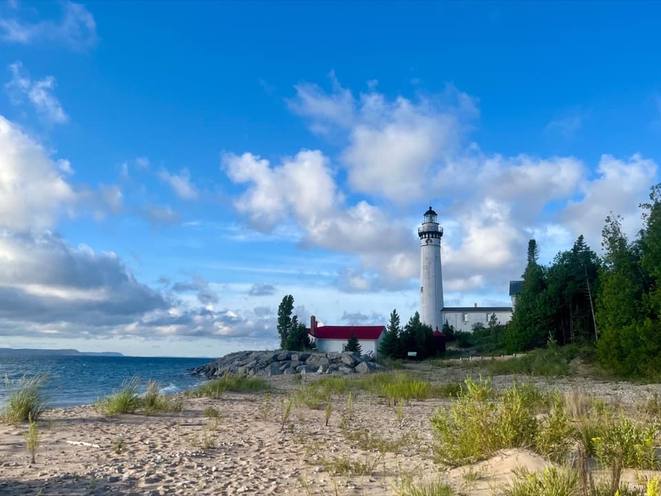 EasySouth Manitou Lighthouse Hike0.6 mi · 30 min · 9.6 mi awayA short village walk to a Lake Michigan lighthouse.
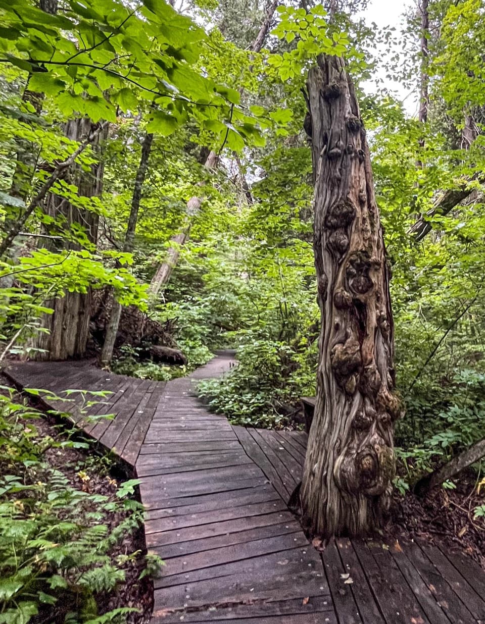 ModerateSouth Manitou Old Growth Cedars Trail6.9 mi · 3.5 hr · 9.6 mi awayA boardwalk through ancient cedars after a full island walk.
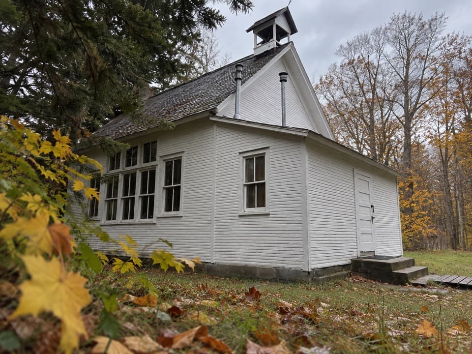
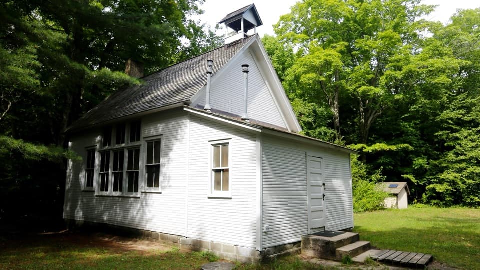 EasySouth Manitou School House Trail3 mi · 1.8 hr · 9.6 mi awayA three-mile island walk to a one-room schoolhouse from 1899.
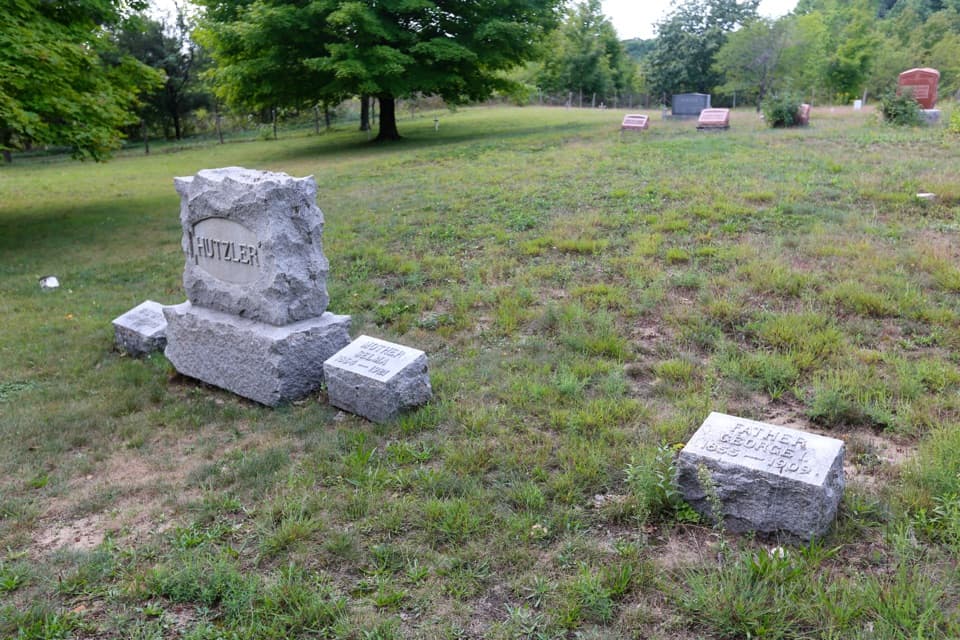 EasySouth Manitou Cemetery Trail4.6 mi · 2.5 hr · 9.6 mi awayAn easy island road walk to the main historic cemetery.
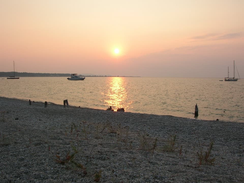 EasyOld Cemetery via Beach2 mi · 1 hr · 9.6 mi awayA short shore walk to South Manitou's old dock and cemetery.
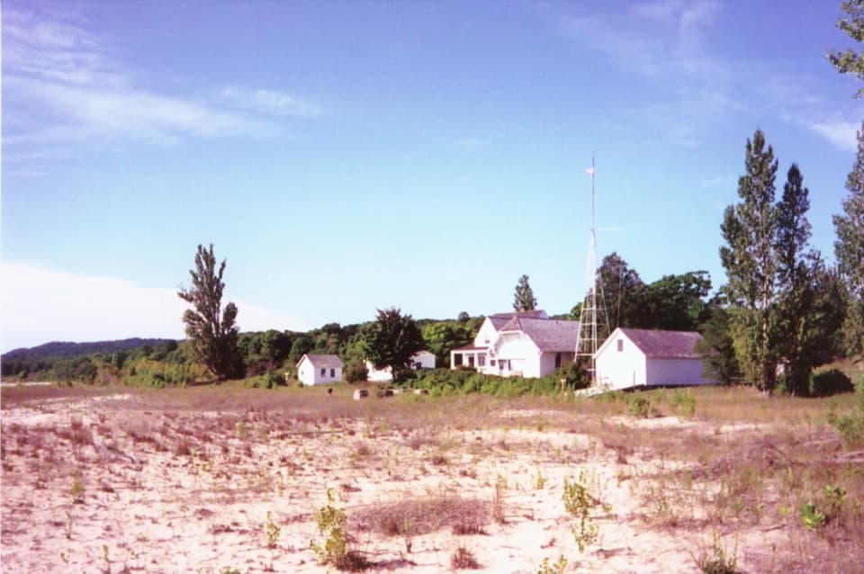 Sight · 0.2 mi awayNorth Manitou Island Life-Saving StationA rare 1854 rescue station anchors this remote island village.
 Visitor center · 0.2 mi awayNorth Manitou Island Contact StationA small village contact point on a self-reliant island trip.
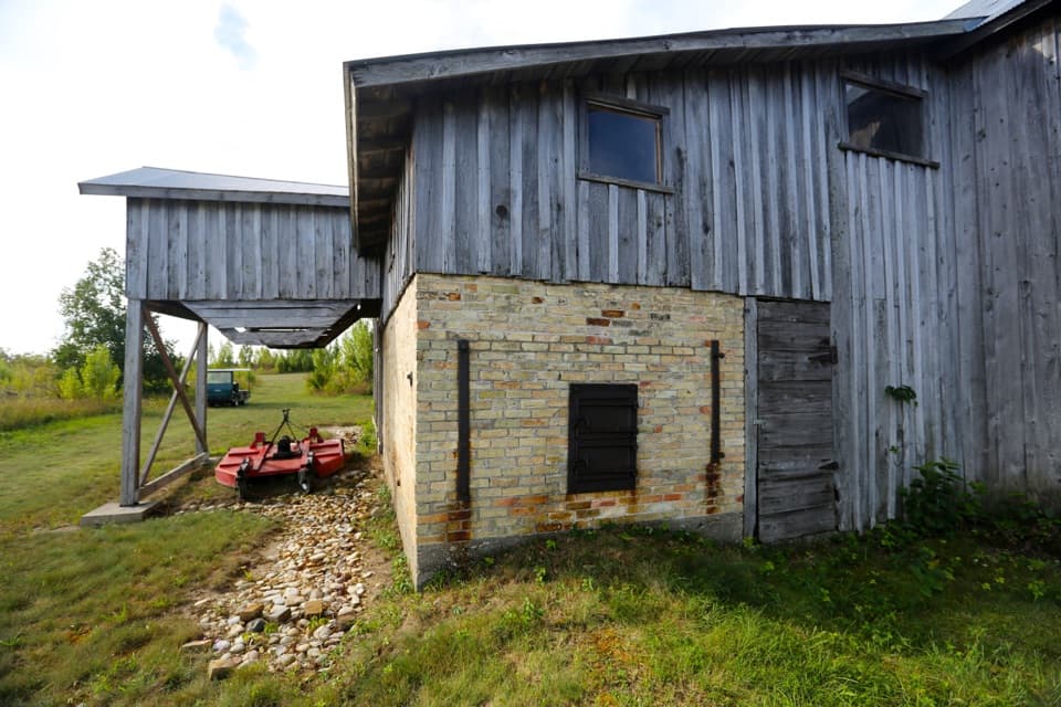 Sight · 0.3 mi awayNorth Manitou Island Shingle MillA rare island mill built around an 1875 steam engine.
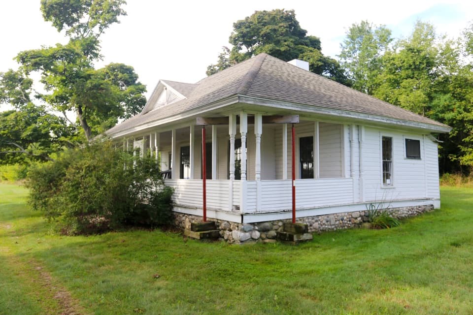 Sight · 0.3 mi awayNorth Manitou Island Cottage RowNorth Manitou's old summer colony, told through its cottages.
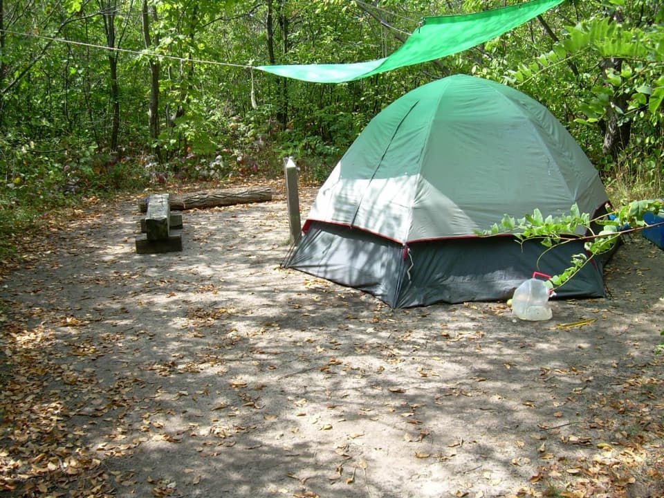 Campground · 0.5 mi awayVillage Campground — North Manitou IslandEight sites give North Manitou hikers a village-side base.
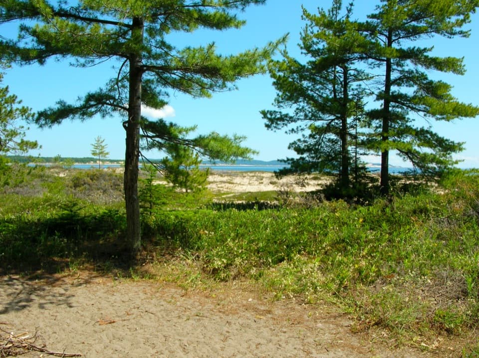 Campground · 8.7 mi awayPopple Campground, South Manitou IslandA seven-site backcountry camp near South Manitou’s northern beach.
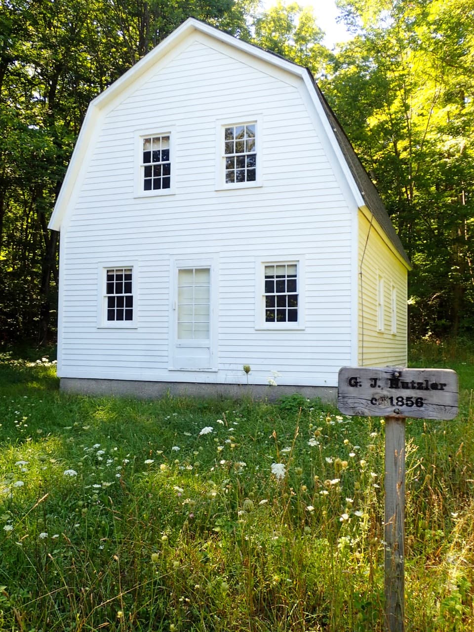 Sight · 9 mi awayGeorge Johan Hutzler FarmA South Manitou homestead with a two-story barn built for pigs.
 Sight · 9.3 mi awaySouth Manitou Island CemeteryA quiet island walk into the stories behind the gravestones.
Parkwolf’s Sleeping Bear Dunes ranking
The audio tour guide for the drive, plus offline maps, trails, and wildlife heatmaps for when the signal drops.