Parking
Park roadside at the locked gate by Tweddle Farm, near the northwest corner where Norconk Road turns south. Enter on foot; the gate is for vehicles.
#8 of 34 trails in Sleeping Bear Dunes
Sleeping Bear Dunes National Lakeshore, MI
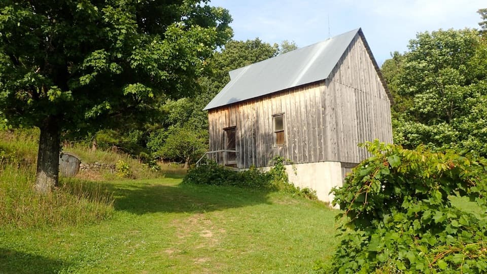
A short woods walk reaches a barn rebuilt piece by piece.
Overview
Map & elevation
Plan your hike

The highest, rockiest slopes around here are a summer buffet for grizzly bears.
Sleeping Bear Dunes Tour Guide
Parkwolf is a GPS audio tour guide for Sleeping Bear Dunes National Lakeshore. As you drive, it chimes in with what’s ahead: hidden gems, upcoming stops, history, geology, and wildlife, right through your car’s speakers.
See the Sleeping Bear Dunes audio tourRecorded for this trailhead
Treat Farm: A Barn Moved Piece by Piece“You're nearing the access to Treat Farm, a walk-in stop from the gate on Norconk Road. Allow about an hour for the one-point-two-mile round trip and a look around, with a climb through the woods.”
Plays as you drive up to this trailhead in the Parkwolf Sleeping Bear Dunes Tour Guide.
More stories near here in the app
“Fantastic app with many points of information… It’s great to just turn on while you’re driving and it gives you an audio tour of the national Park. We love it!!!!”


Trail guide
Treat Farm Trail is a 1.2-mile out-and-back from the Norconk Road gate to Charles and Martha Treat’s historic farmstead. Follow the broad old road about 0.6 mile each way through the woods, then leave time to look around the buildings; an hour is a reasonable visit. It is an easy history walk with one noticeable incline. Turn around at the farmstead: the National Park Service warns that the shoreline bluff just west is unstable and prone to landslides.
The route follows a wide former road through maple-beech woods. The walking is straightforward for most of the way, with one longer climb that can feel steeper than the short mileage suggests. Spring is a good time for the wildflowers the park calls out here, and the woods take on fall color later in the year. Some visitors report poison ivy along the route, so stay on the clear path through the vegetation.
Charles and Martha Treat bought 220 acres, including buildings already built by the Tweddle family, in 1912. The barn has a story of its own: Charles bought it near Detroit, had every piece numbered before taking it apart, then shipped and rebuilt it on a concrete foundation at the farm. The park restored the barn in 2004. Its steep roof and tall, planked walls make it easy to spot when the woods open.
Charles Treat was a farmer and an engineer. Alongside the timber barn and farmhouse are a root cellar built into a hill and a round garage made from reinforced concrete. He poured the garage walls a bucket of concrete at a time, then reinforced its thin roof with a hand-set spiral of steel bar. The barn and circular garage together are the most distinctive farmyard view.
The short public walk ends at the farm buildings. Do not continue west beyond them toward the shoreline bluff; the park warns that this slope is unstable. The mapped route stops at the farmstead for that reason, even though some descriptions continue to a bluff-side viewpoint. There are no visitor facilities at the farm, so plan your stop around the buildings and the woods walk itself.
Wildlife
 27 sightingsPiping PloverMost seen around 6 PMSighting map
 70 sightingsBald EagleMost seen around 10 AMSighting map
 56 sightingsWhite-tailed DeerMost seen around 6 AMSighting map
 68 sightingsSandhill CraneMost seen around 7 AMSighting map
 58 sightingsPorcupineMost seen around 8 PMSighting map
 31 sightingsLoonMost seen around 5 PMSighting map
Sighting maps show where each species has been reported across Sleeping Bear Dunes. Wildlife moves, so no sighting is guaranteed.
Keep exploring
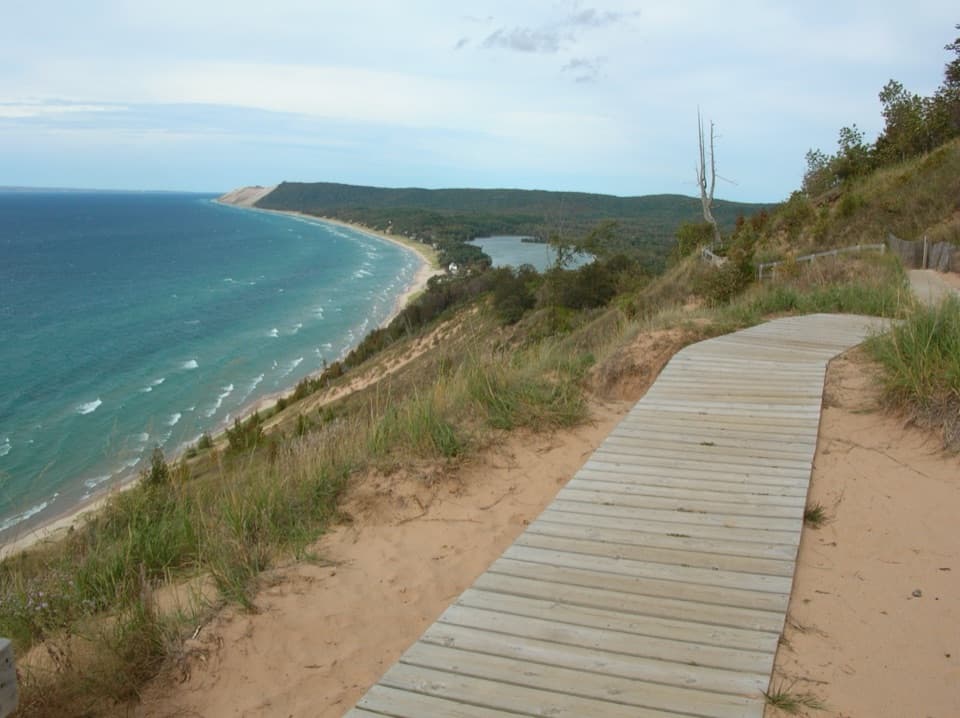 ModerateEmpire Bluff Trail1.5 mi · 1 hr · 0.5 mi awayA short wooded climb to the Lake Michigan double-dune view.
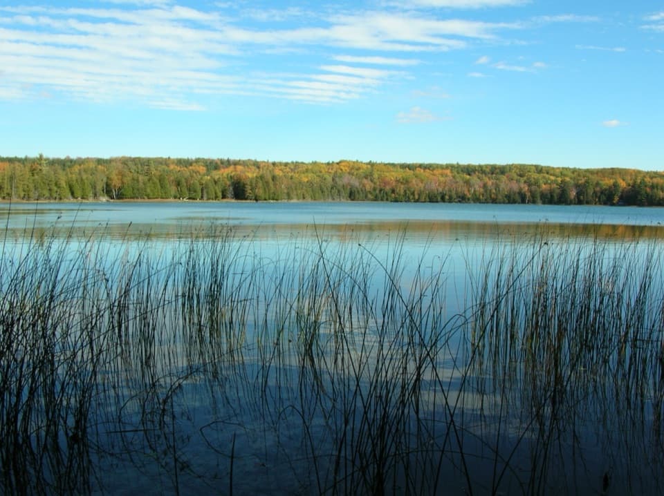 EasyOtter Creek Loop4.6 mi · 2.3 hr · 2.3 mi awayA flat forest loop meets Otter Creek and old Aral's dock pilings.
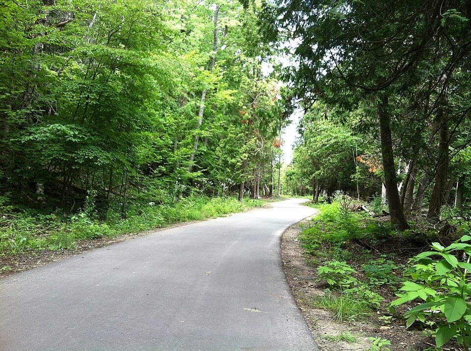 ModerateSleeping Bear Heritage Trail20 mi · 9 hr · 2.6 mi awayA long, varied route through dunes, village streets and farm country.
 EasyBass Lake Loop3.5 mi · 2 hr · 3.9 mi awayAn easy 3.5-mile circuit through forest, lake, and wetland
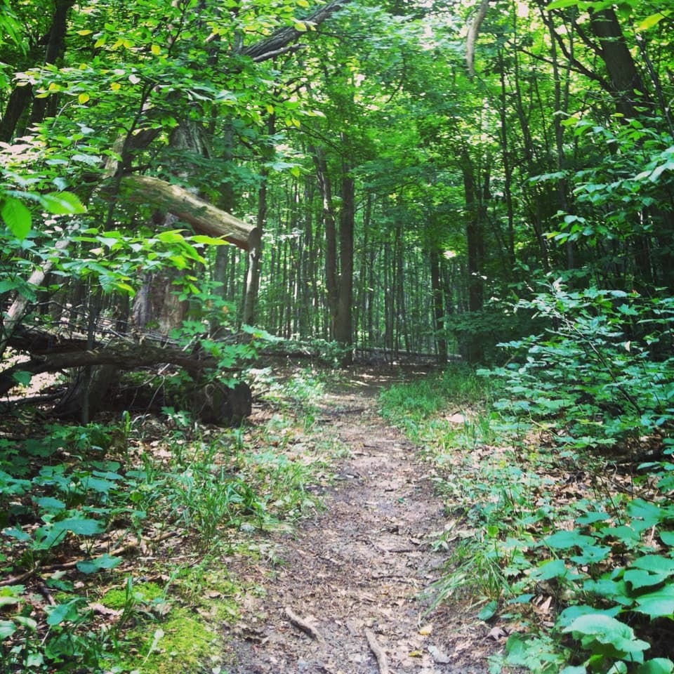 ModerateShauger Hill Trail2.4 mi · 1.3 hr · 4.3 mi awayA shaded woodland loop for wildflowers, without lake views.
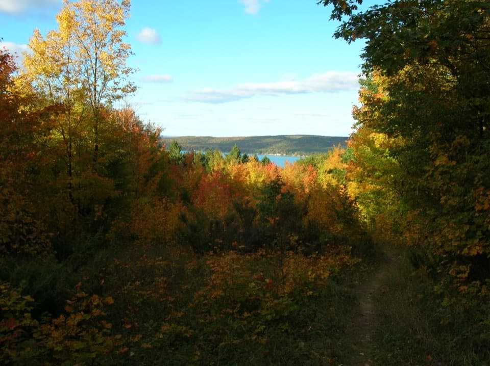 ModerateWindy Moraine Trail1.5 mi · 1 hr · 4.4 mi awayA short hill loop for a Glen Lake glimpse and forest stories.
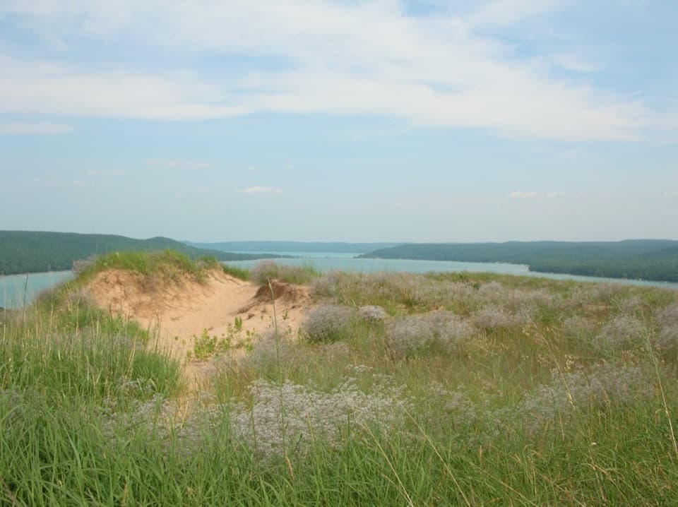 ModerateCottonwood Trail1.5 mi · 1 hr · 5.6 mi awayA marked dune loop reaches a bench above Glen Lake.
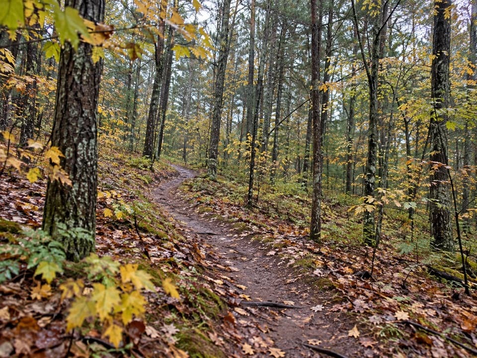 ModerateLasso Loop Trail7.6 mi · 4 hr · 5.8 mi awaySoft sand, old dune ridges and a bay view toward the islands.Sight · 0.6 mi awayCharles & Martha Treat FarmA half-mile walk to a farmstead full of ingenious buildings.
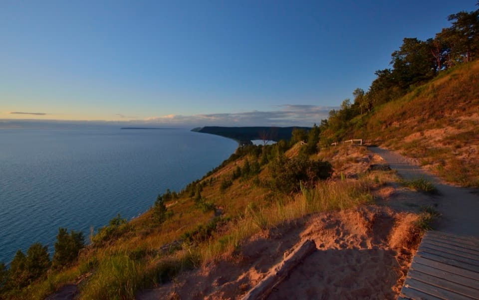 Sight · 0.9 mi awayEmpire Bluff OverlookA boardwalk panorama worth the hilly 1.5-mile walk.
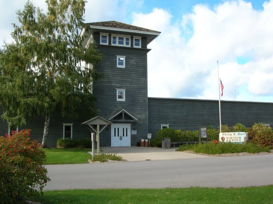 Visitor center · 1.3 mi awayPhilip A. Hart Visitor CenterA smart first stop for maps, ranger advice, and park context.
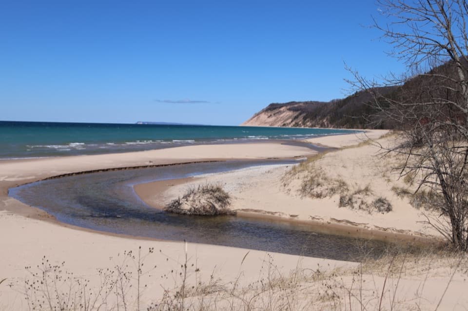 Beach · 2.2 mi awayEsch BeachA sun-warmed creek meets Lake Michigan at this beach.
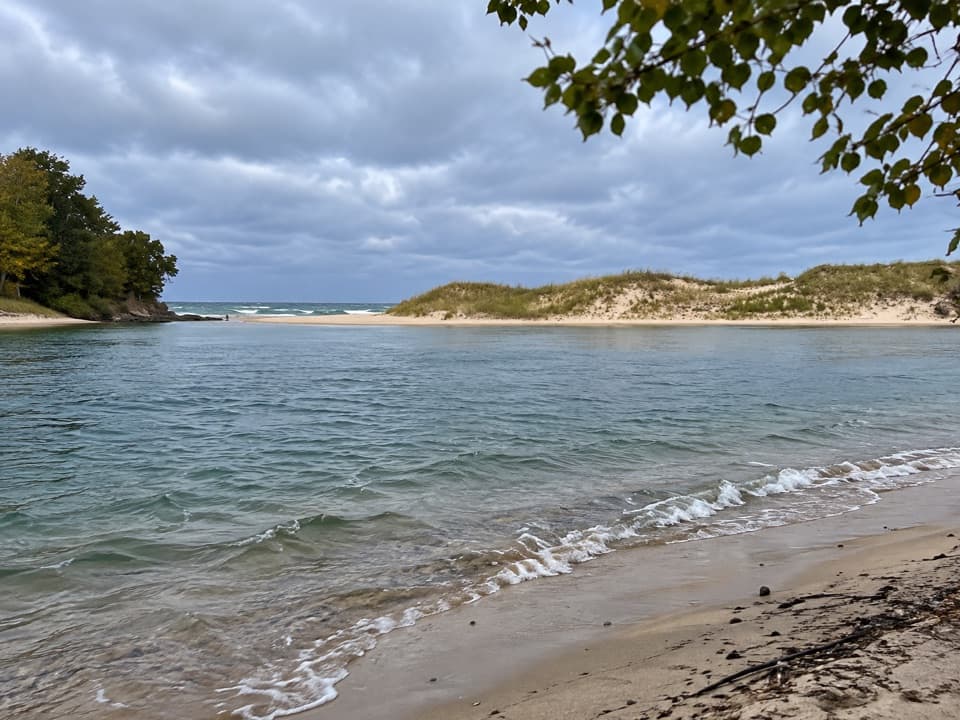 Beach · 3.6 mi awayNorth Bar BeachTwo very different swims sit a short walk apart.
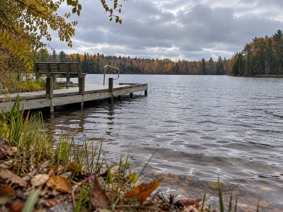 Sight · 3.9 mi awayBass Lake (South) AccessA quiet dock for paddling, bluegill, and an easy woodland loop.
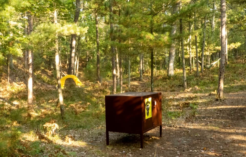 Campground · 4 mi awayWhite Pine Backcountry CampgroundCarry your tent two miles to a six-site woods camp.
 Sight · 4.2 mi awayNorth Bar Lake Overlook and Picnic AreaSmall lake, sandy bar, and Lake Michigan in one wide view.
Parkwolf’s Sleeping Bear Dunes ranking

The audio tour guide for the drive, plus offline maps, trails, and wildlife heatmaps for when the signal drops.