Parking
No road access or parking at Refugio Grey. A booked approach can use the Pudeto–Paine Grande catamaran, then the 11 km trail to Grey; confirm your overnight stay or other authorized access plan.

Torres del Paine National Park, MA
Two high bridges mark a backcountry walk toward Grey Glacier.
Overview
Map & elevation
Plan your hike

The highest, rockiest slopes around here are a summer buffet for grizzly bears.
Torres del Paine Tour Guide
Parkwolf is a GPS audio tour guide for Torres del Paine National Park. As you drive, it chimes in with what’s ahead: hidden gems, upcoming stops, history, geology, and wildlife, right through your car’s speakers.
See the Torres del Paine audio tour“Fantastic app with many points of information… It’s great to just turn on while you’re driving and it gives you an audio tour of the national Park. We love it!!!!”


Trail guide
Grey Glacier Suspension Bridges Trail is a 4 km (2.5 mi) out-and-back from Refugio Grey to the Puentes Los Guardas bridge group. Follow the marked mountain path north into the glacier valley, cross the hanging bridges, then return the same way. Allow three to four hours; this is a half-day add-on from the refuge, not a quick roadside stop.
The path continues north into the Grey–Paso section of the O circuit. A current overnight itinerary describes this as a return walk from Refugio Grey, but it doesn’t establish the general public’s day-walk access or the ranger-approved turnaround. Ask at the Grey ranger station where you may go before setting out, and don’t turn this short outing into a through-hike toward Paso John Gardner.
The route climbs from the refuge along an unpaved mountain path. One hiking account estimates about 40 minutes uphill to the first bridge. Farther north, the suspension crossings span deep ravines; the park map warns that two bridges on the Grey–Paso trail are more than 20 m high. If heights or swaying bridges make you uncomfortable, turn back at the permitted point.
From the bridge area, you look across Grey Lake toward Grey Glacier and down into ravines cut by streams and waterfalls from Cordón Olguín. Ice can break from the glacier into the lake, though there’s no way to predict when.
There’s no road parking at the refuge. One booked approach is the catamaran from Pudeto to Paine Grande, followed by an 11 km hike to Grey; arrange the refuge stay or another authorized access plan before building the bridge walk into your day. Meals are part of some overnight itineraries, but no food or water point was verified on the bridge spur. Park rules prohibit pets and walking after dark.
Wildlife
 113 sightingsPumaMost seen around 7 PMSighting map
 146 sightingsAndean CondorMost seen around noonSighting map
 381 sightingsGuanacoMost seen around 7 AMSighting map
 53 sightingsHuemulMost seen around 7 AMSighting map
 36 sightingsLesser RheaMost seen around 6 PMSighting map
 11 sightingsWild HorseMost seen around 7 AMSighting map
Sighting maps show where each species has been reported across Torres del Paine. Wildlife moves, so no sighting is guaranteed.
Keep exploring
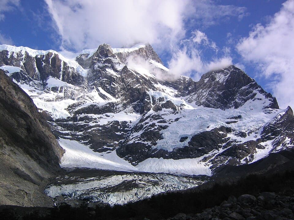 ChallengingValle del Francés20 km · 8.5 hr · 9 km awayLago Skottsberg gives way to a steep climb beneath the French Glacier.
 EasyMirador Lago Skottsberg5 km · 1.5 hr · 9.1 km awayA short lake walk ends with the granite towers of Los Cuernos.
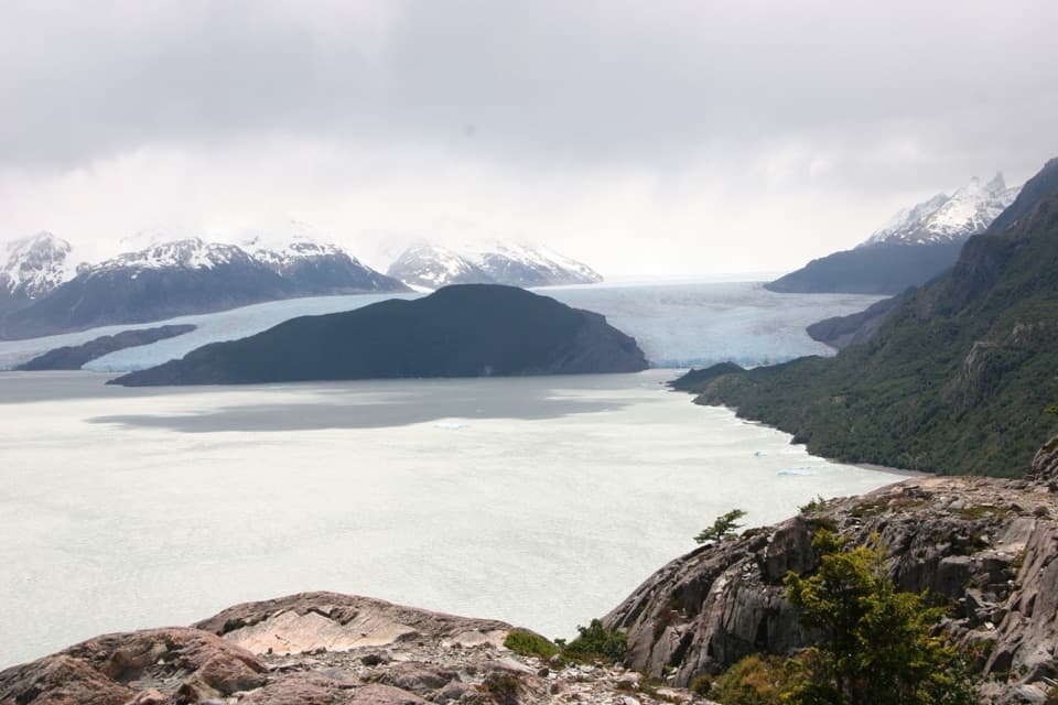 ModeratePaine Grande to Refugio Grey Trail11 km · 3.8 hr · 9.1 km awayAn 11-kilometer W-route crossing with Grey Glacier in view.
 ModeratePaine Grande to Administration Trail17.9 km · 5 hr · 9.2 km awayA long one-way mountain walk from Paine Grande to park Administration.
 ModerateMirador Grey Trail from Paine Grande11.9 km · 4.5 hr · 9.2 km awayA rocky climb earns a distant Grey Glacier view
 ChallengingMirador Británico Trail10.8 km · 6 hr · 9.7 km awayA steep climb into a granite amphitheater above the glacier.
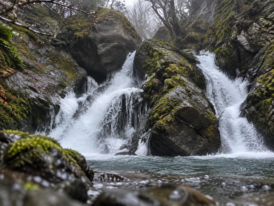 ModerateChorrillo de los Salmones8.9 km · 3.5 hr · 13.3 km awayFollow the Pingo River to a forest waterfall lookout and return.
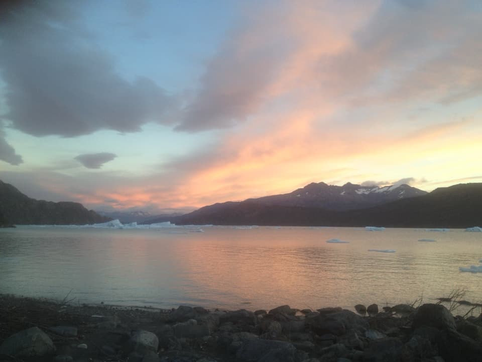 EasyPlaya Grey and Mirador Isla de los Hielos Trail5.3 km · 2 hr · 13.3 km awayLoose pebbles, drifting ice and a broad view across Grey Lake.
 Campground · At the trailheadRefugio y Camping GreyBunks, tents and hot showers near Grey Glacier.
 Sight · 0.8 km awayMirador Glaciar GreyA close glacier lookout beyond Refugio Grey, earned by a long hike.Sight · 4.1 km awayMirador Lago GreyGrey Lake runs to a faraway glacier between dark peaks.
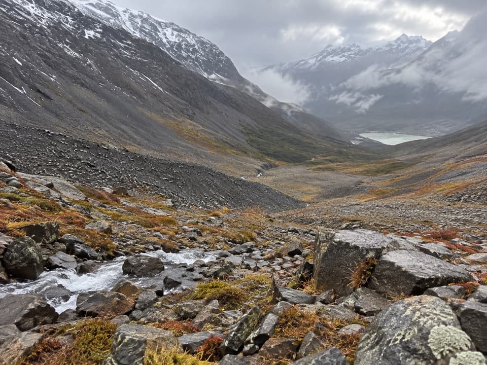 Sight · 7.5 km awayPaso John GarnerThe O Circuit's high point looks over Grey Glacier and the icefield.
 Sight · 8 km awayCascada PingoA split waterfall tucked into a long walk beside the Pingo River.
 Sight · 8.8 km awaySköttsberg Lake ViewpointA lakeside pause on the Paine Grande–Italiano hiking route.
 Campground · 8.9 km awayCamping Los PerrosA remote campsite before the long climb over John Gardner Pass.
 Sight · 9 km awayMirador BritánicoA long, demanding climb to the French Valley’s big panorama.
Parkwolf’s Torres del Paine ranking

The audio tour guide for the drive, plus offline maps, trails, and wildlife heatmaps for when the signal drops.