Parking
This is a point-to-point route from the signed west trailhead to the Elephant Rock Loop area. No shuttle was confirmed, so arrange a second vehicle or pickup. Use designated parking only; roadside parking is prohibited.

Valley of Fire State Park, NV
A long desert crossing on an old road marked by arrowheads.
Overview
Map & elevation
Plan your hike

The highest, rockiest slopes around here are a summer buffet for grizzly bears.
Valley of Fire Tour Guide
Parkwolf is a GPS audio tour guide for Valley of Fire State Park. As you drive, it chimes in with what’s ahead: hidden gems, upcoming stops, history, geology, and wildlife, right through your car’s speakers.
Recorded for this trailhead
Old Arrowhead Road: A Historic Desert Crossing“Up ahead is the west trailhead for Old Arrowhead Road, once part of a motor route between Salt Lake City and Los Angeles.”
Plays as you drive up to this trailhead in the Parkwolf Valley of Fire Tour Guide.
More stories near here in the app
“Fantastic app with many points of information… It’s great to just turn on while you’re driving and it gives you an audio tour of the national Park. We love it!!!!”


Trail guide
Old Arrowhead Road is a 6.8-mile, one-way hike across the park's southern side, from the west-side marker to the highway near Elephant Rock Loop. It follows a rough historic road through open desert. Allow about 3.5 hours; the west end is roughly 700 feet higher than the east, while gravel, wash crossings and fading tread slow the walk. Choose it for the long historic crossing and broad desert views. If your day is short, the separate 1.2-mile Elephant Rock Loop gives you an easier walk at the eastern end.
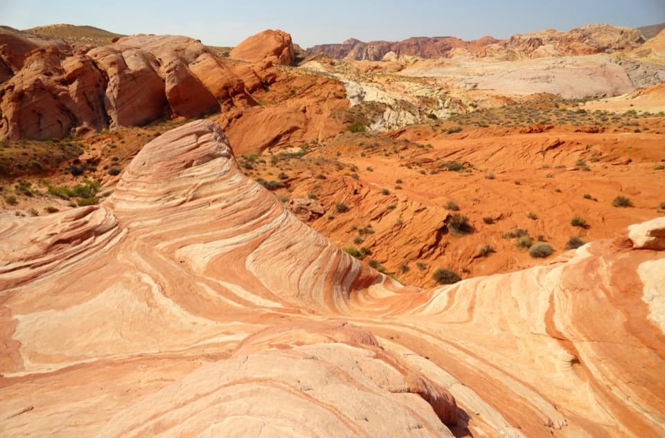
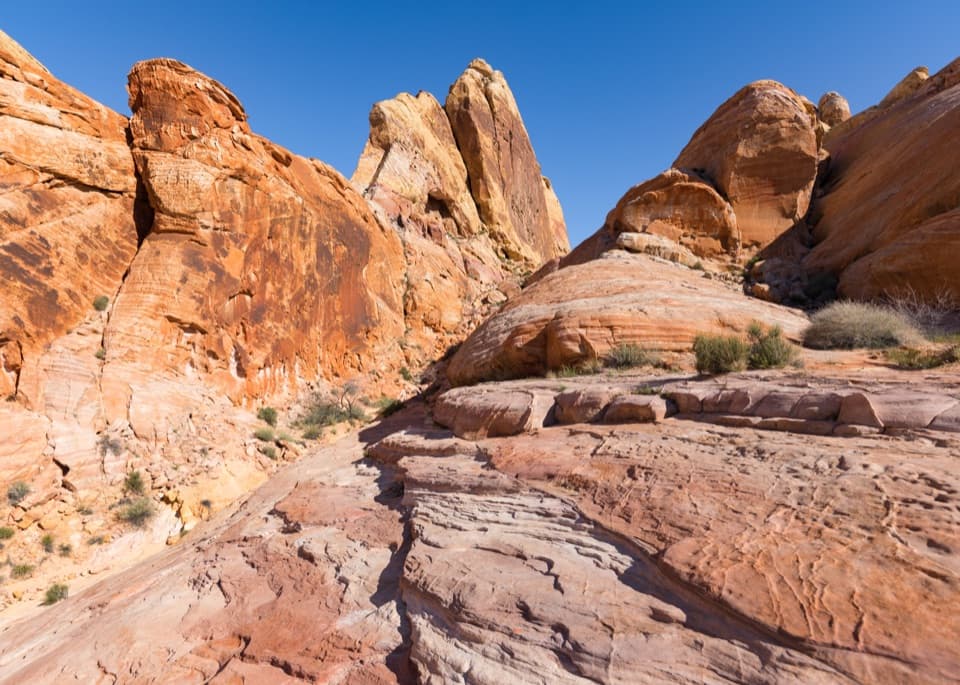
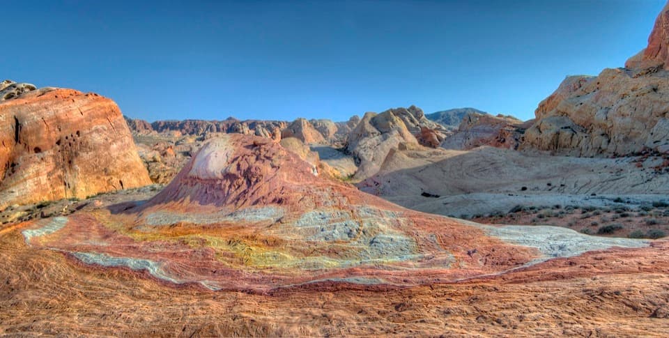
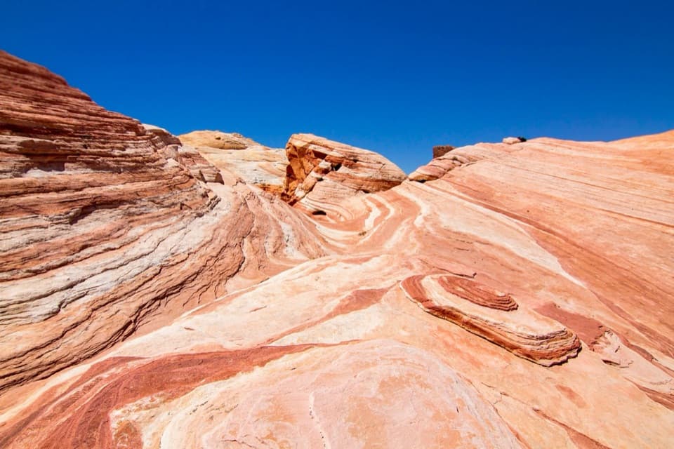
The west end passes between the Beehives and the southern hills. Red sandstone formations appear about a mile in, followed by a large wash crossing near mile 1.5. Much of the corridor is gravel above or through washes, with paired old tire lines visible in places. The tread can fade into the wash, so keep an eye out for the arrowhead-shaped markers. At the east end, following the wash instead of the markers can carry you more than a mile past the Elephant Rock Loop junction.
The higher western stretches look toward the red formations, the southern boundary hills and Overton Arm of Lake Mead. The payoff is the wide desert view. For a photo, leave part of the old track in the foreground so the route has scale.
The Arrowhead Trail was promoted as a route between Salt Lake City and Los Angeles; the rough road through this area dates to 1912. Paired tire grooves remain visible in places. Near the finish, look for Clark's Memorial and the old-road marker across from Elephant Rock Loop.
Start at the signed west trailhead and finish by Elephant Rock Loop. No trail shuttle was found, so arrange a pickup or second vehicle in advance. Park only in designated areas because roadside parking is prohibited. The park closes Arrowhead Trail from May 15 through September 30 each year because of heat-related emergencies. Leashed dogs are allowed on leads no longer than six feet.
Wildlife
 638 sightingsBighorn SheepMost seen around 6 PMSighting map
 11 sightingsMojave Desert TortoiseMost seen around 8 AMSighting map
 23 sightingsSidewinderMost seen around 7 PMSighting map
 18 sightingsBlack-tailed JackrabbitMost seen around 6 AMSighting map
 11 sightingsRingtailMost seen around 8 PMSighting map
 19 sightingsRed-tailed HawkMost seen around 10 AMSighting map
Sighting maps show where each species has been reported across Valley of Fire. Wildlife moves, so no sighting is guaranteed.
Keep exploring
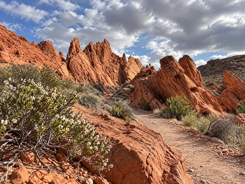 ModeratePinnacles Loop4.7 mi · 2.5 hr · 1.2 mi awayFollow a sandy wash into a pocket of red sandstone spires.
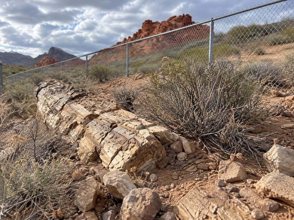 EasyPetrified Logs Loop Trail0.3 mi · 20 min · 1.3 mi awayA short loop with fossil wood and the story behind its grain.
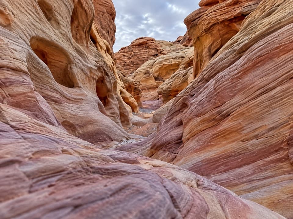 ModerateProspect Trail4.6 mi · 3.3 hr · 1.6 mi awayAn open cross-park hike over a red-rock pass into a striped wash.
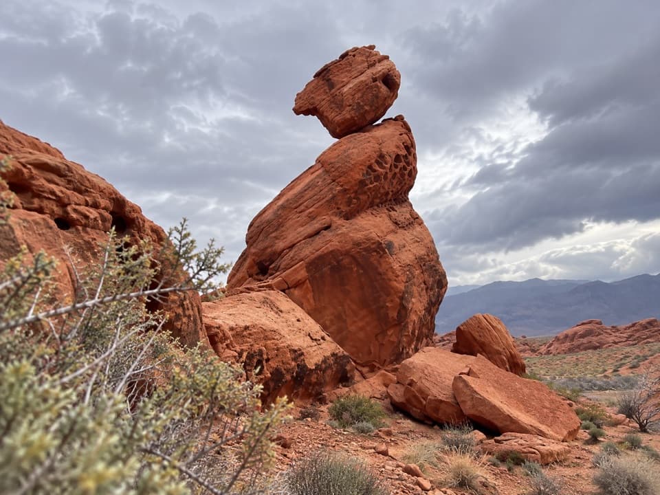 EasyBalancing Rock Trail0.3 mi · 15 min · 2.8 mi awayA short walk to a sandstone stack with an eyelet.
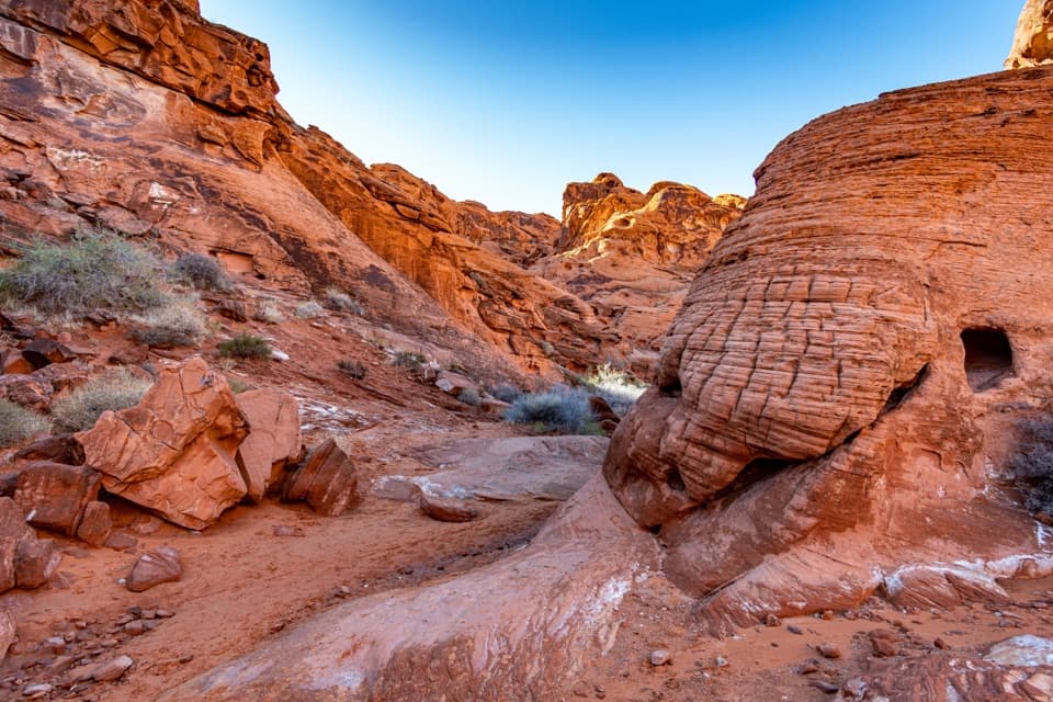 EasyMouse’s Tank Trail0.7 mi · 36 min · 3.2 mi awayLook up as you walk: petroglyphs mark a sandy red-rock canyon.
 EasyRainbow Vista Trail1 mi · 45 min · 3.8 mi awayA sandy canyon walk to a rugged overlook above Fire Canyon
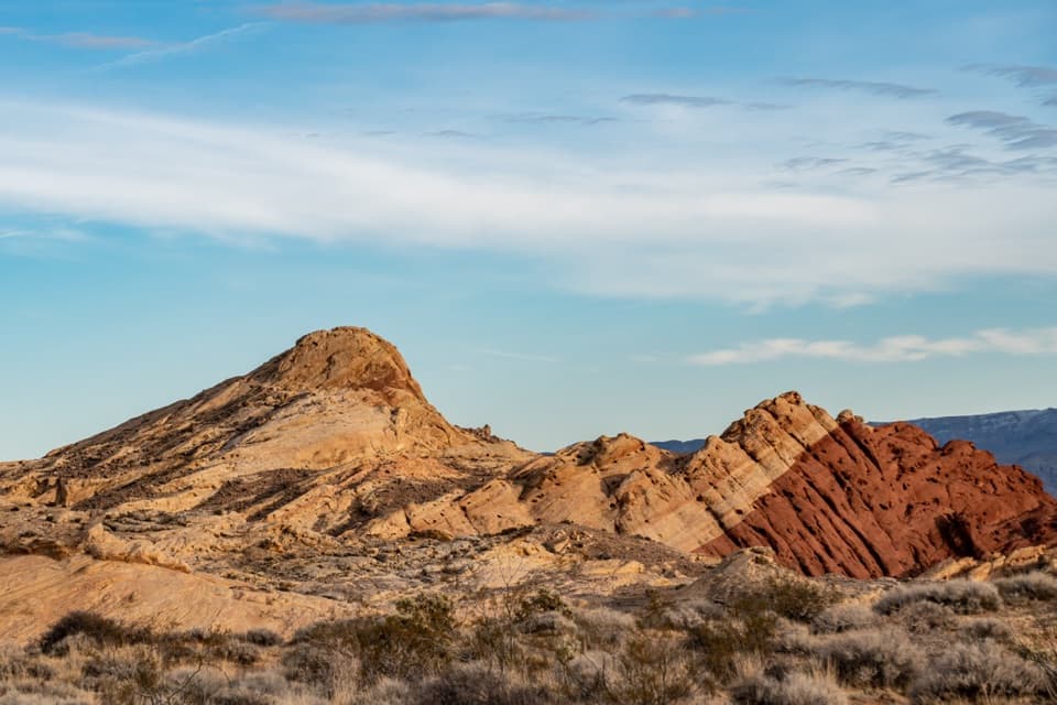 ModerateSilica Dome Trail1.2 mi · 1 hr · 4.5 mi awayA short scramble climbs to a wide view over Fire Canyon.
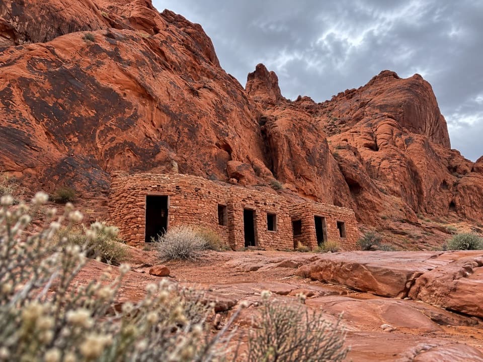 EasyThe Cabin Trail0.6 mi · 30 min · 4.5 mi awayWalk to 1930s CCC cabins, then pause at the shaded picnic area.
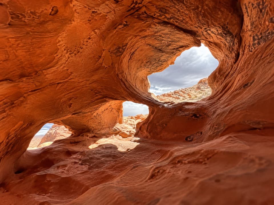 Sight · 0.3 mi awayFire Cave (Windstone Arch)The arch fell; the honeycomb sandstone is still worth a short look.
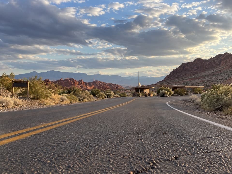 Entrance station · 0.6 mi awayWest EntrancePay admission here, with parking and a restroom before the park drive.
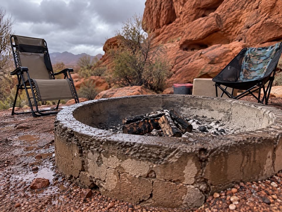 Campground · 0.6 mi awayGroup Camping AreaThree reservable sites each hold up to 45 people.
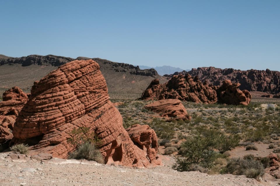 Sight · 0.6 mi awayBeehivesA quick walk among red domes striped with ancient dune layers.
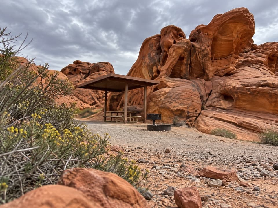 Campground · 0.7 mi awayArch Rock CampgroundSleep beneath the sandstone with tables, grills, and water on site.
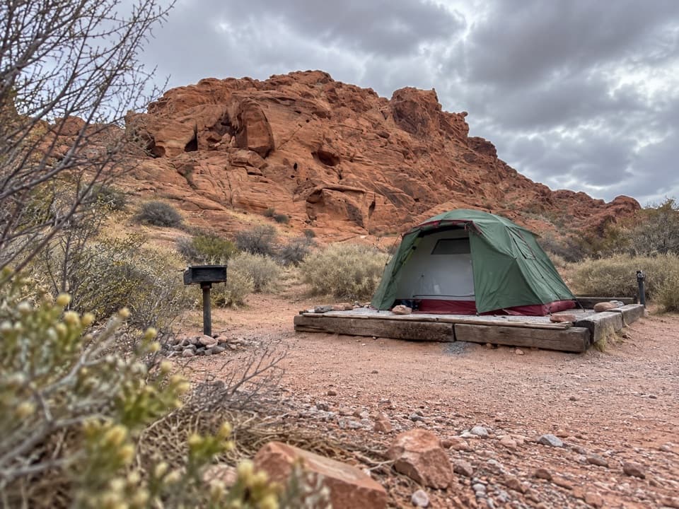 Campground · 0.7 mi awayAtlatl Rock CampgroundSleep among red sandstone and start the park day here.
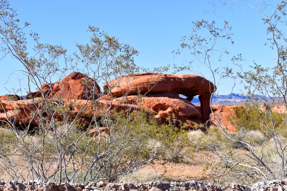 Sight · 0.8 mi awayPiano RockAn unsigned sandstone landmark beside Valley of Fire’s Scenic Loop.
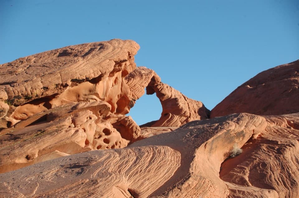 Sight · 1 mi awayArch RockA quick Scenic Loop stop for a red sandstone arch.
Parkwolf’s Valley of Fire ranking

The audio tour guide for the drive, plus offline maps, trails, and wildlife heatmaps for when the signal drops.