Parking
Follow the signed Petrified Logs gravel spur from Valley of Fire Highway for about 0.2 mile to the parking area at its end. This is the western loop; the separate petrified-log stop near the Visitor Center is a different destination.
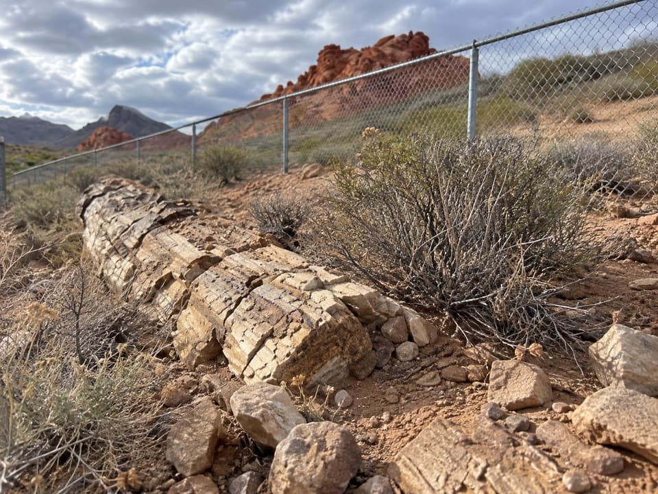
Valley of Fire State Park, NV
A short loop with fossil wood and the story behind its grain.
Overview
Map & elevation
Plan your hike

The highest, rockiest slopes around here are a summer buffet for grizzly bears.
Valley of Fire Tour Guide
Parkwolf is a GPS audio tour guide for Valley of Fire State Park. As you drive, it chimes in with what’s ahead: hidden gems, upcoming stops, history, geology, and wildlife, right through your car’s speakers.
Recorded for this trailhead
Petrified Logs: Keep Walking Past the First Display“You're approaching the western Petrified Logs stop, a short walk for a close look at fossil wood.”
Plays as you drive up to this trailhead in the Parkwolf Valley of Fire Tour Guide.
More stories near here in the app
“Fantastic app with many points of information… It’s great to just turn on while you’re driving and it gives you an audio tour of the national Park. We love it!!!!”


Trail guide
Petrified Logs Loop Trail is an easy 0.3-mile loop past several fenced petrified logs and interpretive panels on the west side of Valley of Fire. It takes about 15–20 minutes to walk, with a little more time if you read the displays. This is a quick stop for the fossils and their story, not a big landscape hike.
At the end of the signed gravel spur, take the path on the right. It follows a low ridge with views south toward red sandstone. The first fenced log appears about a tenth of a mile in, partly buried beside the trail. Farther along, two rectangular enclosures show more exposed wood, followed by another fenced display. The return curves left and climbs a gentle slope; near the lot, a few short paths converge, so keep the parking area as your landmark.
The northern displays show more of the trunks above the desert floor and make the clearest close look. Photograph them from outside the fences; the enclosures protect the fossils.
Interpretive panels explain that floodwaters carried trees from forests miles away and buried them beneath thick deposits. Mineral-rich groundwater filled the wood’s tiny spaces and gradually replaced the organic material while preserving the trunk’s shape. Iron and manganese oxides account for many of the colors. The trees may have been Araucarian pines growing here about 150 million years ago, though that identification is a likelihood rather than a certainty.
Follow the Petrified Logs sign from Valley of Fire Highway and drive about 0.2 mile on the gravel spur to the trailhead parking area. The park entrance fee applies; no separate hiking permit is required. Dogs are allowed on a leash up to six feet. Atlatl Rock’s shaded day-use area and restrooms are a separate nearby stop, not at this loop. The park advises against hiking when temperatures exceed 85°F (29°C).
Wildlife
 638 sightingsBighorn SheepMost seen around 6 PMSighting map
 11 sightingsMojave Desert TortoiseMost seen around 8 AMSighting map
 23 sightingsSidewinderMost seen around 7 PMSighting map
 18 sightingsBlack-tailed JackrabbitMost seen around 6 AMSighting map
 11 sightingsRingtailMost seen around 8 PMSighting map
 19 sightingsRed-tailed HawkMost seen around 10 AMSighting map
Sighting maps show where each species has been reported across Valley of Fire. Wildlife moves, so no sighting is guaranteed.
Keep exploring
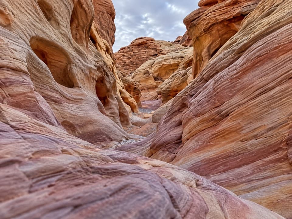 ModerateProspect Trail4.6 mi · 3.3 hr · 0.3 mi awayAn open cross-park hike over a red-rock pass into a striped wash.
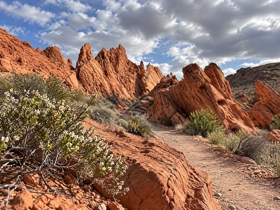 ModeratePinnacles Loop4.7 mi · 2.5 hr · 0.6 mi awayFollow a sandy wash into a pocket of red sandstone spires.
 ModerateOld Arrowhead Road6.8 mi · 3.5 hr · 1.3 mi awayA long desert crossing on an old road marked by arrowheads.
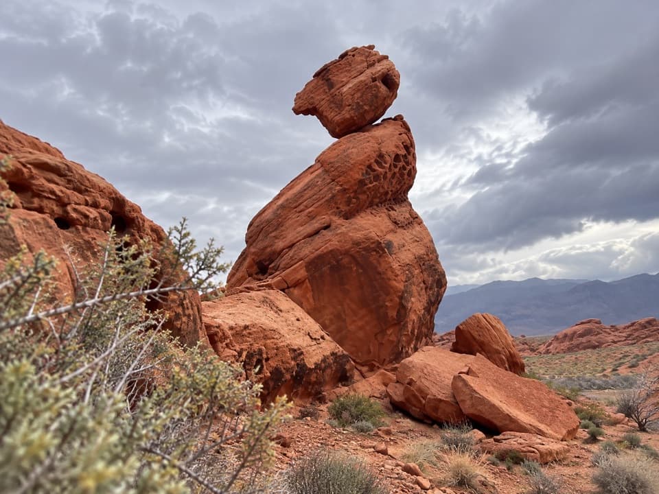 EasyBalancing Rock Trail0.3 mi · 15 min · 1.6 mi awayA short walk to a sandstone stack with an eyelet.
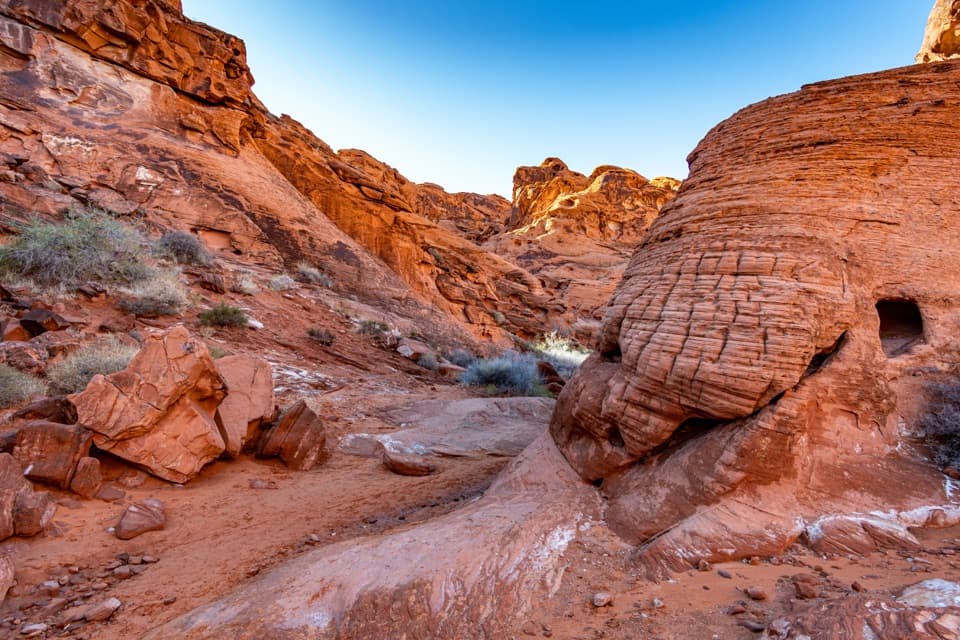 EasyMouse’s Tank Trail0.7 mi · 36 min · 1.9 mi awayLook up as you walk: petroglyphs mark a sandy red-rock canyon.
 EasyRainbow Vista Trail1 mi · 45 min · 2.4 mi awayA sandy canyon walk to a rugged overlook above Fire Canyon
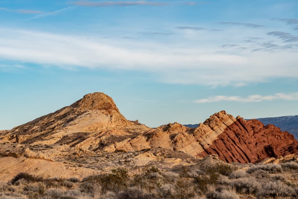 ModerateSilica Dome Trail1.2 mi · 1 hr · 3.1 mi awayA short scramble climbs to a wide view over Fire Canyon.
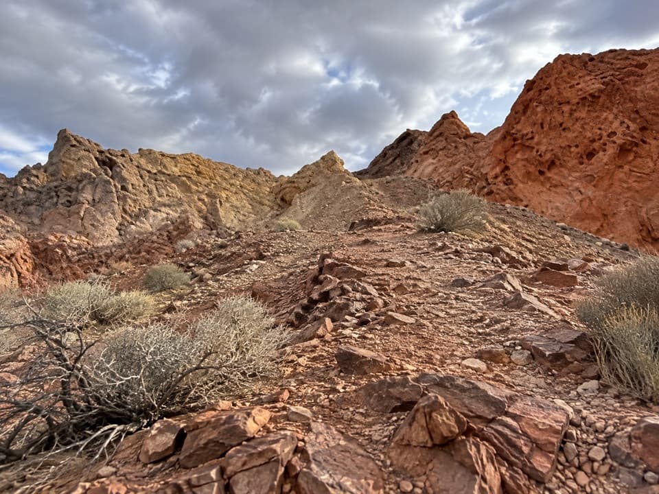 ModerateFire Canyon Loop Trail5.7 mi · 3.5 hr · 3.2 mi awayA longer Silica Dome circuit where a downloaded track earns its keep.
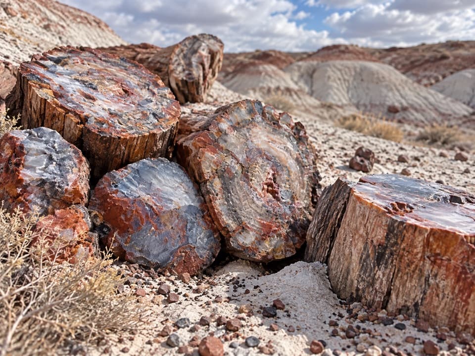 Sight · 0.1 mi awayPetrified LogsThe best-exposed trunks come farther along the short loop.
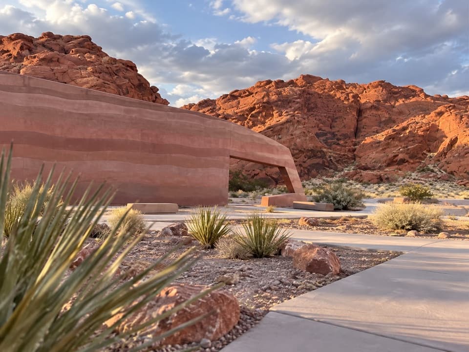 Visitor center · 0.3 mi awayValley of Fire Visitor CenterStart with the sandstone story before exploring the red-rock country.
 Sight · 0.5 mi awayAtlatl RockClimb above the road for petroglyphs framed by red sandstone.
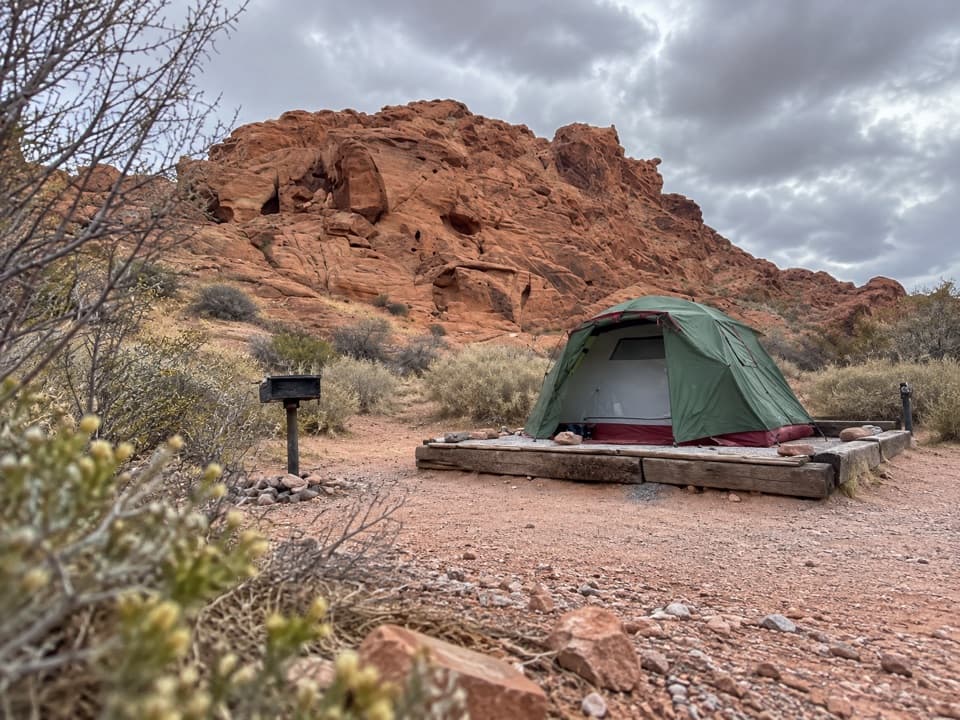 Campground · 0.7 mi awayAtlatl Rock CampgroundSleep among red sandstone and start the park day here.
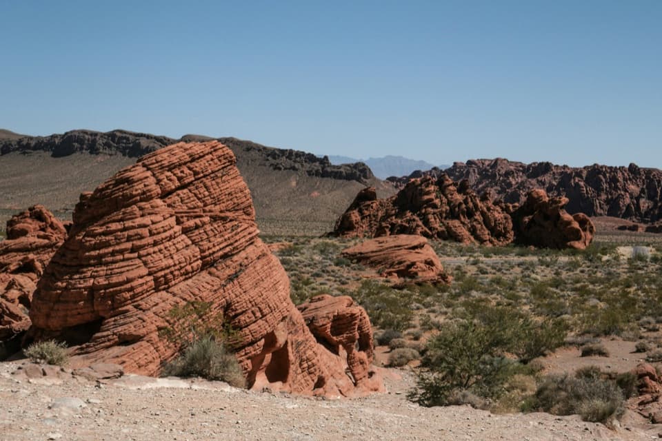 Sight · 0.7 mi awayBeehivesA quick walk among red domes striped with ancient dune layers.
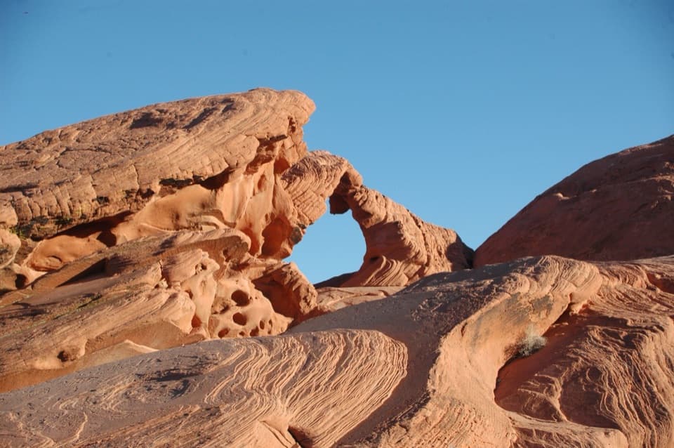 Sight · 0.7 mi awayArch RockA quick Scenic Loop stop for a red sandstone arch.
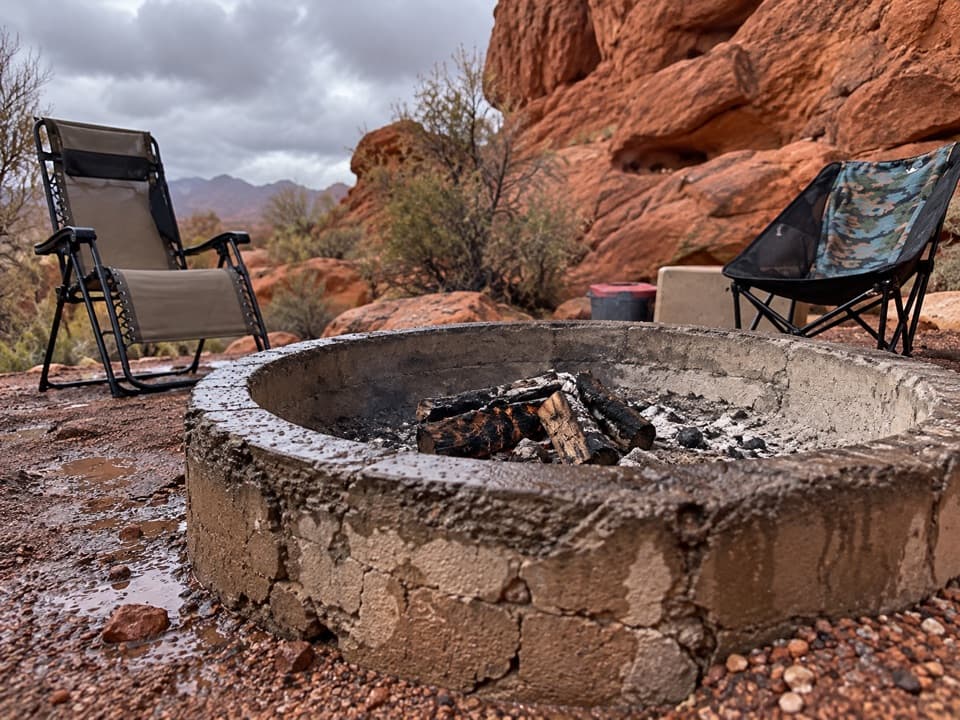 Campground · 0.8 mi awayGroup Camping AreaThree reservable sites each hold up to 45 people.
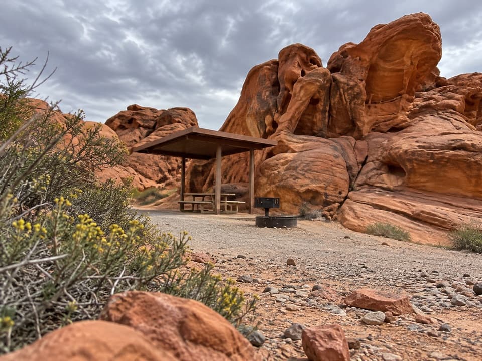 Campground · 1 mi awayArch Rock CampgroundSleep beneath the sandstone with tables, grills, and water on site.
Parkwolf’s Valley of Fire ranking

The audio tour guide for the drive, plus offline maps, trails, and wildlife heatmaps for when the signal drops.