Parking
Use the designated Atlatl Rock day-use parking area and cross the road to the signed trailhead. Roadside parking is prohibited; shaded picnic space and restrooms are available at Atlatl Rock.
Valley of Fire State Park, NV
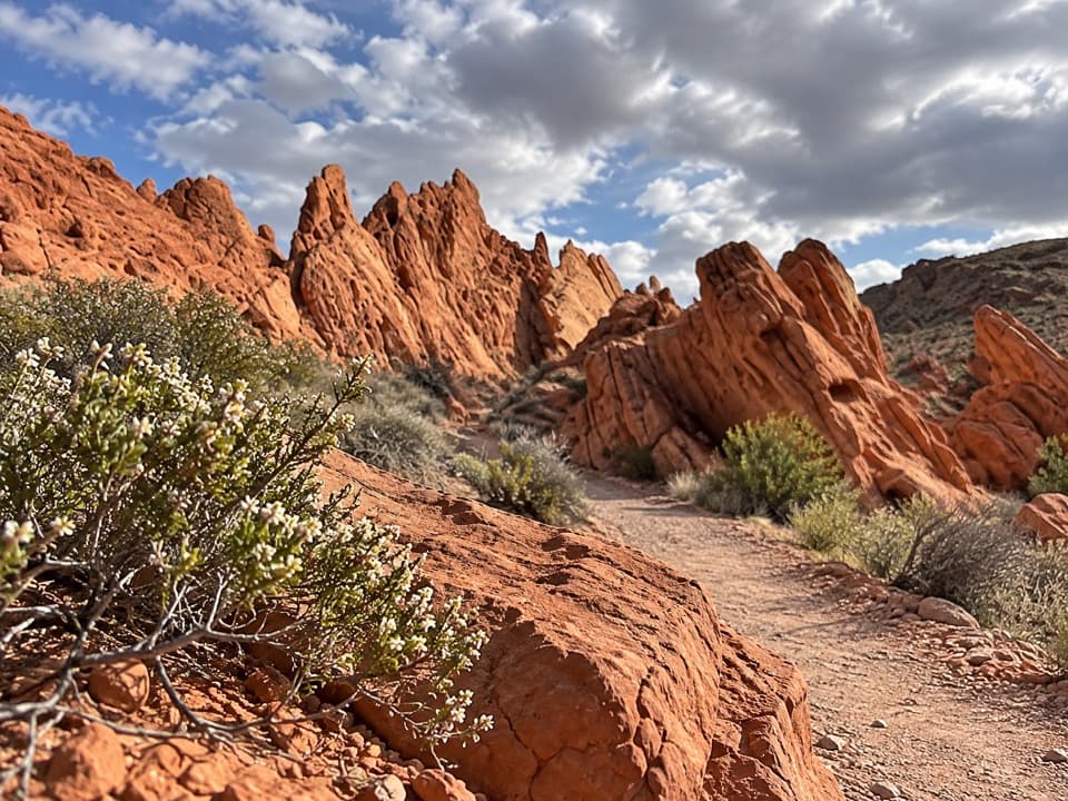
Follow a sandy wash into a pocket of red sandstone spires.
Overview
Map & elevation
Plan your hike

The highest, rockiest slopes around here are a summer buffet for grizzly bears.
Valley of Fire Tour Guide
Parkwolf is a GPS audio tour guide for Valley of Fire State Park. As you drive, it chimes in with what’s ahead: hidden gems, upcoming stops, history, geology, and wildlife, right through your car’s speakers.
Recorded for this trailhead
Atlatl Rock: The Petroglyph Platform“Up ahead is Atlatl Rock, where a steep metal stairway brings you close to petroglyphs high on the sandstone face. I'd stop here for rock art without a long hike, provided the stairs work for you.”
Plays as you drive up to this trailhead in the Parkwolf Valley of Fire Tour Guide.
More stories near here in the app
“Fantastic app with many points of information… It’s great to just turn on while you’re driving and it gives you an audio tour of the national Park. We love it!!!!”


Trail guide
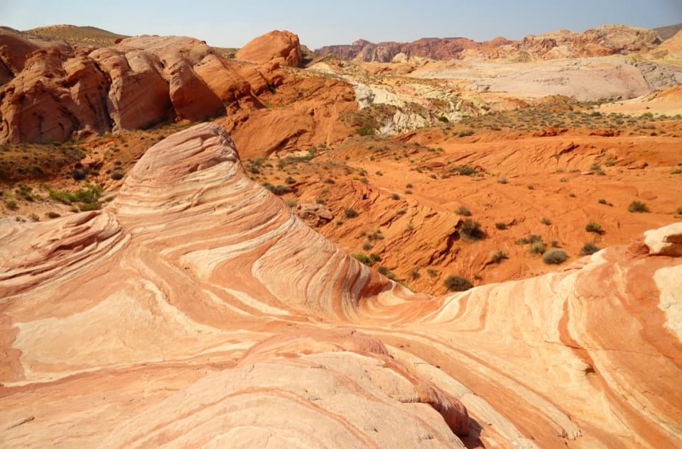
Pinnacles Loop is a desert circuit west of Atlatl Rock, with a long open approach, a walk through red sandstone spires, and a quieter return across washes and flats. Plan on about 4.7 miles for the full loop and roughly 2½ to 3 hours. The park map lists 4.5 miles; the mapped line including the short trailhead connections measures just under 4.75. Loose gravel and route-finding make this more than a quick stroll, even though the climbing is moderate.
Start across the road from the Atlatl Rock day-use lot, just past the West Entrance and Beehive formations. The signed trailhead is easy to miss. The walk begins in a broad wash of fine gravel that shifts underfoot, then crosses open scrub behind a large gray hill. Follow the posts while they are visible. The route is easiest to lose later, where tread and markers fade; watch for the right turn toward the pinnacles. Continuing up the wash takes you past the turn and eventually to a cliff.
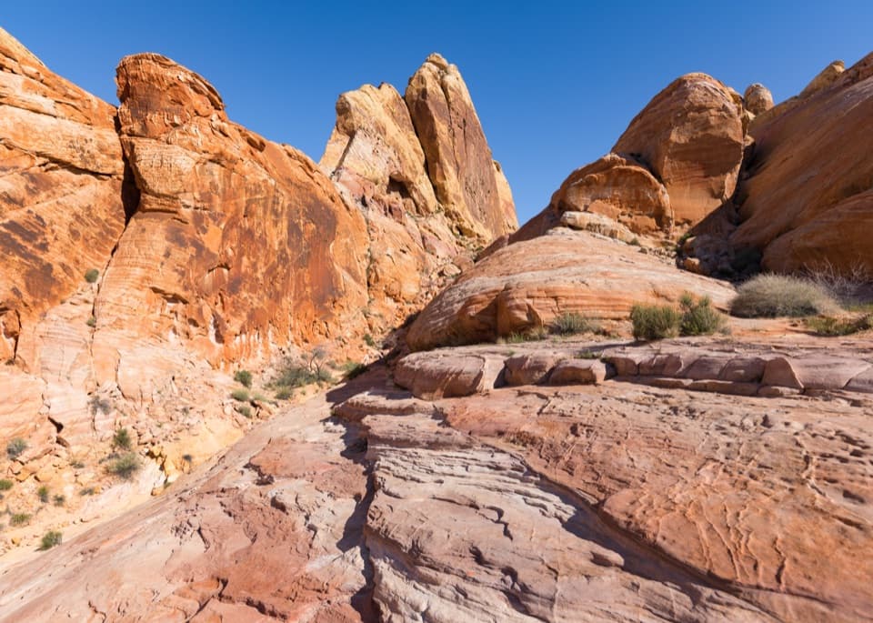
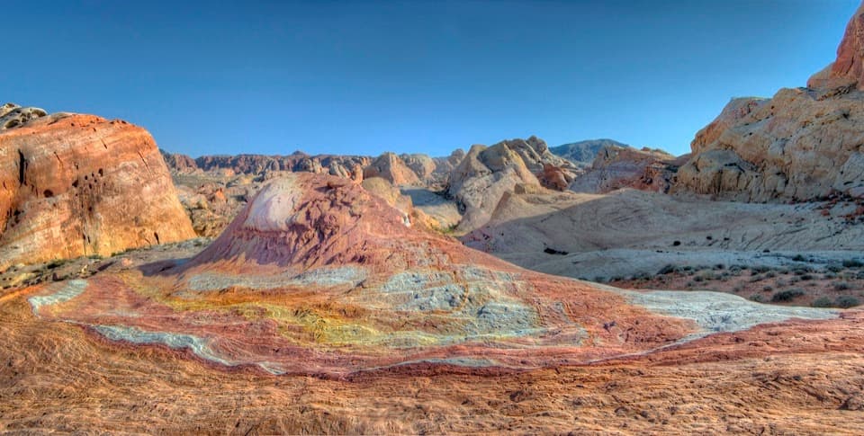
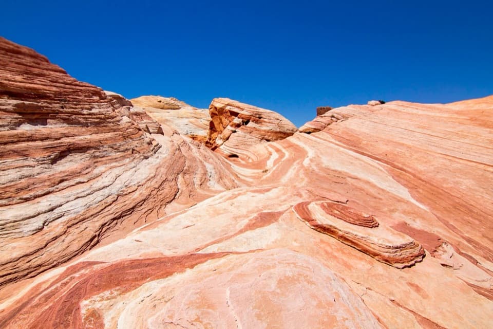
After about two miles, the orange formations rise ahead and the loop threads through their hidden valley. Give this section time: the upright fins and the single balancing rock are the payoff, not just scenery on the way to somewhere else. The red rock is Jurassic Aztec sandstone, formed from ancient shifting dunes roughly 150 million years ago. From the higher ground before the cluster, look back across the pinnacles with a strip of trail in the frame; it gives the towers scale.
The loop circles a broad hill, passing through the pinnacles on one side and returning through a more compact brown-rock wash and open flats. That far side can feel easier underfoot than the loose gravel at the start, but the tread comes and goes, so keep checking your position rather than assuming the wash is the route. Desert plants such as cholla, hedgehog cactus and prickly pear grow among the flats.
Wildlife
 638 sightingsBighorn SheepMost seen around 6 PMSighting map
 11 sightingsMojave Desert TortoiseMost seen around 8 AMSighting map
 23 sightingsSidewinderMost seen around 7 PMSighting map
 18 sightingsBlack-tailed JackrabbitMost seen around 6 AMSighting map
 11 sightingsRingtailMost seen around 8 PMSighting map
 19 sightingsRed-tailed HawkMost seen around 10 AMSighting map
Sighting maps show where each species has been reported across Valley of Fire. Wildlife moves, so no sighting is guaranteed.
Keep exploring
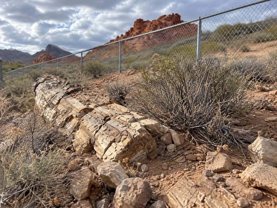 EasyPetrified Logs Loop Trail0.3 mi · 20 min · 0.6 mi awayA short loop with fossil wood and the story behind its grain.
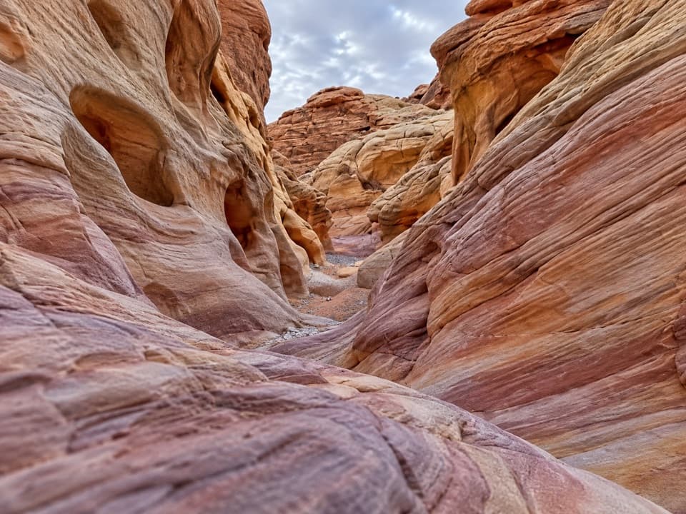 ModerateProspect Trail4.6 mi · 3.3 hr · 0.6 mi awayAn open cross-park hike over a red-rock pass into a striped wash.
 ModerateOld Arrowhead Road6.8 mi · 3.5 hr · 1.2 mi awayA long desert crossing on an old road marked by arrowheads.
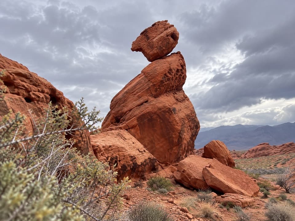 EasyBalancing Rock Trail0.3 mi · 15 min · 2.1 mi awayA short walk to a sandstone stack with an eyelet.
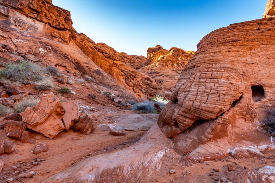 EasyMouse’s Tank Trail0.7 mi · 36 min · 2.3 mi awayLook up as you walk: petroglyphs mark a sandy red-rock canyon.
 EasyRainbow Vista Trail1 mi · 45 min · 2.7 mi awayA sandy canyon walk to a rugged overlook above Fire Canyon
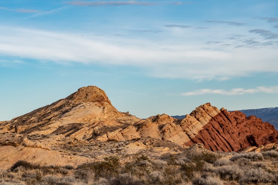 ModerateSilica Dome Trail1.2 mi · 1 hr · 3.5 mi awayA short scramble climbs to a wide view over Fire Canyon.
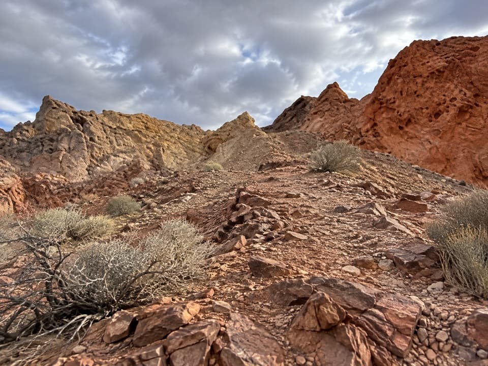 ModerateFire Canyon Loop Trail5.7 mi · 3.5 hr · 3.5 mi awayA longer Silica Dome circuit where a downloaded track earns its keep.
 Sight · 0.1 mi awayAtlatl RockClimb above the road for petroglyphs framed by red sandstone.
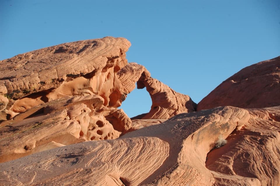 Sight · 0.3 mi awayArch RockA quick Scenic Loop stop for a red sandstone arch.
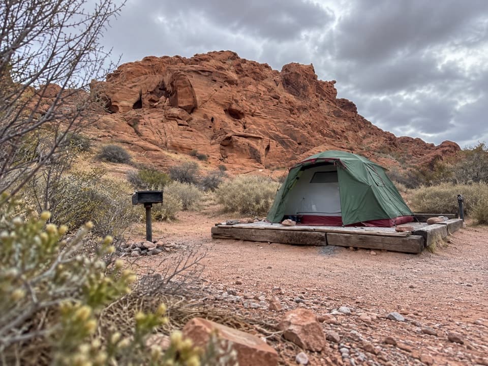 Campground · 0.5 mi awayAtlatl Rock CampgroundSleep among red sandstone and start the park day here.
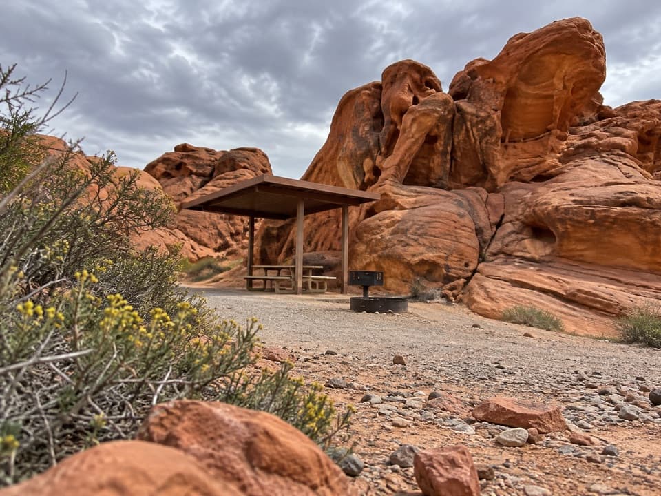 Campground · 0.6 mi awayArch Rock CampgroundSleep beneath the sandstone with tables, grills, and water on site.
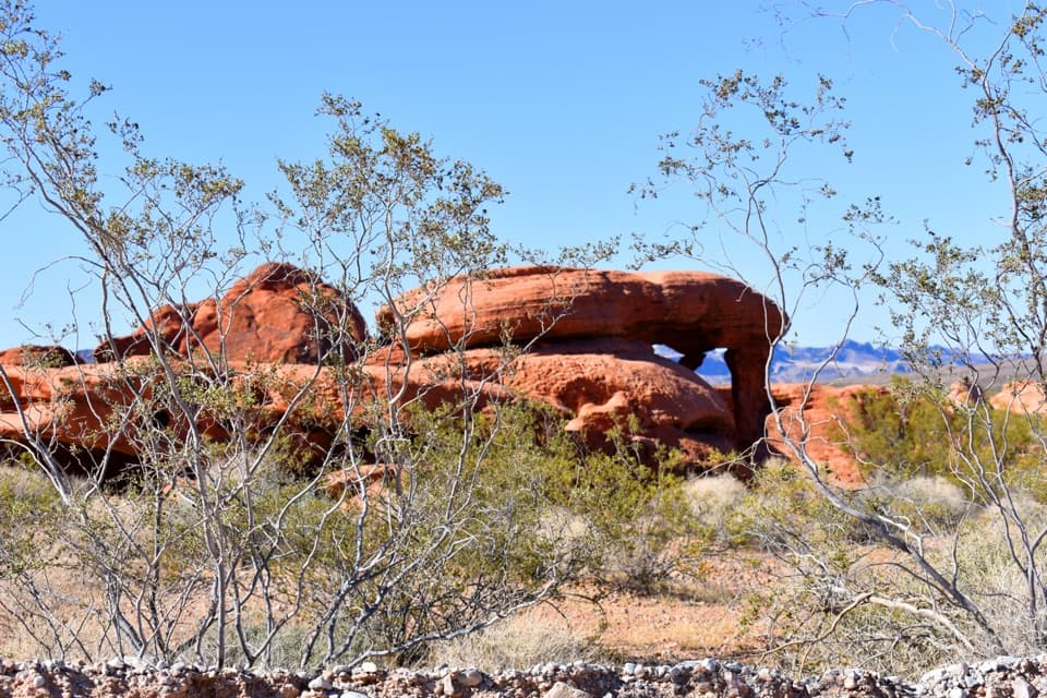 Sight · 0.6 mi awayPiano RockAn unsigned sandstone landmark beside Valley of Fire’s Scenic Loop.
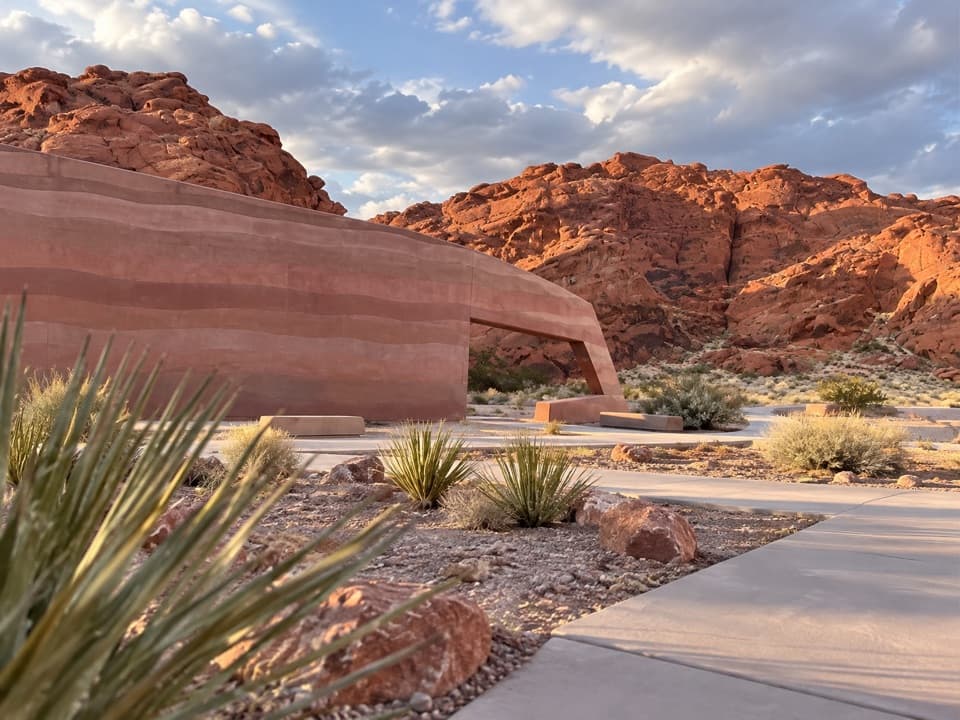 Visitor center · 0.6 mi awayValley of Fire Visitor CenterStart with the sandstone story before exploring the red-rock country.
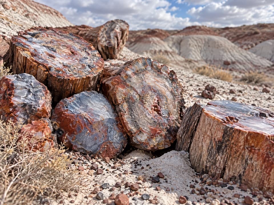 Sight · 0.6 mi awayPetrified LogsThe best-exposed trunks come farther along the short loop.
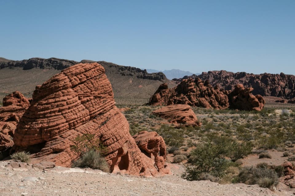 Sight · 0.8 mi awayBeehivesA quick walk among red domes striped with ancient dune layers.
Parkwolf’s Valley of Fire ranking

The audio tour guide for the drive, plus offline maps, trails, and wildlife heatmaps for when the signal drops.