Overview
About Morsárjökull Viewpoint
Why stop
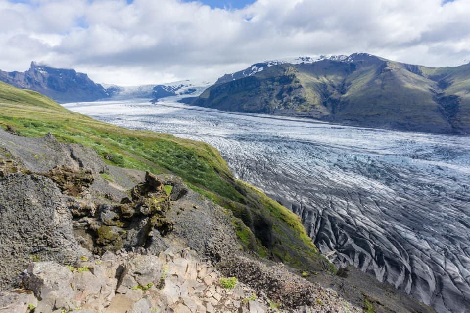
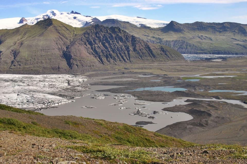
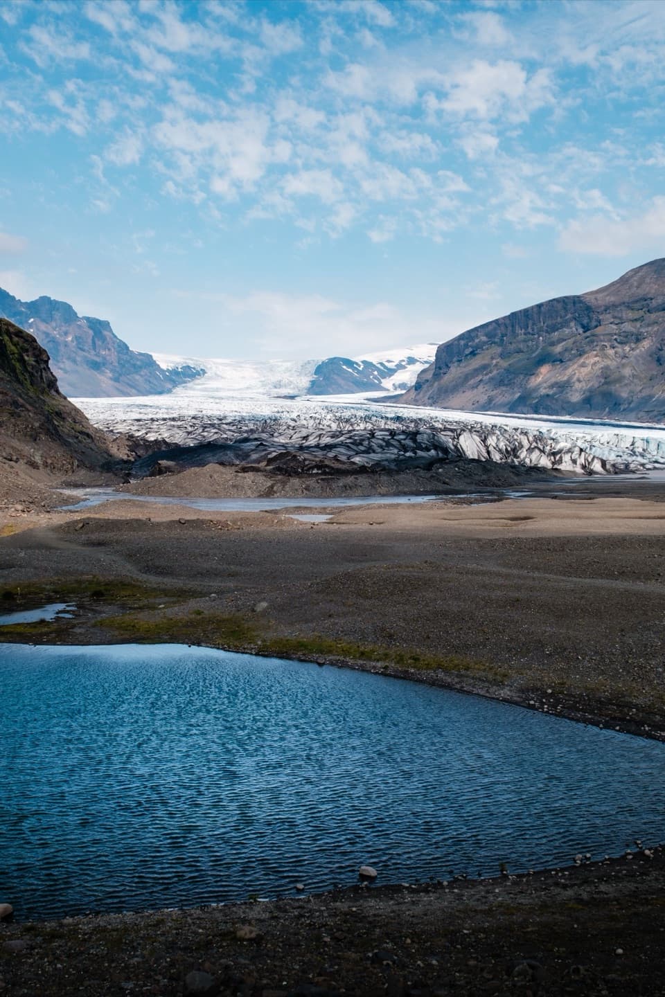
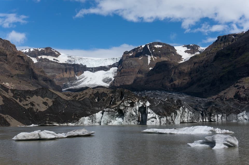
- A close view of the glacier and its icefall above the lake.
Heads up
- The challenging M2 route takes 19.5 km and about 6–7 hours.
Map
Where it is

The highest, rockiest slopes around here are a summer buffet for grizzly bears.
Vatnajökull Tour Guide
Your drive to Morsárjökull Viewpoint, narrated.
Parkwolf is a GPS audio tour guide for Vatnajökull National Park. As you drive, it chimes in with what’s ahead: hidden gems, upcoming stops, history, geology, and wildlife, right through your car’s speakers.
Recorded for this place
Skaftafell: Waterfall or Glacier Walk“You're nearing Skaftafell, the starting point for walks to Svartifoss and the glacier. Start at the visitor centre if you haven't chosen a route.”
Plays as you drive up to Morsárjökull Viewpoint in the Parkwolf Vatnajökull Tour Guide.
More stories near here in the app
- The Woods Iceland Lost
- Svínafellsjökull Viewpoint
- 298 audio storiesacross Vatnajökull’s roads, triggered by GPS as you drive
- Wildlife heatmapsfor Grey Seal, Harbor Seal, Caribou, and 13 more
- Works offlinemaps, 92 trails, 75 places, and audio download before you lose signal
- CarPlay readysimple controls built for the drive
“Fantastic app with many points of information… It’s great to just turn on while you’re driving and it gives you an audio tour of the national Park. We love it!!!!”


Guide
More about Morsárjökull Viewpoint
Morsárjökull from the lakeMorsárjökull Viewpoint is the land-side outlook beside the glacial lake at the front of…
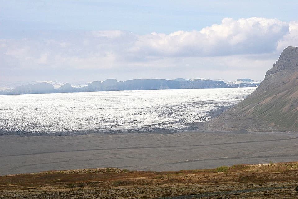
Morsárjökull Viewpoint is the land-side outlook beside the glacial lake at the front of Morsárjökull, an outlet glacier in Morsárdalur. The ice drops over a cliff toward the water, giving you a close look at the glacier’s edge. The park says falling ice can often be heard here in summer. The lake makes a striking foreground for the glacier and its icefall, but getting this view takes a serious hike.
Plan for the full M2 routeThe viewpoint is on the M2 route from Skaftafellsstofa in Skaftafell.
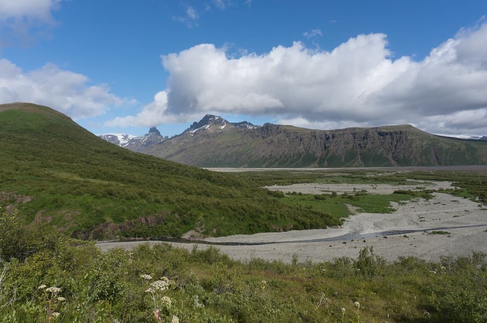
The viewpoint is on the M2 route from Skaftafellsstofa in Skaftafell. The park rates it challenging: 19.5 km, 350 m of elevation gain, and about 6–7 hours. This is a full-day outing, not a drive-up stop. The route heads through Sjónarsker into Morsárdalur, reaches the glacier lake, then returns toward Grjóthóll, crosses the Morsá by footbridge, and comes back by Götugil. Check the park’s trail guidance before setting out; it warns that conditions can change quickly outside summer.
A scar on the iceA 2007 landslide left a broad scar on the glacier.
A 2007 landslide left a broad scar on the glacier. The scar is still reported as visible, though weather and the viewing angle can make it harder to pick out. It’s a vivid reminder that this is an active, changing landscape; the glacier edge and the lake beside it continue to shift.
Keep Morsárfoss separateMorsárfoss is a different waterfall farther north in the same glacier area.
Morsárfoss is a different waterfall farther north in the same glacier area. The M2 destination is the land-side outlook by the lake in front of Morsárjökull; reaching it does not mean you have reached the waterfall.
Wildlife
Wildlife in Vatnajökull
 23 sightingsGrey SealMost seen around 5 AMSighting map
 260 sightingsHarbor SealMost seen around 11 AMSighting map
 184 sightingsCaribouMost seen around 7 PMSighting map
 62 sightingsArctic FoxMost seen around 8 PMSighting map
 169 sightingsWhooper SwanMost seen around 5 PMSighting map
 68 sightingsAtlantic PuffinMost seen around 7 PMSighting map
Sighting maps show where each species has been reported across Vatnajökull. Wildlife moves, so no sighting is guaranteed.