Parking
Start at the Red Rock Canyon upper parking lot, where Snowshoe Trail begins. Access via Red Rock Parkway, which closes to vehicles from October through May depending on weather; check seasonal road access before planning.

Waterton Lakes National Park, AB
A long forest walk to a quiet watershed ridge.
Overview
Castle River Divide Trail is a roughly 14-mile (22.6-km) out-and-back from the Red Rock Canyon upper lot. Follow Snowshoe Trail to its backcountry campground, then climb about 1.8 miles (2.9 km) to the forested ridge at Waterton’s boundary. Allow about eight hours on foot. The old fire road is gentle; the upper spur climbs steadily but not steeply. Choose this for a long, quiet forest day and the watershed divide, not for a broad alpine summit view. The route gains roughly 1,750 feet (530 m) on the way out.
 Parkwolf’s verdictIs the long walk worth it?
Map & elevation
Plan your hike

The highest, rockiest slopes around here are a summer buffet for grizzly bears.
Waterton Lakes Tour Guide
Parkwolf is a GPS audio tour guide for Waterton Lakes National Park. As you drive, it chimes in with what’s ahead: hidden gems, upcoming stops, history, geology, and wildlife, right through your car’s speakers.
See the Waterton Lakes audio tourRecorded for this trailhead
Red Rock Canyon“You’re coming up on Red Rock Canyon, where a creek cuts through red and green rock. This is a good stop for a close look at the landscape without a long hike.”
Plays as you drive up to this trailhead in the Parkwolf Waterton Lakes Tour Guide.
More stories near here in the app
“Fantastic app with many points of information… It’s great to just turn on while you’re driving and it gives you an audio tour of the national Park. We love it!!!!”


Trail guide
At Snowshoe backcountry campground, take the uphill Castle Divide spur. Around 0.8 mile in, stay straight/right at the Lost Lake junction. Near the end, continue straight past the Avion Ridge fork to the ridge-top park boundary; the northeast branch is Avion Ridge, and the trail beyond the boundary heads down toward Castle River. The spur stays in fir forest, with occasional openings toward high cliffs and rock walls. At the endpoint, the Castle River watershed lies northwest of the ridge and the Bauerman/Blakiston drainage is southeast. Return the same way.
Begin at the upper parking lot; Snowshoe starts there and the customary route crosses Red Rock Creek before continuing straight. Red Rock Parkway closes to vehicles seasonally from October through May, depending on weather, so check access before planning. Snowshoe is a former fire road also used by cyclists and horse riders. Pets must remain on leash or in suitable confinement. An overnight stay at Snowshoe campground requires a reservation; the day hike continues past it.
Wildlife
 83 sightingsBisonMost seen around 7 PMSighting map
 563 sightingsBlack BearMost seen around 6 PMSighting map
 146 sightingsElkMost seen around 7 PMSighting map
 113 sightingsBighorn SheepMost seen around 7 PMSighting map
 55 sightingsBald EagleMost seen around 9 AMSighting map
 53 sightingsTrumpeter SwanMost seen around 6 PMSighting map
Sighting maps show where each species has been reported across Waterton Lakes. Wildlife moves, so no sighting is guaranteed.
Keep exploring
 EasyRed Rock Canyon Loop Trail0.7 km · 24 min · At the trailheadA quick paved loop through red, green and pale canyon walls.
 ChallengingTwin Lakes Trail22.7 km · 9 hr · At the trailheadTwo alpine lakes reward a long climb through creekside meadows.
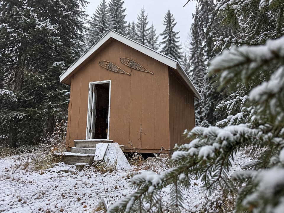 ModerateSnowshoe Trail16.4 km · 5 hr · At the trailheadA 10-mile return on the former fire road to Snowshoe Cabin.
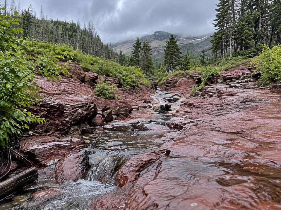 ModerateLost Lake Trail20.8 km · 8 hr · At the trailheadA long creek walk ends at a lake below the Continental Divide.
 EasyBlakiston Falls Trail2.3 km · 54 min · At the trailheadTwo creek bridges lead to twin views of the waterfall.
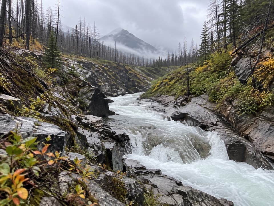 ModerateBlakiston Valley Trail20.1 km · 7 hr · At the trailheadA daylong creek walk to an open valley junction.
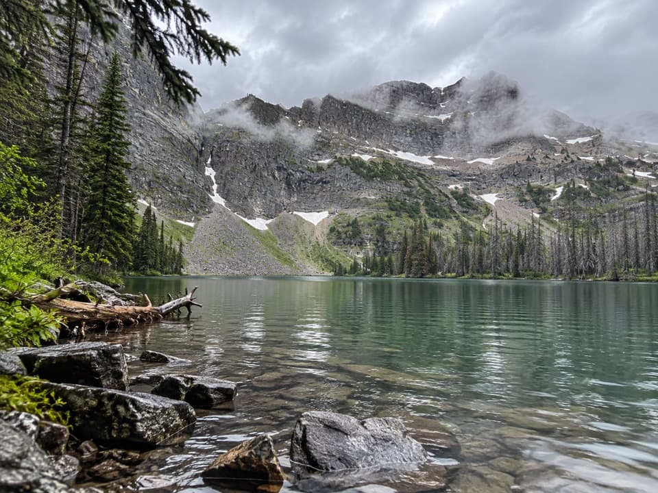 ChallengingGoat Lake Trail14 km · 5 hr · At the trailheadA rolling forest approach rises steeply to a cirque-ringed lake.
 ChallengingAvion Ridge Loop24.9 km · 10 hr · At the trailheadA full-day loop from Goat Lake across Avion Ridge.
 Sight · At the trailheadRed Rock CanyonA quick creekside walk through red and green canyon rock.Sight · 0.8 km awayBlakiston FallsAn easy creekside walk ends at two platforms above the falls.
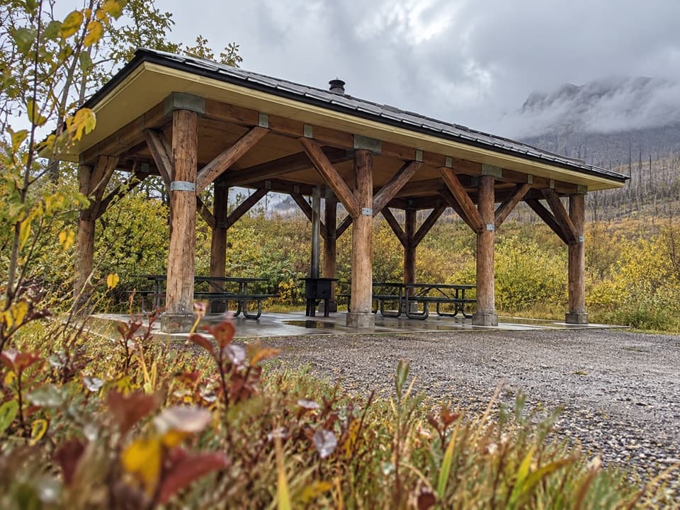 Picnic area · 2.3 km awayLost Horse Creek Day Use AreaA stove-equipped shelter makes this a handy picnic stop.
 Picnic area · 5.8 km awayCoppermine Day Use AreaA sheltered picnic break on the Red Rock Parkway.
 Campground · 5.9 km awayGoat LakeCliff-ringed lake at the end of a steep, hard-earned hike.
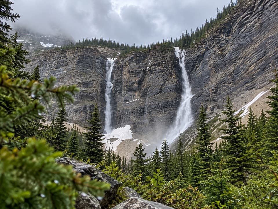 Sight · 6.2 km awayLineham FallsA moderate hike to twin falls beneath two high peaks.
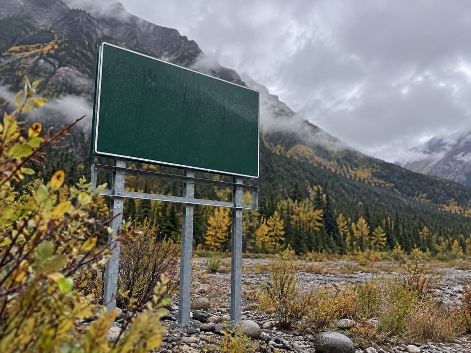 Campground · 6.4 km awayCrandell Mountain CampgroundRed Rock Parkway’s campground, reshaped by the Kenow fire.
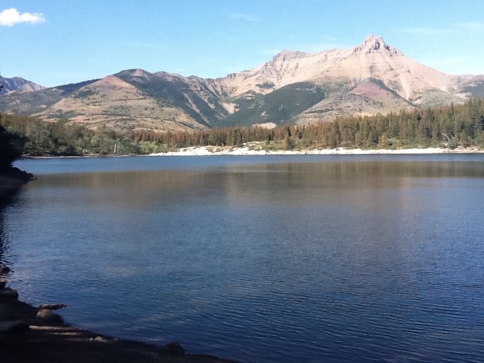 Sight · 6.6 km awayCrandell LakeA mountain-framed lake reached by a short uphill walk.
Parkwolf’s Waterton Lakes ranking
The audio tour guide for the drive, plus offline maps, trails, and wildlife heatmaps for when the signal drops.





